© EVAdinarica Project - EVA dinarica
© EVAdinarica Project
© EVAdinarica Project
© EVAdinarica Project - EVA dinarica
© EVAdinarica Project - EVA dinarica

- Korte beschrijving
-
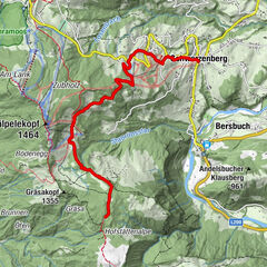
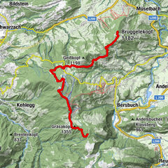
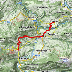
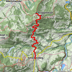
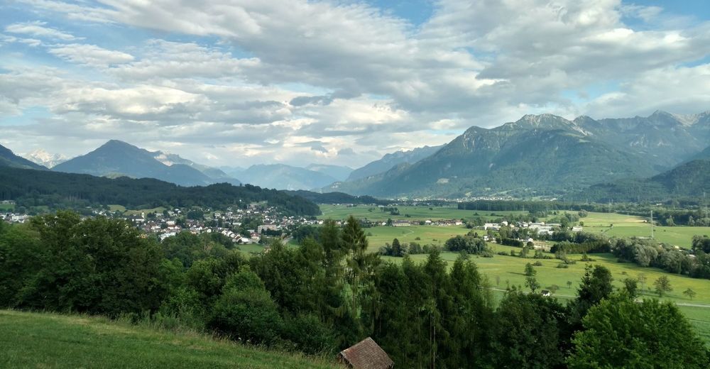
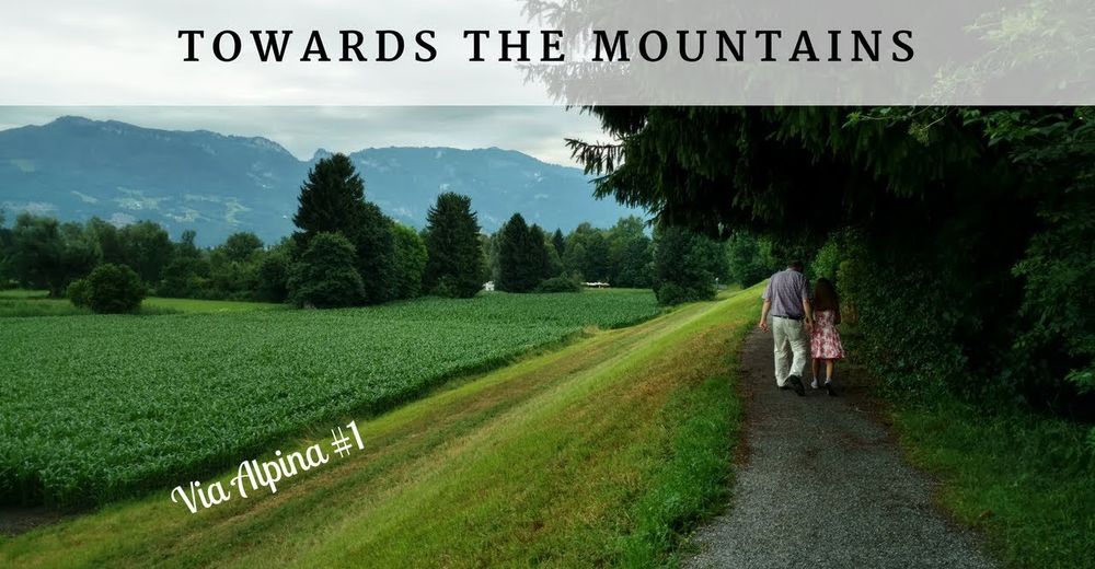
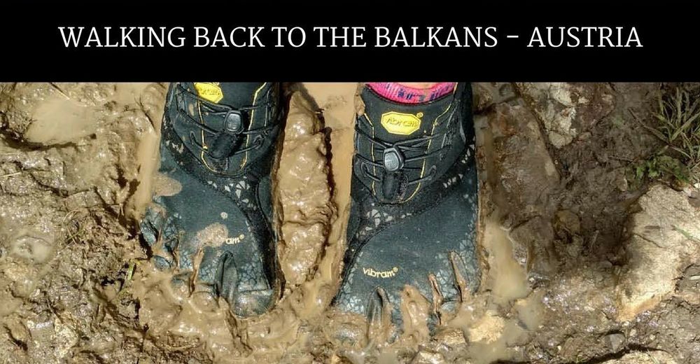
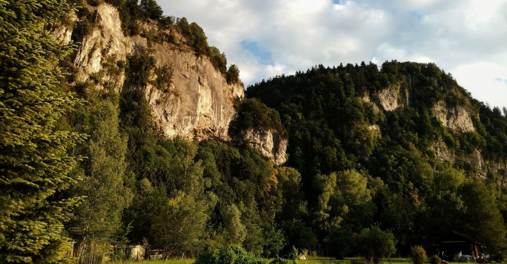
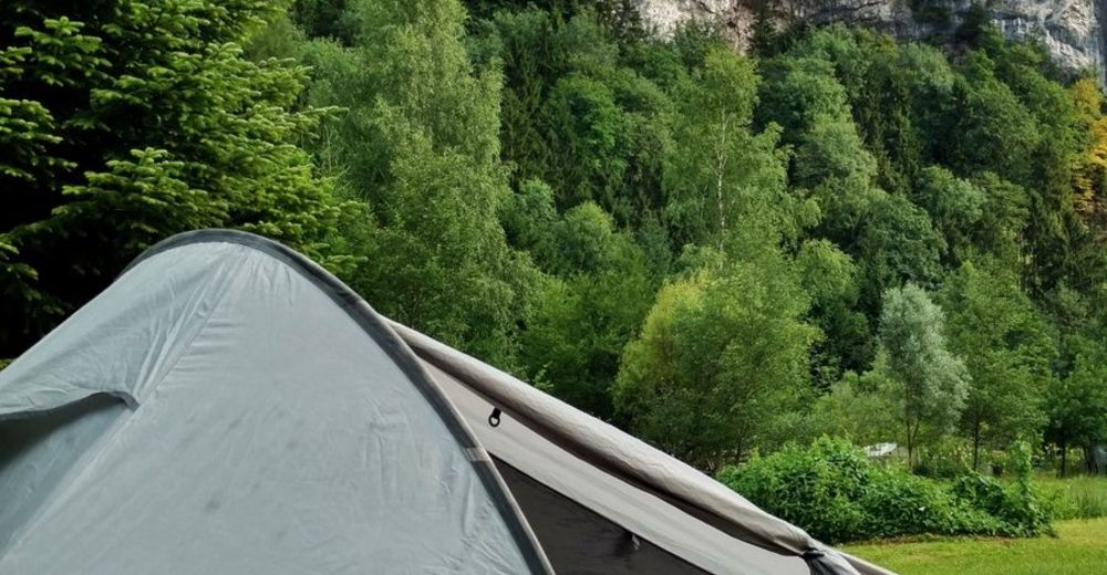
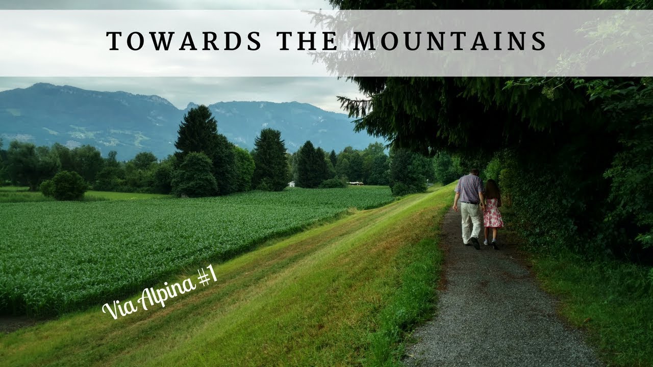
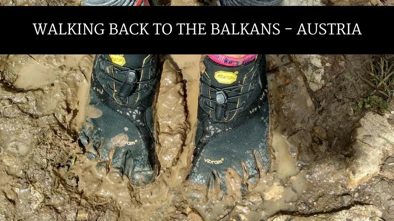
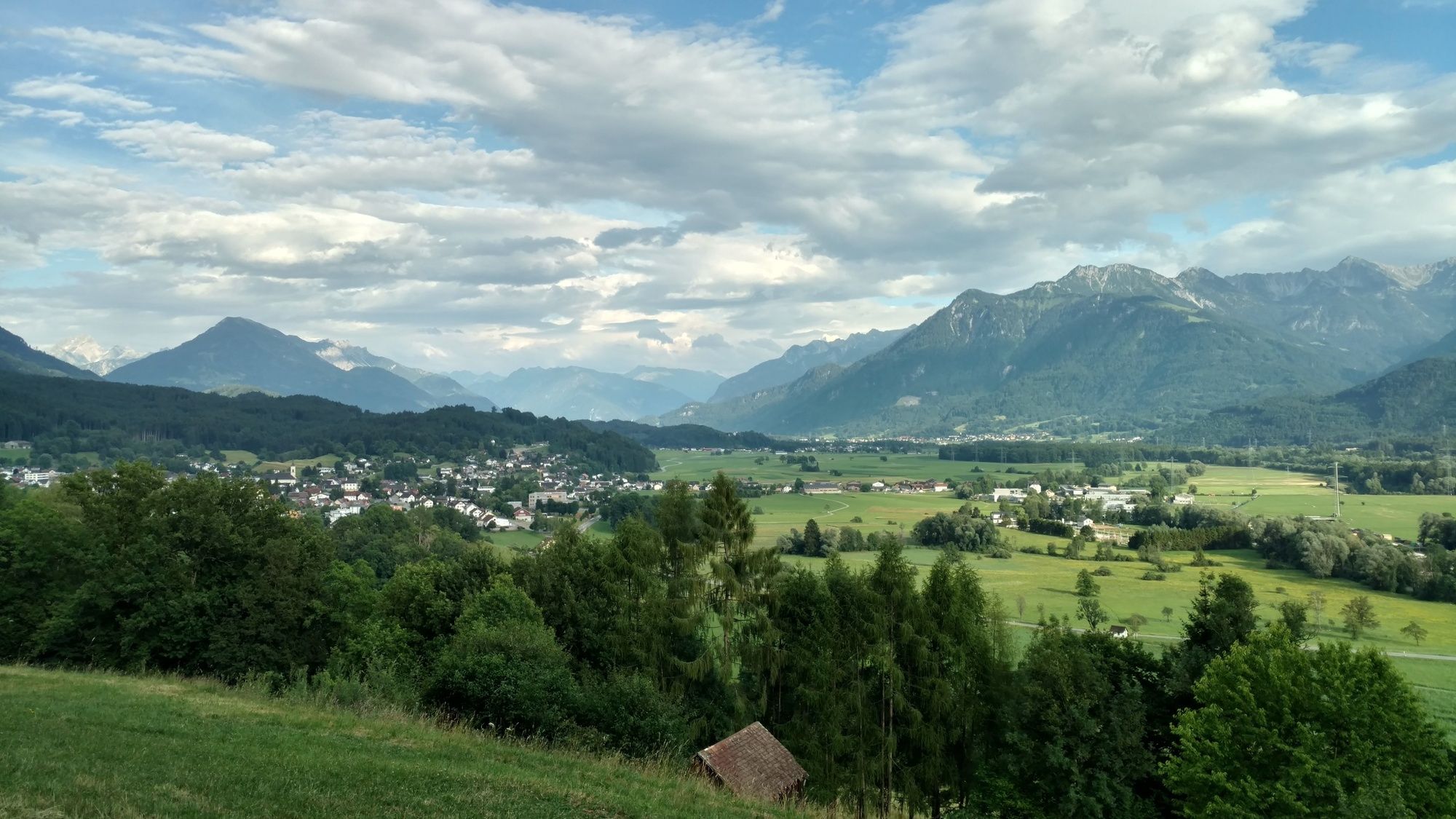
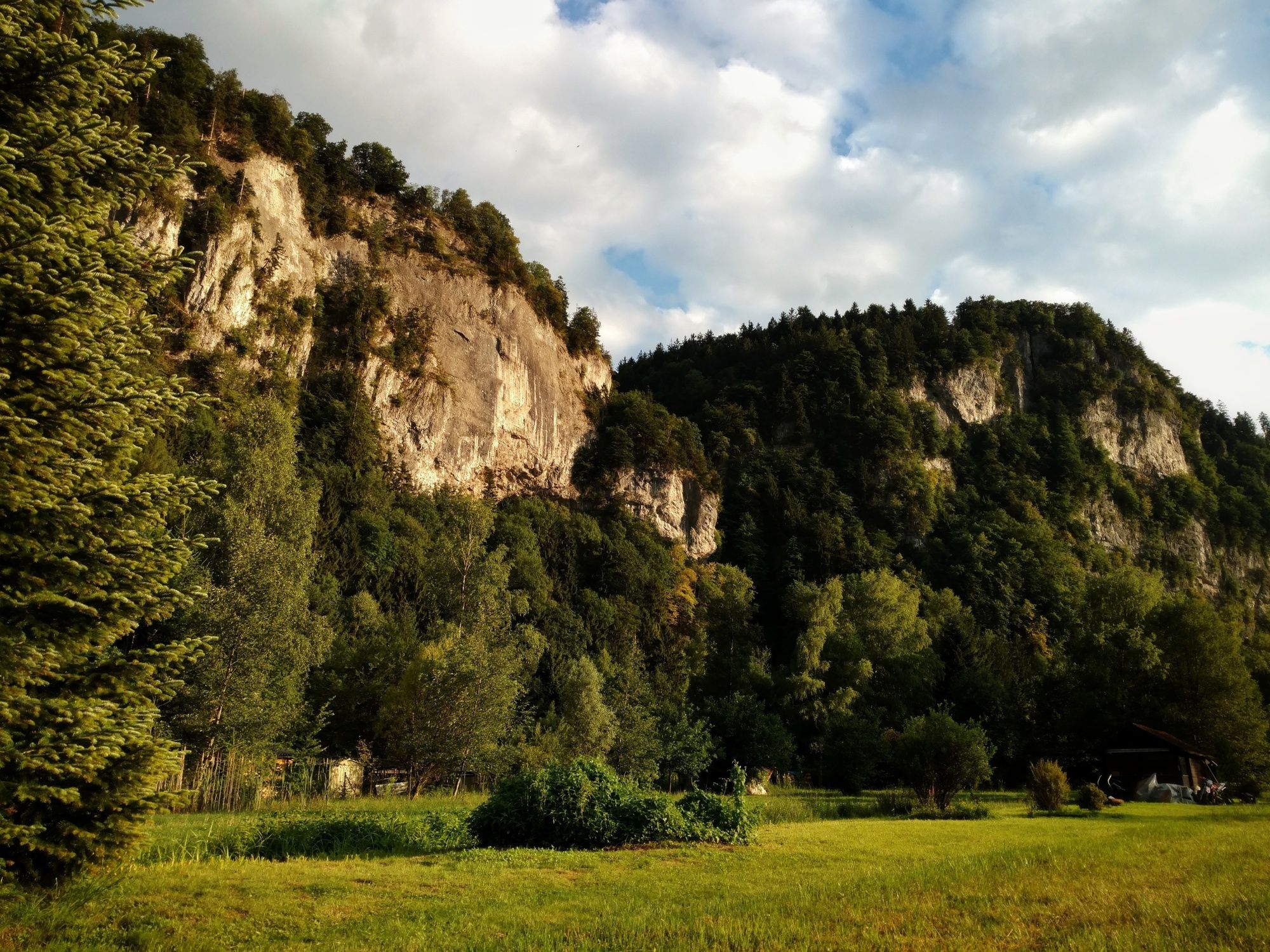
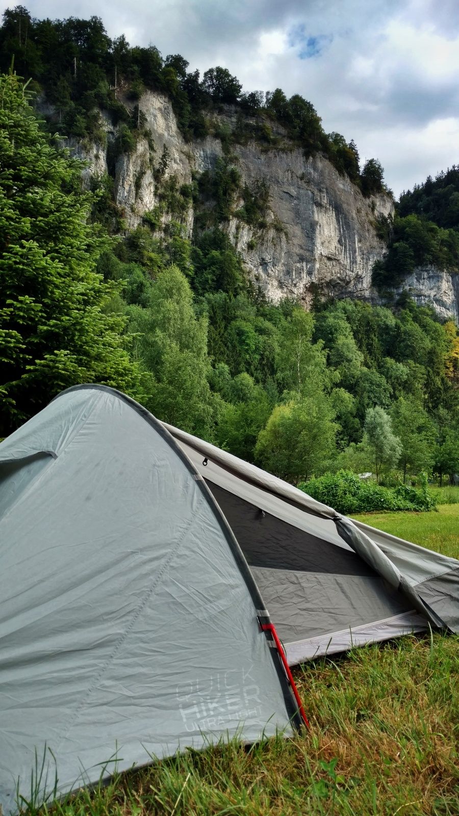
Hiking from Amsterdam to the Balkans. This is the the second day in Austria where I hike towards the Via Alpina Red Trail.
- Moeilijkheid
-
gemakkelijk
- Waardering
-
- Route
-
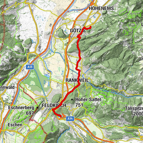
Kobel Kapelle1,6 kmGötzis (448 m)3,5 kmKapelle St. Loy4,6 kmGasthaus Schützen5,2 kmWallfahrtskirche St. Arbogast5,2 kmSankt Arbogast5,2 kmKlauser Wald6,2 kmFranzosenkapelle7,0 kmKlaus7,4 kmPizzeria Trattoria Romana7,6 kmWeiler7,7 kmSulz10,2 kmPestkapelle11,9 kmRankweil12,9 kmEngerliloch14,8 kmLagerstampfer15,8 kmLevis17,3 kmElendbildkapelle18,9 kmFeldkirch19,0 kmSt. Peter und Paul19,2 kmAlte evangelische Kirche19,3 kmFeldkirch19,6 kmJohanniterkirche20,4 kmStein21,9 kmGasthaus Stein23,4 km
- Beste seizoen
-
janfebmrtaprmeijunjulaugsepoktnovdec
- Maximale hoogte
- 521 m
- Hoogteprofiel
-

-

-
AuteurDe rondleiding Towards the Alps: Altach - Feldkirch (day 77) wordt gebruikt door outdooractive.com op.
GPS Downloads


Algemene info
Verfrissingsstop
Meer rondleidingen in de regio's
-
St. Gallen - Bodensee
2070
-
St. Galler Rheintal
1332
-
Rankweil
322