© Warth-Schröcken Tourismus - Sebastian Stiphout

© Warth-Schröcken Tourismus - Sebastian Stiphout

- Korte beschrijving
-
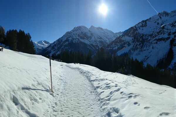
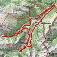
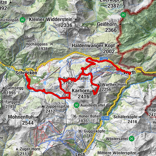
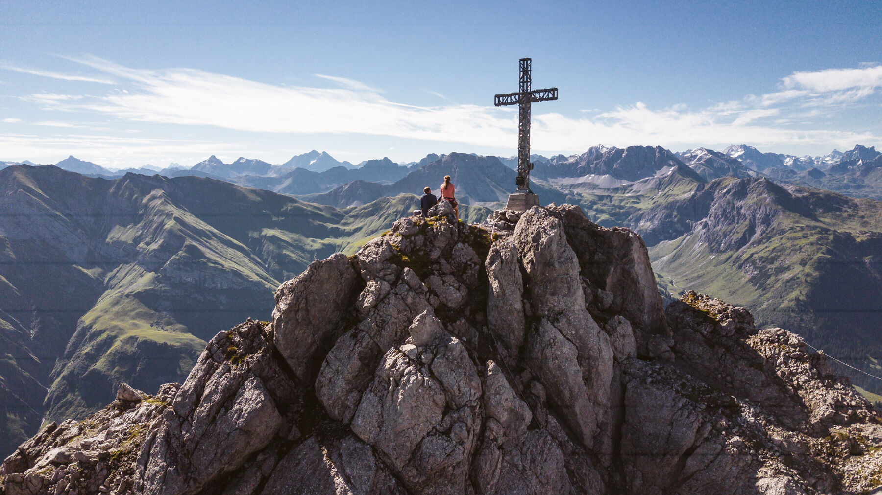
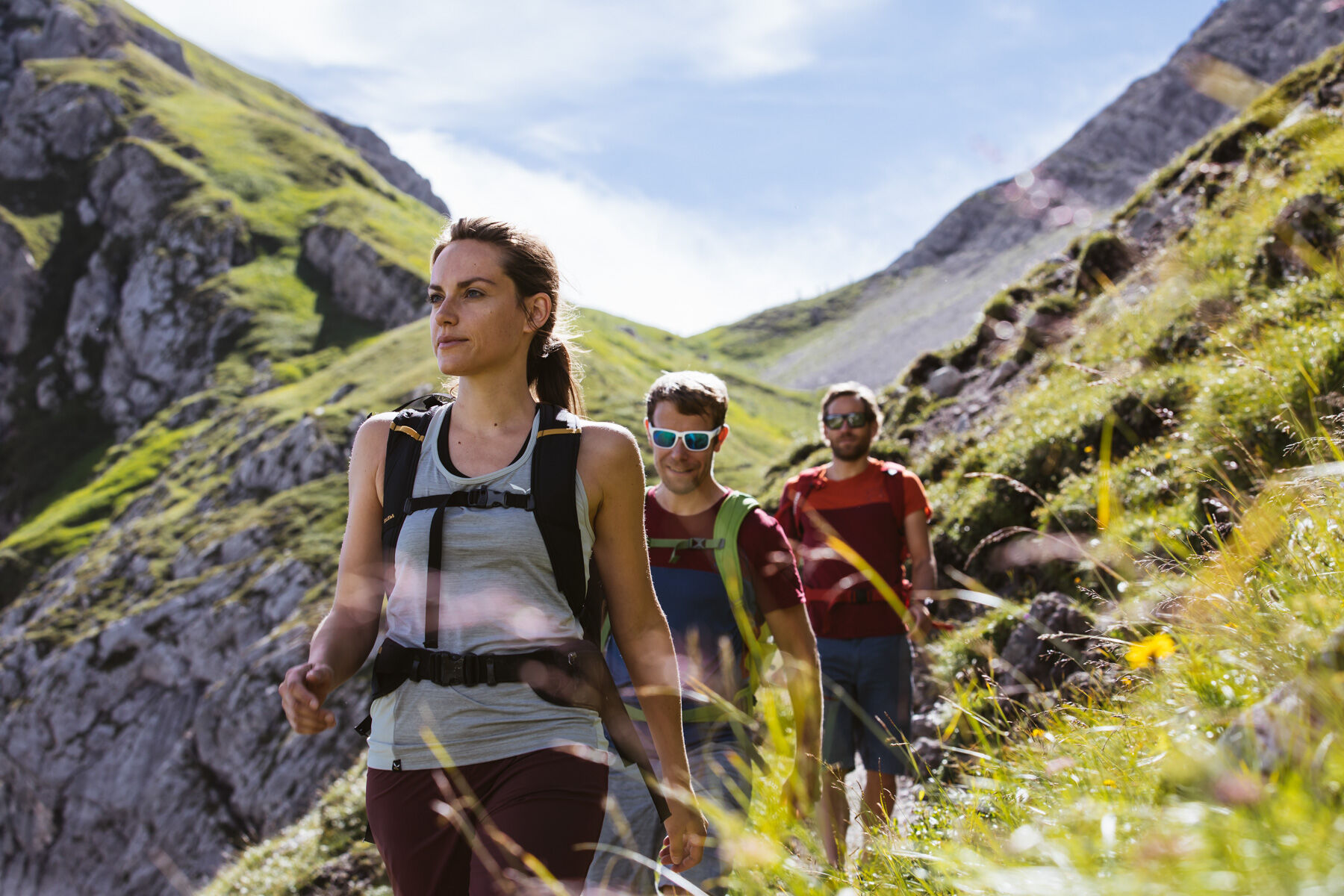
In Warth at the village square you start in the direction to the plot Wolfegg, from where you get on the way steeply up to the junction Alte Salzstraße. Via the Alte Salzstraße, a somewhat narrow path, you reach the Jägeralpe. Now you should regain all your strength again, because from here it goes steadily upwards to the Hochalphütte. Just take a short break in the Hochalphütte, before you hike up towards the Wartherhornsattel. Then take the path towards Lech at the saddle, until after approx. 30 minutes the ascent path to the Karhorn summit comes. From here it is not far and you can already see the massive summit cross in front of you. Return along the same route to the Hochalphütte. From here, follow the path up to Saloberkopf. Here you can enjoy the beautiful view and take a deep breath. Now it goes steadily downhill over the Salobersattel into the Auenfeld and further into the village of Schröcken.
The tour can of course also be started in Schröcken.
- Moeilijkheid
-
zwaar
- Waardering
-
- Route
-
Warth (1.495 m)0,0 kmPfarrkirche St. Sebastian0,3 kmKitzeliftle0,6 kmWolfegg1,4 kmHolzbodenalpe2,8 kmJägeralpe3,6 kmSennkuchl3,6 kmHochkrumbach3,8 kmHochalpbahn6,0 kmKarhorn (2.416 m)9,2 kmJägeralp-Express10,8 kmHochalphütte12,2 kmSaloberkopf13,0 kmHochalpbahn13,1 kmSalober-Jet13,1 kmSonnencruiser13,6 kmSalober-Sattel (1.792 m)14,7 kmAuenfelder Hütte15,7 kmObere Auenfeld Alpe (1.732 m)16,2 kmUntere Auenfeldalpe17,0 kmMaterialseilbahn Körbersee22,1 kmSchröcken (1.269 m)22,3 kmTannberg22,3 km
- Beste seizoen
-
janfebmrtaprmeijunjulaugsepoktnovdec
- Maximale hoogte
- 2.376 m
- Bestemming
-
Village square Warth/Village square Schröcken
- Hoogteprofiel
-

-

-
AuteurDe rondleiding Bike & Hike Karhorn (2.416 m) wordt gebruikt door outdooractive.com op.
GPS Downloads


Algemene info
Verfrissingsstop
Tip voor insiders
Veelbelovend
Meer rondleidingen in de regio's