© Mellau Tourismus - Alex Kaiser

© Bregenzerwald Tourismus - Alex Kaiser

© Bregenzerwald Tourismus GmbH - Nadine Lerho

© Bregenzerwald Tourismus - Nadine Lerho

© Bregenzerwald Tourismus - Christoph Lingg

© Bregenzerwald Tourismus - Elisabeth Schneider

- Korte beschrijving
-
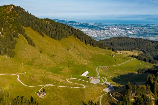
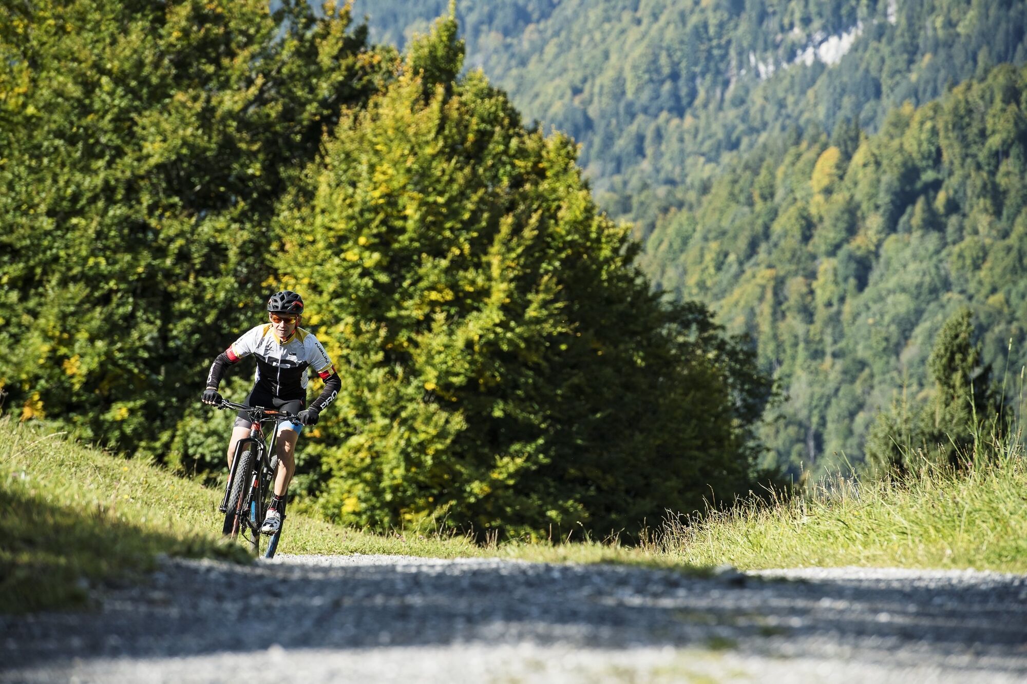
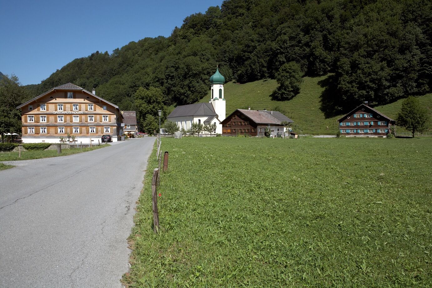
A wonderful circular tour through the villages of Schnepfau, Bezau, Mellau and Hirschau. A tour for beginners, with an elevation gain of 465 metres.
- Moeilijkheid
-
gemakkelijk
- Waardering
-
- Route
-
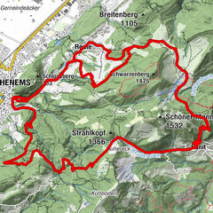
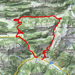
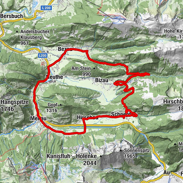
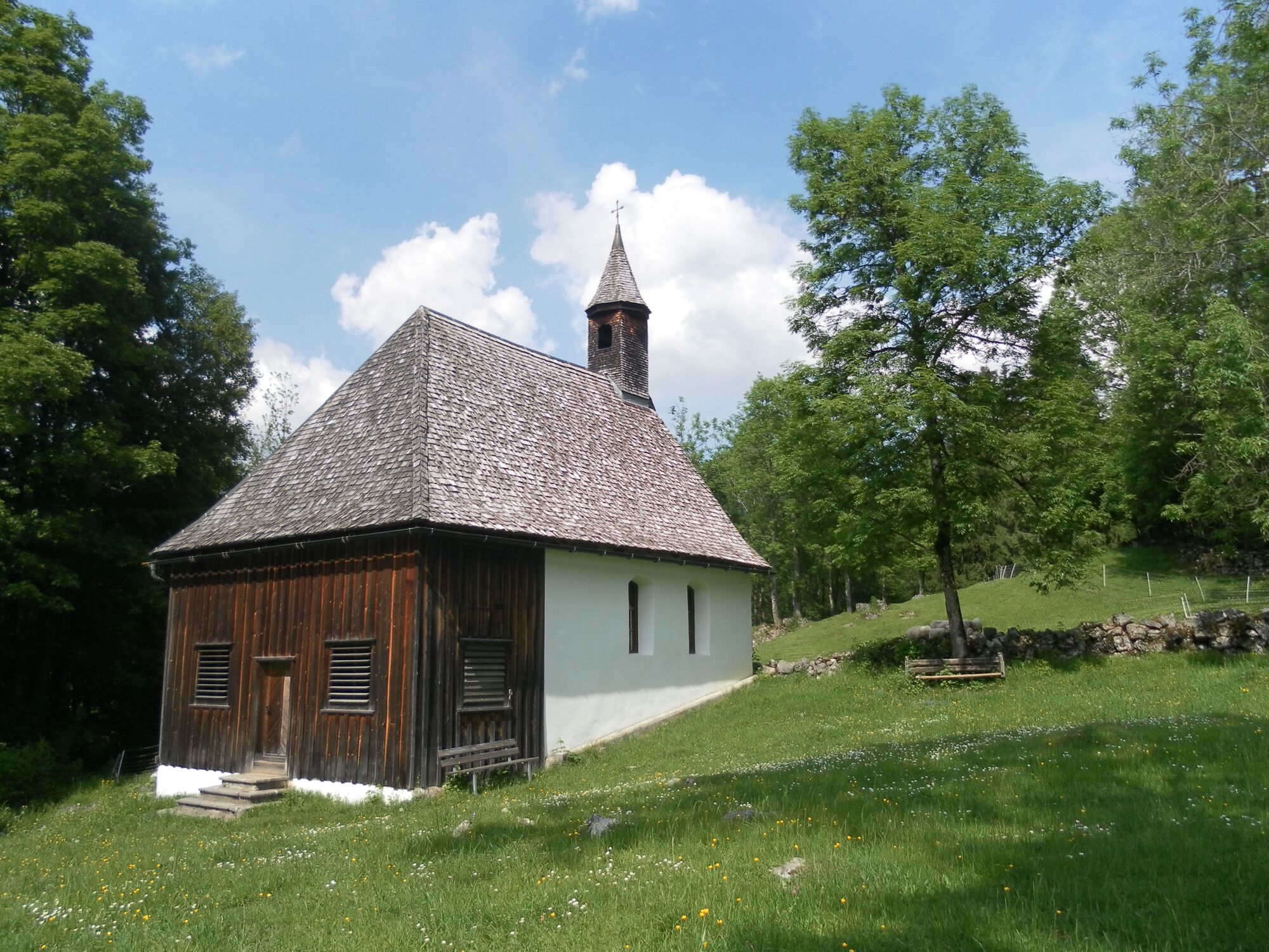
SchnepfauPfarrkirche Schnepfau0,0 kmSchnepfegg1,9 kmBerghaus Kanisfluh1,9 kmHilkat5,8 kmRimsgrund10,3 kmSandriese12,0 kmObere12,3 kmGasthof Engel13,3 kmSt. Jodokkirche13,3 kmBezau13,5 kmGasthof Hirschen13,6 kmKlosterkirche Bezau13,6 kmDost Kebap14,1 kmKatrina14,1 kmEllenbogen14,6 kmReuthe15,4 kmKlaus16,8 kmIn der Mellen17,6 kmZimmerau18,0 kmÜbermellen18,3 kmRistorante Pizzeria Sandro18,4 kmPlatz18,5 kmPfarrkirche Mellau18,6 kmMellau18,6 kmMoos18,6 kmNaze's Hus18,7 kmTempel18,8 kmAchsiedlung19,0 kmHinterbündt19,1 kmTanna19,8 kmEnge21,1 kmLourdeskapelle22,4 kmKapelle Hl. Martin22,4 kmHirschau22,5 kmSchnepfau24,8 kmPfarrkirche Schnepfau24,8 km
- Beste seizoen
-
janfebmrtaprmeijunjulaugsepoktnovdec
- Maximale hoogte
- 894 m
- Bestemming
-
Schnepfau town hall
- Hoogteprofiel
-

- Auteur
-
De rondleiding Schnepfau | Around the Gopf wordt gebruikt door outdooractive.com op.
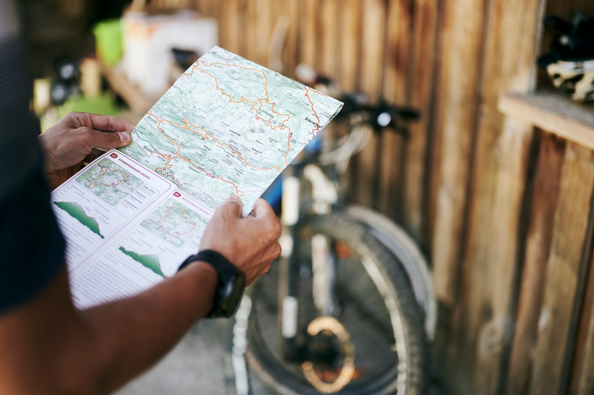
GPS Downloads


Algemene info
Verfrissingsstop
Veelbelovend
Meer rondleidingen in de regio's
-
St. Gallen - Bodensee
152
-
Bregenzerwald
224
-
Bizau
98