© Alpenregion Bludenz Tourismus GmbH - Frederick Sams

© Alpenregion Bludenz Tourismus GmbH - Frederick Sams

© Alpenregion Bludenz Tourismus GmbH - Frederick Sams

© Alpenregion Bludenz Tourismus GmbH - Frederick Sams

© Vorarlberg Tourismus GmbH
- Korte beschrijving
-
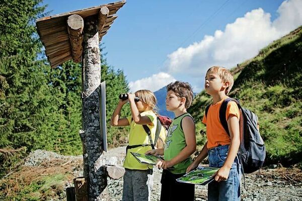
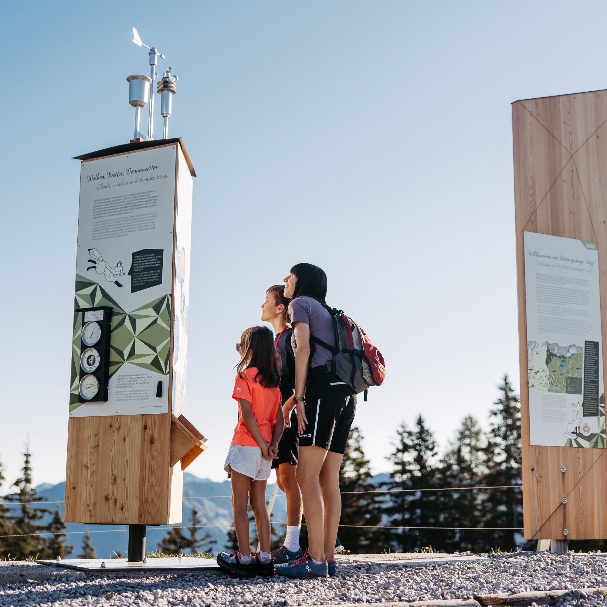
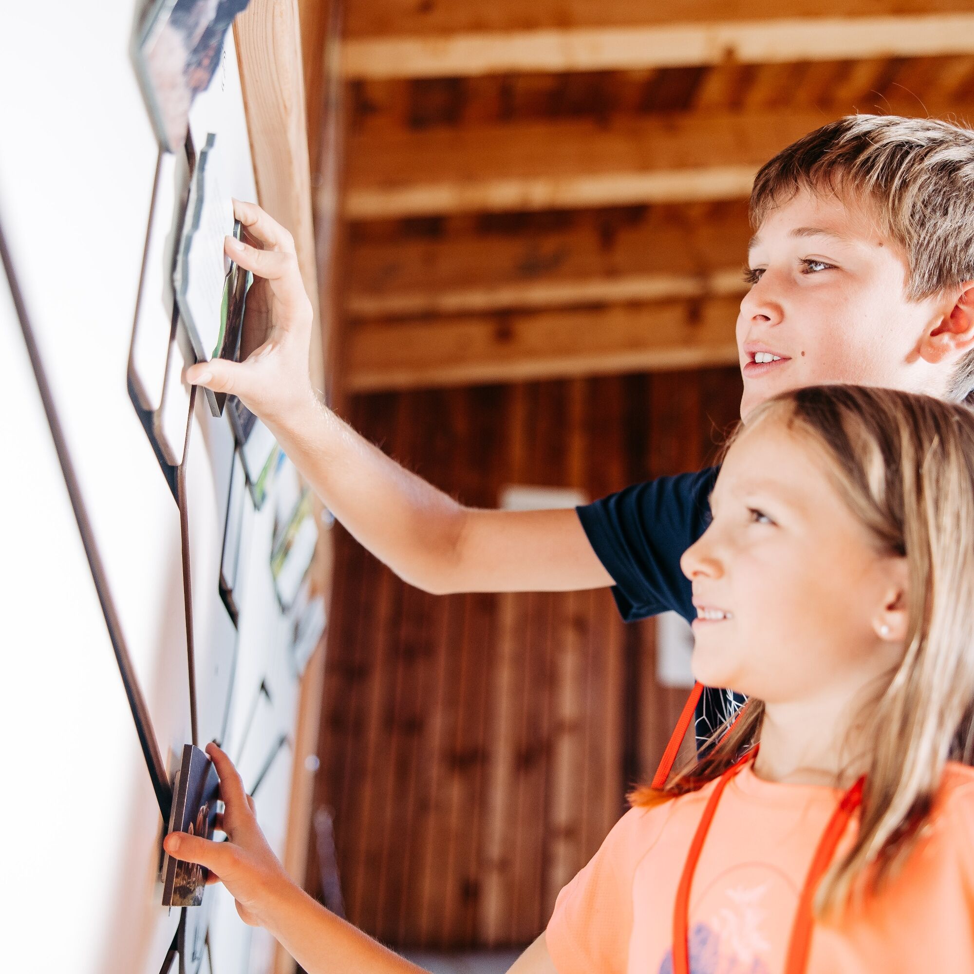
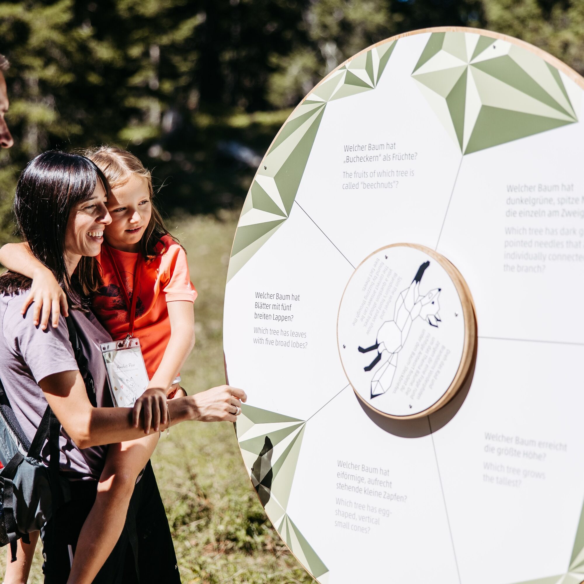
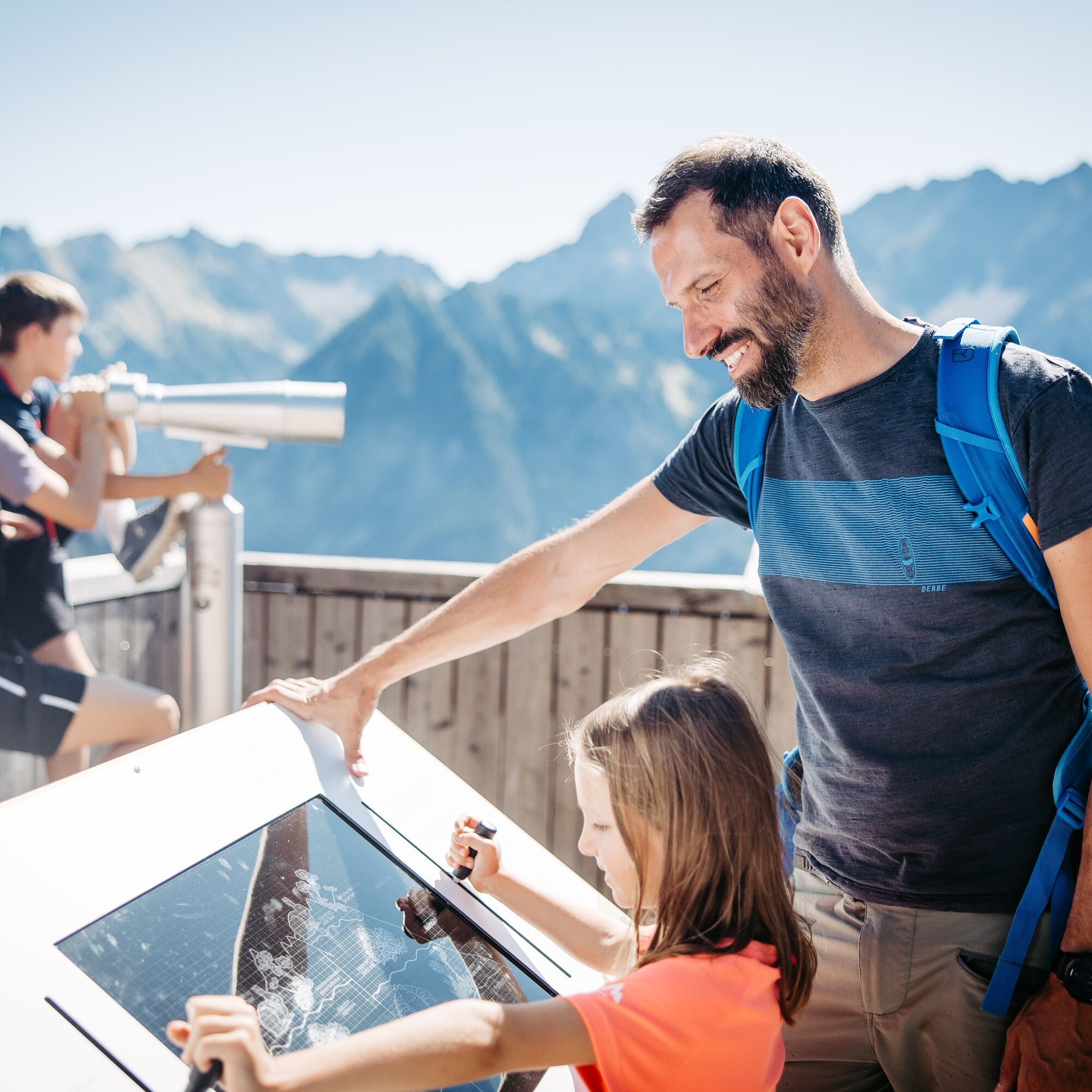
Learn about the nature of the Brandner Valley at eleven interactive stations along the Natursprünge-Weg! Fun and games for young and old are guaranteed along this trail in summer!
- Moeilijkheid
-
gemakkelijk
- Waardering
-
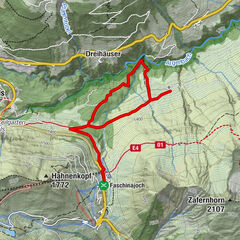
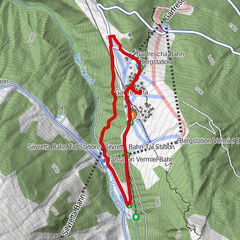
- Route
-
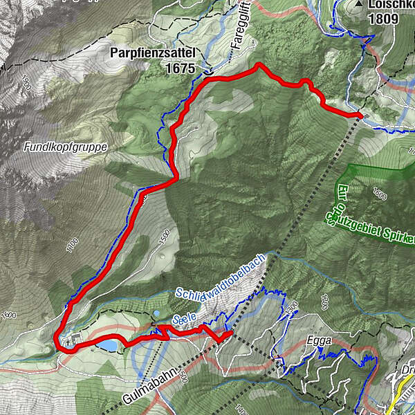
FröödParpfienzsattel (1.675 m)1,1 kmGulmabahn4,6 kmDorfbahn - Bergstation4,7 kmPanoramabahn4,7 km
- Beste seizoen
-
janfebmrtaprmeijunjulaugsepoktnovdec
- Maximale hoogte
- 1.673 m
- Bestemming
-
Panoramabahn mountain station or Dorfbahn mountain station, Brand.
- Hoogteprofiel
-


- Auteur
-
De rondleiding Natursprünge-Weg | Brandnertal wordt gebruikt door outdooractive.com op.
GPS Downloads


Algemene info
Verfrissingsstop
Veelbelovend
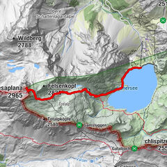
Meer rondleidingen in de regio's
-
Heidiland
2201
-
Brandnertal
1568
-
Brand
431