© Bregenzerwald Tourismus - Alex Kaiser

© Bregenzerwald Tourismus - Alex Kaiser

© Bregenzerwald Tourismus - Alex Kaiser

© Bregenzerwald Tourismus - Alex Kaiser

© Bregenzerwald Tourismus - Alex Kaiser

© Bregenzerwald Tourismus - Johannes Fink

© Hittisau Tourismus - Veronika Piazza

© Bregenzerwald Tourismus - Nadine Lerho

© Bregenzerwald Tourismus - Alex Kaiser

© Community - Elisabeth Sohm

- Korte beschrijving
-
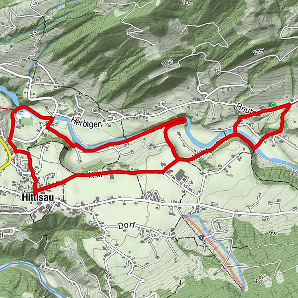
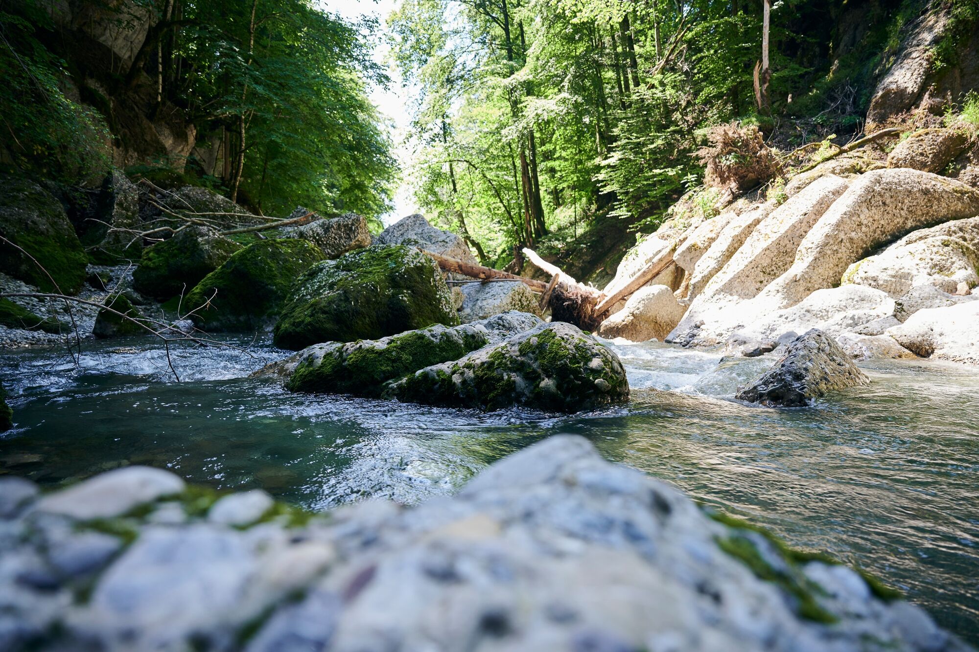
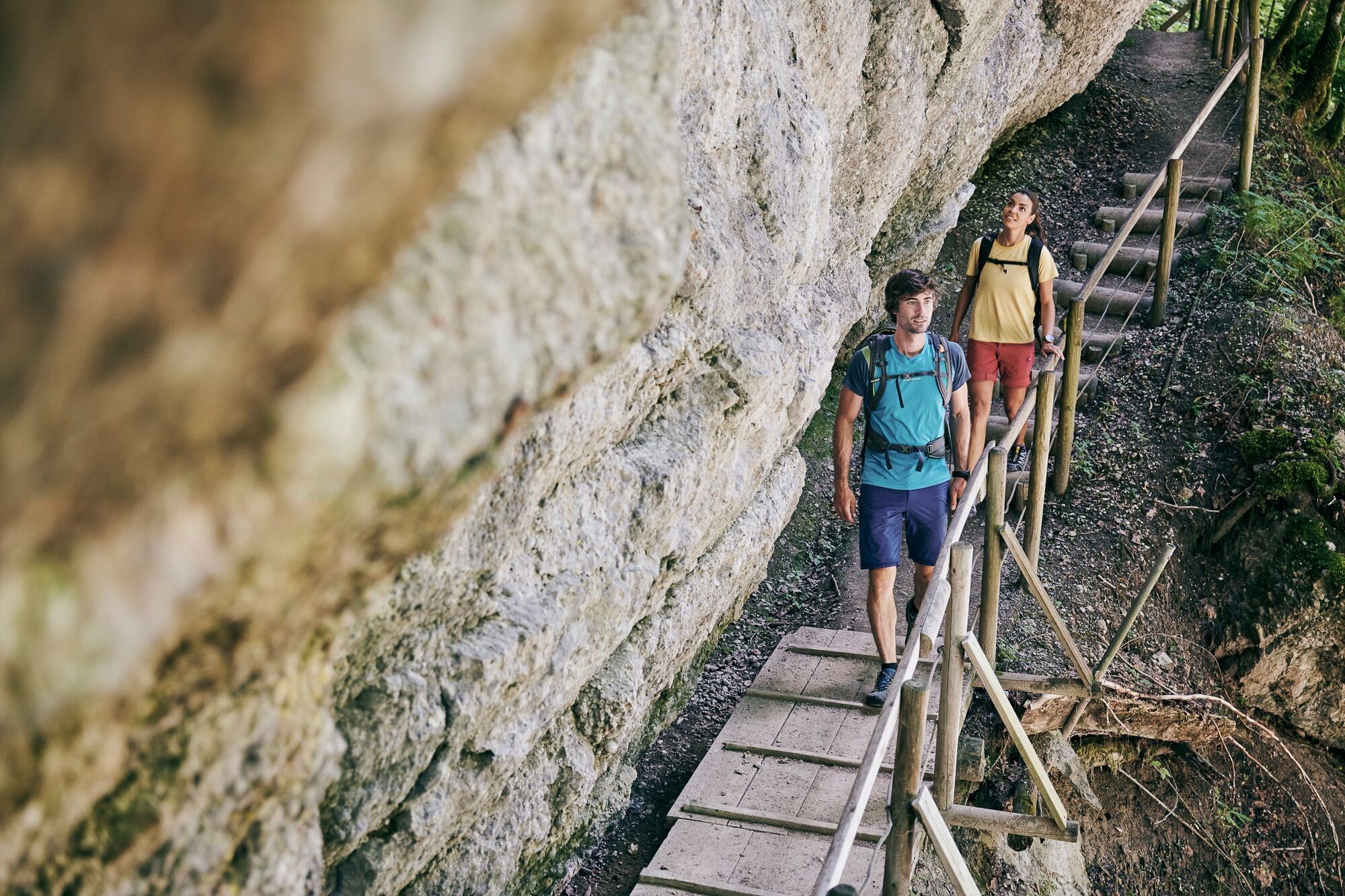
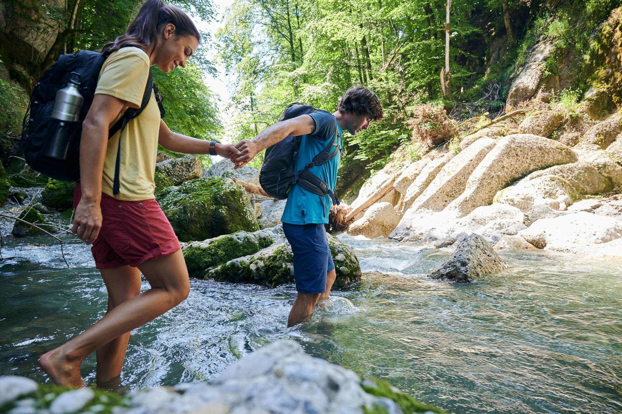
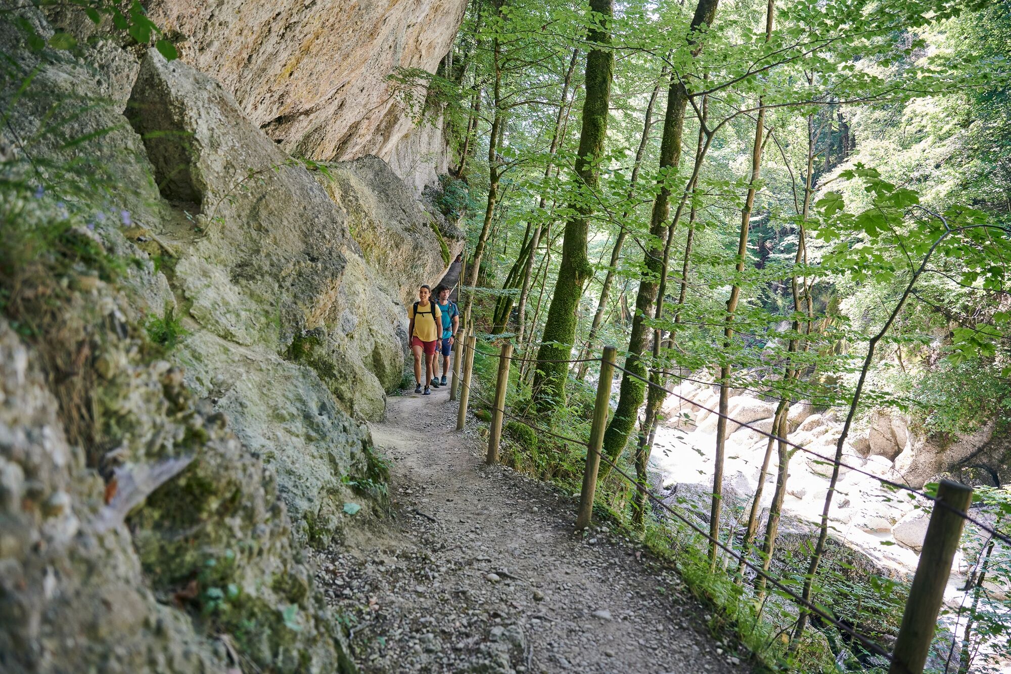
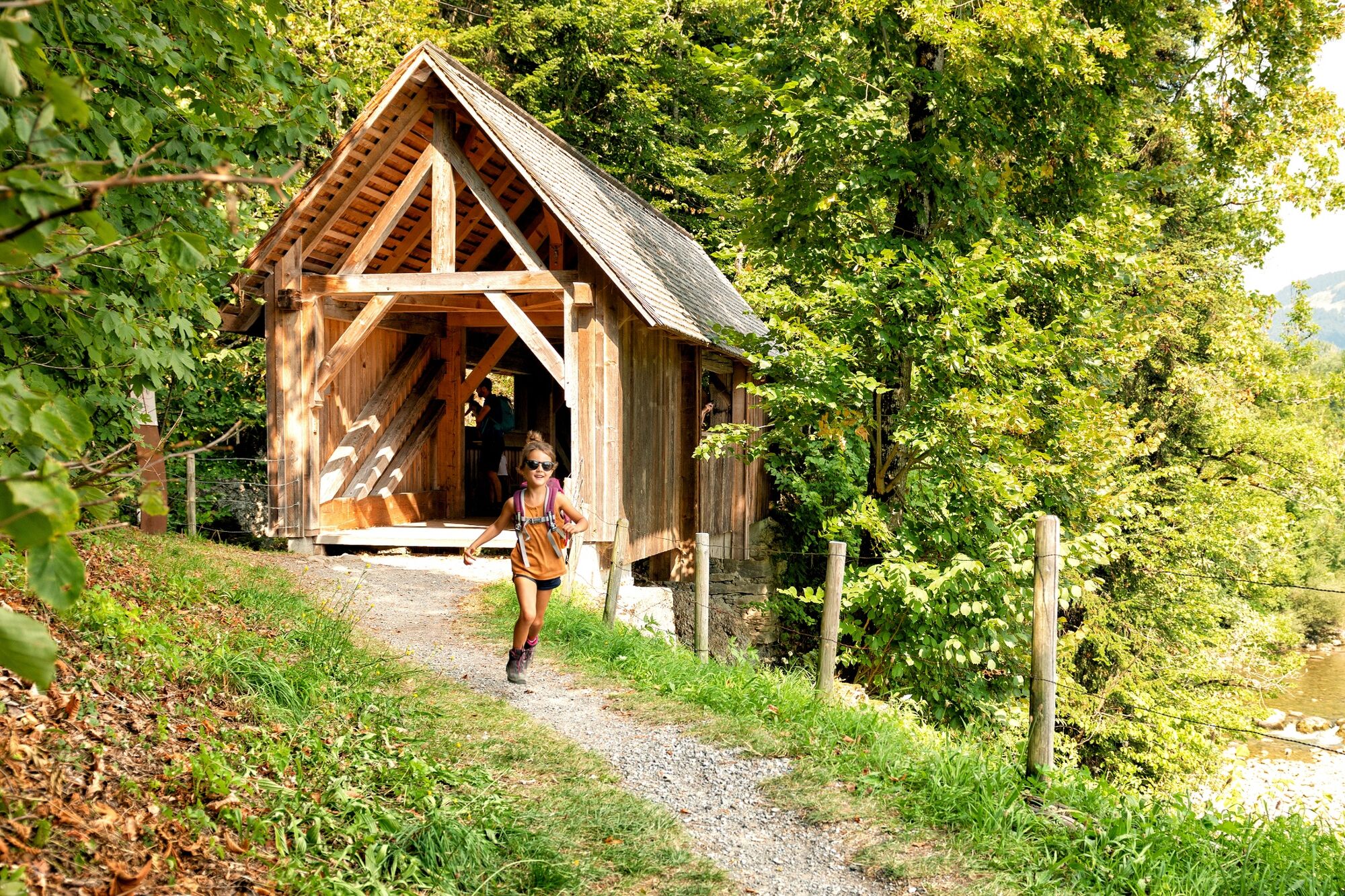
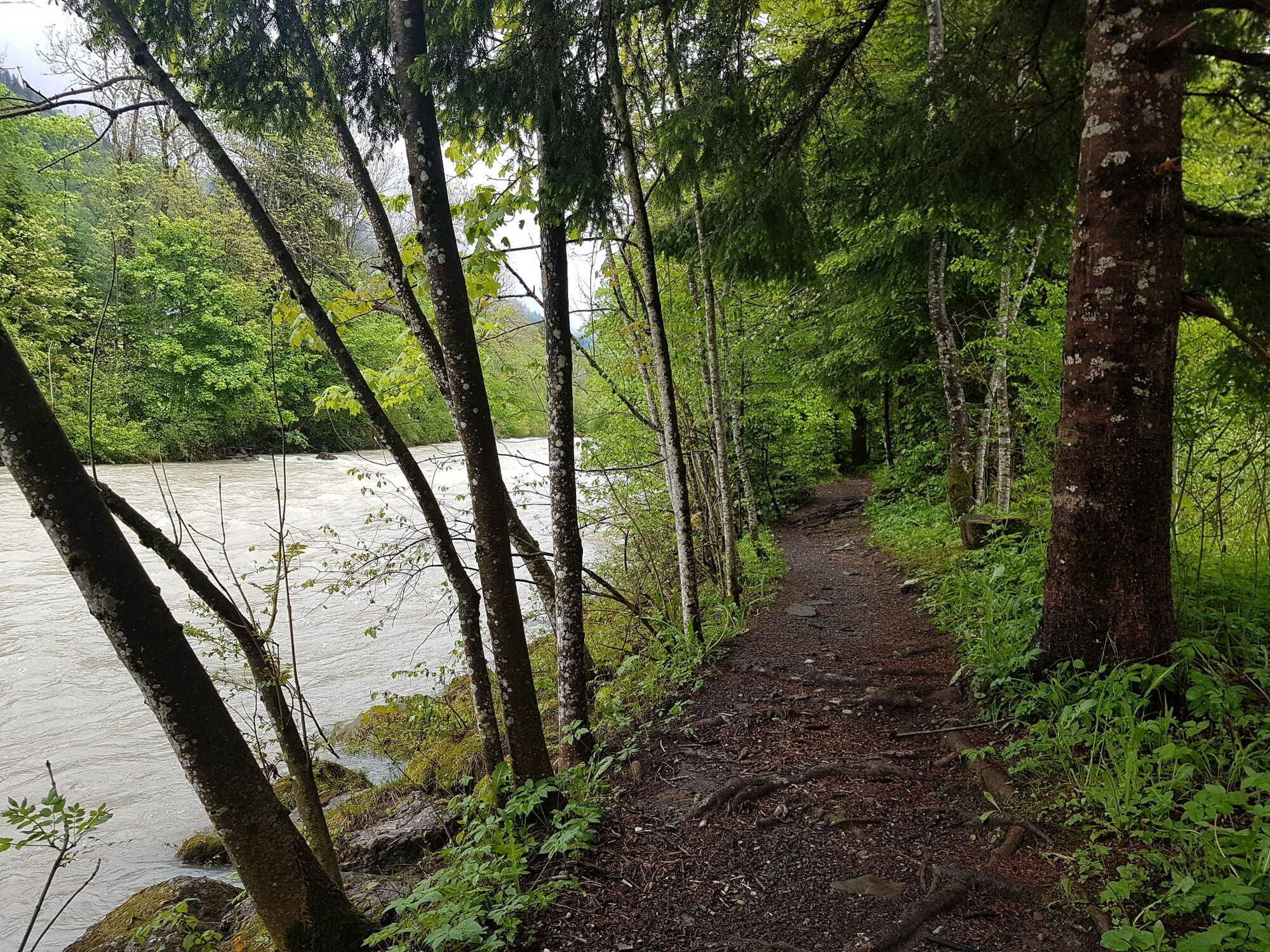
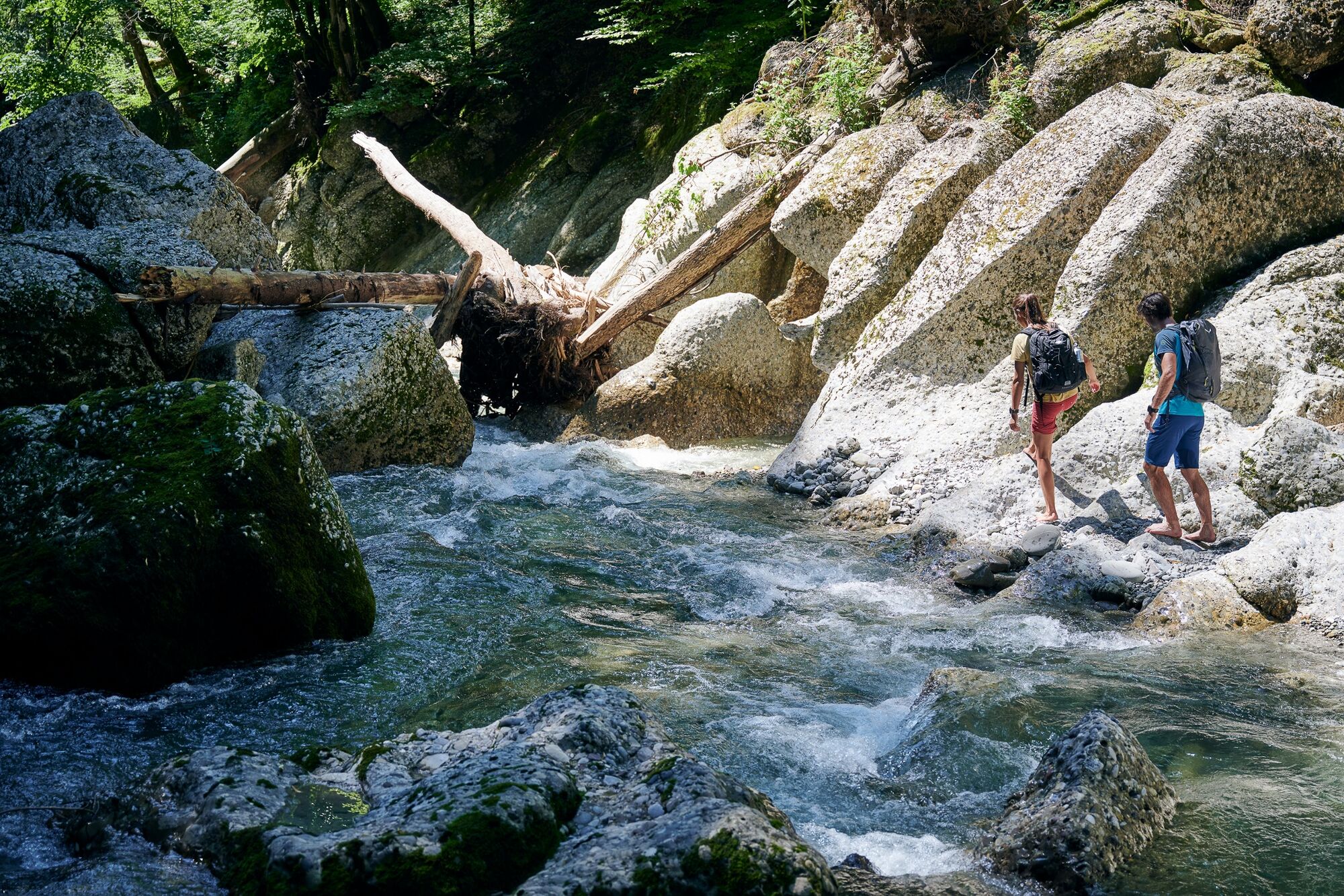
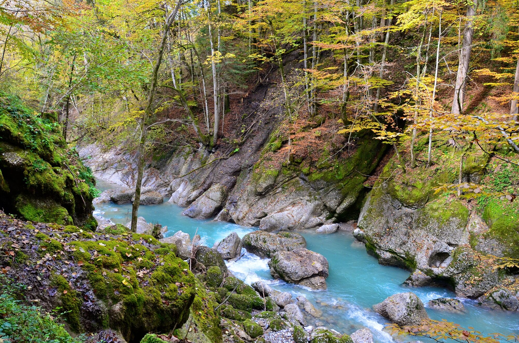
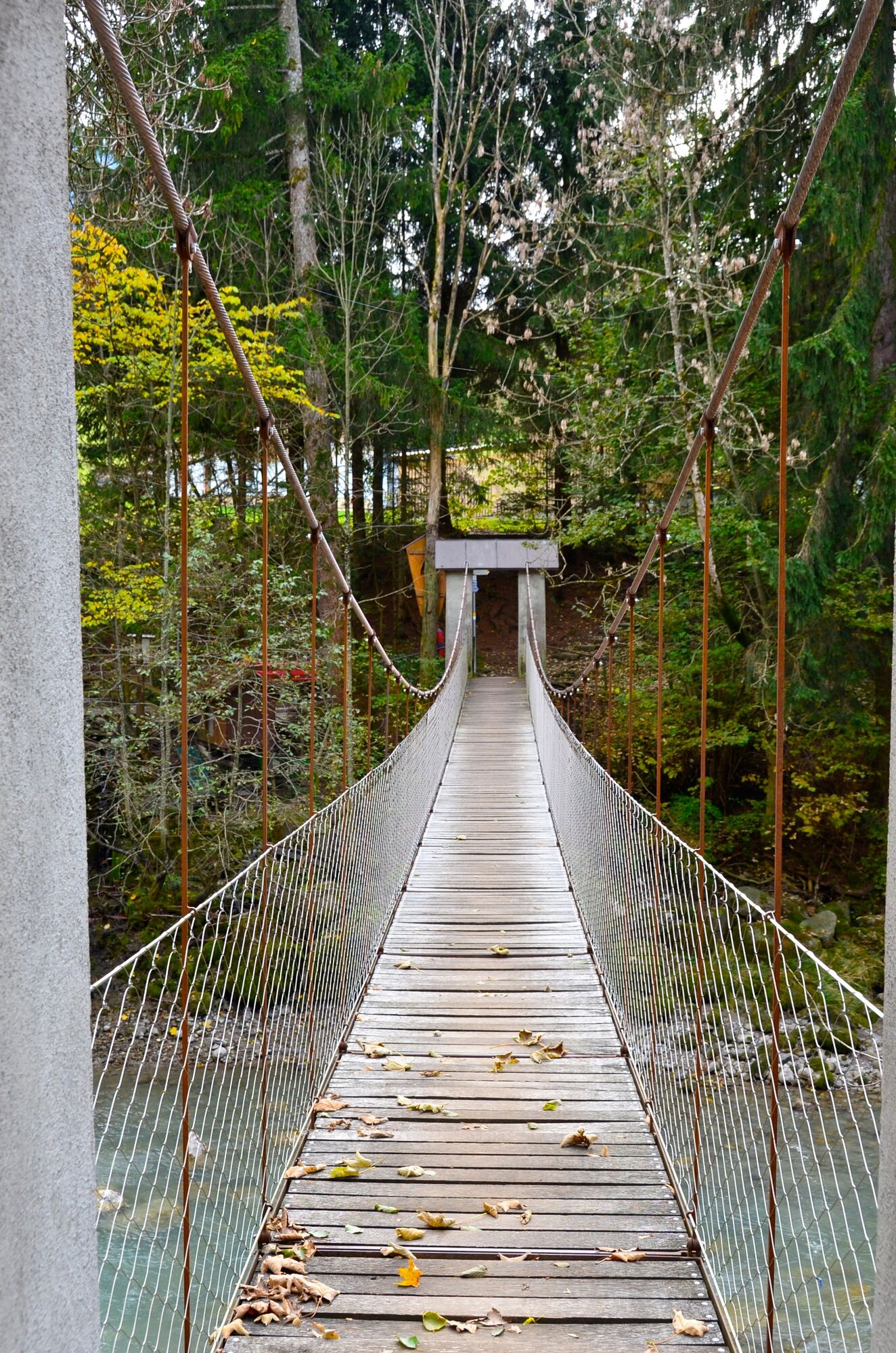
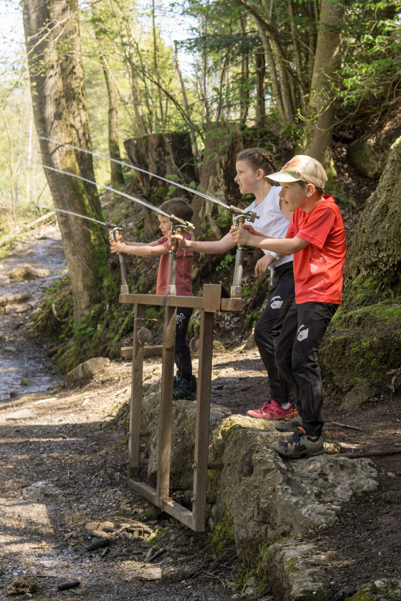
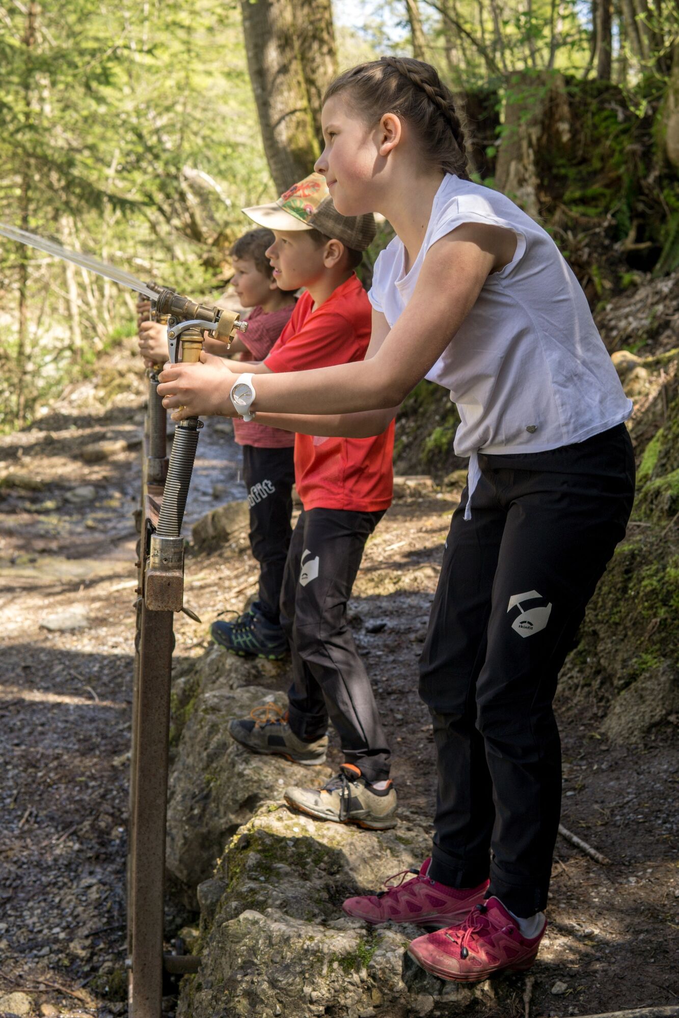
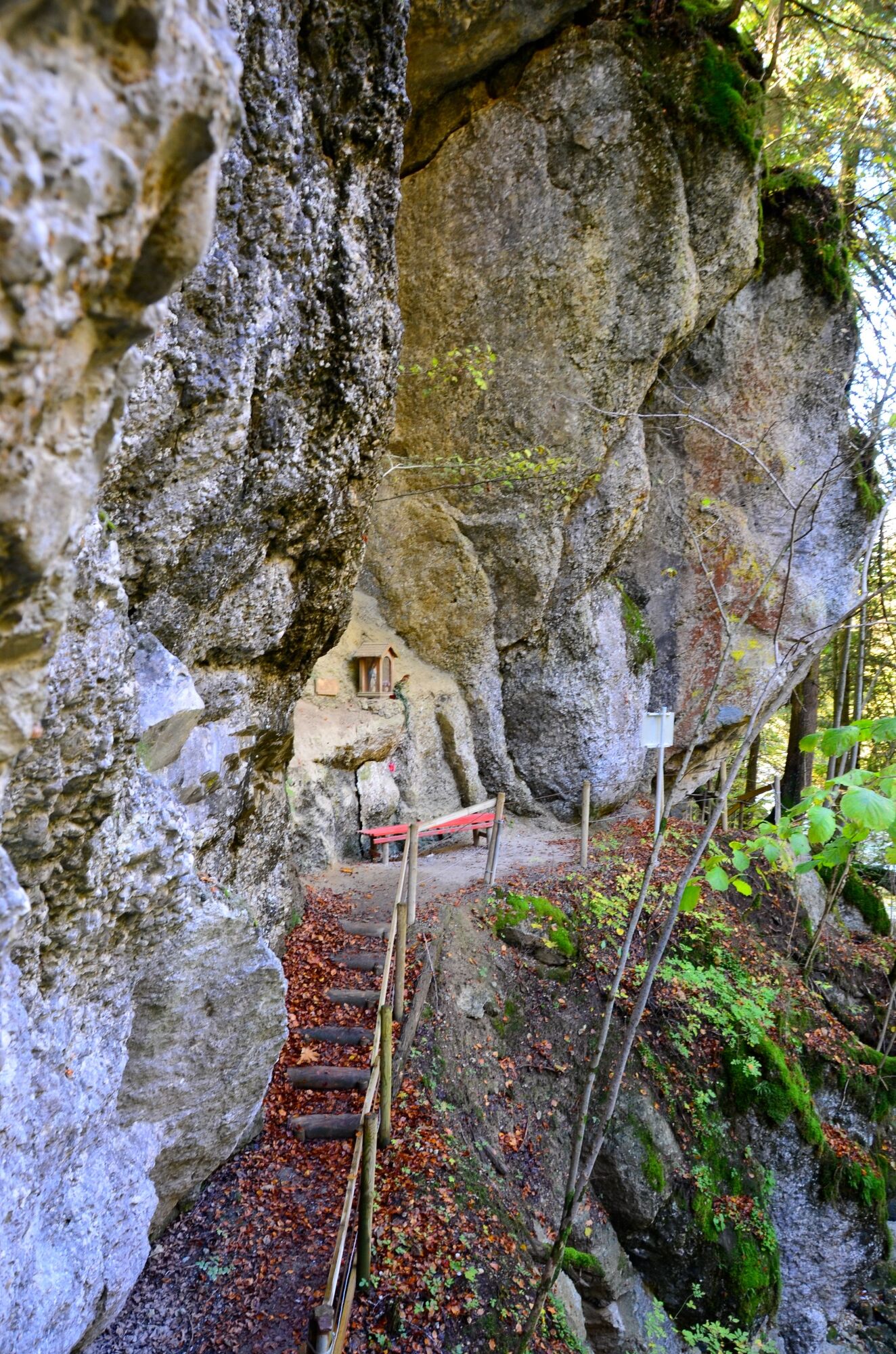
It’s pleasantly cool on this hiking trail. It leads for the most part along the water and through a light-flooded forest.
- Moeilijkheid
-
gemakkelijk
- Waardering
-
- Route
-
HittisauPfarrkirche Heilige Drei KönigeGasthof Hirschen0,0 kmGasthof Krone0,0 kmGasthof Goldener Adler0,1 kmAlpenrose4,2 kmSonne Gasthaus6,1 kmGasthof Goldener Adler6,7 kmGasthof Hirschen6,7 kmGasthof Krone6,8 kmHittisau6,8 kmPfarrkirche Heilige Drei Könige6,8 km
- Beste seizoen
-
janfebmrtaprmeijunjulaugsepoktnovdec
- Maximale hoogte
- 831 m
- Bestemming
-
Hittisau Dorfbrunnen
- Hoogteprofiel
-


- Auteur
-
De rondleiding Hittisau | water hiking trail wordt gebruikt door outdooractive.com op.
GPS Downloads


Algemene info
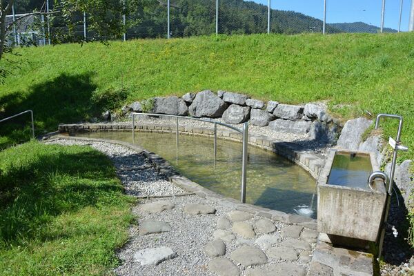
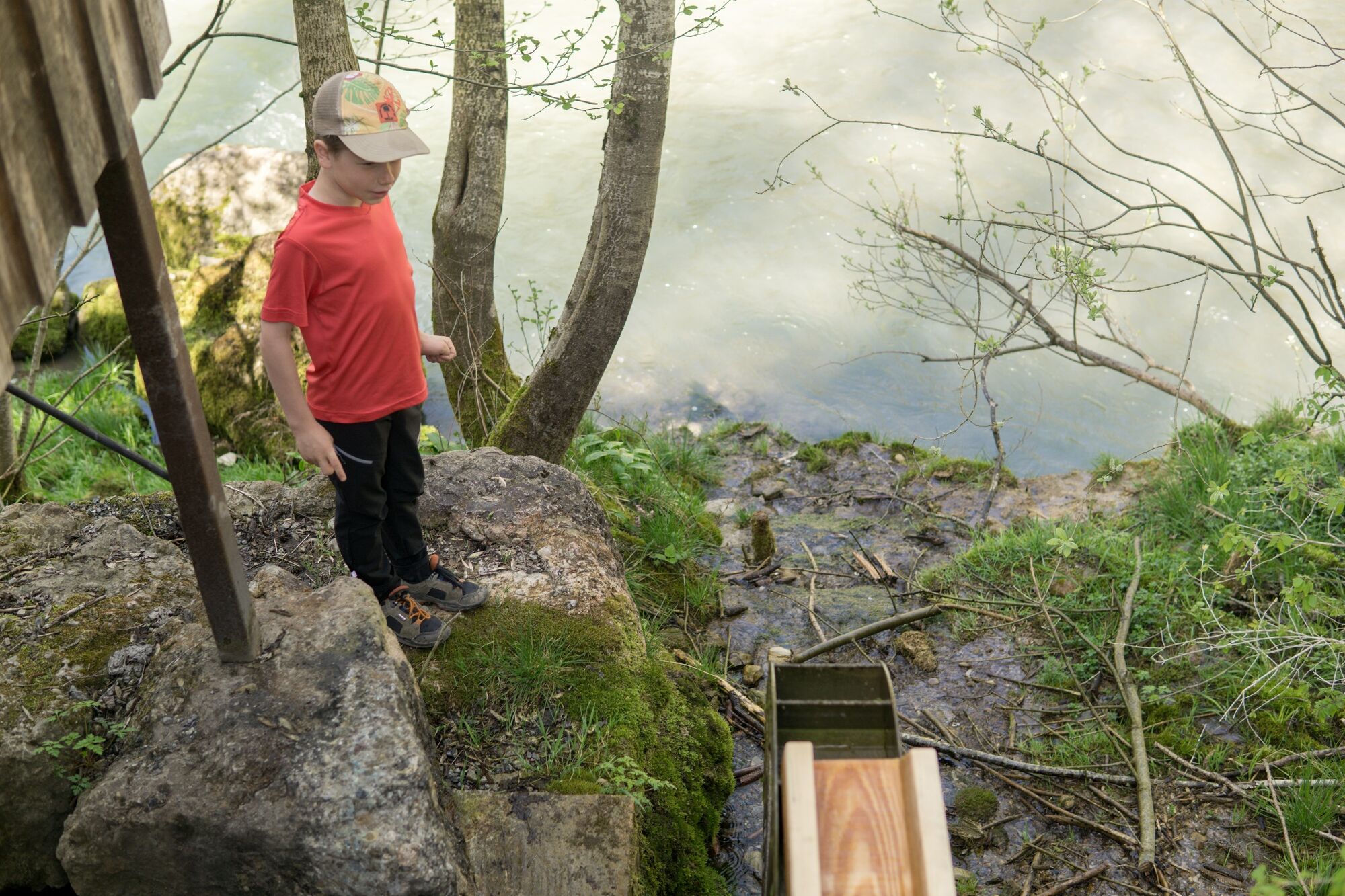
Verfrissingsstop
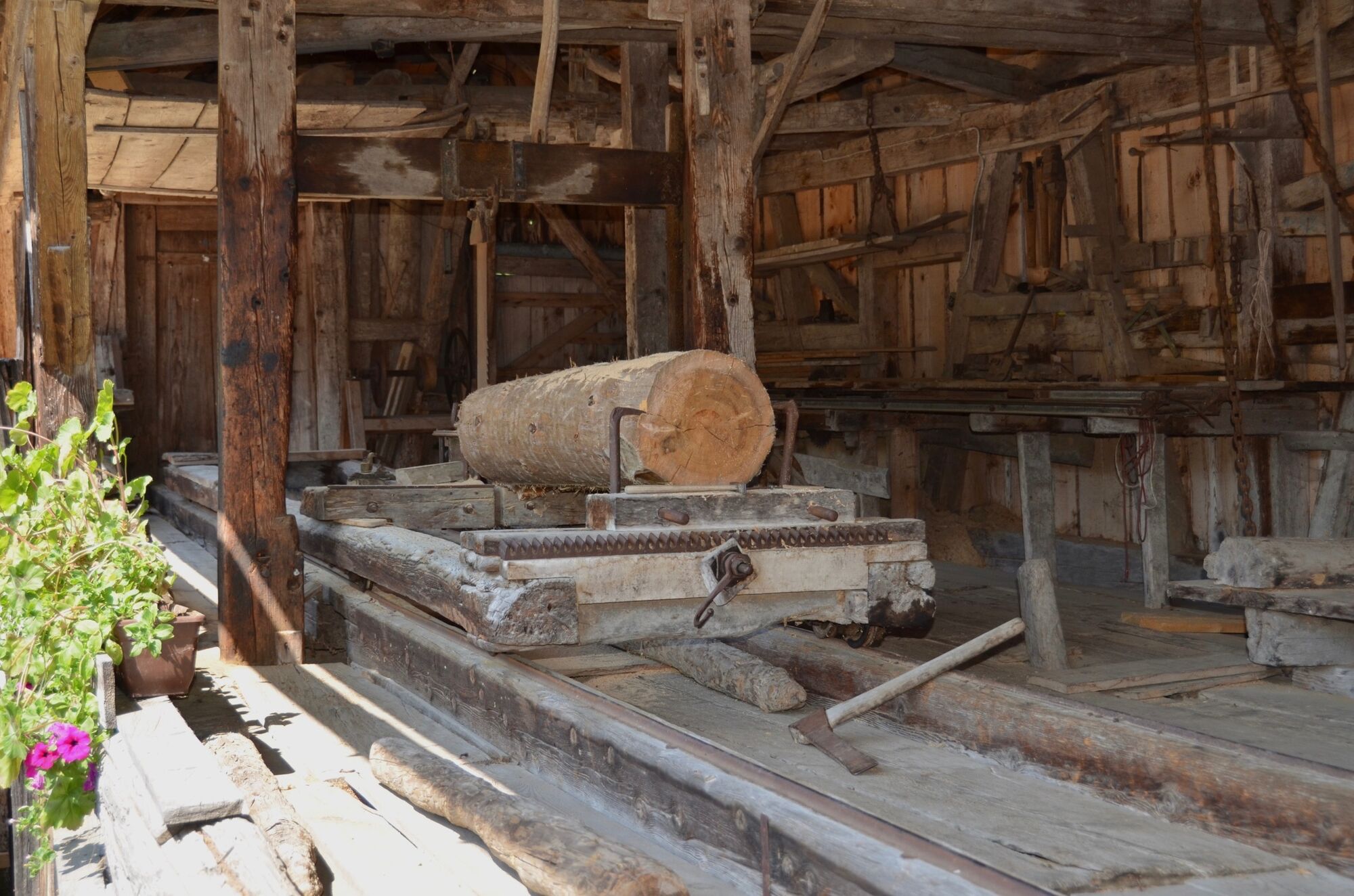
Cultureel/Historisch
Meer rondleidingen in de regio's
-
Allgäu
2362
-
Bregenzerwald
2296
-
Hittisau
703