© Alpenregion Bludenz Tourismus GmbH - Dajana Baumgartner

© Alpenregion Tourismus GmbH - Dajana Baumgartner

© Alpenregion Bludenz Tourismus GmbH - Dajana Baumgartner
- Korte beschrijving
-
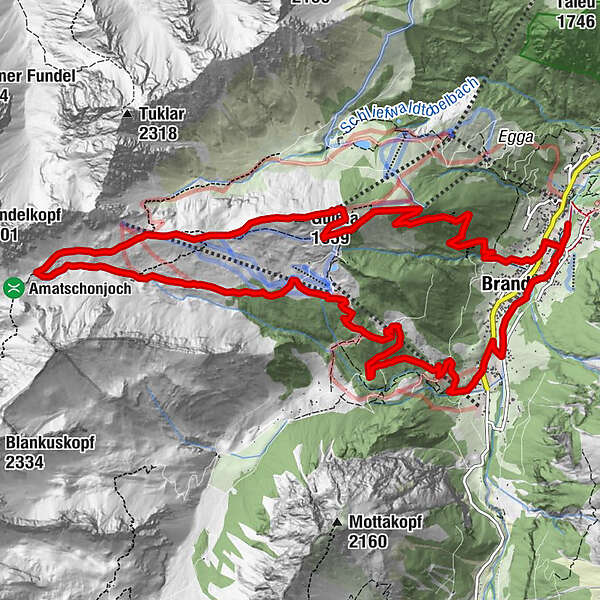
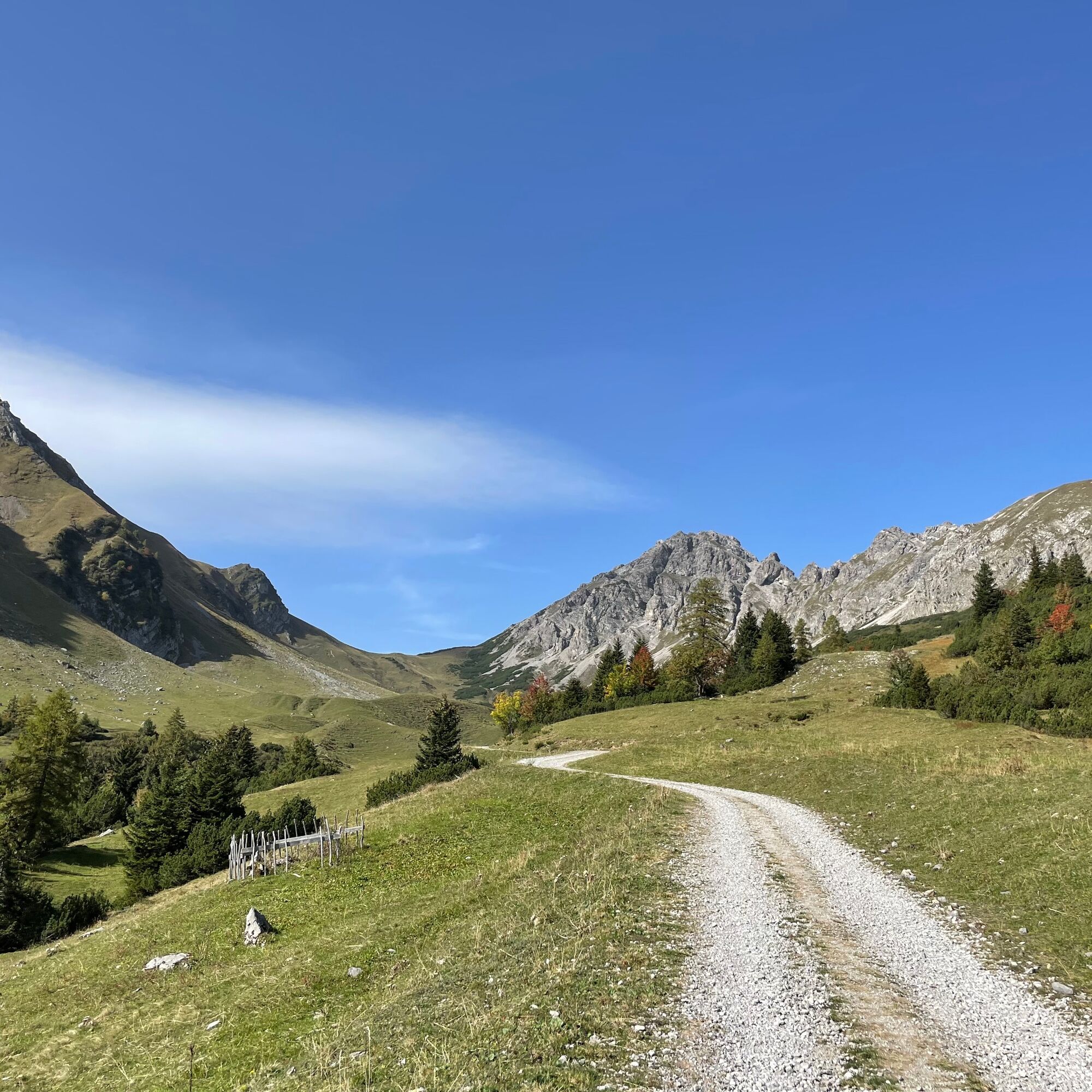
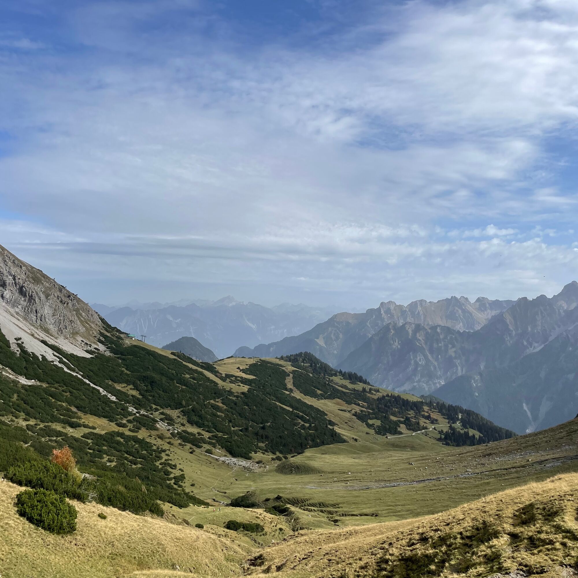
Ultra is the name of the game here: at 15 km in length and over 1,000 metres in altitude, this route is only for those with stamina.
- Moeilijkheid
-
zwaar
- Waardering
-
- Route
-
Brand0,7 kmNiggenkopfstüble3,1 kmGulmabahn4,5 kmGulma (1.859 m)4,8 kmAlpe Palüt Jausenstation8,3 kmBerghof Melkboden10,2 kmRestaurant Alpen Tenne13,9 kmBrand14,6 km
- Beste seizoen
-
janfebmrtaprmeijunjulaugsepoktnovdec
- Maximale hoogte
- 1.954 m
- Bestemming
-
Trailrun starting point at the Alvierbad
- Hoogteprofiel
-


- Auteur
-
De rondleiding Ultra-Brand | Brand wordt gebruikt door outdooractive.com op.
GPS Downloads
Meer rondleidingen in de regio's
-
Heidiland
104
-
Brandnertal
66
-
Brand
25