

© Warth-Schröcken Tourismus - Sebastian Stiphout

© Warth-Schröcken Tourismus - Sebastian Stiphout


- Korte beschrijving
-
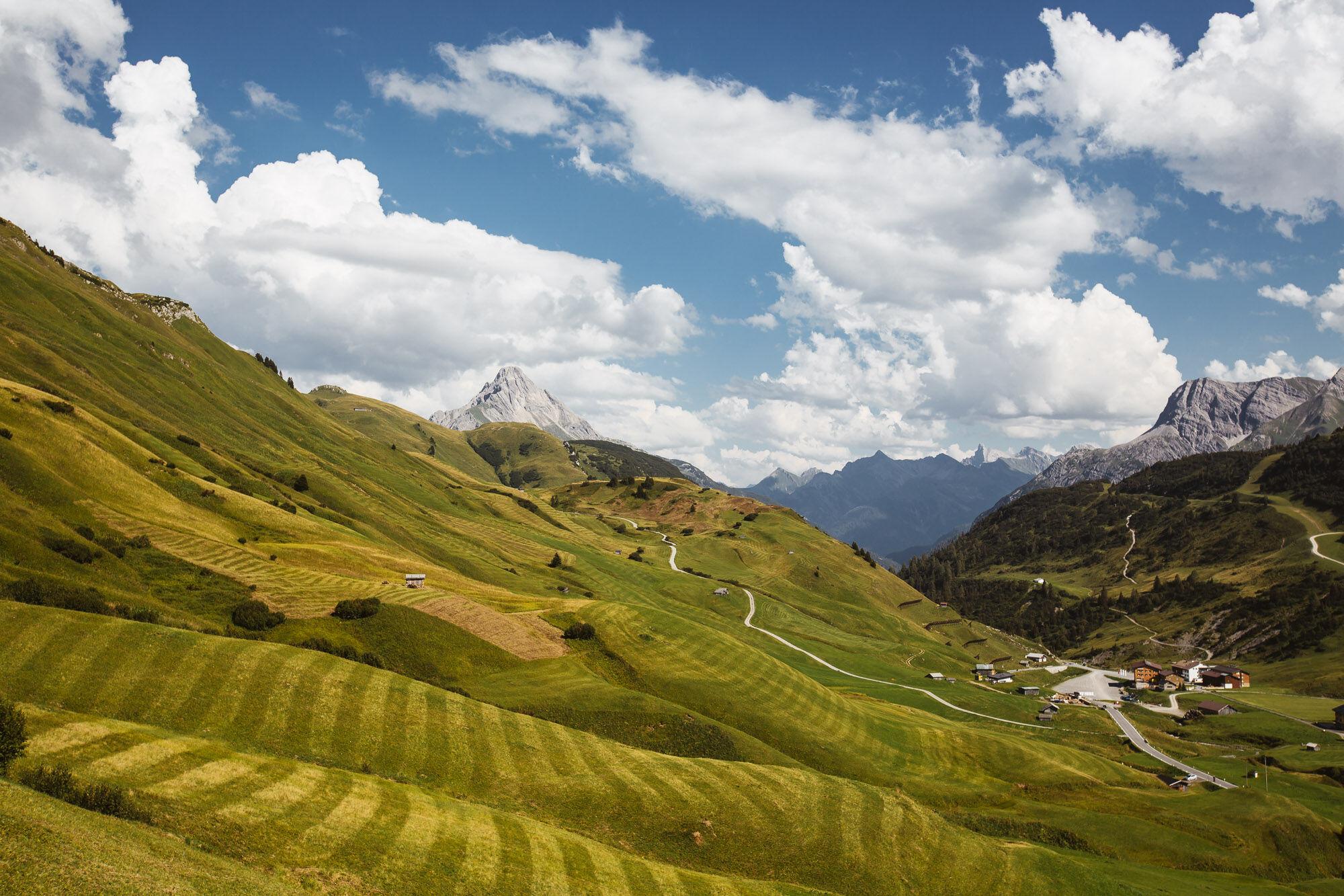
Hike over fairytale-like terrain over the Tschirggen towards Hirschgehrenalpe. You crossed the first stream? Now it goes left up the steep path until it becomes a little flatter again. Just take a short break here, before the path turns left again towards Koblathütte. Please note that the Koblathütte is not managed. Here again follow the left turnoff and a medium-difficult but panoramic hiking trail to the summit of the Geißhorn. The way back is the same.
- Moeilijkheid
-
zwaar
- Waardering
-
- Route
-
Koblat-Pass (2.041 m)4,2 kmGeißhorn (2.366 m)5,0 km
- Beste seizoen
-
janfebmrtaprmeijunjulaugsepoktnovdec
- Maximale hoogte
- 2.345 m
- Bestemming
-
Woodyard in Hochkrumbach/Tschirggen
- Hoogteprofiel
-


- Auteur
-
De rondleiding Geißhorn (2.366 m) wordt gebruikt door outdooractive.com op.
GPS Downloads


Algemene info
Fauna
Veelbelovend
Meer rondleidingen in de regio's
-
Kleinwalsertal
2055
-
Mittelberg
601


