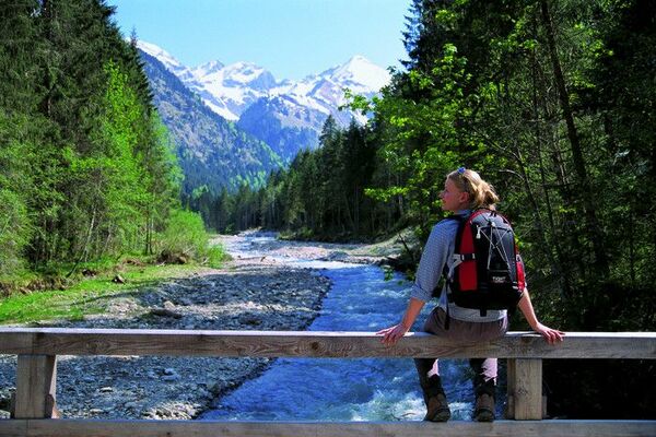

- Korte beschrijving
-
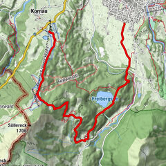
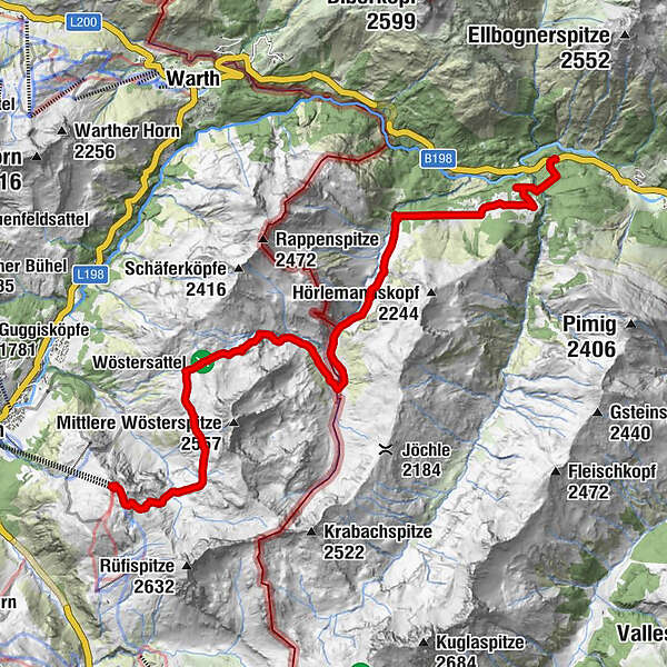
Etappen
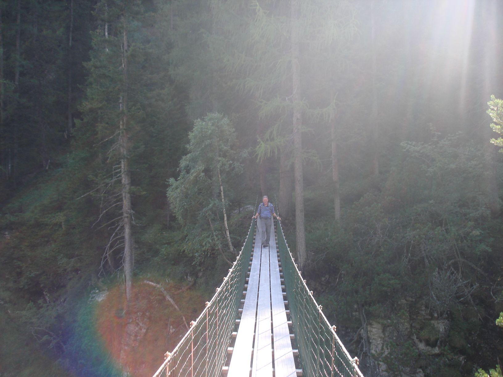
Rüfikopfbahn – Monzabonsee – Friedrich-Mayer-Weg – Wöstersattel – Obere- und Untere Wösteralpe – Bockbachtal - Krabachbrücke
Schwierigkeit
keine
Highlights
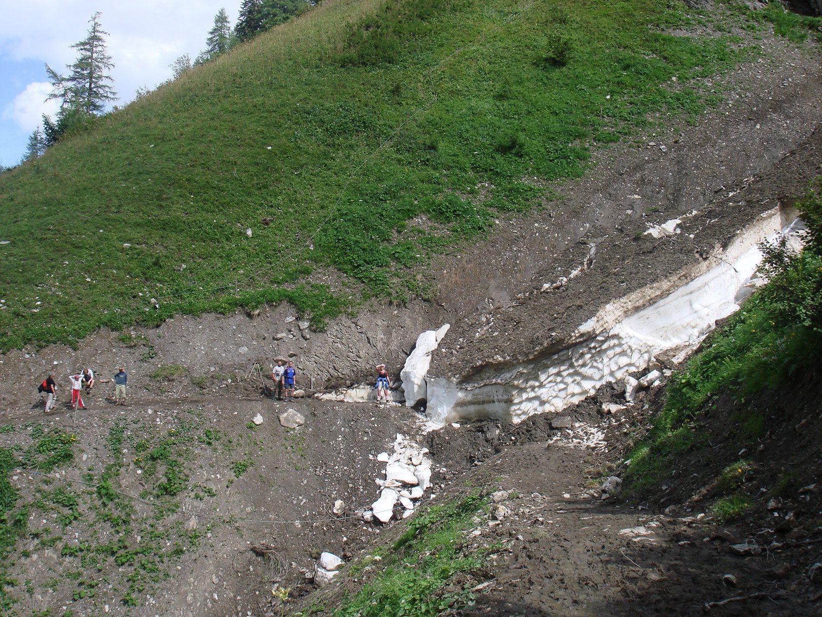
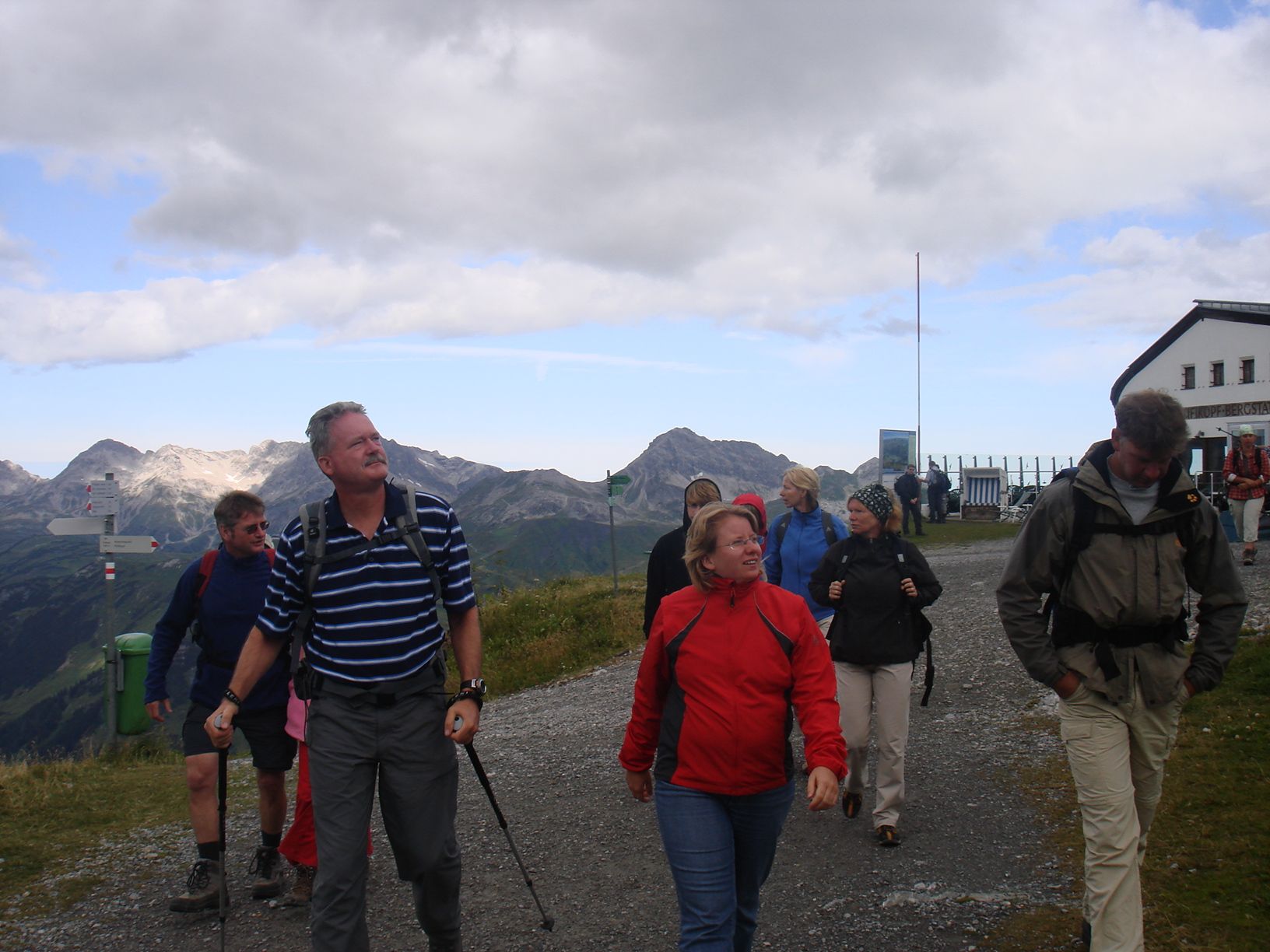
Wösteralpe, eine der größten Alpen Vorarlbergs mit ca. 500 stk. Vieh, Rüfikopfbahn (Von dort hat man einen wunderschöne Rundbli
- Route
-
Panoramarestaurant Rüfikopf0,1 kmBockbachtal8,4 kmBockbacher Almwirtschaft10,7 kmVorderbockbachalpe10,8 kmBirchetsgump12,8 km
- Maximale hoogte
- 2.325 m
- Hoogteprofiel
-

- Auteur
-
De rondleiding Bockbachtal wordt gebruikt door outdooractive.com op.
GPS Downloads


Meer rondleidingen in de regio's
-
Arlberg
1721
-
Lech - Zürs am Arlberg
512