

© Lech Zürs Tourismus GmbH - Lech Zuers Tourismus GmbH
© Lech Zürs Tourismus GmbH - Lech Zuers Tourismus GmbH
© Lech Zürs Tourismus GmbH - Lech Zuers Tourismus GmbH
- Korte beschrijving
-
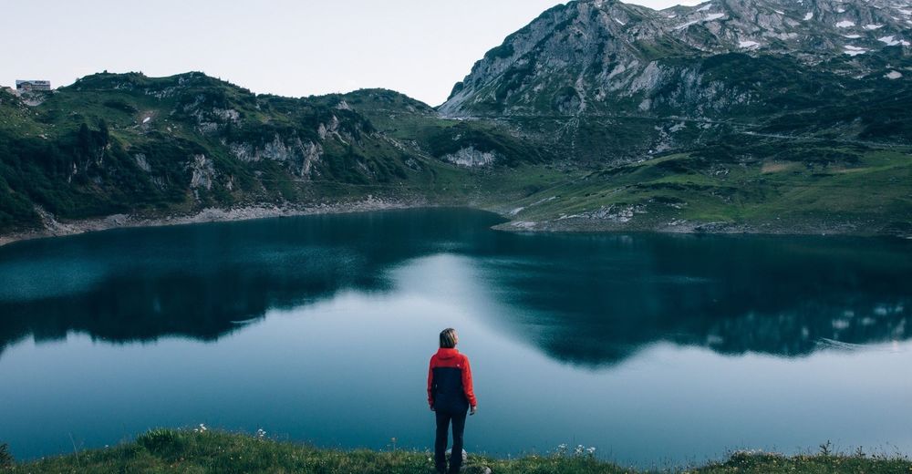
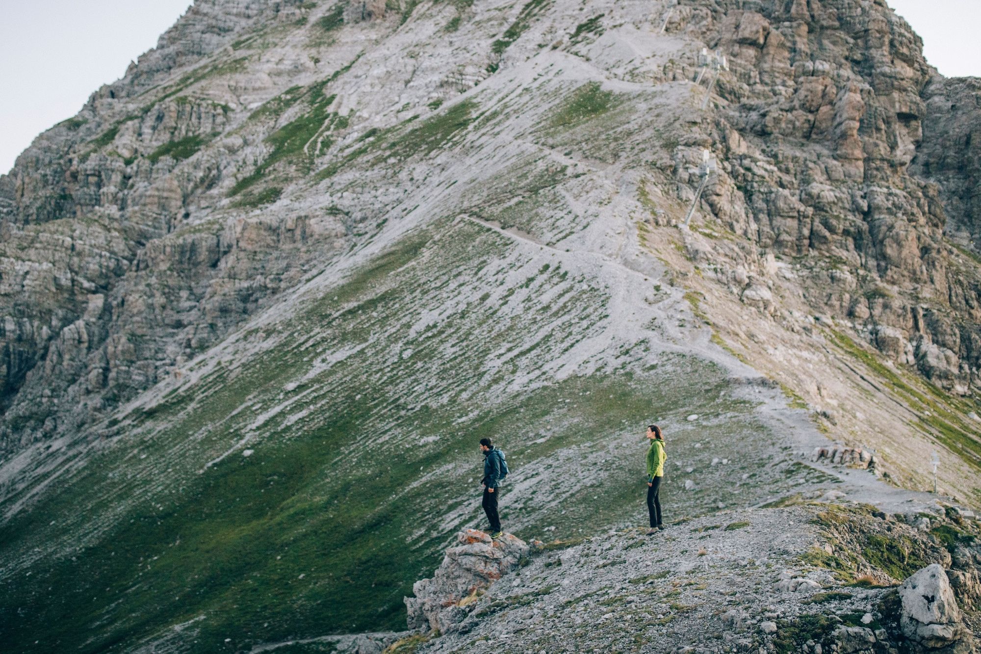
This long and difficult tour should be done early in the morning and only in good weather. Wonderful views and cosy refreshment stops await you.
- Moeilijkheid
-
zwaar
- Waardering
-
- Route
-
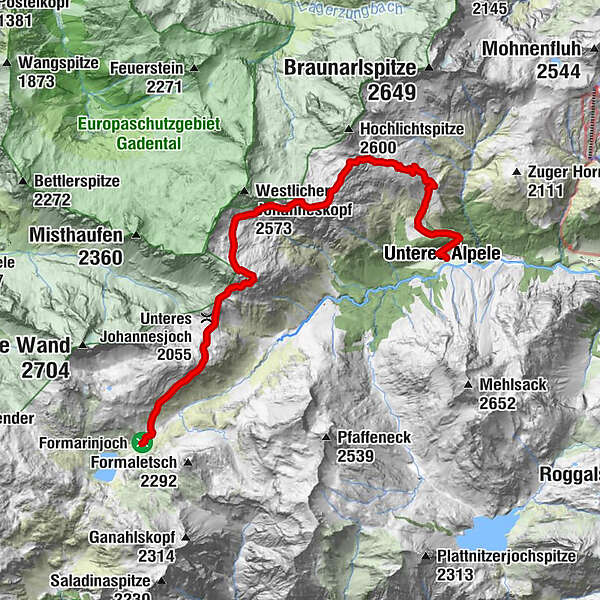
Formarinalpe0,2 kmGöppinger Hütte8,0 km
- Beste seizoen
-
janfebmrtaprmeijunjulaugsepoktnovdec
- Maximale hoogte
- 2.411 m
- Bestemming
-
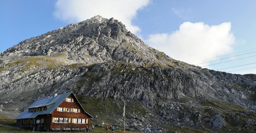
Gasthof Älpele
- Hoogteprofiel
-


-

-
AuteurDe rondleiding Over the Steinmayerweg to the Göppingen hut wordt gebruikt door outdooractive.com op.
GPS Downloads


Algemene info
Verfrissingsstop
Tip voor insiders
Veelbelovend
Meer rondleidingen in de regio's
-
Klostertal
1791
-
Warth - Schröcken am Arlberg
613


