

© Lech Zürs Tourismus GmbH - Lech Zuers Tourismus GmbH

© Lech Zürs Tourismus GmbH - Lech Zuers Tourismus GmbH

© Lech Zürs Tourismus GmbH - Lech Zuers Tourismus GmbH
- Korte beschrijving
-
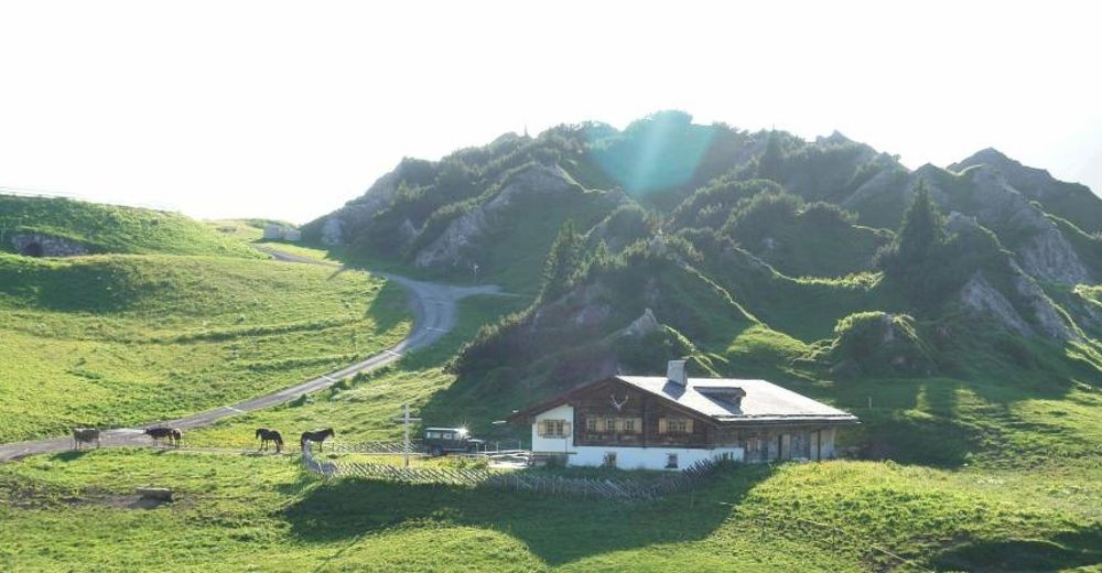
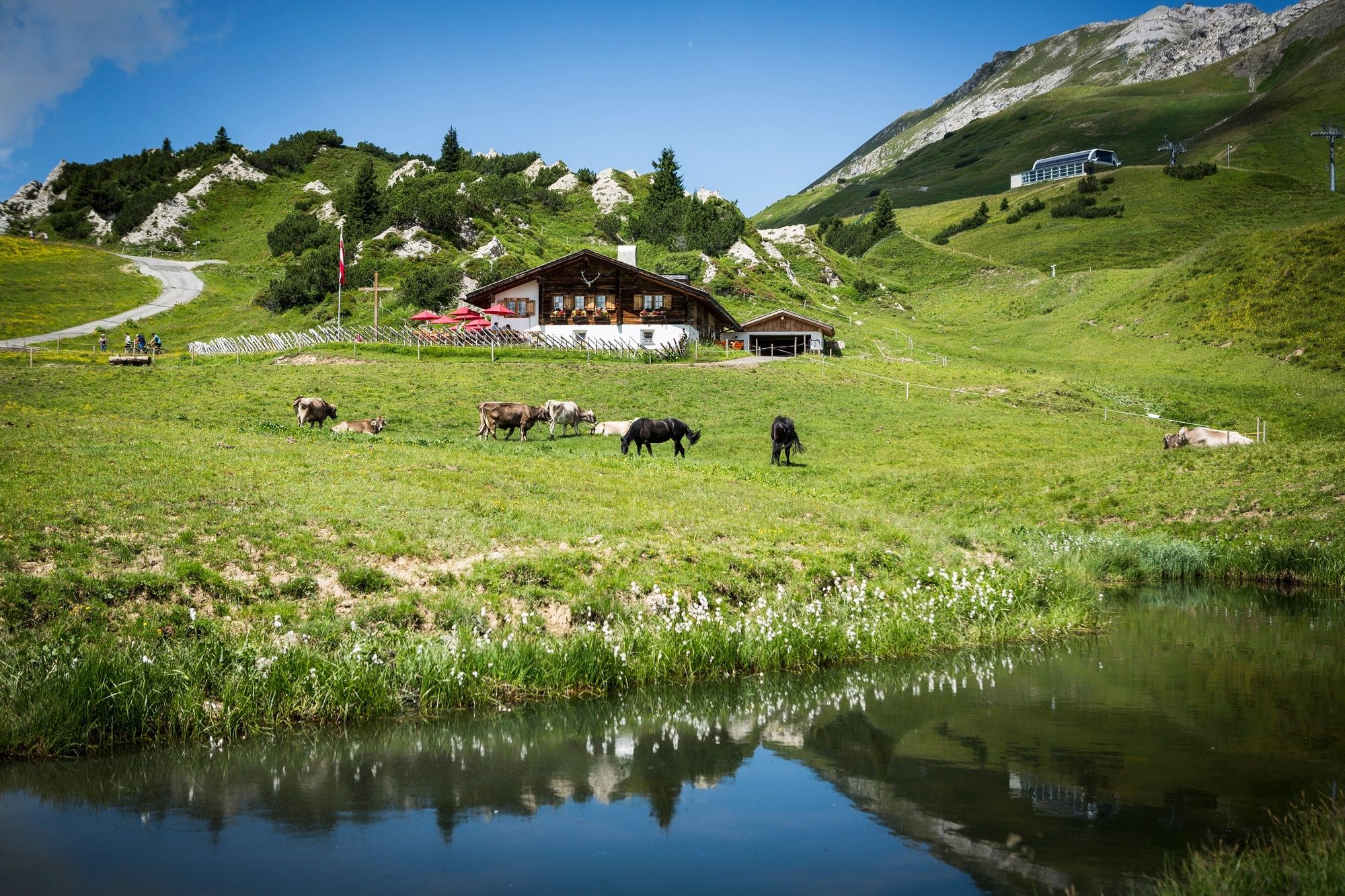
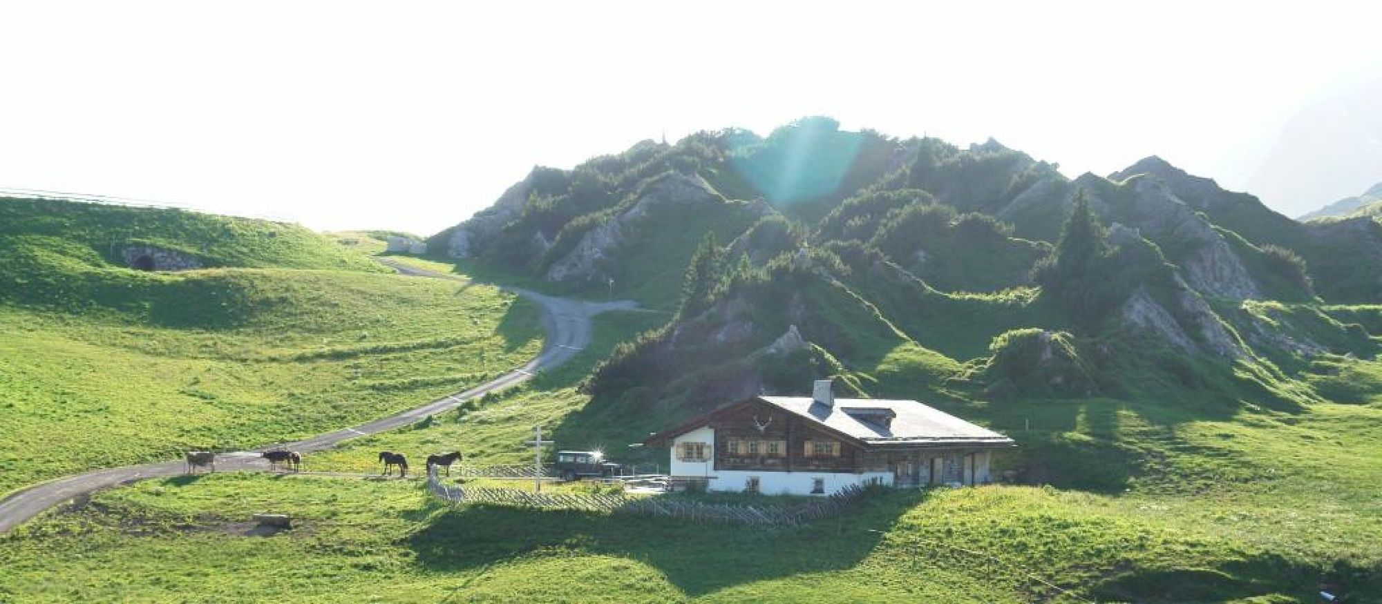
This scenic hike takes you through the Zugertobel and to national heritage the nature reserve Gipslöcher.
- Moeilijkheid
-
medium
- Waardering
-
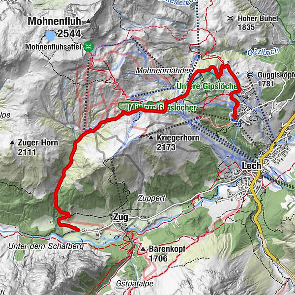
- Route
-
Bergbahn Lech - Oberlech0,0 kmOberlech0,2 kmÜbungslift Oberlech0,5 kmWeibermahdbahn2,6 kmDer Wolf2,7 kmKriegeralpe3,2 kmKlösterle7,0 km
- Beste seizoen
-
janfebmrtaprmeijunjulaugsepoktnovdec
- Maximale hoogte
- 2.016 m
- Bestemming
-
Oberlech
- Hoogteprofiel
-


-

-
AuteurDe rondleiding Through the Zugertobel up to the Kriegeralp wordt gebruikt door outdooractive.com op.
GPS Downloads


Algemene info
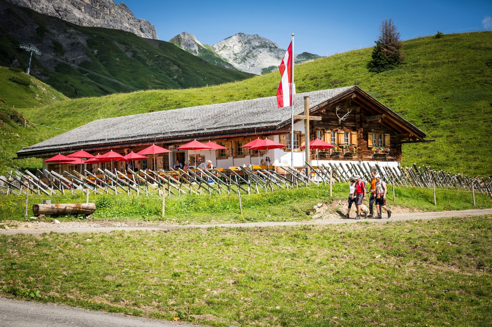
Verfrissingsstop
Meer rondleidingen in de regio's


