Damüls-Faschina | Rundtour Faschina-Damüls-Faschina

Wandelen
© Damüls - Faschina Tourismus - Matthias Greilach

- Korte beschrijving
-
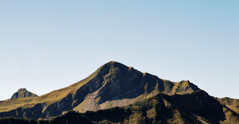
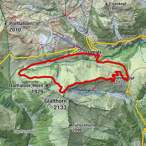
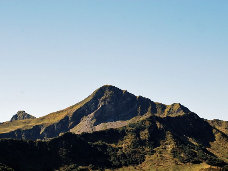
Faschinajoch - Hahnenkopf - Bergstation Glatthornbahn - Alpe Unterdamüls - Damüls Kirchdorf - Faschinajoch
- Moeilijkheid
-
medium
- Waardering
-
- Route
-
Faschina0,1 kmHahnenkopf (1.772 m)1,7 kmAlpe Unterdamüls5,9 kmDamüls (1.423 m)8,9 kmFaschina11,0 km
- Beste seizoen
-
janfebmrtaprmeijunjulaugsepoktnovdec
- Maximale hoogte
- 1.979 m
- Bestemming
-
Faschinajoch
- Hoogteprofiel
-

- Auteur
-
De rondleiding Damüls-Faschina | Rundtour Faschina-Damüls-Faschina wordt gebruikt door outdooractive.com op.
GPS Downloads


Algemene info
Verfrissingsstop
Flora
Meer rondleidingen in de regio's
-
St. Gallen - Bodensee
2066
-
Biosphärenpark Großes Walsertal
2008
-
Damüls
576


