

© Kleinwalsertal Tourismus eGen

© Kleinwalsertal Tourismus eGen

© Kleinwalsertal Tourismus eGen

© Kleinwalsertal - Kleinwalsertal Tourismus eGen

© Kleinwalsertal Tourismus eGen

© Kleinwalsertal Tourismus eGen

© Kleinwalsertal - Kleinwalsertal Tourismus eGen

© Kleinwalsertal Tourismus eGen | Fotograf @Oliver Farys

- Korte beschrijving
-
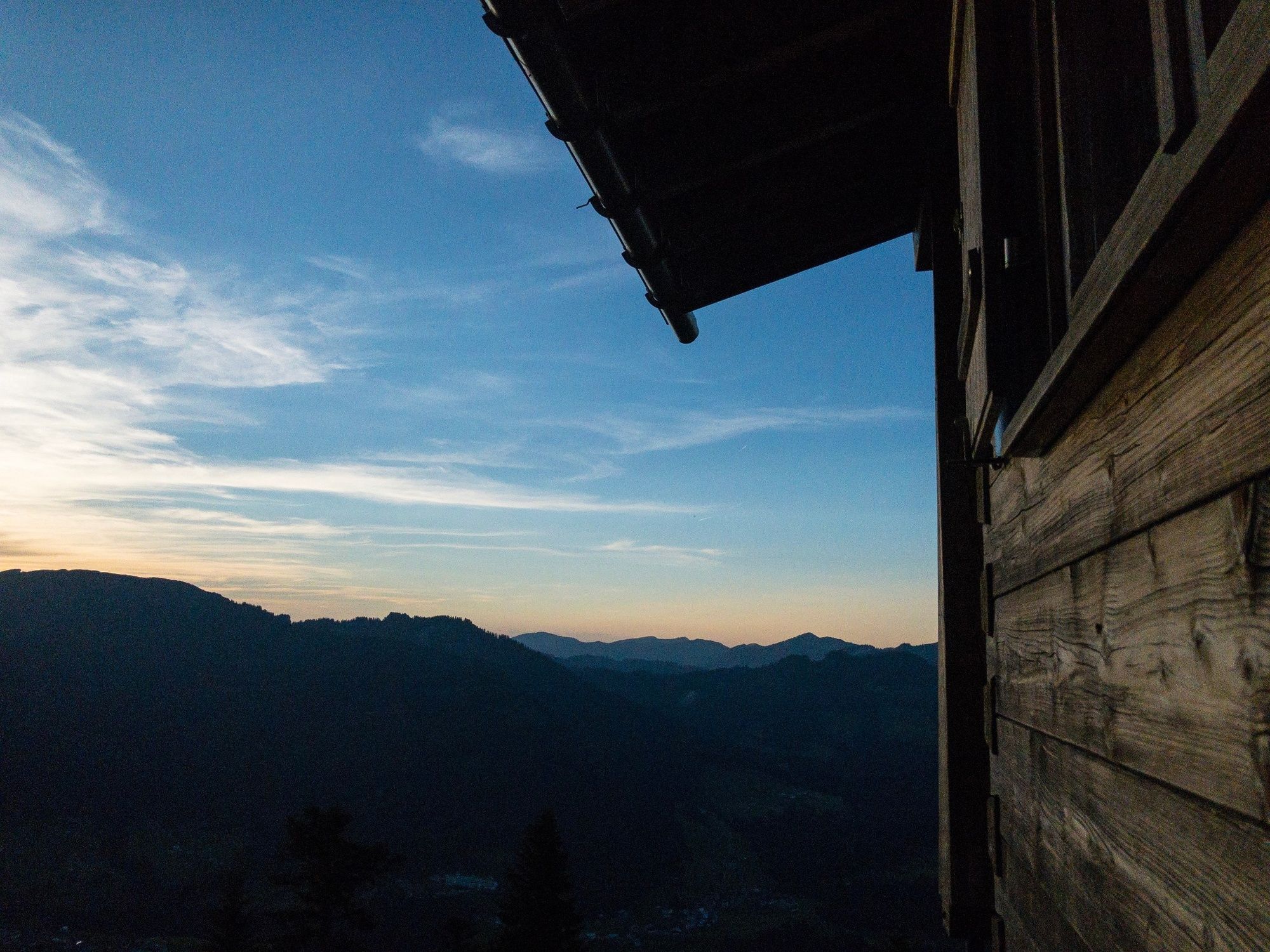
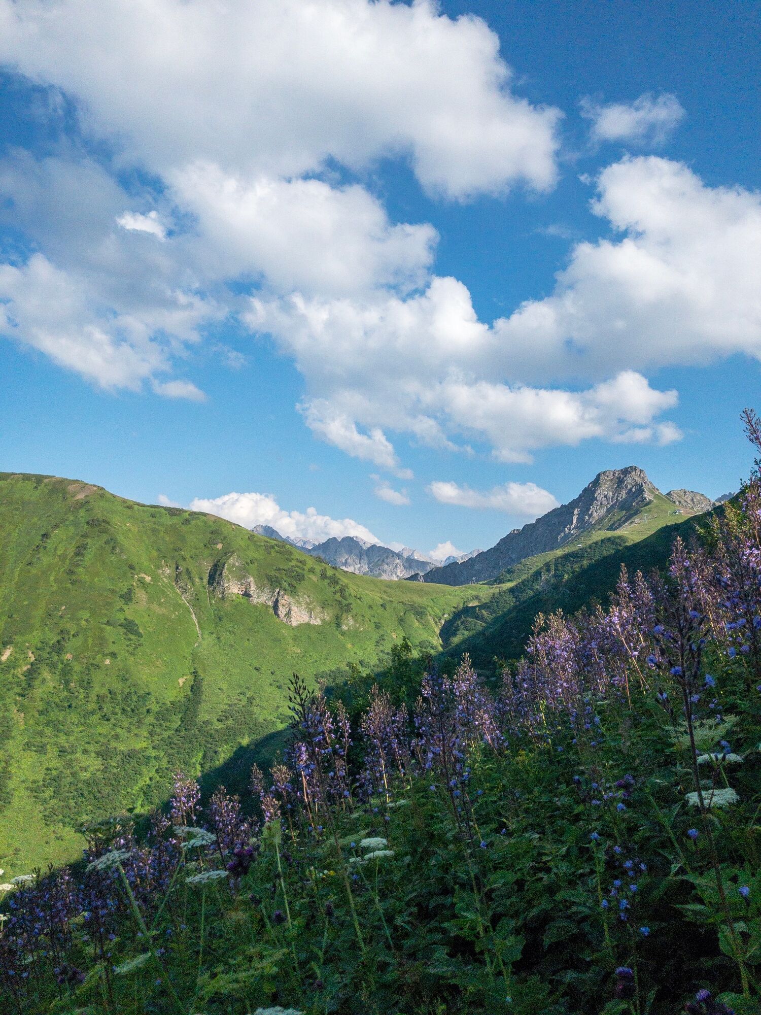
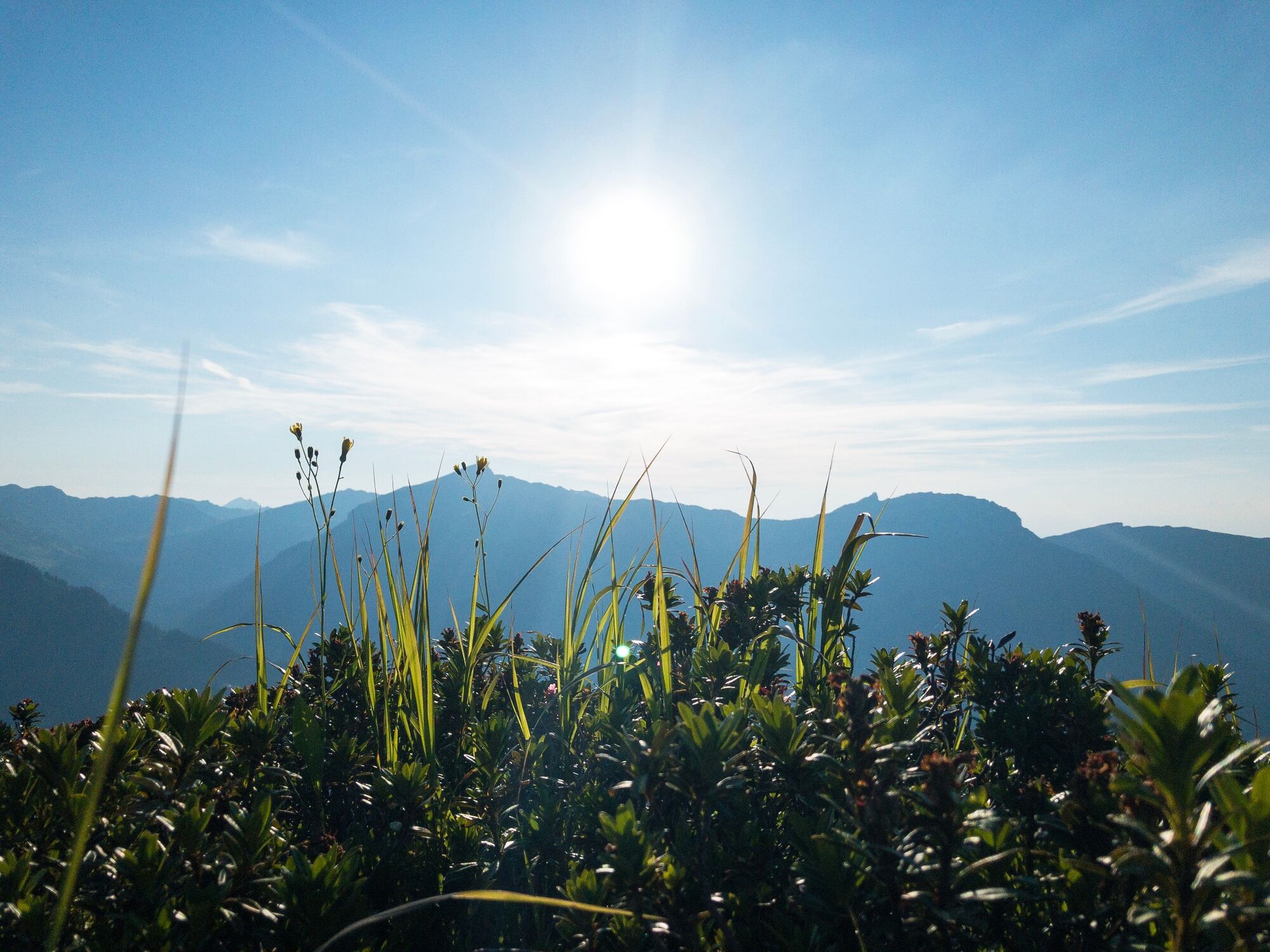
Crisp mountain hike from the Riezler Alpe to the Gehrenspitze and the Kanzelwandbahn. The reward is already waiting, great views of the Kleinwalsertal and the Allgäu.
- Moeilijkheid
-
zwaar
- Waardering
-
- Route
-
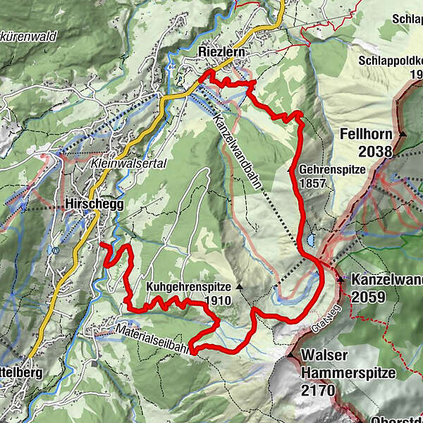
Riezlern (1.086 m)0,2 kmRiezleralpe2,3 kmGehrenspitze (1.857 m)3,2 kmRote Wand3,9 kmPanoramarestaurant (1.956 m)4,2 kmInnere Kuhgehrenalpe7,2 kmÄußere Kuhgehrenalpe8,0 kmBrand-Alpe9,2 kmNebenwasser10,8 kmHirschegg (1.122 m)11,4 kmDürenboden11,4 km
- Beste seizoen
-
janfebmrtaprmeijunjulaugsepoktnovdec
- Maximale hoogte
- 1.955 m
- Bestemming
-
Riezlern
- Hoogteprofiel
-


- Auteur
-
De rondleiding Via the Riezler Alpe to the Kanzelwandbahn wordt gebruikt door outdooractive.com op.
GPS Downloads


Algemene info
Verfrissingsstop
Flora
Fauna
Veelbelovend
Meer rondleidingen in de regio's


