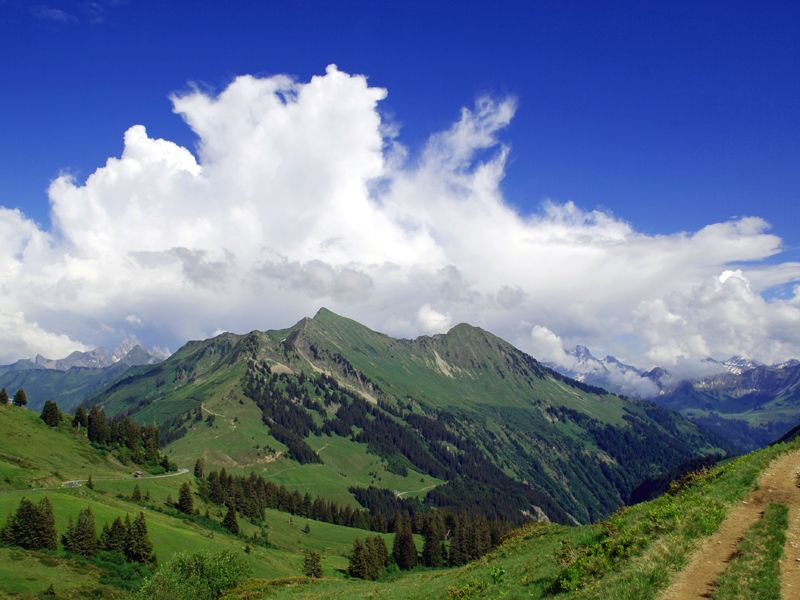
Damüls-Faschina | Rund um's Glatthorn

Logo Damüls-Faschina | Rund um's Glatthorn
Toerdatums
12,25km
1.121 - 1.703m
Afstand
335hm
606hm
Opstijging
04:45h
 
Duur
Korte beschrijving

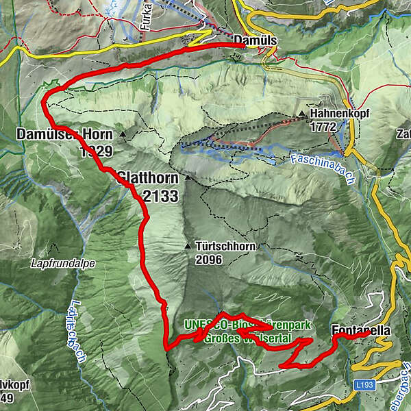
Damüls - Alpe Unterdamüls - Hintertürtschalpe - Türtschalpe - Mittelberg -Fontanella

Moeilijkheid
medium
Waardering
Techniek
Conditie
Landschap
Belevenis
Route
Damüls (1.423 m)
Alpe Unterdamüls
2,7 km
Türtschalpe (1.641 m)
6,2 km
Mittelberg
10,6 km
Pfarrkirche Hl. Sebastian
12,1 km
Fontanella (1.145 m)
12,1 km

Beste seizoen
jan
feb
mrt
apr
mei
jun
jul
aug
sep
okt
nov
dec
Maximale hoogte
1.703 m
Bestemming

Fontanella

Hoogteprofiel

Auteur
De rondleiding Damüls-Faschina | Rund um's Glatthorn wordt gebruikt door outdooractive.com op.

Algemene beoordeling

5

0

%

4

0

%

3

0

%

2

0

%

1

0

%

Fout
Er is een fout opgetreden. Probeer het opnieuw.
Bedankt voor uw beoordeling

Waardering is verwijderd

GPS Downloads
  • GPX GPS Exchange Format (XML)
  • KML Google Earth, Google Maps
QR Downloadcodes voor mobiele telefoons

Algemene info

Verfrissingsstop
Veelbelovend
Meer rondleidingen in de regio's

Populaire rondleidingen in de omgeving

Rote Wand 2704m

zwaar Wandelen
13,9km | 1181hm | 06:00h

Hiking around the lake Spullersee

gemakkelijk Wandelen
5,58km | 183hm | 01:56h

Faschina | Rund um's Zafernhorn

medium Wandelen
10,09km | 634hm | 04:15h

Damüls | Sünserspitze with Sünsersee

medium Wandelen
8,12km | 405hm | 03:10h