
© www.guideservice.at - Erich Zucalli

© www.guideservice.at - Erich Zucalli
© www.guideservice.at - Erich Zucalli
© www.guideservice.at - Erich Zucalli
© www.guideservice.at - Erich Zucalli

© www.guideservice.at - Erich Zucalli
© www.guideservice.at - Erich Zucalli
© www.guideservice.at - Erich Zucalli
© www.guideservice.at - Erich Zucalli
© www.guideservice.at - Erich Zucalli


- Korte beschrijving
-
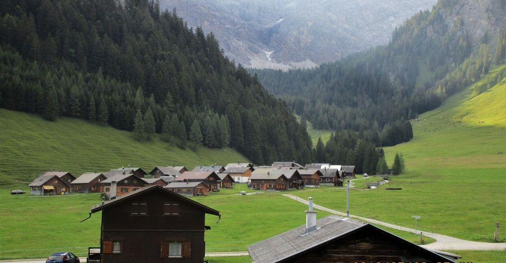
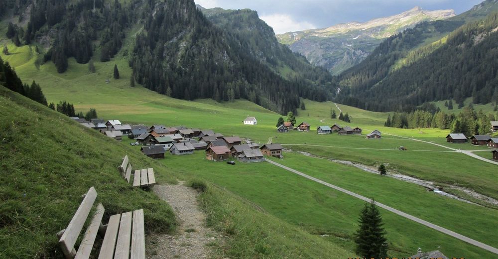
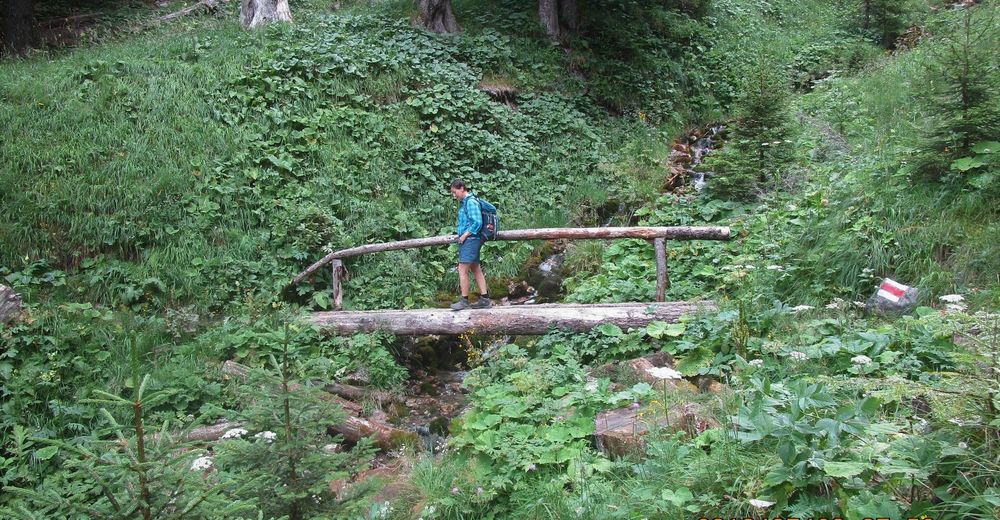
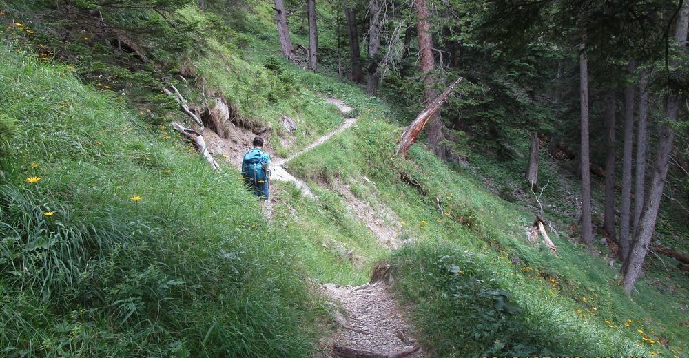
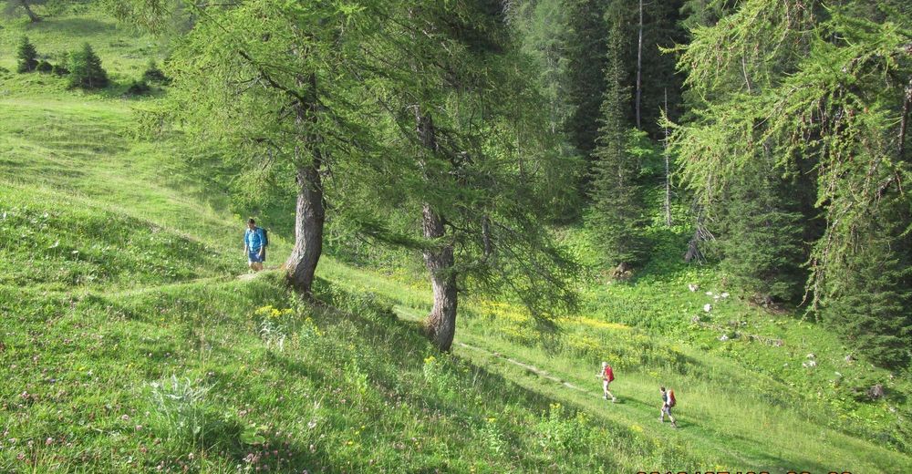
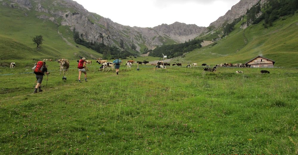
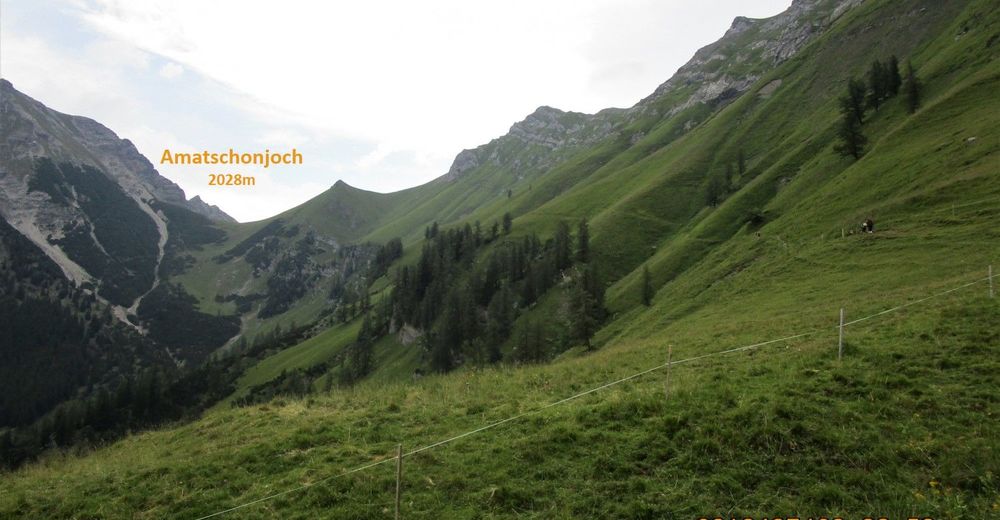
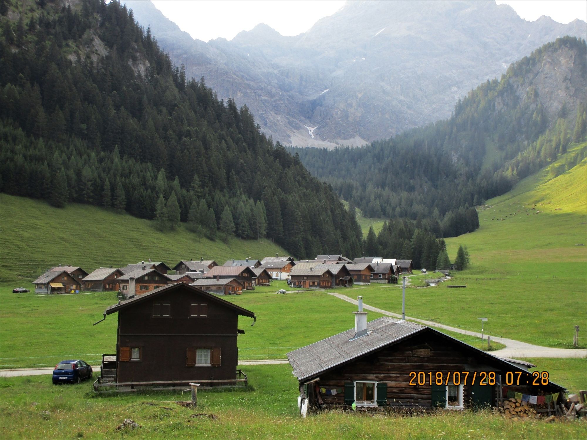
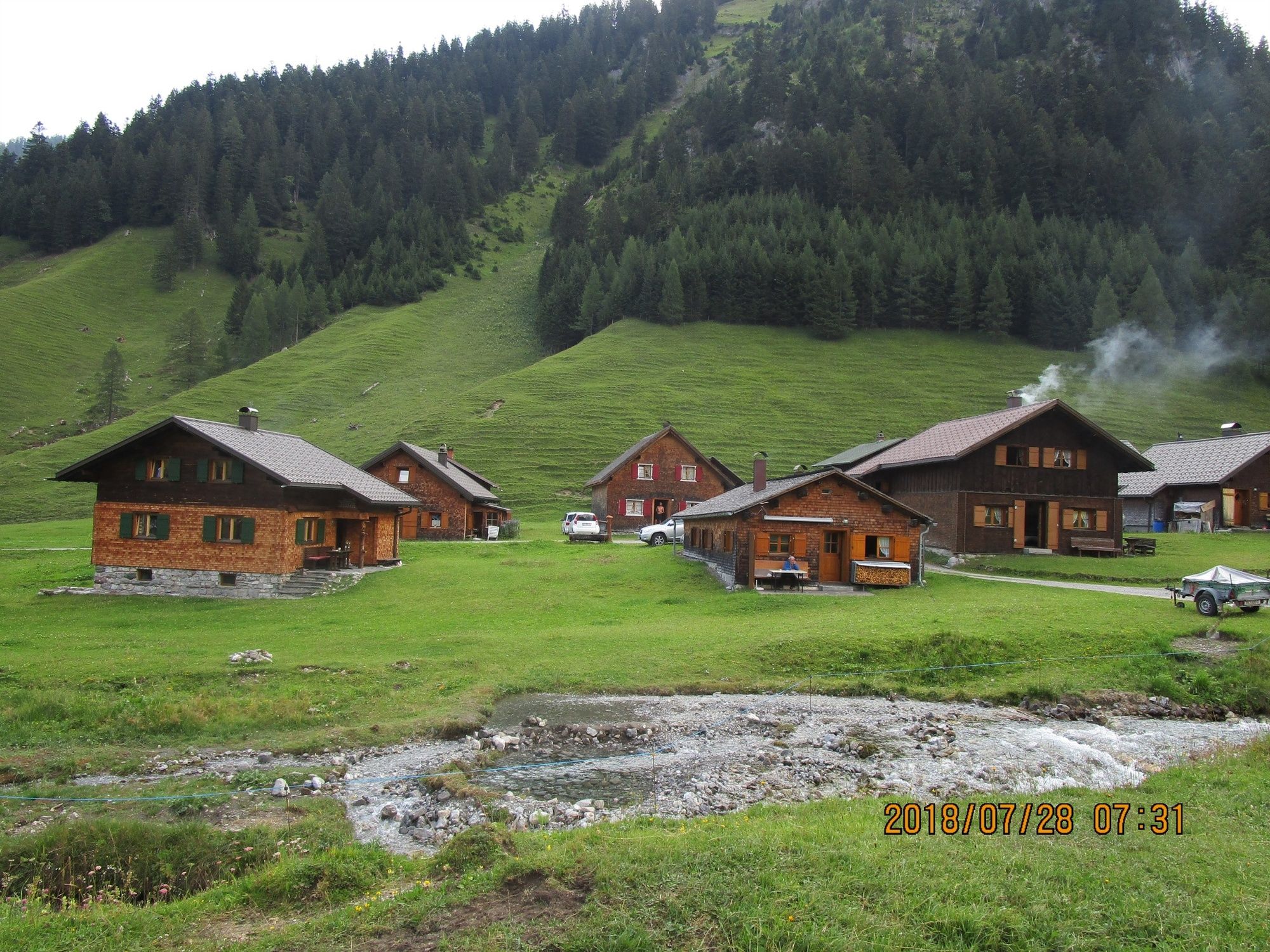
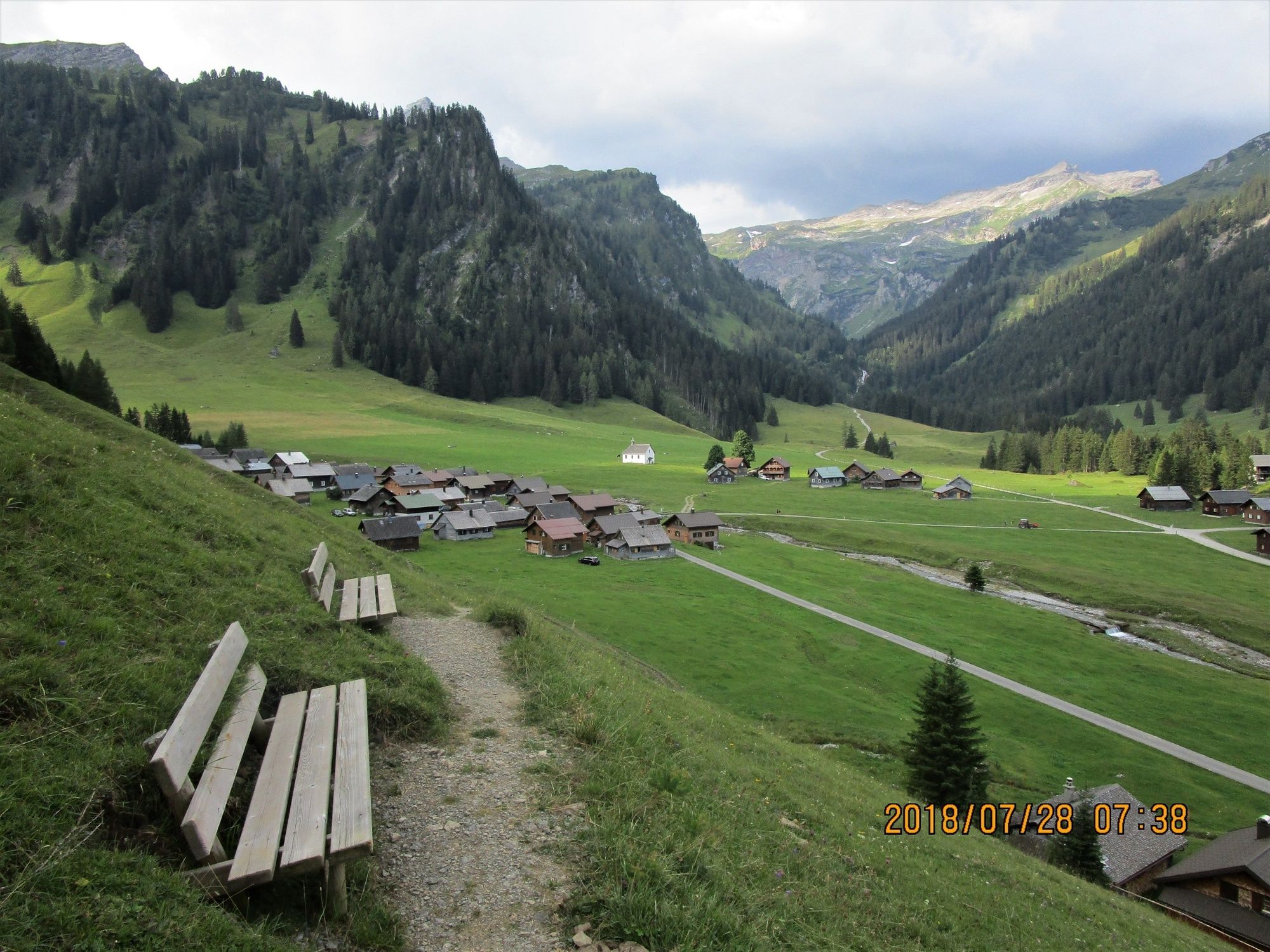
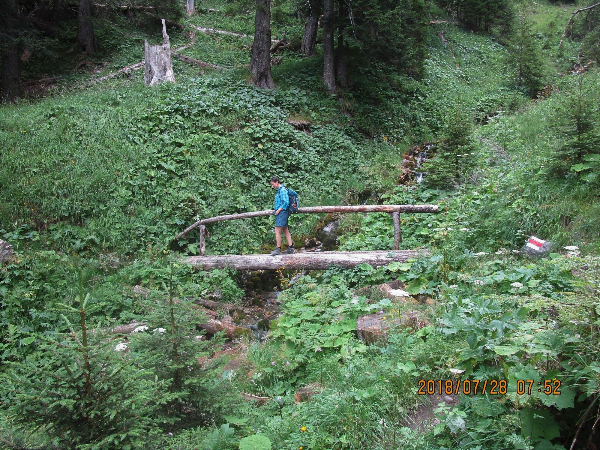
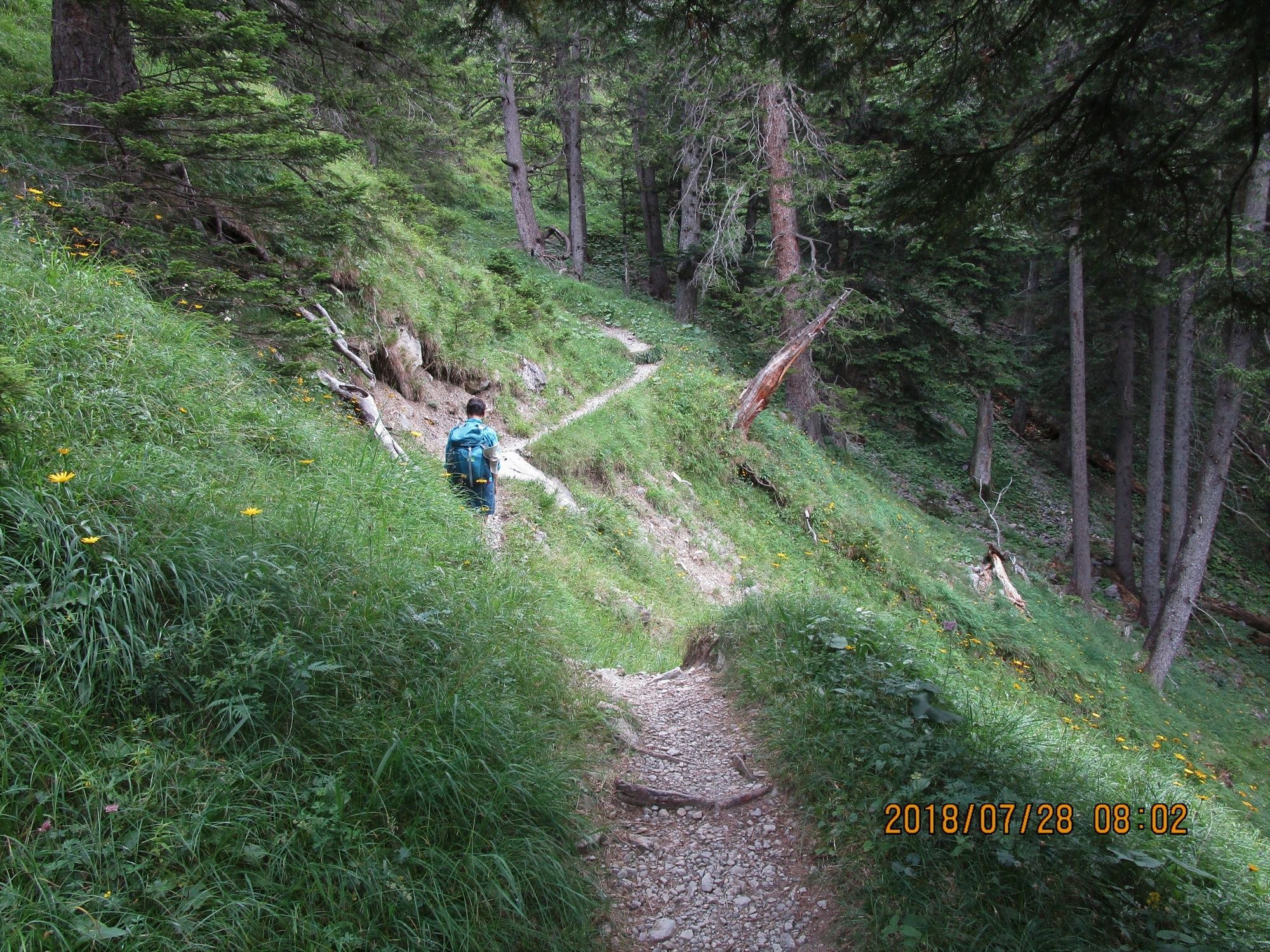
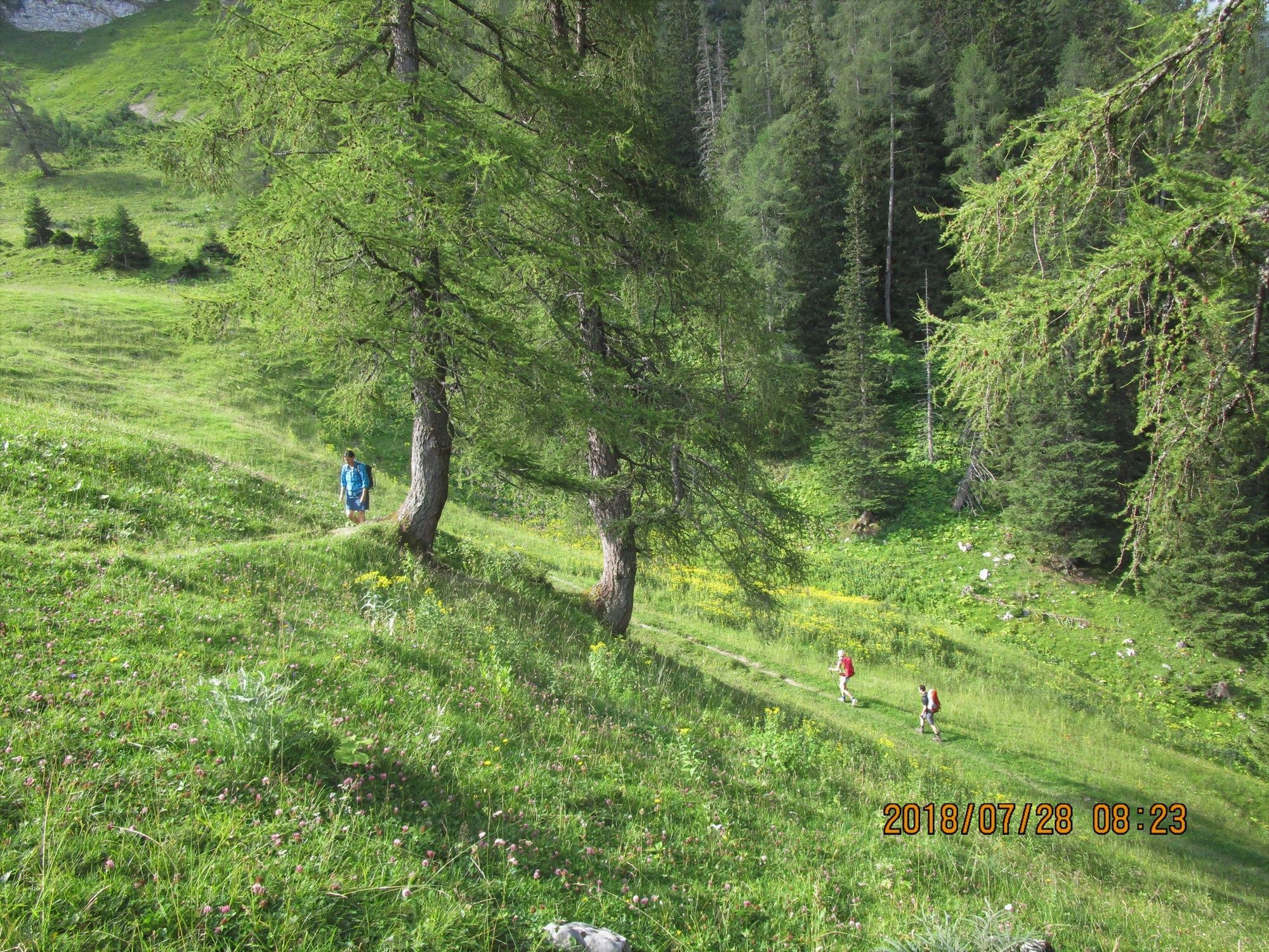
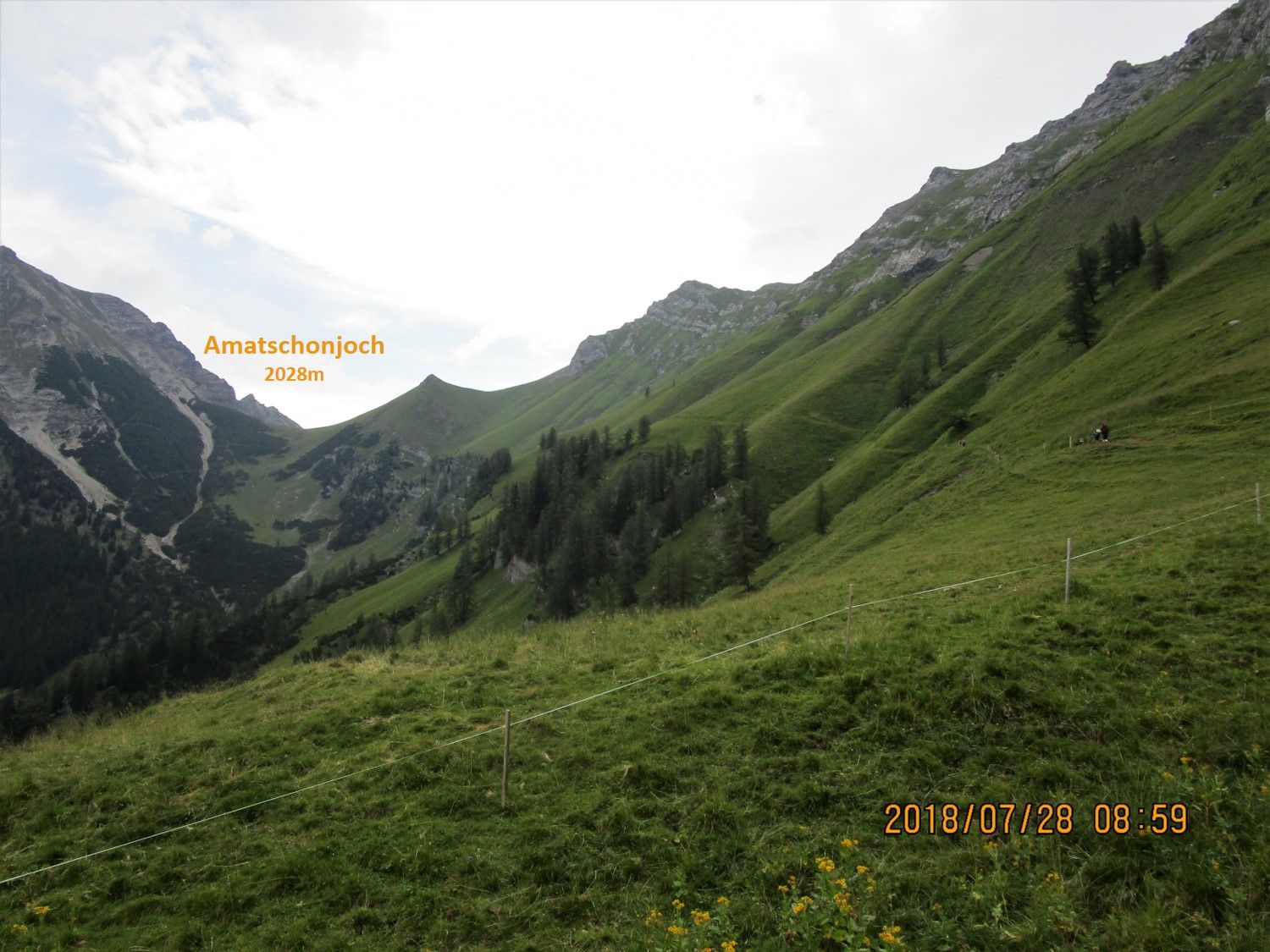
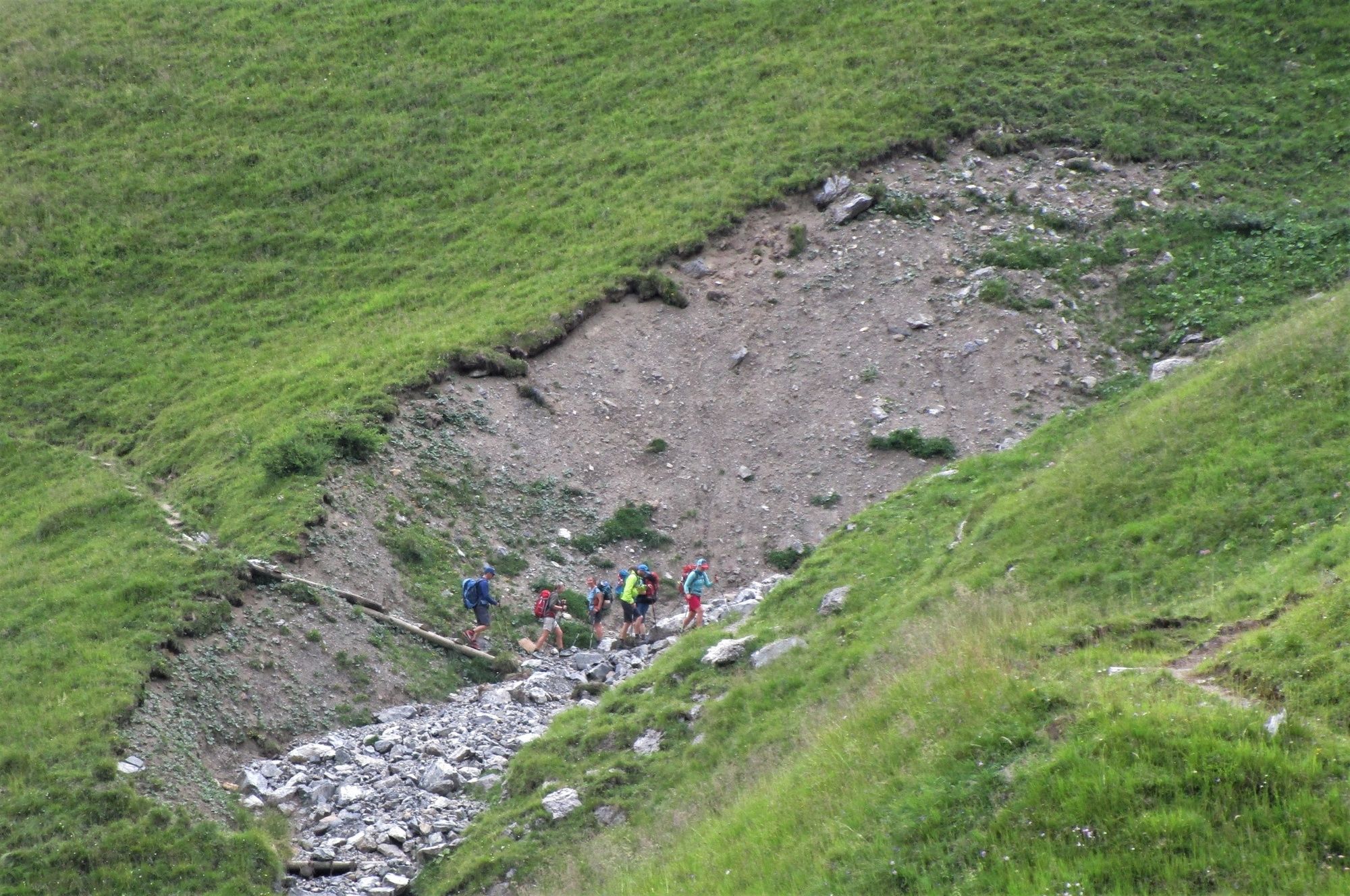
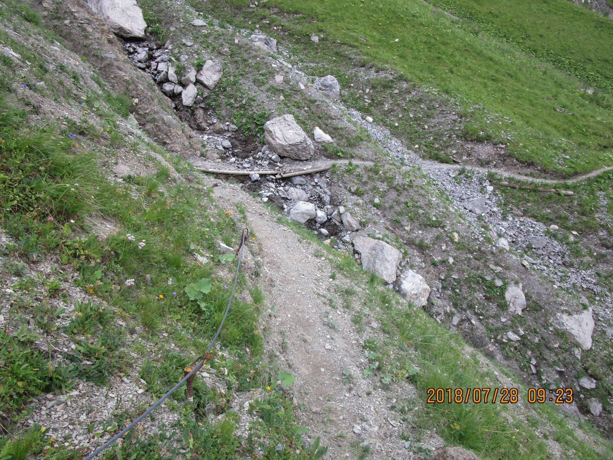
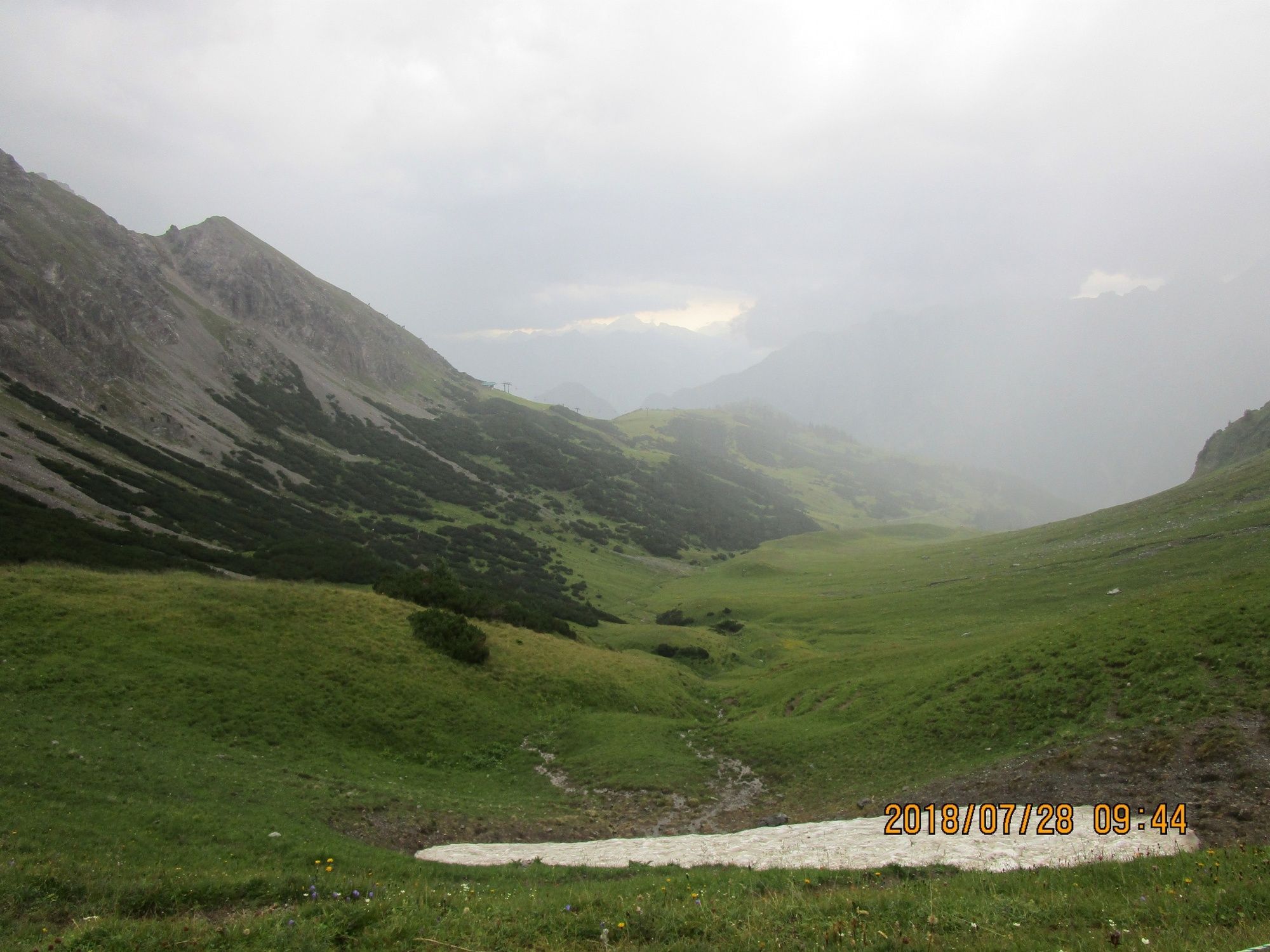
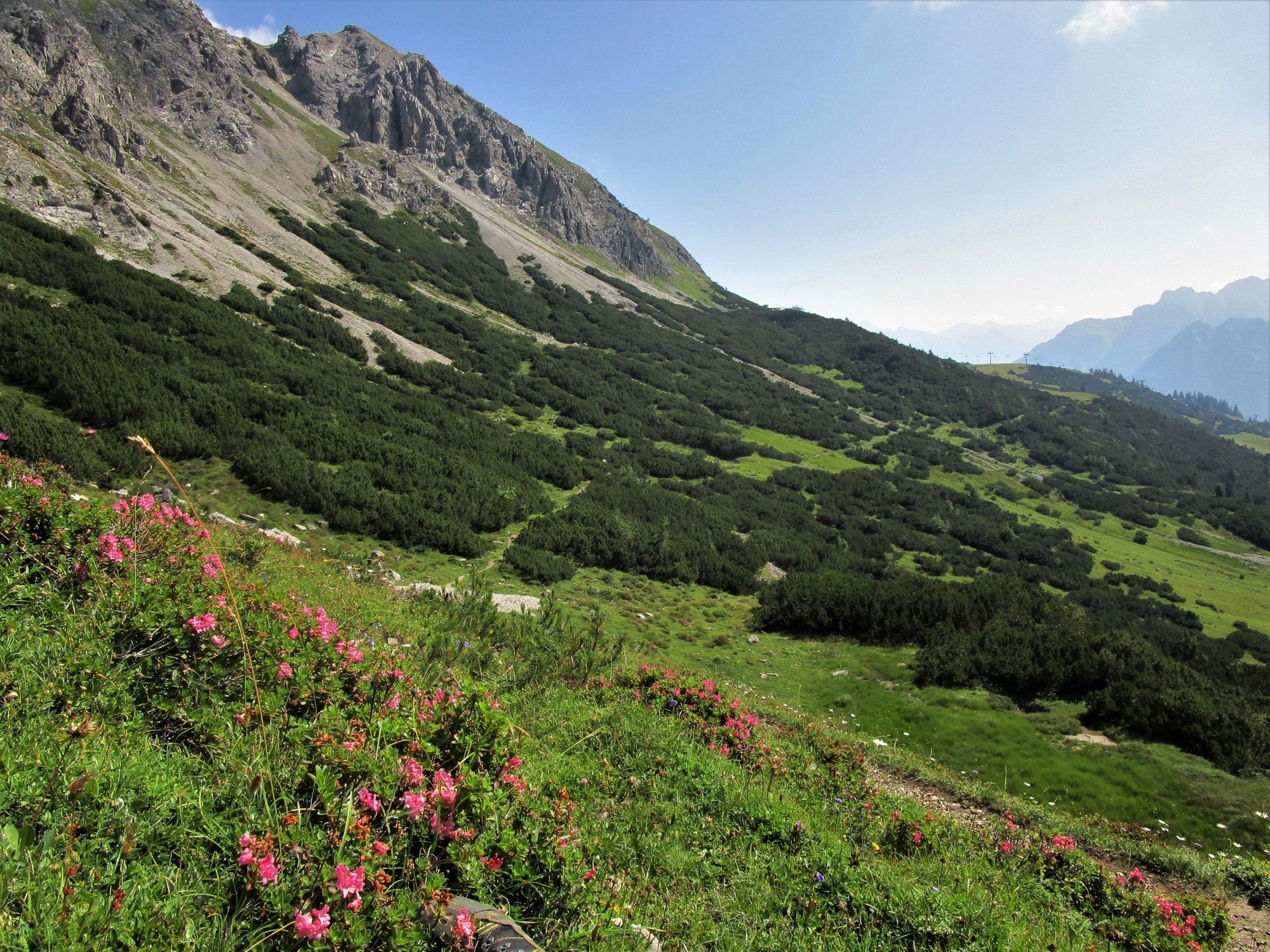
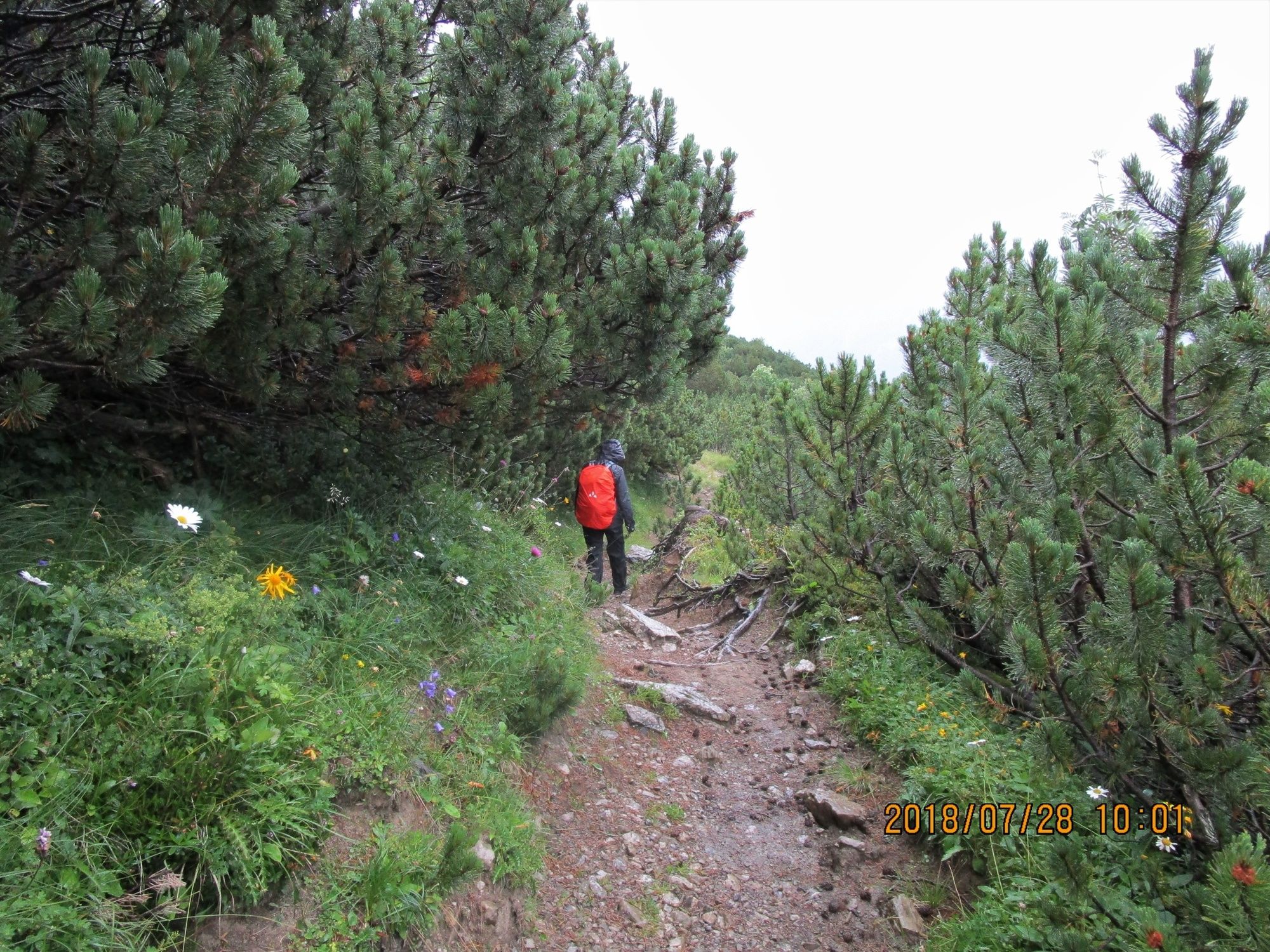
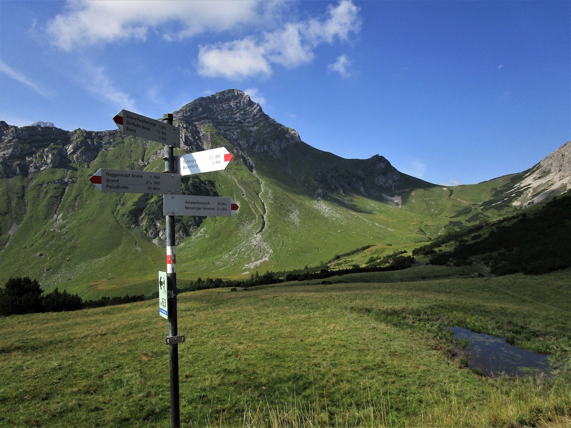
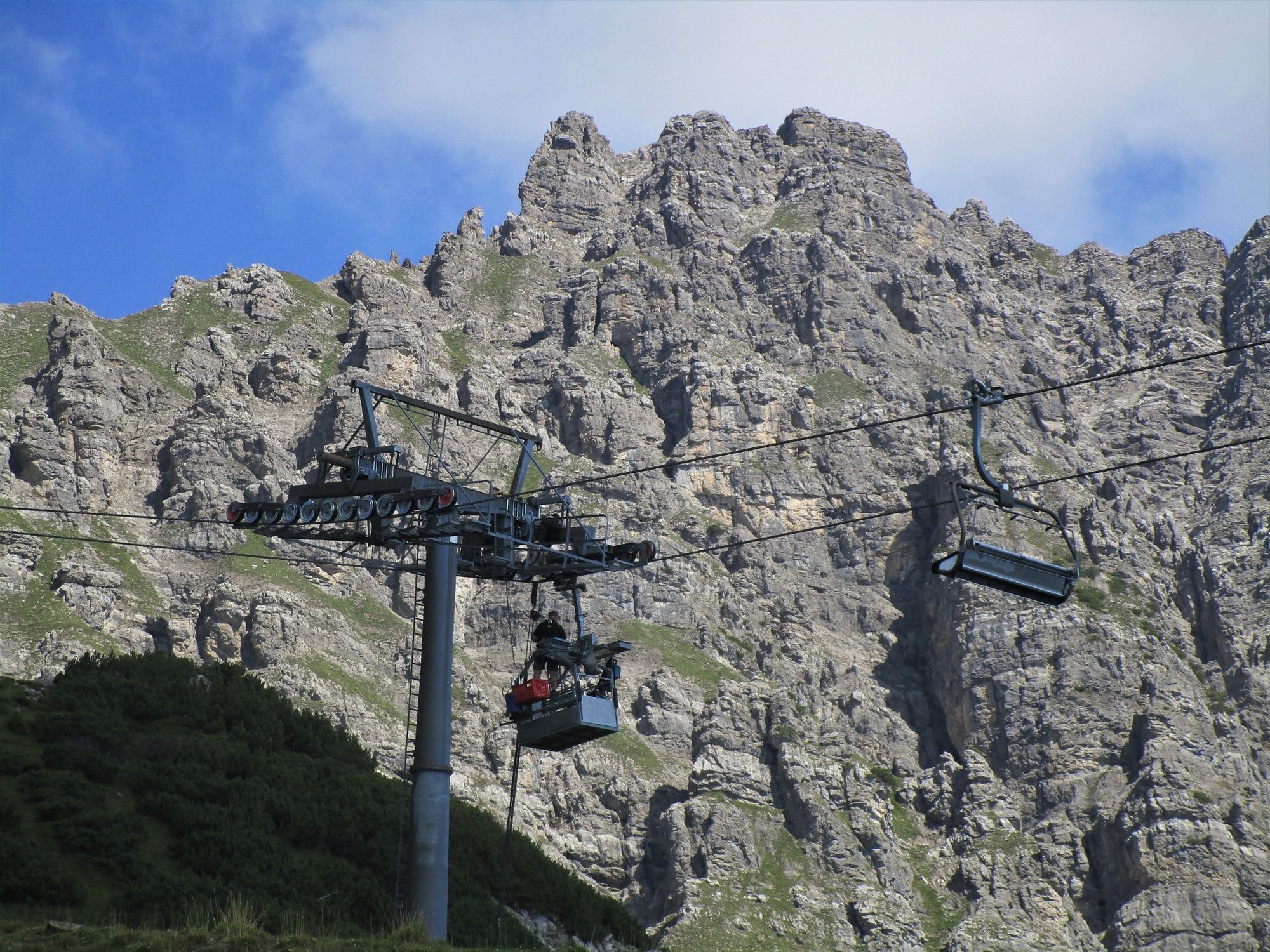
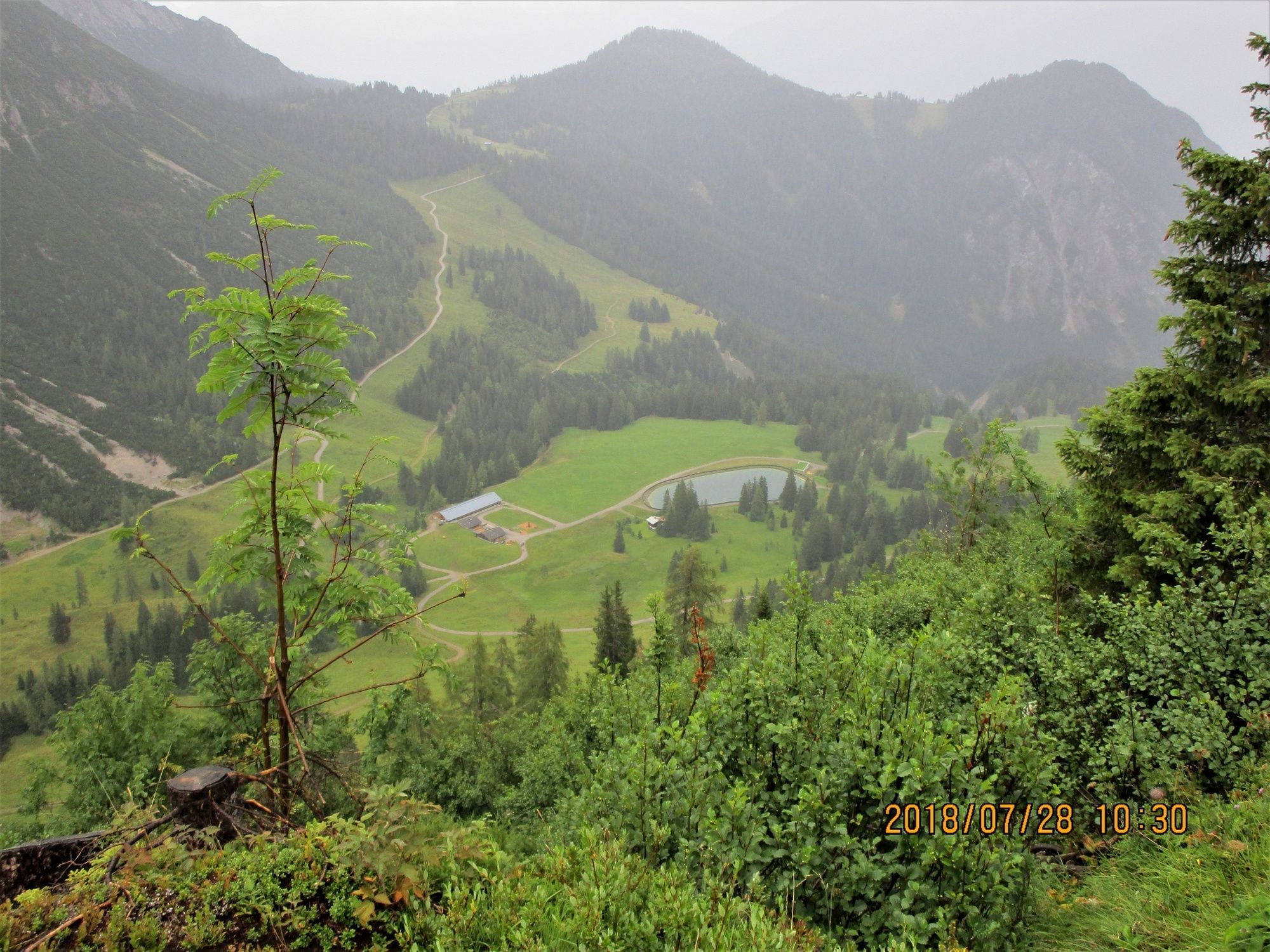
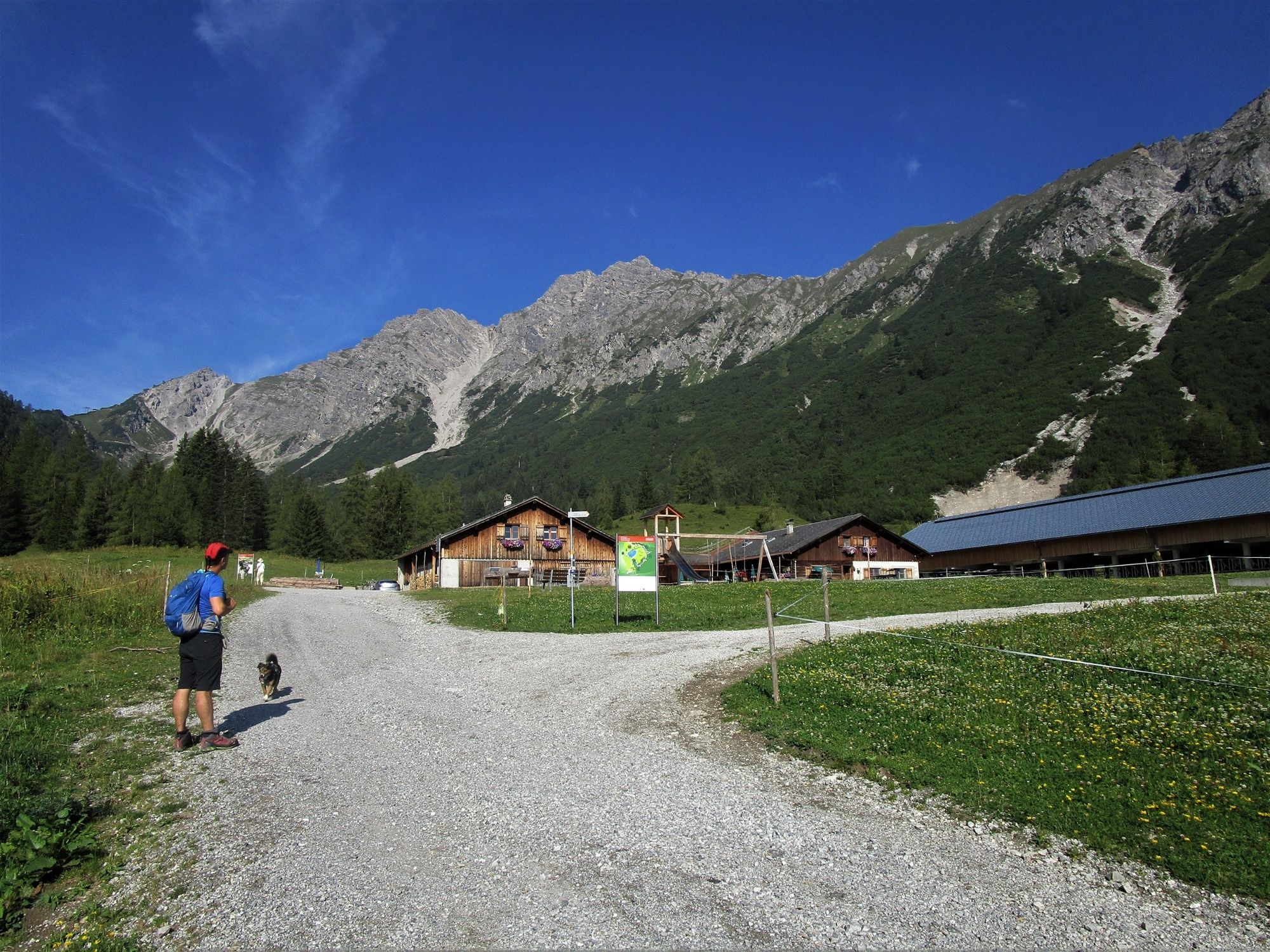
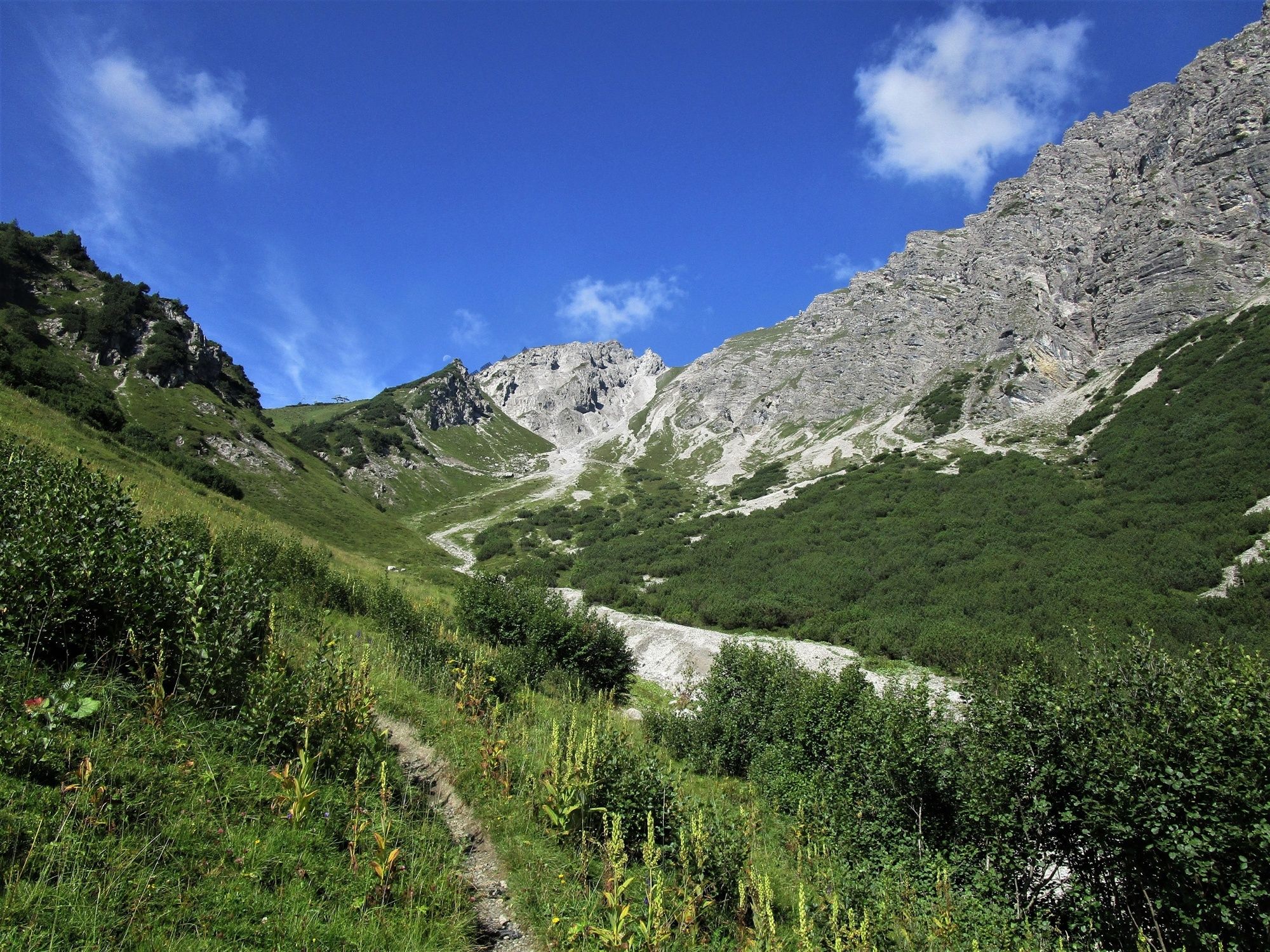
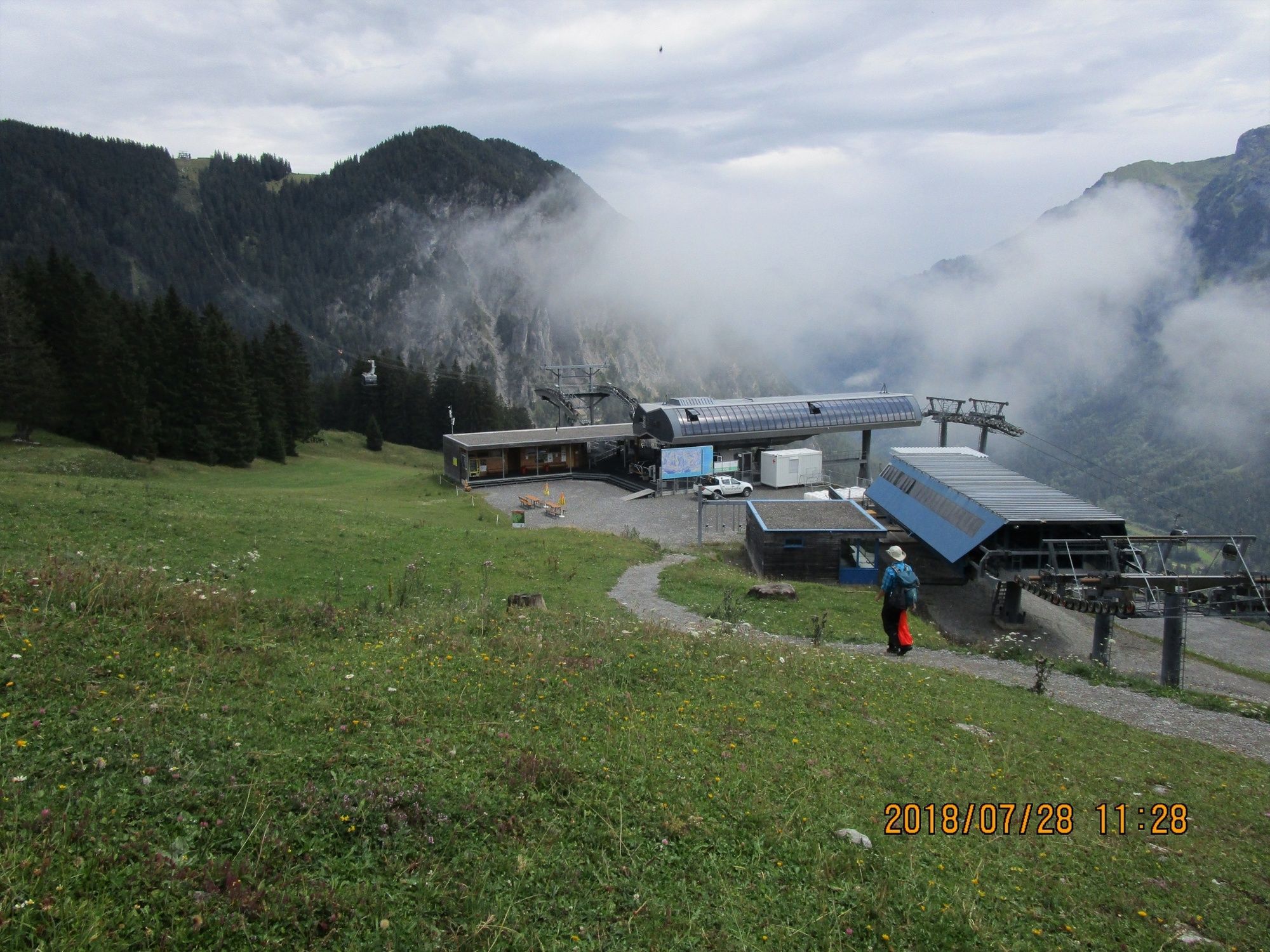
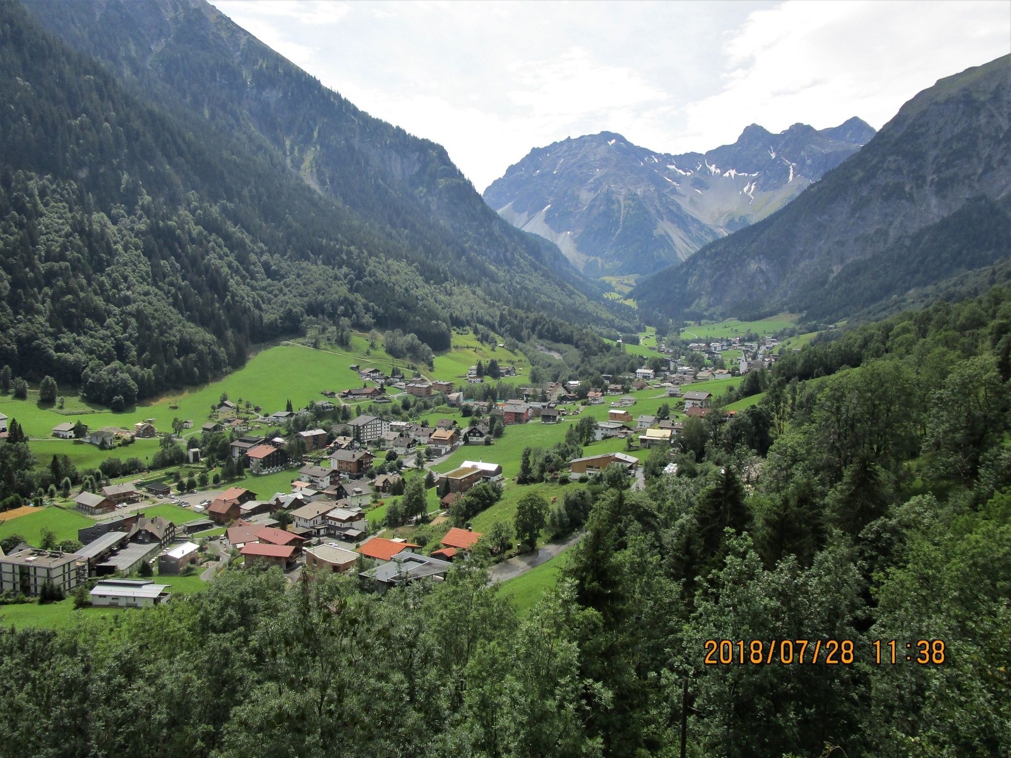
Bergtour vom Nenzinger Himmel im Gamperdonatal über das Amatschonjoch, das Glattjoch und den Gulma-Steig zur Bergstation der Dorfbahn in Brand.
- Moeilijkheid
-
medium
- Waardering
-
- Route
-
Nenzinger Himmel0,5 kmAlpe Setsch1,8 kmGulma (1.859 m)7,8 kmGulmabahn8,2 kmNiggenkopfbahn II8,7 kmNiggenkopfstüble9,1 km
- Beste seizoen
-
janfebmrtaprmeijunjulaugsepoktnovdec
- Maximale hoogte
- 2.041 m
- Bestemming
-
Brand
- Hoogteprofiel
-


- Auteur
-
De rondleiding Bergtour: Vom Nenzinger Himmel nach Brand wordt gebruikt door outdooractive.com op.
GPS Downloads


Algemene info
Verfrissingsstop
Veelbelovend
Meer rondleidingen in de regio's
-
Heidiland
2201
-
Brandnertal
1568
-
Brand
431


