© Lech Zürs Tourismus GmbH - Lech Zuers Tourismus GmbH

© DAV-Sektion Schwaben - Lech Zuers Tourismus GmbH
- Korte beschrijving
-
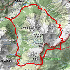
This very easy mountain hike leads you through untouched valley basins and across mountain crests with beautiful views.
- Moeilijkheid
-
medium
- Waardering
-
- Route
-
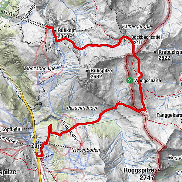
Panoramarestaurant RüfikopfRüfikopf (2.360 m)0,2 kmBockbachsattel (2.310 m)2,9 kmKrabachjoch (2.300 m)5,3 kmTritt-Alpe8,3 kmTrittalpe8,4 kmZürs (1.717 m)9,8 kmBergkirche Zürs10,0 kmArlberghaus - Walserstube10,2 km
- Beste seizoen
-
janfebmrtaprmeijunjulaugsepoktnovdec
- Maximale hoogte
- 2.408 m
- Bestemming
-
Zürs am Arlberg
- Hoogteprofiel
-

-

-
AuteurDe rondleiding Stuttgarter hut wordt gebruikt door outdooractive.com op.
GPS Downloads


Algemene info
Verfrissingsstop
Veelbelovend
Meer rondleidingen in de regio's
-
Arlberg
1723
-
Lech - Zürs am Arlberg
513