

© Community - Maikel Gädker
© Lech Zürs Tourismus GmbH - Lech Zuers Tourismus GmbH
- Korte beschrijving
-
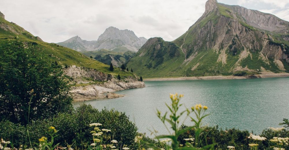
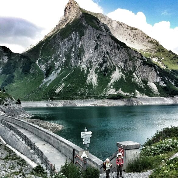
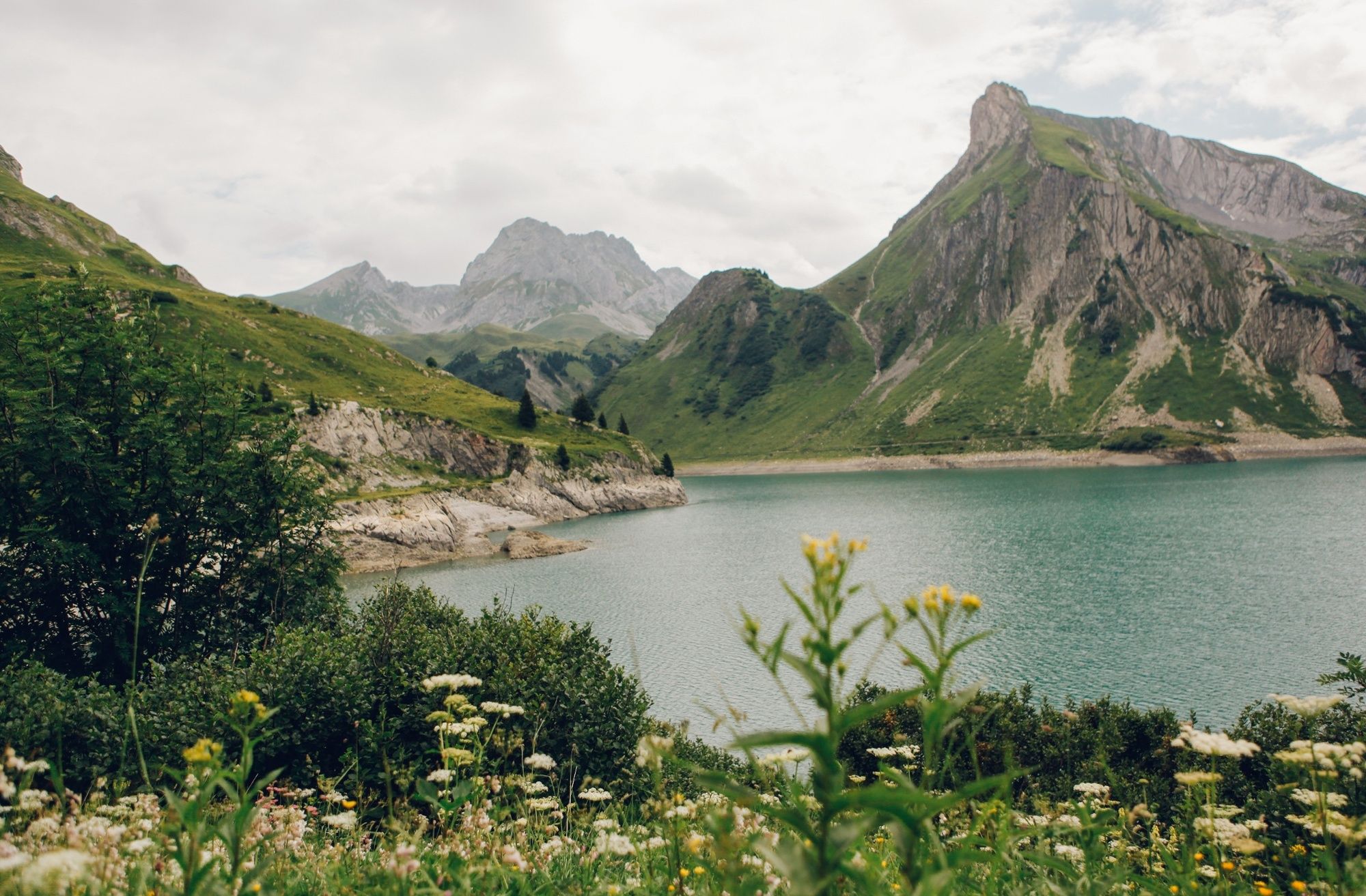
A short circular trail around the Spullersee with refreshment stops, picturesque views and climbing opportunities!
- Moeilijkheid
-
gemakkelijk
- Waardering
-
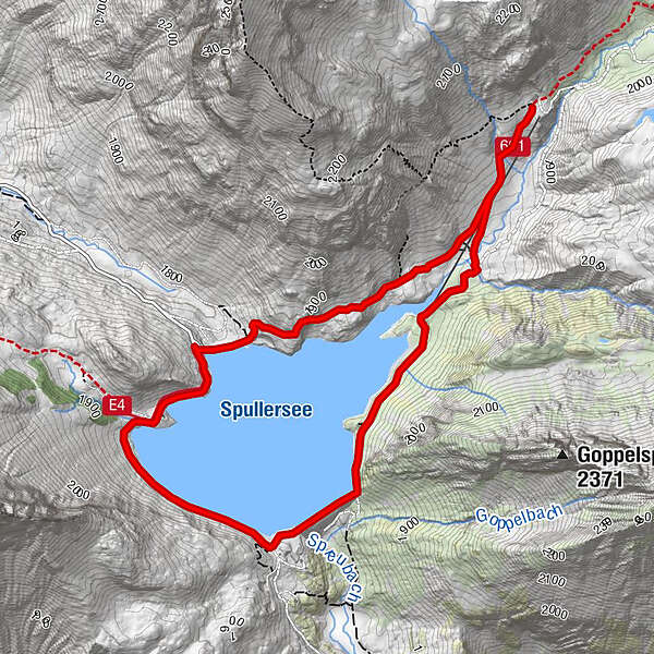
- Route
-
Ravensburger Hütte3,6 km
- Beste seizoen
-
janfebmrtaprmeijunjulaugsepoktnovdec
- Maximale hoogte
- 1.943 m
- Bestemming
-
BusstopSpullersee
- Hoogteprofiel
-

-

-
AuteurDe rondleiding Hiking around the lake Spullersee wordt gebruikt door outdooractive.com op.
GPS Downloads


Algemene info
Verfrissingsstop
Meer rondleidingen in de regio's


