

© Alpenregion Bludenz Tourismus GmbH - Melanie Fleisch

© Alpenregion Bludenz Tourismus GmbH - Melanie Fleisch


© Vorarlberg Tourismus GmbH

- Korte beschrijving
-
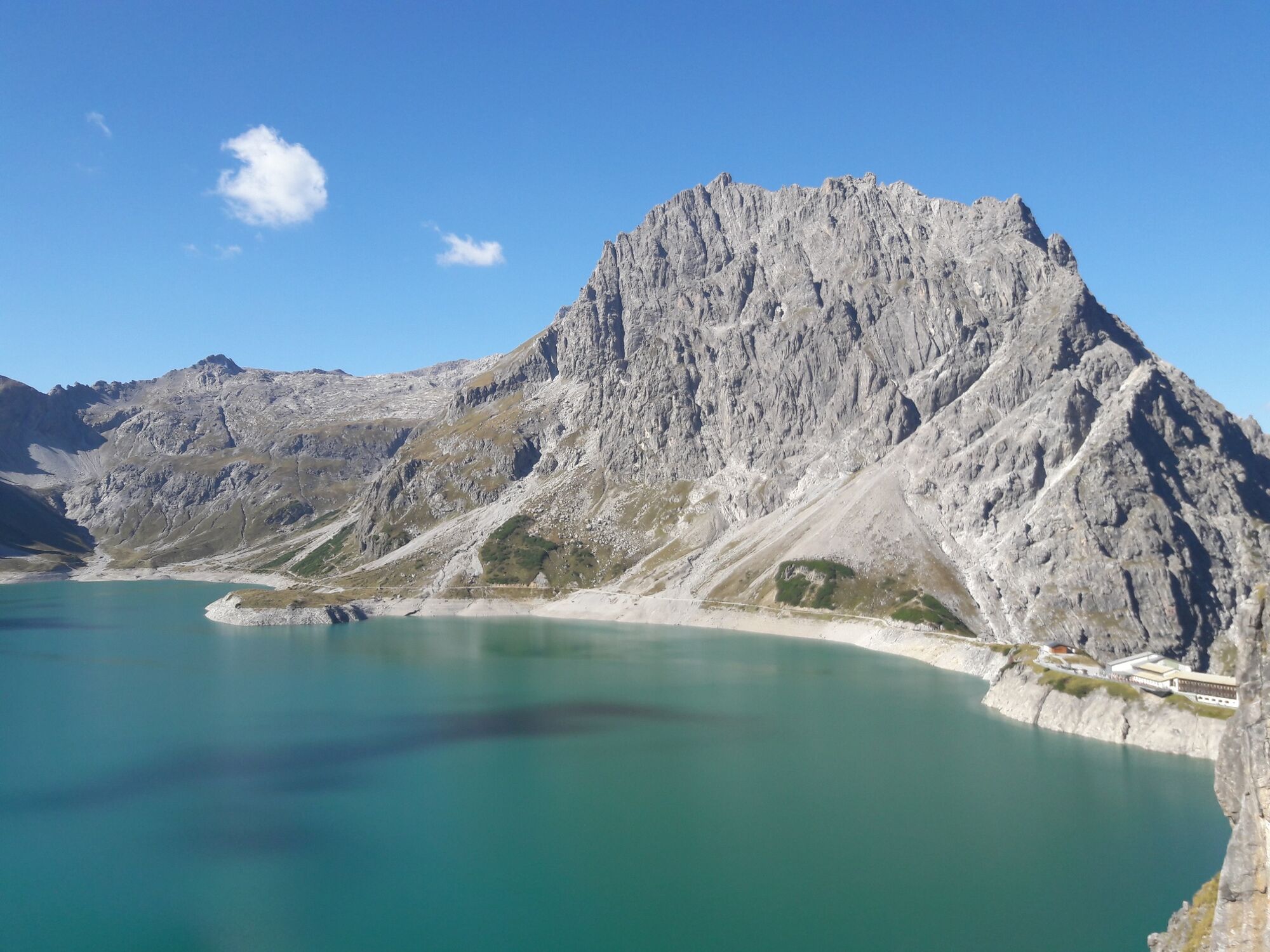
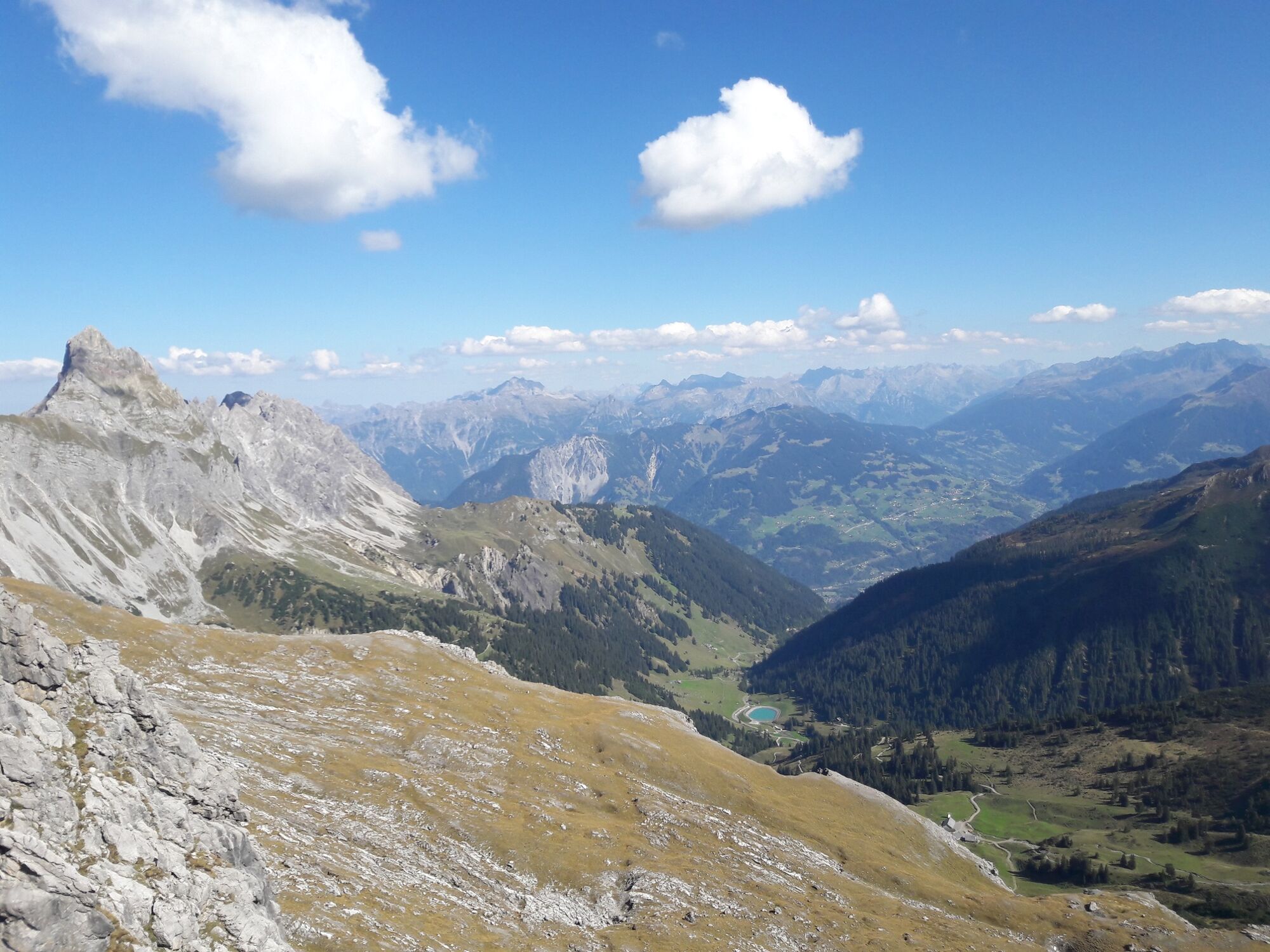
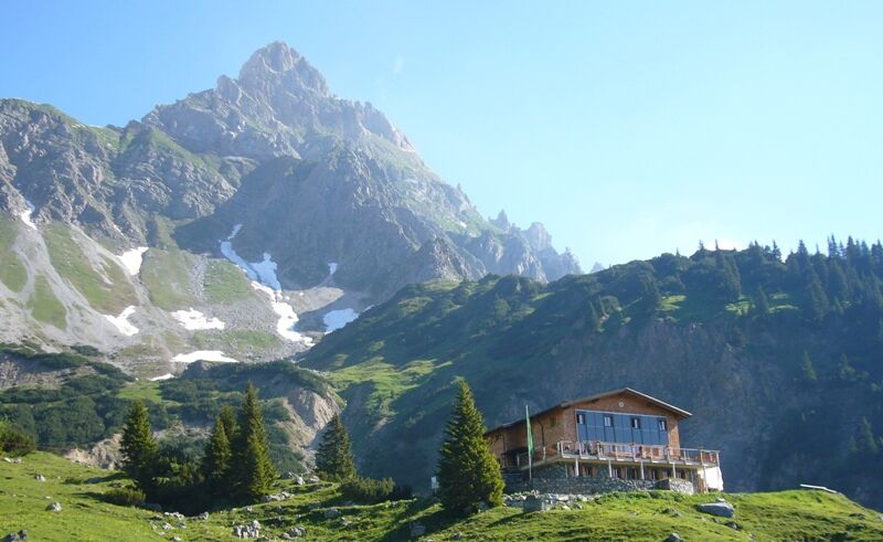
Hike from the Brandnertal valley into the Rellstal valley to the Heinrich-Hueter hut.
- Moeilijkheid
-
medium
- Waardering
-
- Route
-
Douglasshütte0,9 kmHeinrich-Hueter-Hütte5,7 kmDouglasshütte10,5 kmLünerseebahn Bergstation10,5 kmLünerseebahn Talstation11,4 km
- Beste seizoen
-
janfebmrtaprmeijunjulaugsepoktnovdec
- Maximale hoogte
- 2.145 m
- Bestemming
-
Lünersee cable car valley station, Brand
- Hoogteprofiel
-

- Auteur
-
De rondleiding To the Heinrich-Hueter Hut | Brand wordt gebruikt door outdooractive.com op.
GPS Downloads


Algemene info
Verfrissingsstop
Veelbelovend
Meer rondleidingen in de regio's
-
Heidiland
2201
-
Brandnertal
1568
-
Brand
431


