From the Hochtannbergpass to the Widdersteinhütte and back via Tschirggen

Wandelen

© Warth-Schröcken Tourismus - Sebastian Stiphout

© Warth-Schröcken Tourismus - Sebastian Stiphout

© Warth-Schröcken Tourismus - Sebastian Stiphout

© Warth-Schröcken Tourismus - Sebastian Stiphout

© Warth-Schröcken Tourismus - Sebastian Stiphout


- Korte beschrijving
-
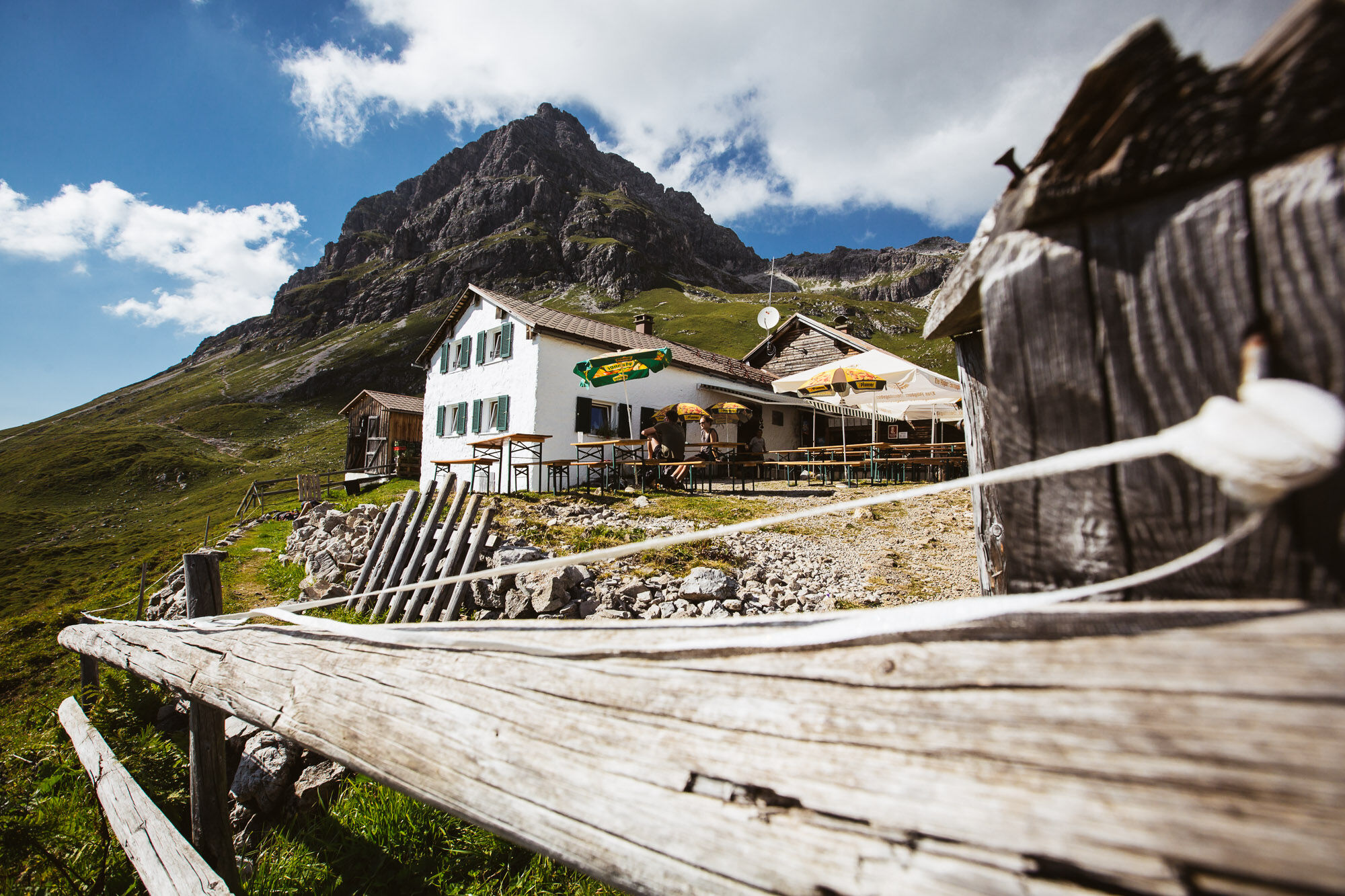
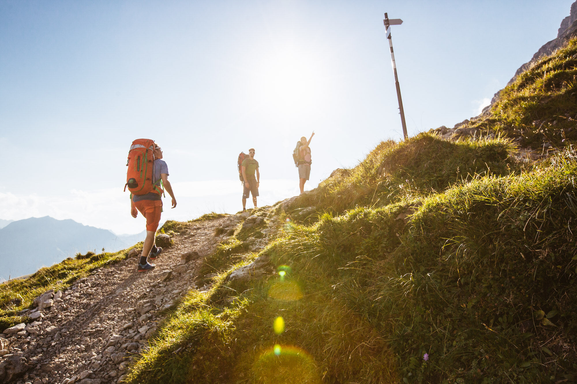
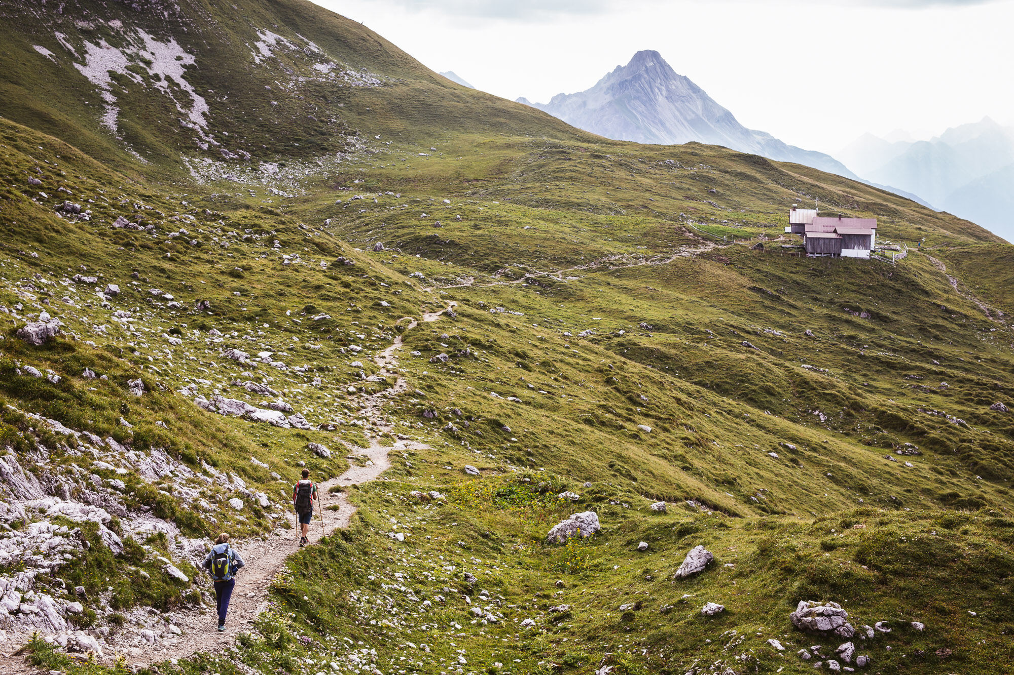
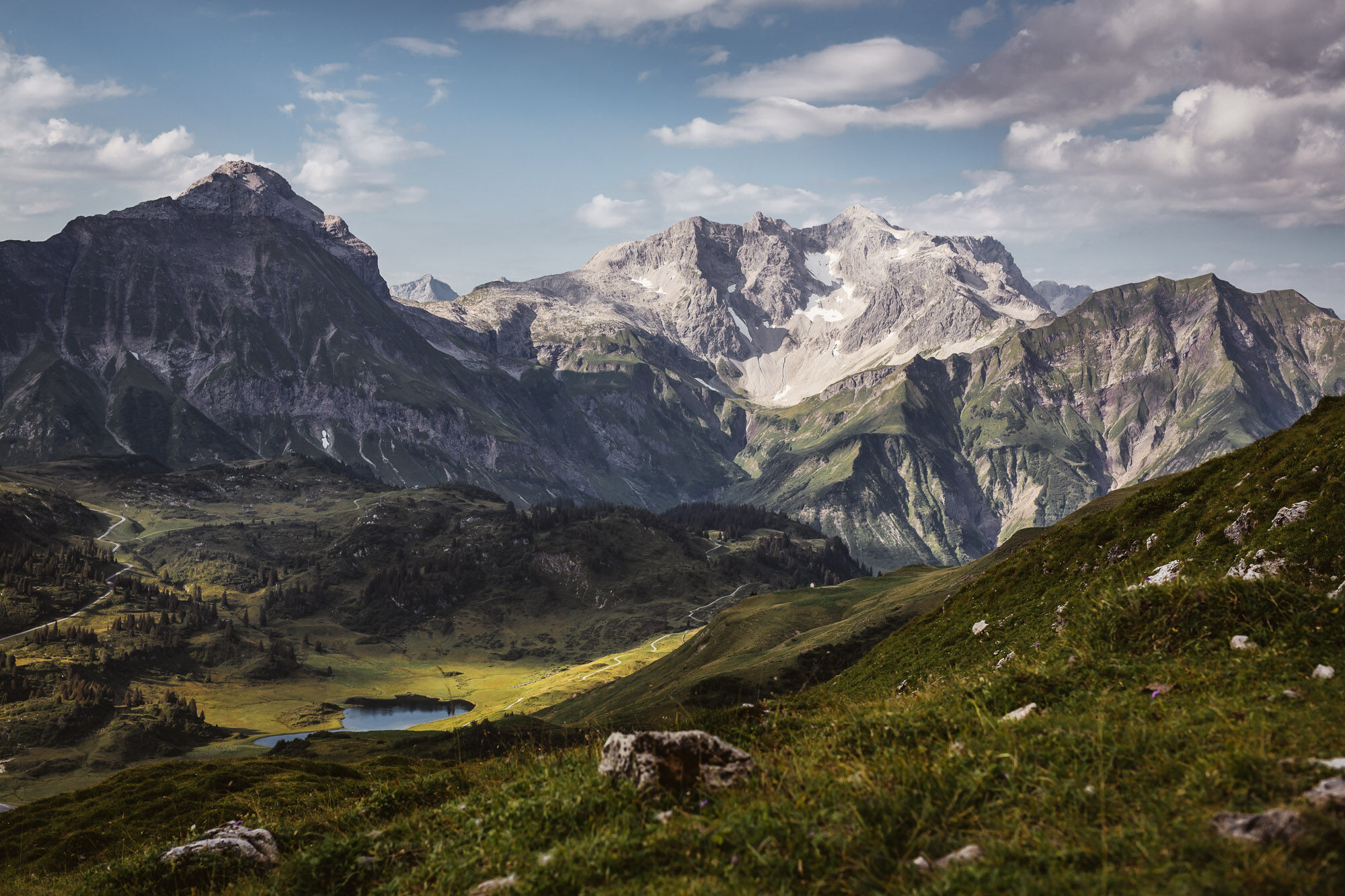
The tour starts at the Hochtannbergpass at an altitude of 1.676 m. The trail leads between wild flowers and fresh alpine herbs towards Widdersteinhütte. The view of the Widdersteinhütte invites you to linger. Now the path takes you eastwards along the plateau towards Koblatpass and Koblathütte. Via the Tschirggen you come downhill again to the main road. From there, the short section goes upwards to the starting point.
- Moeilijkheid
-
medium
- Waardering
-
- Route
-
Widdersteinhütte1,3 kmSchärtle (1.945 m)2,6 km
- Beste seizoen
-
janfebmrtaprmeijunjulaugsepoktnovdec
- Maximale hoogte
- 2.002 m
- Bestemming
-
Hochtannbergpass
- Hoogteprofiel
-


- Auteur
-
De rondleiding From the Hochtannbergpass to the Widdersteinhütte and back via Tschirggen wordt gebruikt door outdooractive.com op.
GPS Downloads


Algemene info
Verfrissingsstop
Veelbelovend
Meer rondleidingen in de regio's
-
Kleinwalsertal
2049
-
Mittelberg
600


