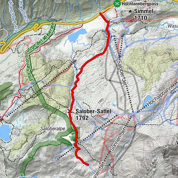
From the Hochtannbergpass over the Salobersattel to the Auenfelderhütte

Wandelen

© Warth-Schröcken Tourismus - Klaus Kranebitter

© Warth-Schröcken Tourismus - Medialounge

- Korte beschrijving
-
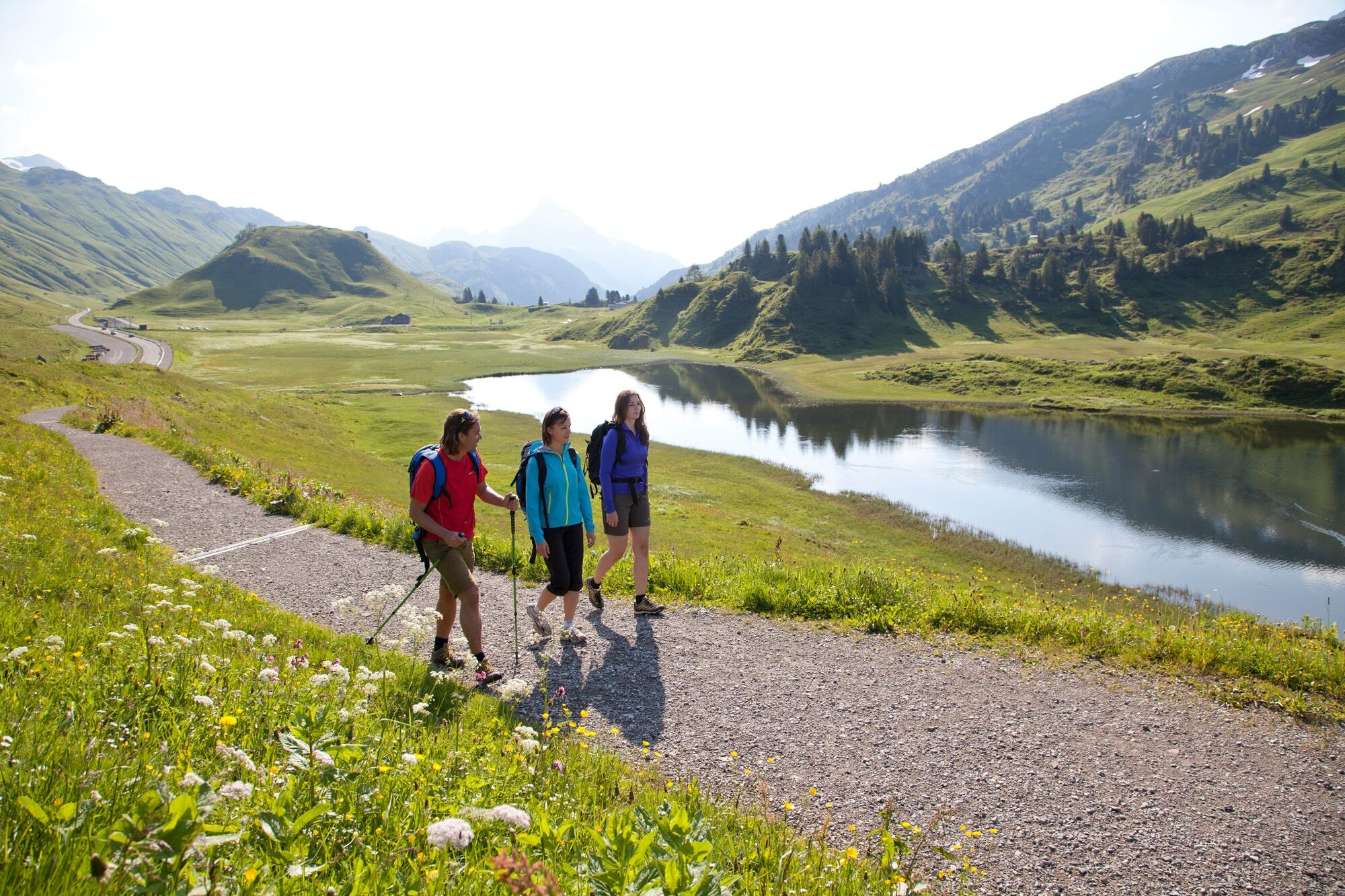
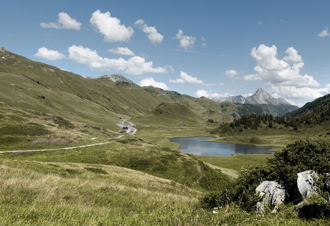
From the Hochtannberg you hike comfortably up to the Salobersattel. At the top of the Salobersattel you should take a short break and take a deep breath before descending towards the Auenfelder Hütte. On your descent to the hut, look at the wonderfully lush Auenfeld meadows. Would you like to take a little break now? No problem, enjoy the snack specialities of the Auenfelder Hütte on the sun terrace or in the rustic restaurant.
- Moeilijkheid
-
medium
- Waardering
-
- Route
-
Alpekörb0,2 kmKörblliftle0,2 kmSB-Restaurant Salober0,3 kmS10,4 kmSalober-Sattel (1.792 m)1,7 kmAuenfelder Hütte2,7 km
- Beste seizoen
-
janfebmrtaprmeijunjulaugsepoktnovdec
- Maximale hoogte
- 1.793 m
- Bestemming
-
Auenfelderhütte
- Hoogteprofiel
-

- Auteur
-
De rondleiding From the Hochtannbergpass over the Salobersattel to the Auenfelderhütte wordt gebruikt door outdooractive.com op.
GPS Downloads


Algemene info
Verfrissingsstop
Fauna
Veelbelovend
Meer rondleidingen in de regio's


