© Alpenregion Bludenz Tourismus GmbH - Wiebke Meyer

© Alpenregion Bludenz Tourismus GmbH - Melanie Fleisch

© Alpenregion Bludenz Tourismus GmbH - Melanie Fleisch
- Korte beschrijving
-
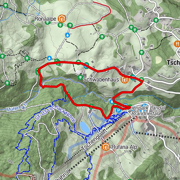
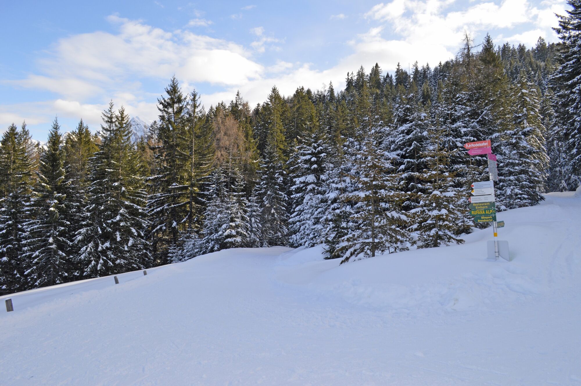
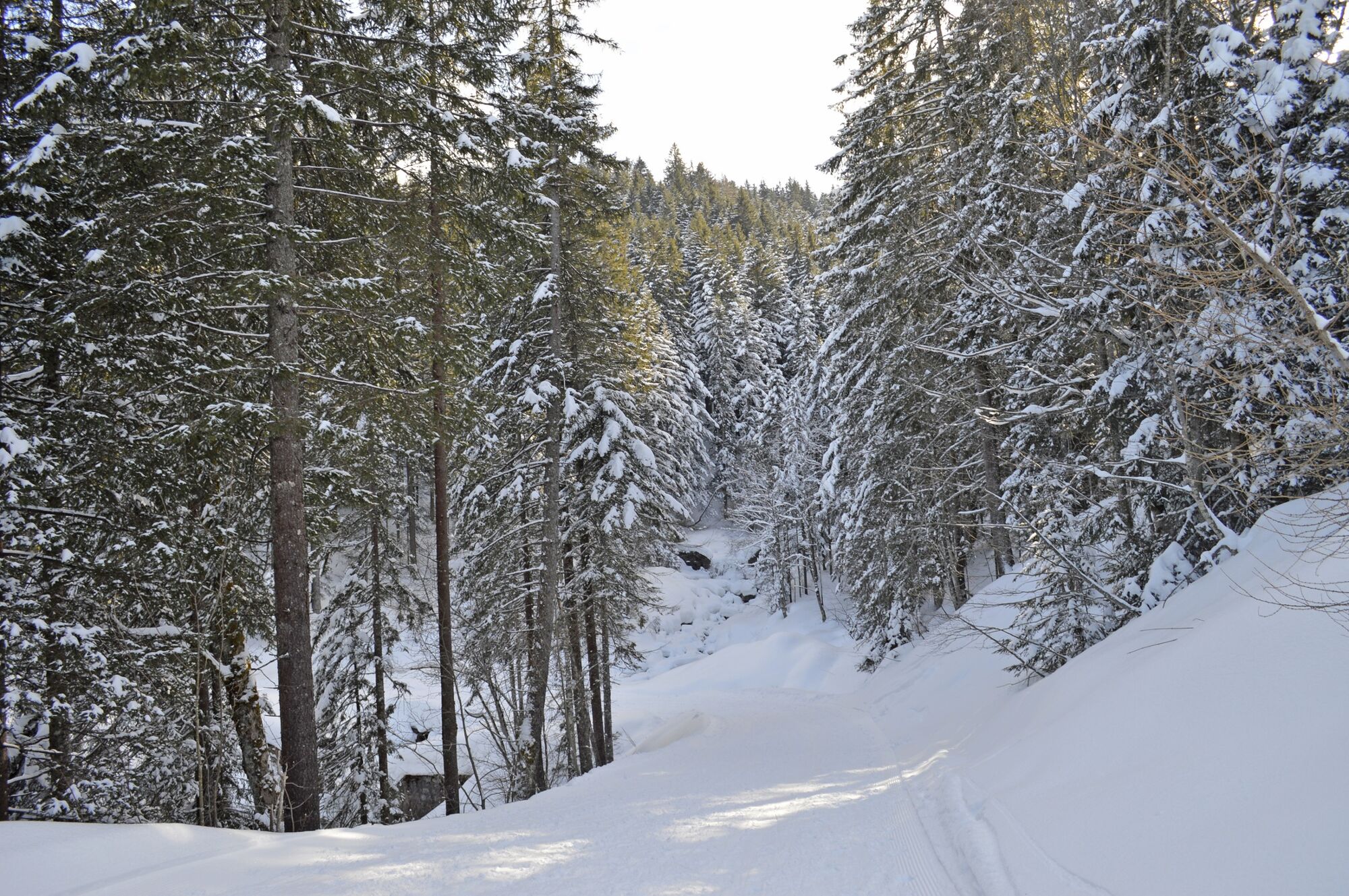
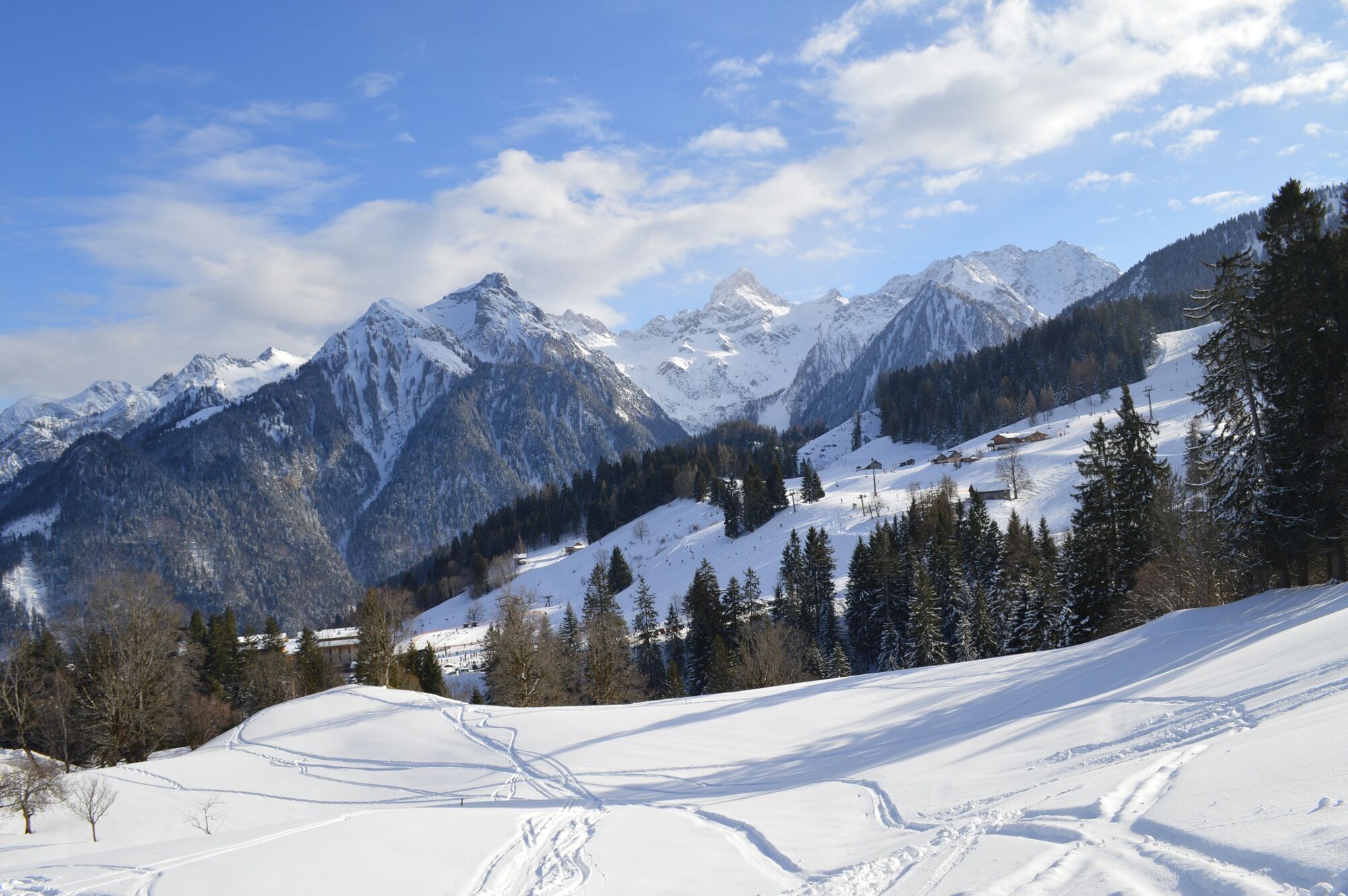
Comfortable and easy winter circular hike on the Tschengla high plateau.
- Moeilijkheid
-
gemakkelijk
- Waardering
-
- Route
-
Unicorn RestaurantSchwabenhaus1,6 kmTschengla1,8 km
- Beste seizoen
-
augsepoktnovdecjanfebmrtaprmeijunjul
- Maximale hoogte
- 1.243 m
- Bestemming
-
Car park Einhornbahn II, Bürserberg
- Hoogteprofiel
-

- Auteur
-
De rondleiding Kohlgrubweg | Bürserberg wordt gebruikt door outdooractive.com op.
GPS Downloads


Algemene info
Verfrissingsstop
Meer rondleidingen in de regio's
-
St. Gallen - Bodensee
115
-
Brandnertal
152
-
Bürserberg
57