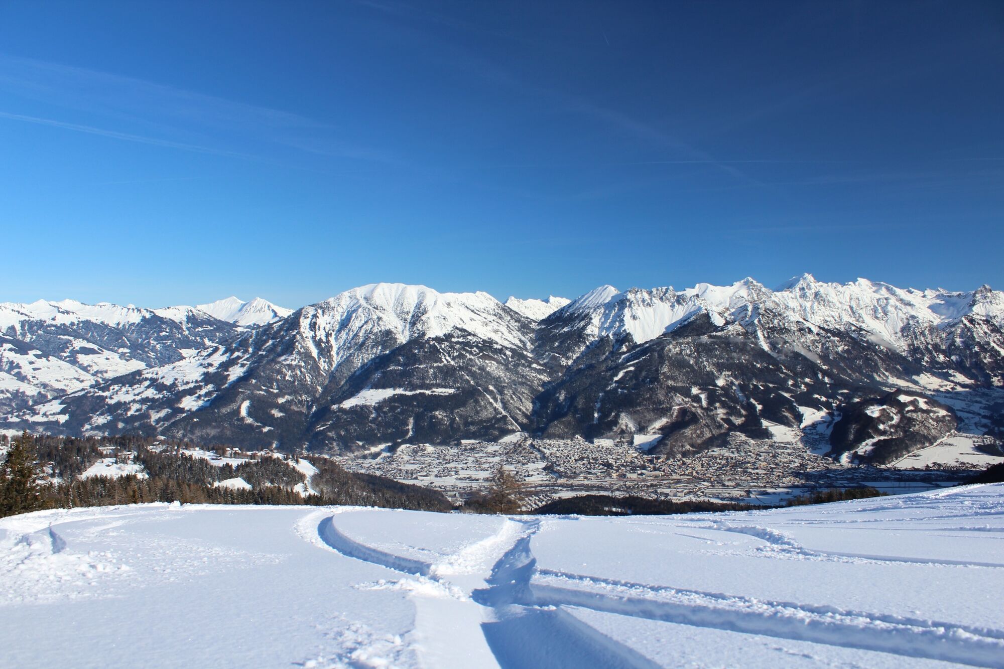
© Alpenregion Bludenz Tourismus GmbH - Klaus Allgäuer
- Korte beschrijving
-
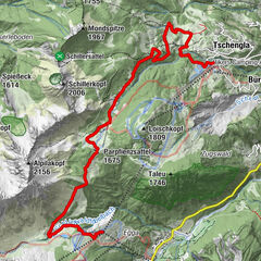
On this winter hiking trail from the Tschengla high plateau via the Burtscha Alpe up to the Burtschasattel, you will be rewarded with breathtaking views of the Zimba and the Alpine town of Bludenz!
- Moeilijkheid
-
gemakkelijk
- Waardering
-
- Route
-
Fuchsbau2,2 kmBurtschaalpe3,0 kmFrööd5,3 kmBurtschaalpe7,5 kmFuchsbau8,4 km
- Beste seizoen
-
augsepoktnovdecjanfebmrtaprmeijunjul
- Maximale hoogte
- 1.665 m
- Bestemming
-
Car park Tschengla, Bürserberg
- Hoogteprofiel
-

- Auteur
-
De rondleiding Burtschaweg | Bürserberg wordt gebruikt door outdooractive.com op.
GPS Downloads


Algemene info
Verfrissingsstop
Veelbelovend
Meer rondleidingen in de regio's
-
Appenzellerland
94
-
Brandnertal
152
-
Brand
36