
Toerdatums
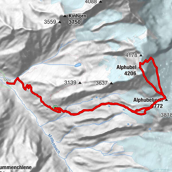
15,51km
2.489
- 4.199m
1.494hm
1.713hm
11:06h
- Moeilijkheid
-
medium
- Waardering
-
- Route
-
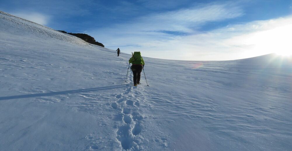
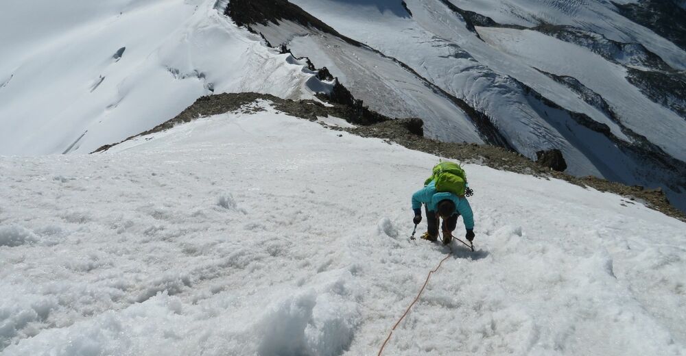
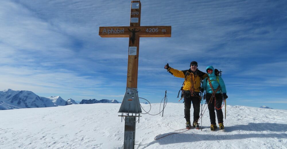
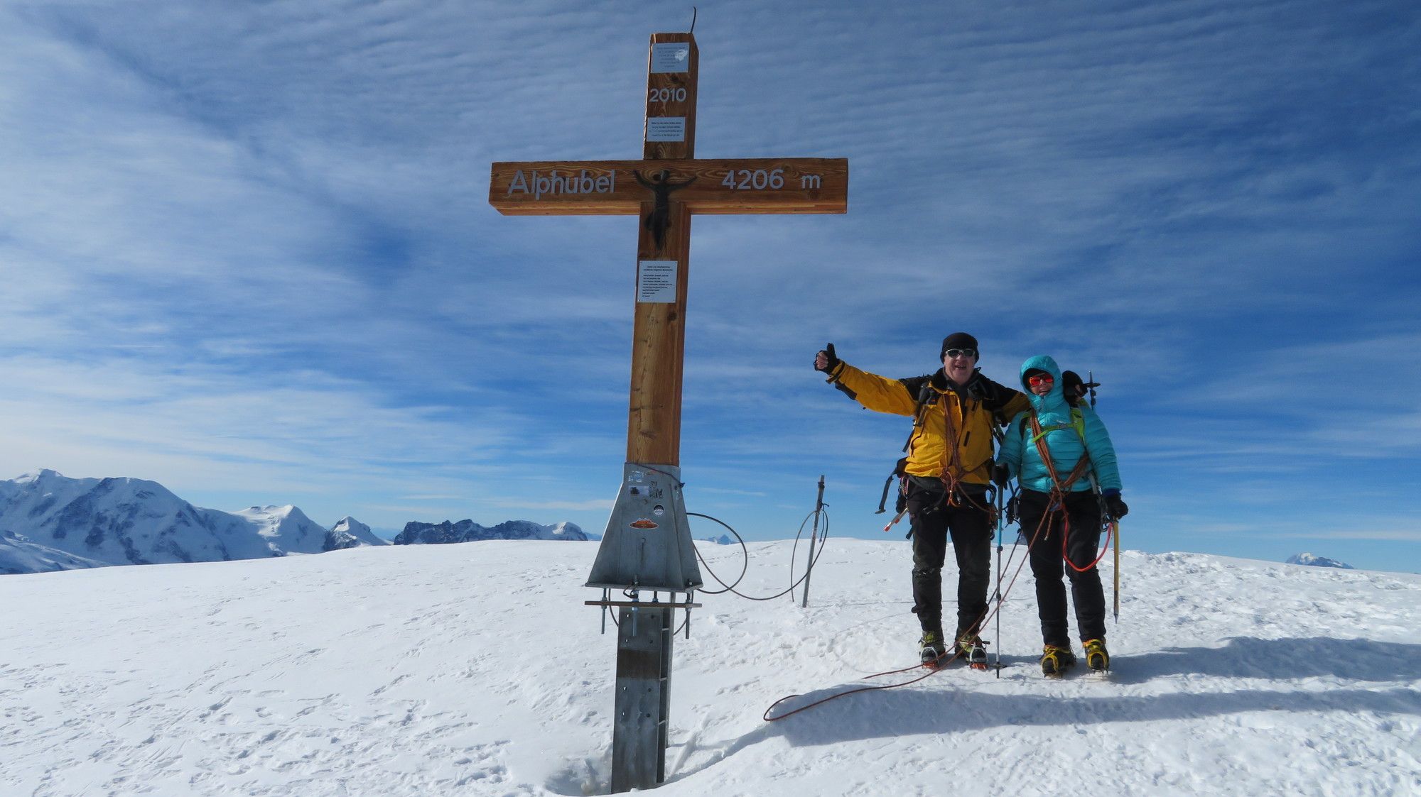
Täschhütte (2.701 m)0,0 kmAlphubeljoch (3.772 m)4,3 kmAlphubel (4.206 m)5,8 kmAlphubeljoch (3.772 m)8,0 kmTäschhütte (2.701 m)12,2 kmOttafe (2.205 m)15,5 km
- Maximale hoogte
- 4.199 m


GPS Downloads


Meer rondleidingen in de regio's
-
Oberwallis
40
-
Mattertal
25
-
Täsch
17


, Nordwand und Zmuttgrat (rechts).")


