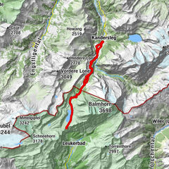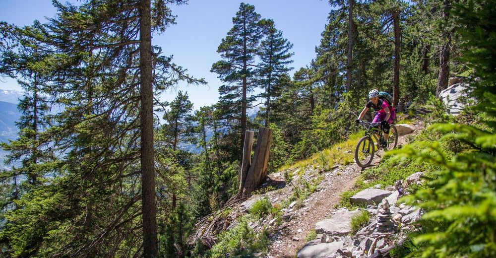
© Swiss Alpine Adventure - Dave O'Riordan
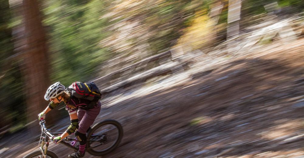
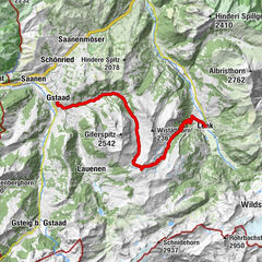
© Swiss Alpine Adventure - Dave O'Riordan
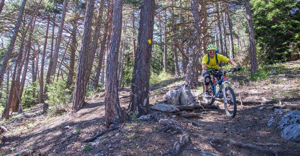
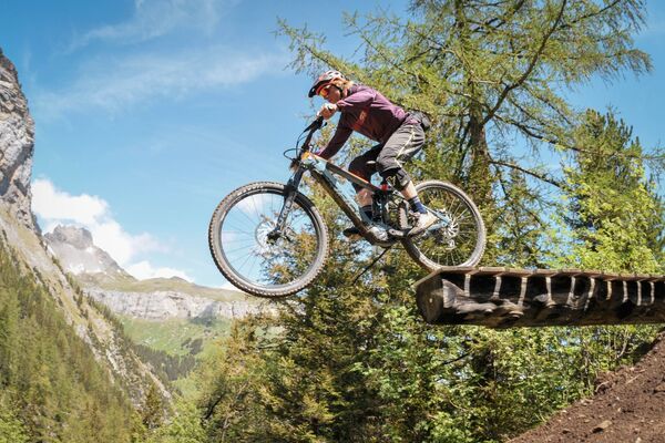
© Swiss Alpine Adventure - Dave O'Riordan
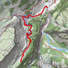
© Swiss Alpine Adventure - Dave O'Riordan
© Swiss Alpine Adventure - Dave O'Riordan
- Korte beschrijving
-
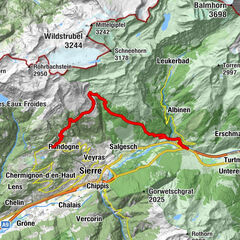
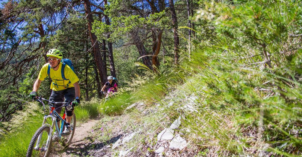
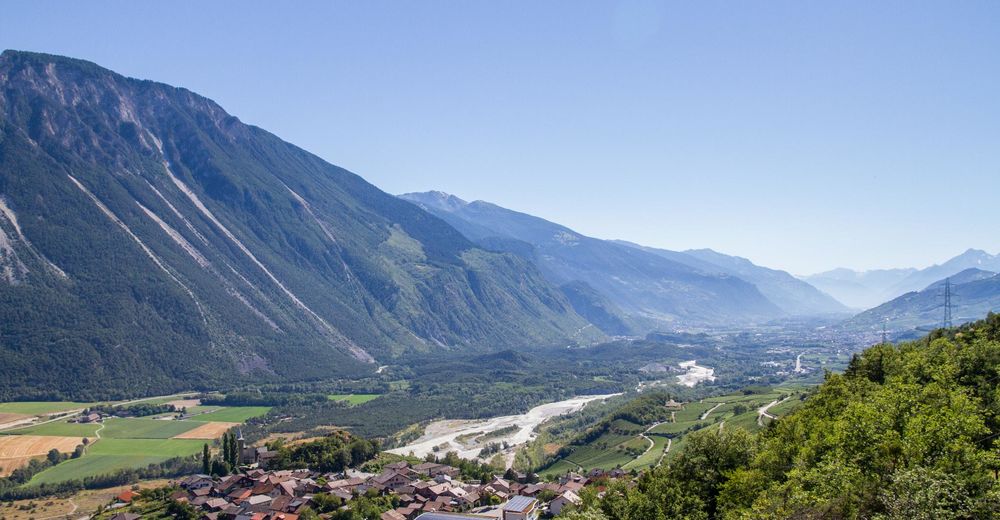
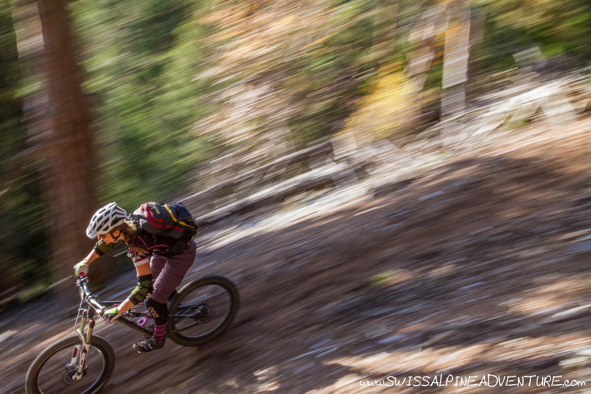
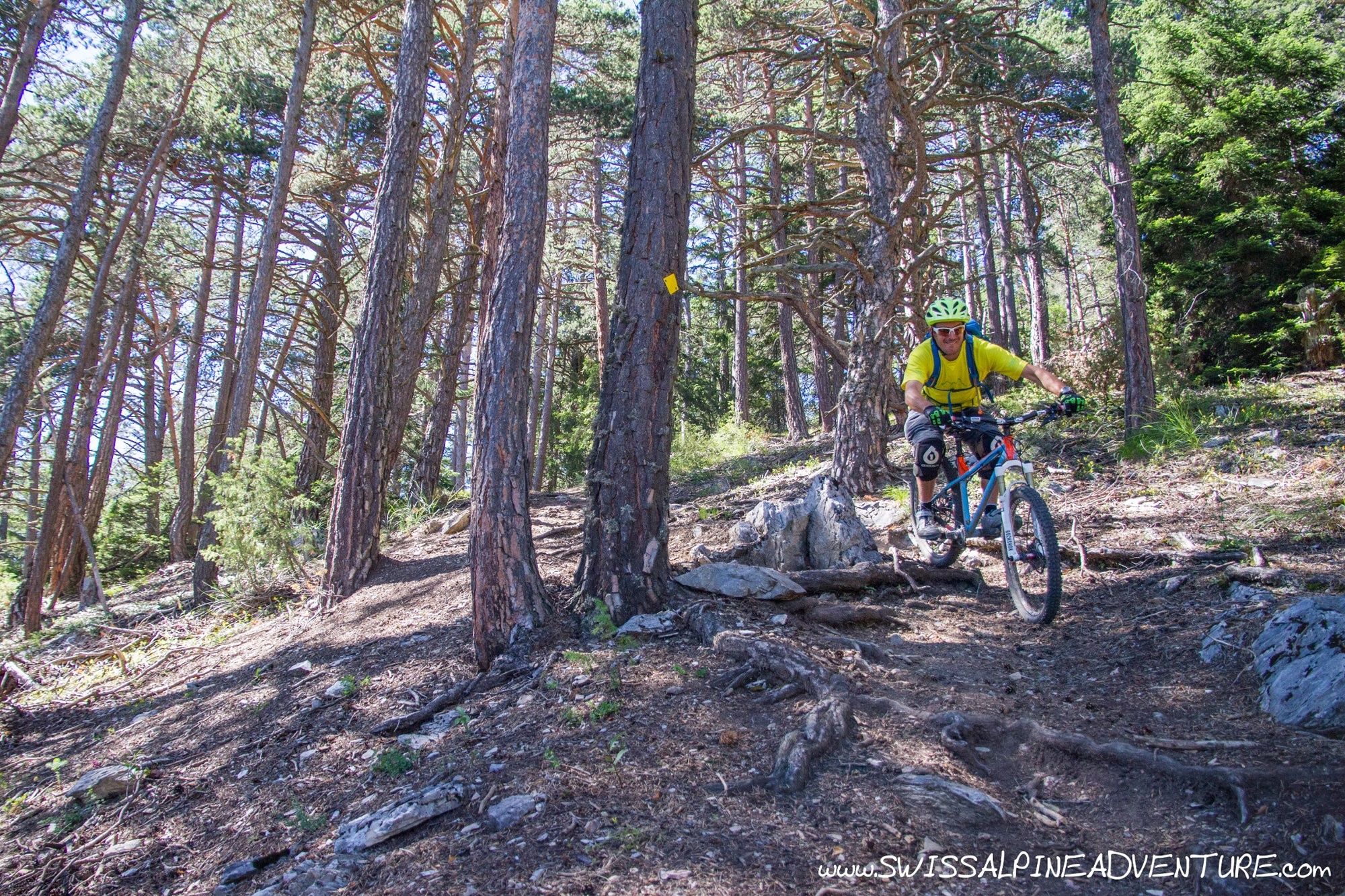
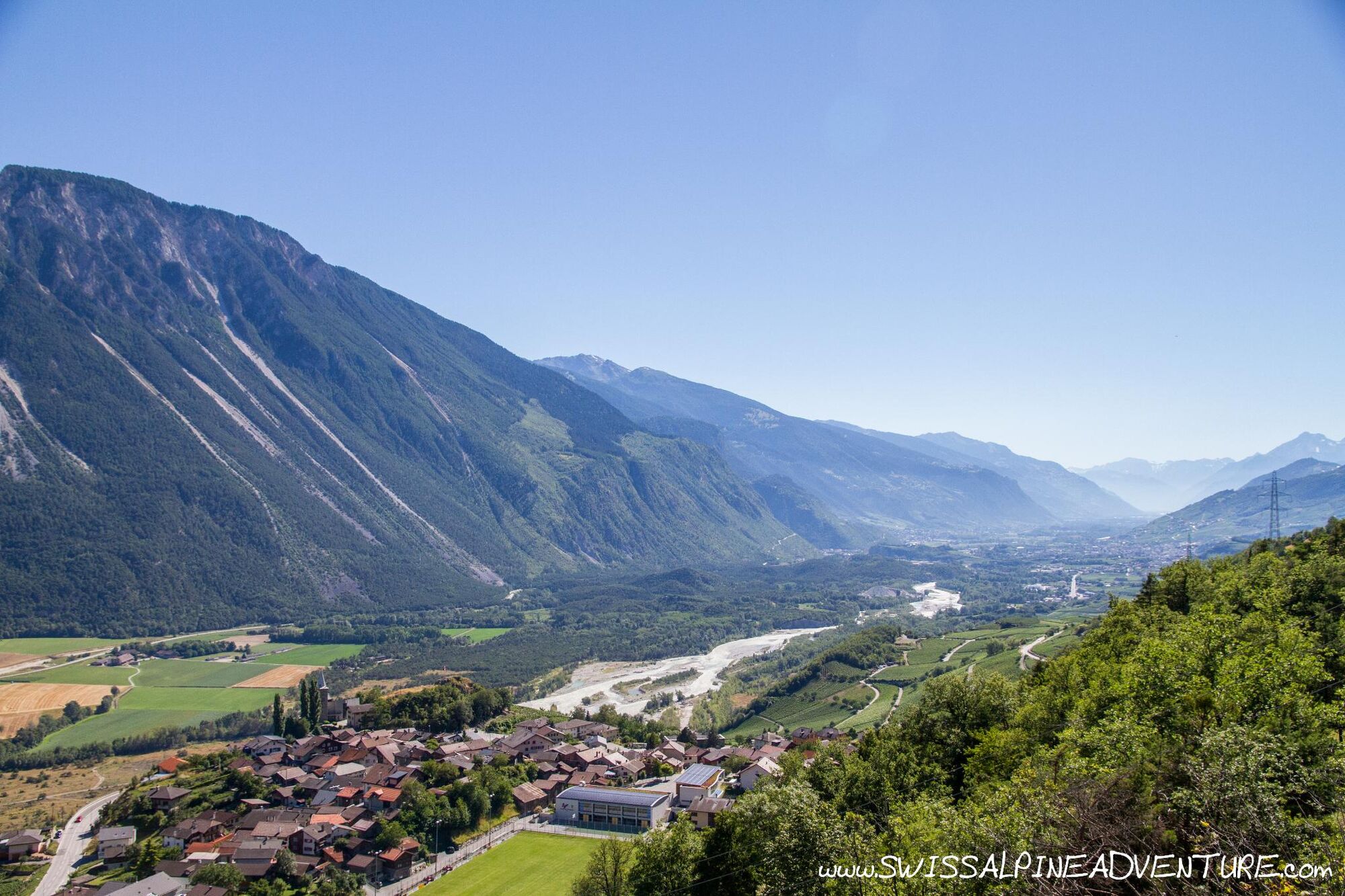
A nice scenic tour with a long and very flowy trail above the Rhone valley to Varen followed by an XC trail along the Bisse (waterway) back to Sierre.
- Moeilijkheid
-
medium
- Waardering
-
- Route
-
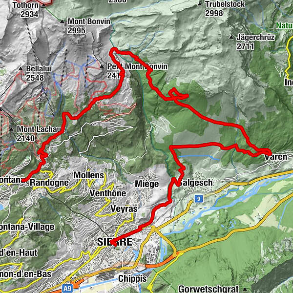
Montana Gare (1.471 m)Clairmont0,4 kmLa Comba0,7 kmZaumiau1,3 kmLe Tsaumiau1,7 kmPlumachit4,6 kmVaronne18,7 kmGlarey27,5 kmSiders (534 m)29,1 km
- Beste seizoen
-
janfebmrtaprmeijunjulaugsepoktnovdec
- Maximale hoogte
- 1.997 m
- Bestemming
-
Sierre
- Hoogteprofiel
-
 © outdooractive.com


-

-
AuteurDe rondleiding Varnerwald wordt gebruikt door outdooractive.com op.
GPS Downloads


Rijbanen
Trial
Algemene info
Veelbelovend
Meer rondleidingen in de regio's
-
Oberwallis
210
-
Crans - Montana
128
-
Salgesch
42