Toerdatums
24,38km
1.340
- 2.174m
816hm
832hm
04:00h
- Korte beschrijving
-
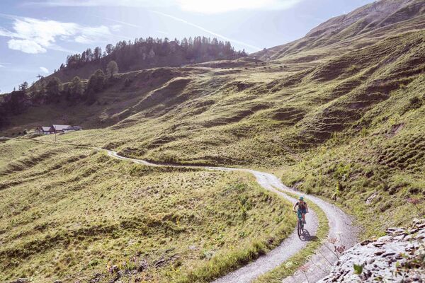
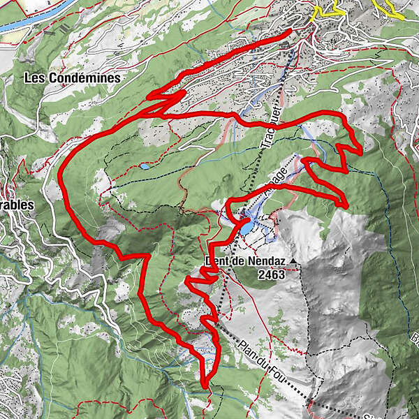
Leave for the discovery of the centuries-old larches of Balavaux, and enjoy the grandiose panoramas thanks to this circuit linking Haute-Nendaz to Tracouet.
- Moeilijkheid
-
medium
- Waardering
-
- Route
-
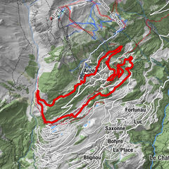
Haute Nendaz (1.365 m)Chalet des Alpes9,9 kmCabane de Balavaux12,0 kmHaute Nendaz (1.365 m)24,4 km
- Beste seizoen
-
janfebmrtaprmeijunjulaugsepoktnovdec
- Maximale hoogte
- 2.174 m
- Bestemming
-
Haute-Nendaz (sports centre)
- Hoogteprofiel
-
© outdooractive.com
- Auteur
-
De rondleiding Tracouet roundtrip wordt gebruikt door outdooractive.com op.
GPS Downloads
Algemene info
Verfrissingsstop
Flora
Fauna
Veelbelovend
Meer rondleidingen in de regio's
-
Thyon les Collons
181
-
Coteaux du Soleil
49
-
Nendaz
4


