© Valais/Wallis Promotion - Christian Pfammatter


- Korte beschrijving
-
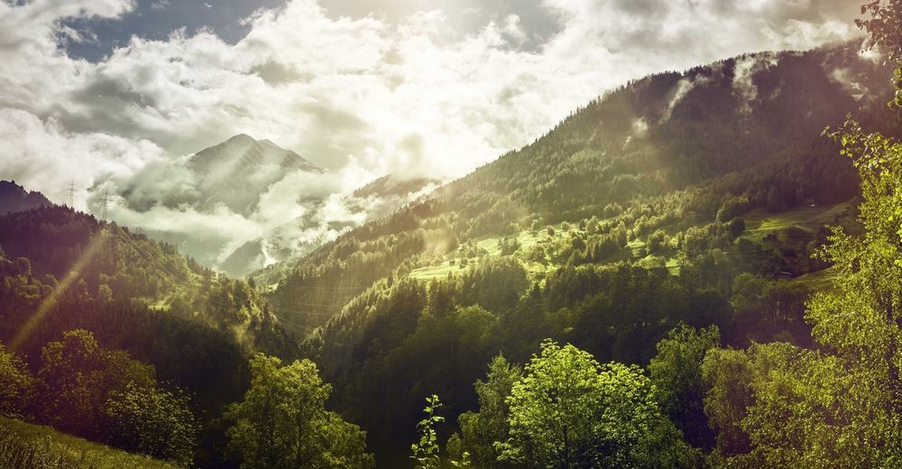
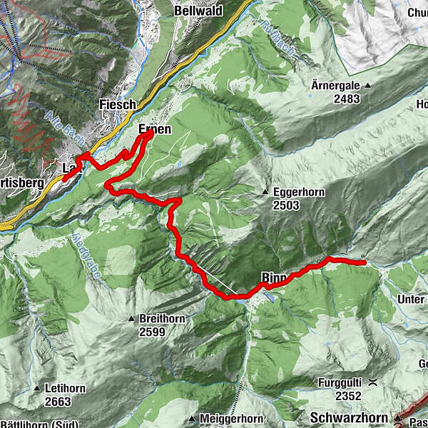
A short ascent to reach a little corner of paradise! Precious stones, stonemasons and the sunshine for which the Binntal valley is famous will add a whole new dimension to your tour.
- Moeilijkheid
-
gemakkelijk
- Waardering
-
- Route
-
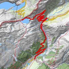
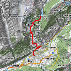
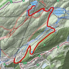
Lax (1.045 m)Kirche St. Anna0,2 kmLax (1.039 m)0,3 kmBellevue0,3 kmAntoniuskapelle2,0 kmGommer-Stubä2,1 kmNiederernen2,2 kmErnen3,5 kmAusserbinn (1.304 m)7,1 kmJägerheim7,1 kmLätzes Üsserbi8,0 kmHubu8,4 kmZe Binne11,6 kmWilere12,2 kmBinn (1.400 m)12,4 kmSt. Antonius12,4 kmZur Brücke12,4 kmHolzerhiischere13,7 kmGiesse13,7 kmRippje14,9 kmImfeld14,9 kmRestaurant Imfeld14,9 kmFäld14,9 km
- Beste seizoen
-
janfebmrtaprmeijunjulaugsepoktnovdec
- Maximale hoogte
- 1.516 m
- Bestemming
-
Fäld, Binntal
- Hoogteprofiel
-
 © outdooractive.com

- Auteur
-
De rondleiding Binntal - Scenic & side valleys wordt gebruikt door outdooractive.com op.
GPS Downloads


Algemene info
Verfrissingsstop
Cultureel/Historisch
Tip voor insiders
Veelbelovend
Meer rondleidingen in de regio's
-
Aletsch Arena
55
-
Brig Simplon
31
-
Fiesch
11