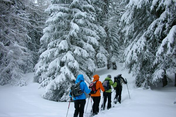
© Grächen und St. Niklaus Tourismus und Gewerbe
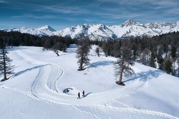
© Grächen und St. Niklaus Tourismus und Gewerbe - Nicolas Mari
© Grächen und St. Niklaus Tourismus und Gewerbe - Nicolas Mari

- Korte beschrijving
-
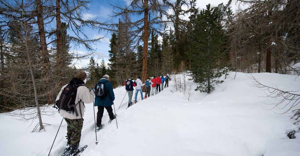
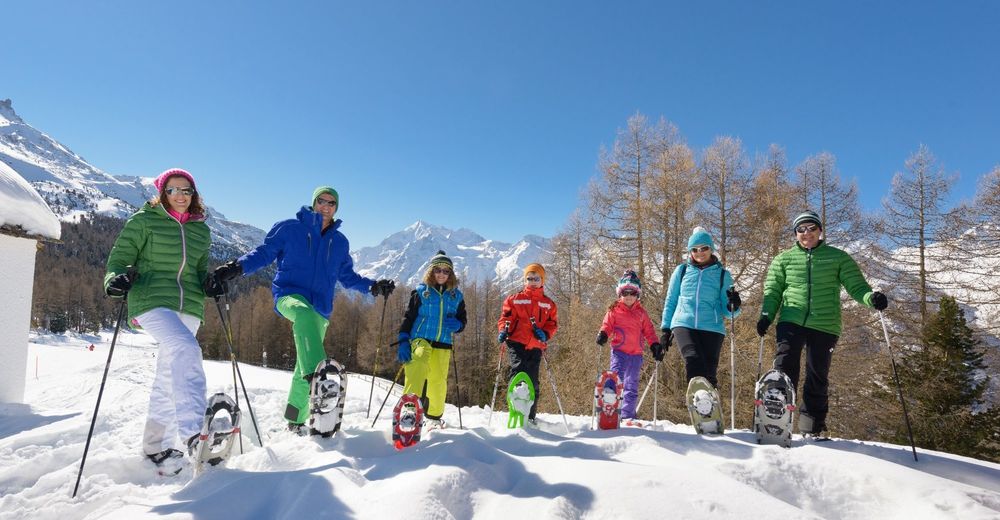
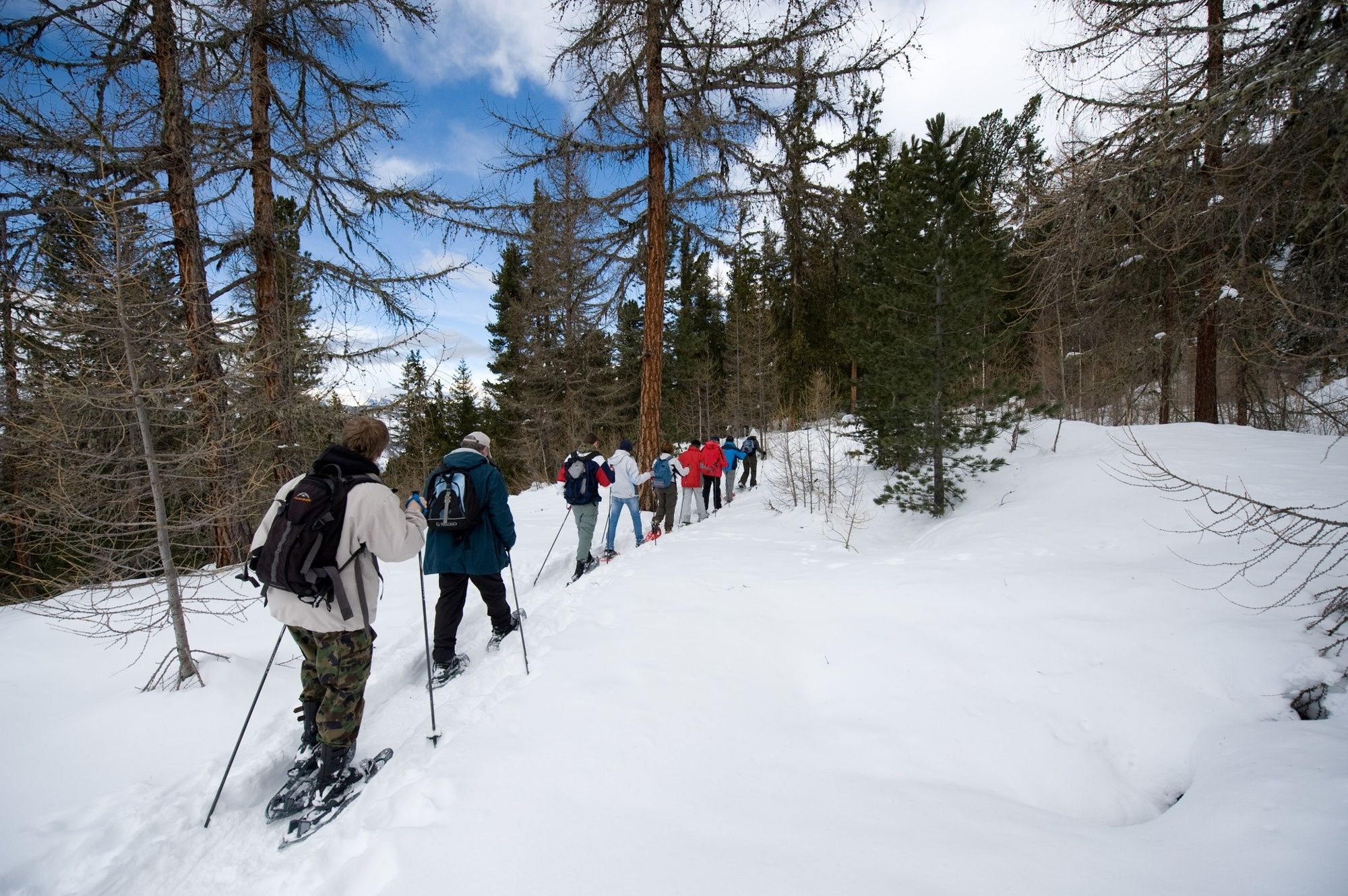
If there’s one thing you need for the Wannihorn Trail in Grächen, it’s physical fitness. You’ll need to be in good shape for this fairly steep climb, but it’s definitely worth the effort: the view from the Wannihorn is breathtaking.
- Moeilijkheid
-
zwaar
- Waardering
-
- Beste seizoen
-
augsepoktnovdecjanfebmrtaprmeijunjul
- Maximale hoogte
- 2.591 m
- Bestemming
-
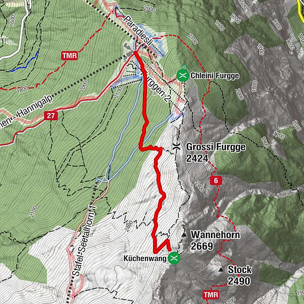
Wannihorn
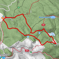
- Hoogteprofiel
-
 © outdooractive.com
- Auteur
-
De rondleiding Hannigalp Wannihorn Trail wordt gebruikt door outdooractive.com op.
GPS Downloads


Algemene info
Tip voor insiders
Veelbelovend
Meer rondleidingen in de regio's
-
Oberwallis
194
-
Unterbäch
108
-
Grächen - St. Niklaus
32