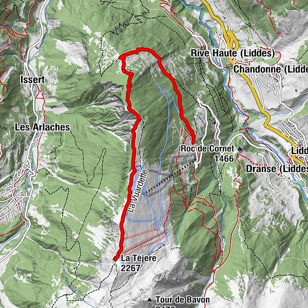
Rando-parc "Vichères Movement tracks": La Téjeur

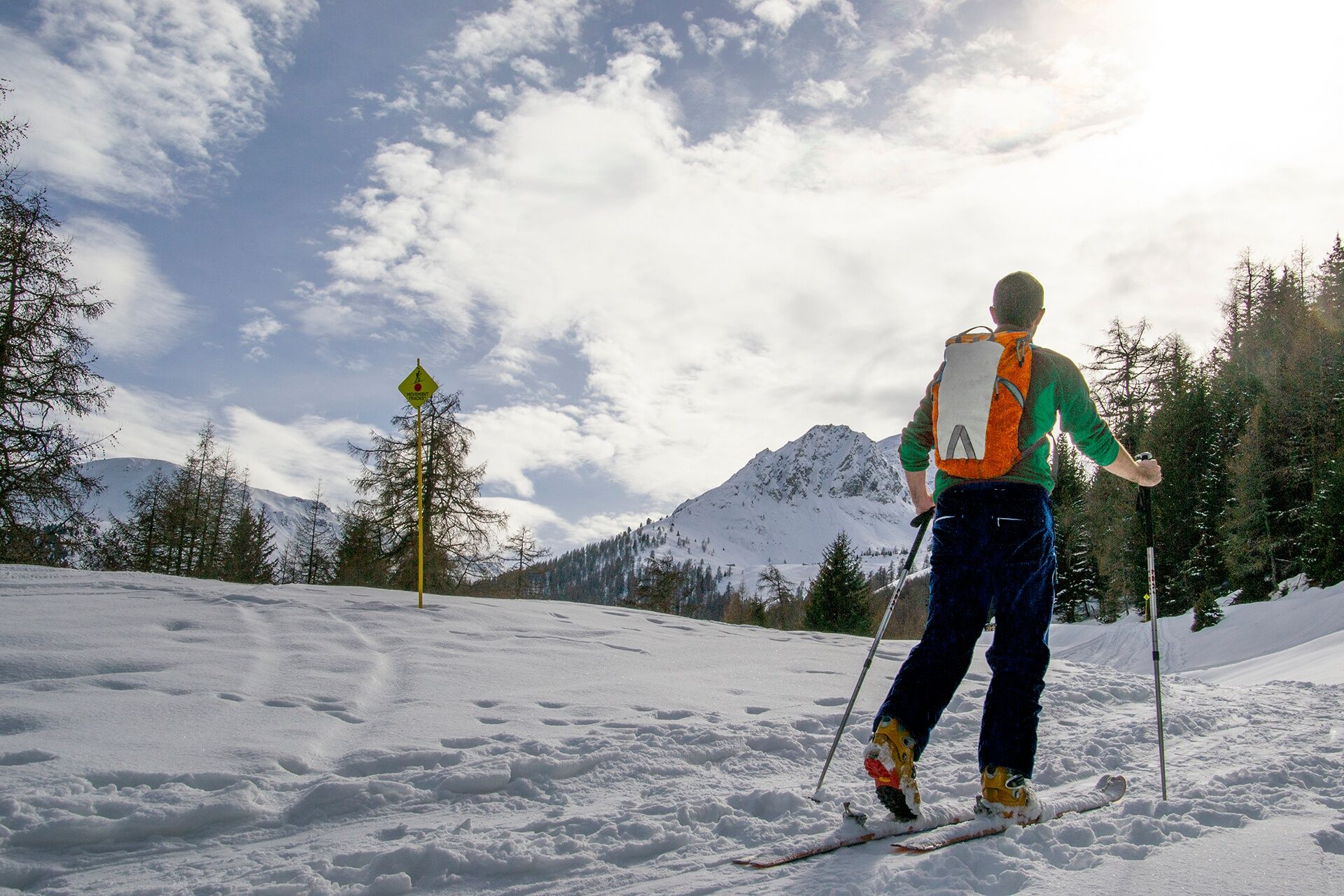
Toerskitocht


- Korte beschrijving
-
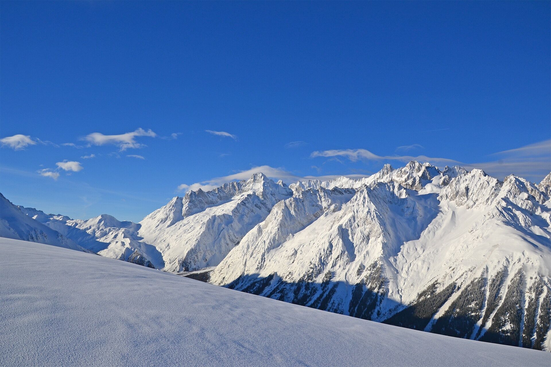
From the forest of Vichères to the ridge between the Entremont Valley and the Val Ferret!
- Moeilijkheid
-
medium
- Waardering
-
- Route
-
La Tèjere (2.267 m)6,6 km
- Beste seizoen
-
augsepoktnovdecjanfebmrtaprmeijunjul
- Maximale hoogte
- 2.263 m
- Bestemming
-
Roadside parking spaces
- Hoogteprofiel
-
 © outdooractive.com
- Auteur
-
De rondleiding Rando-parc "Vichères Movement tracks": La Téjeur wordt gebruikt door outdooractive.com op.
GPS Downloads


Algemene info
Verfrissingsstop
Veelbelovend
Meer rondleidingen in de regio's
-
Unterwallis
93
-
Pays du Saint-Bernard
30
-
Orsières
10