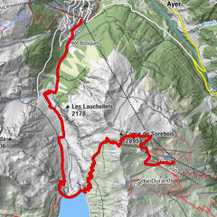
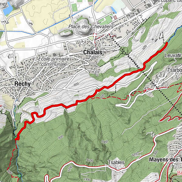
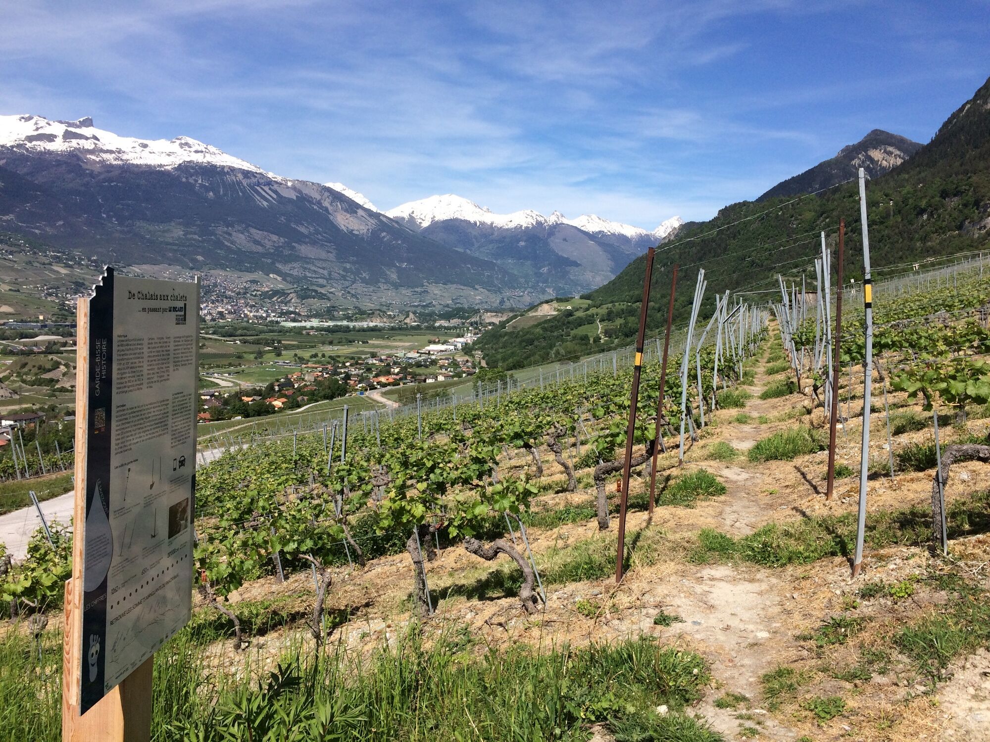
De Chalais aux chalets ... en passant par LE RICARD

Themapad


- Korte beschrijving
-
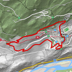
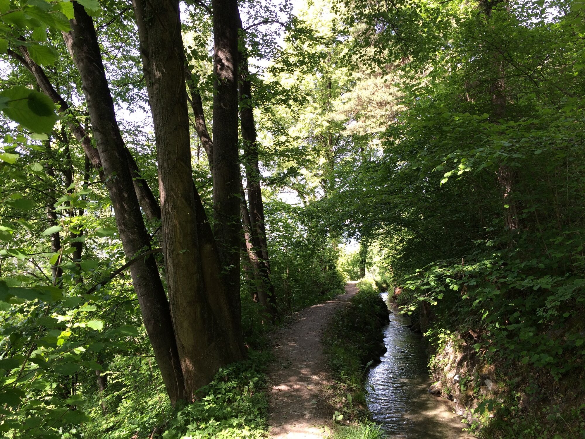
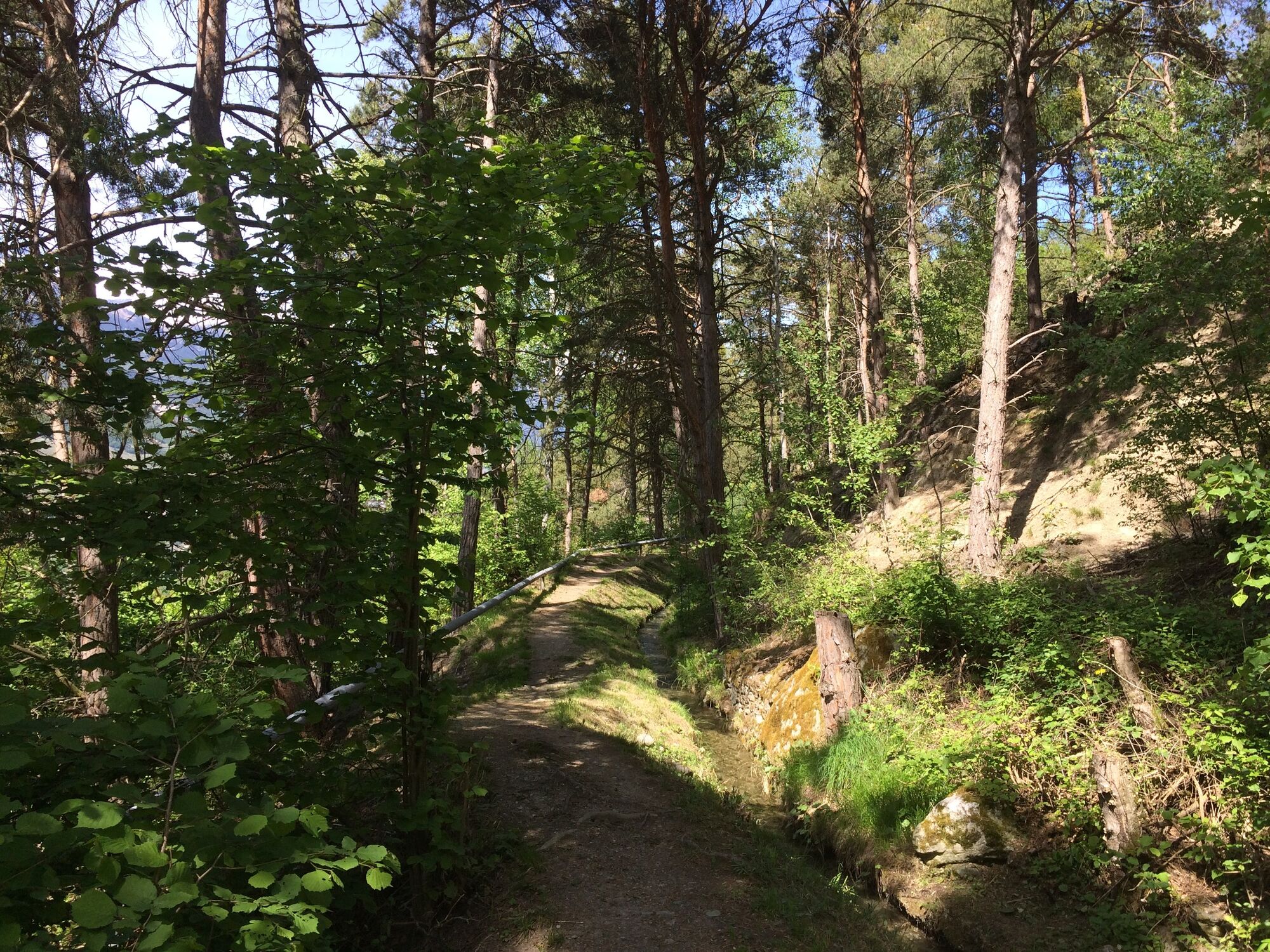
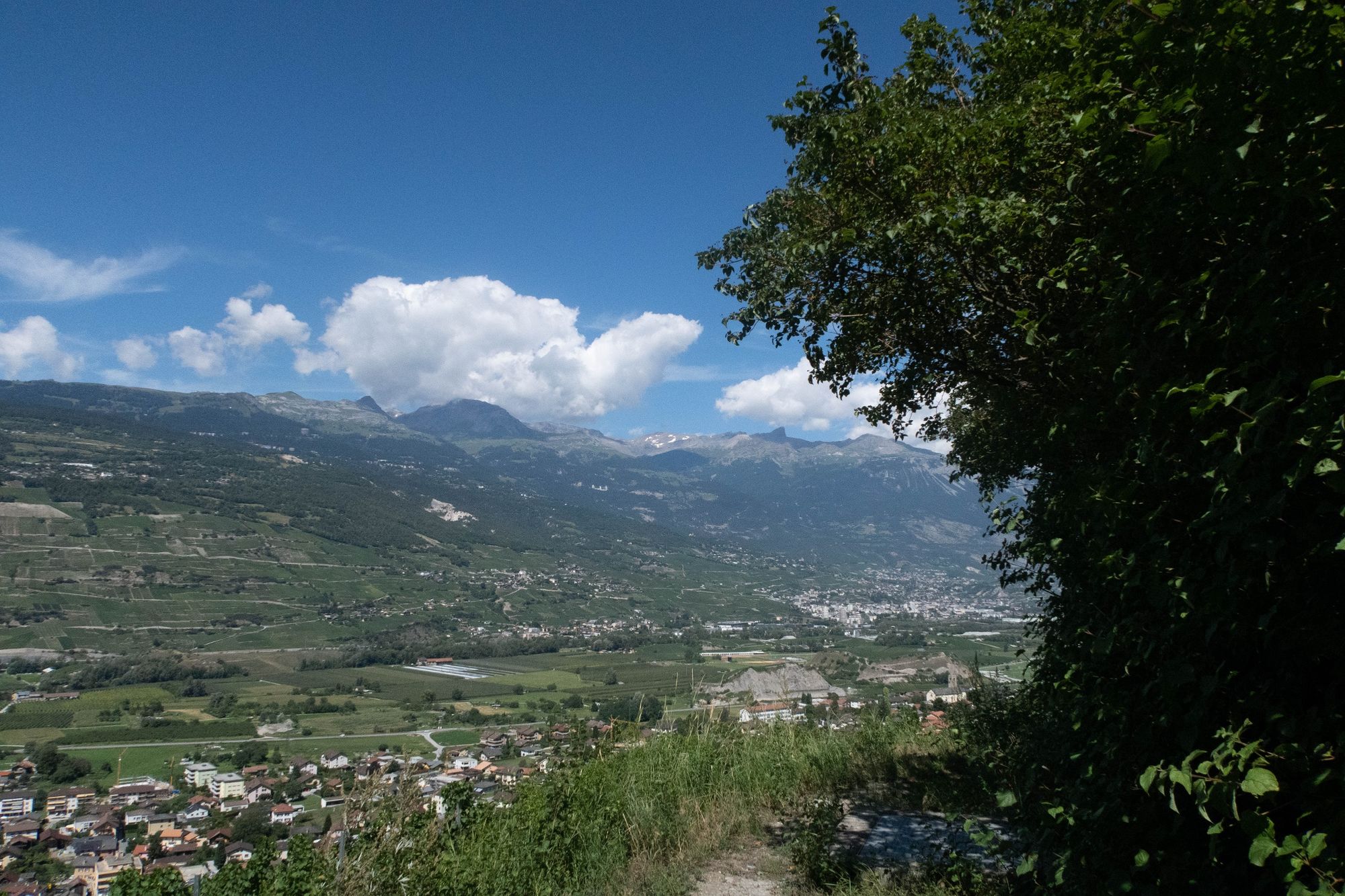
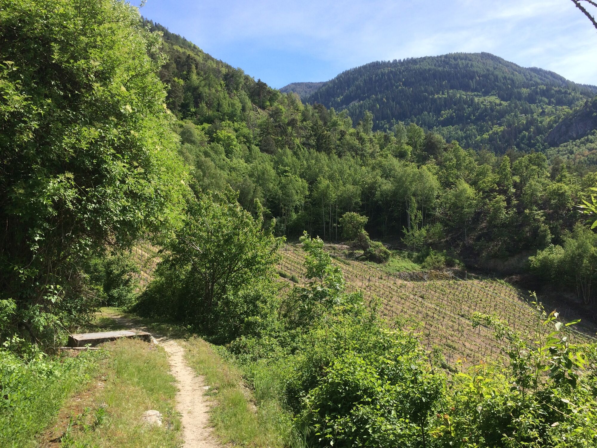
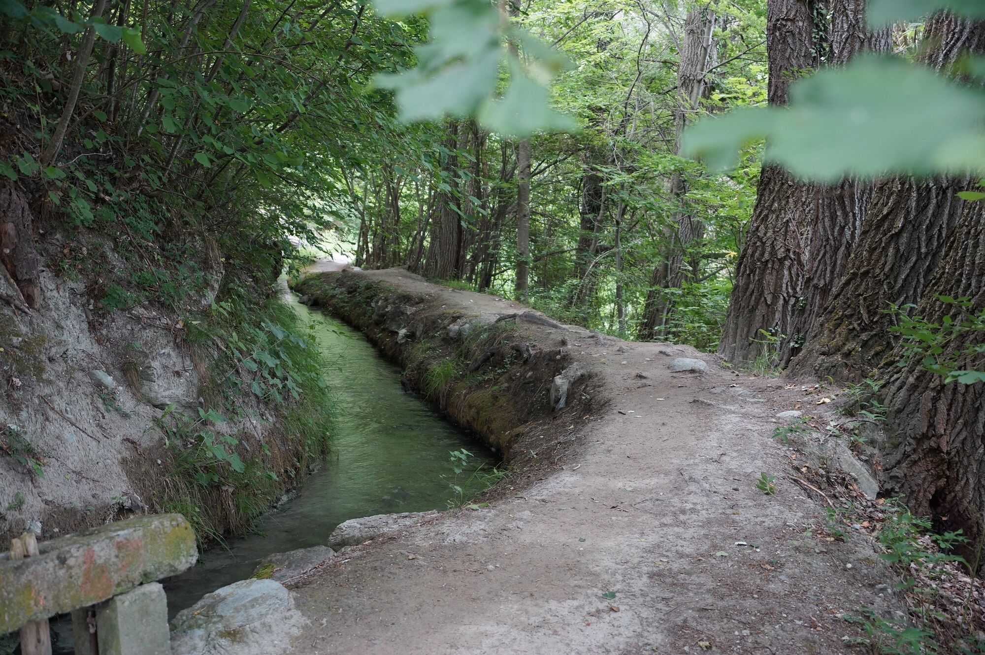
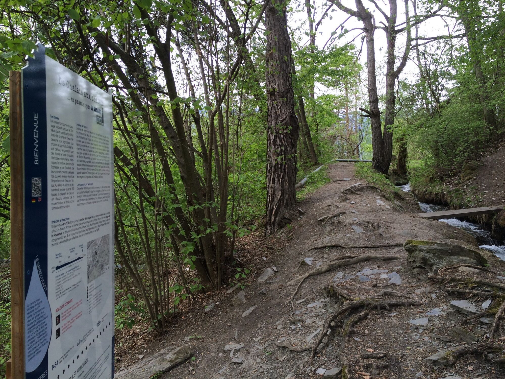
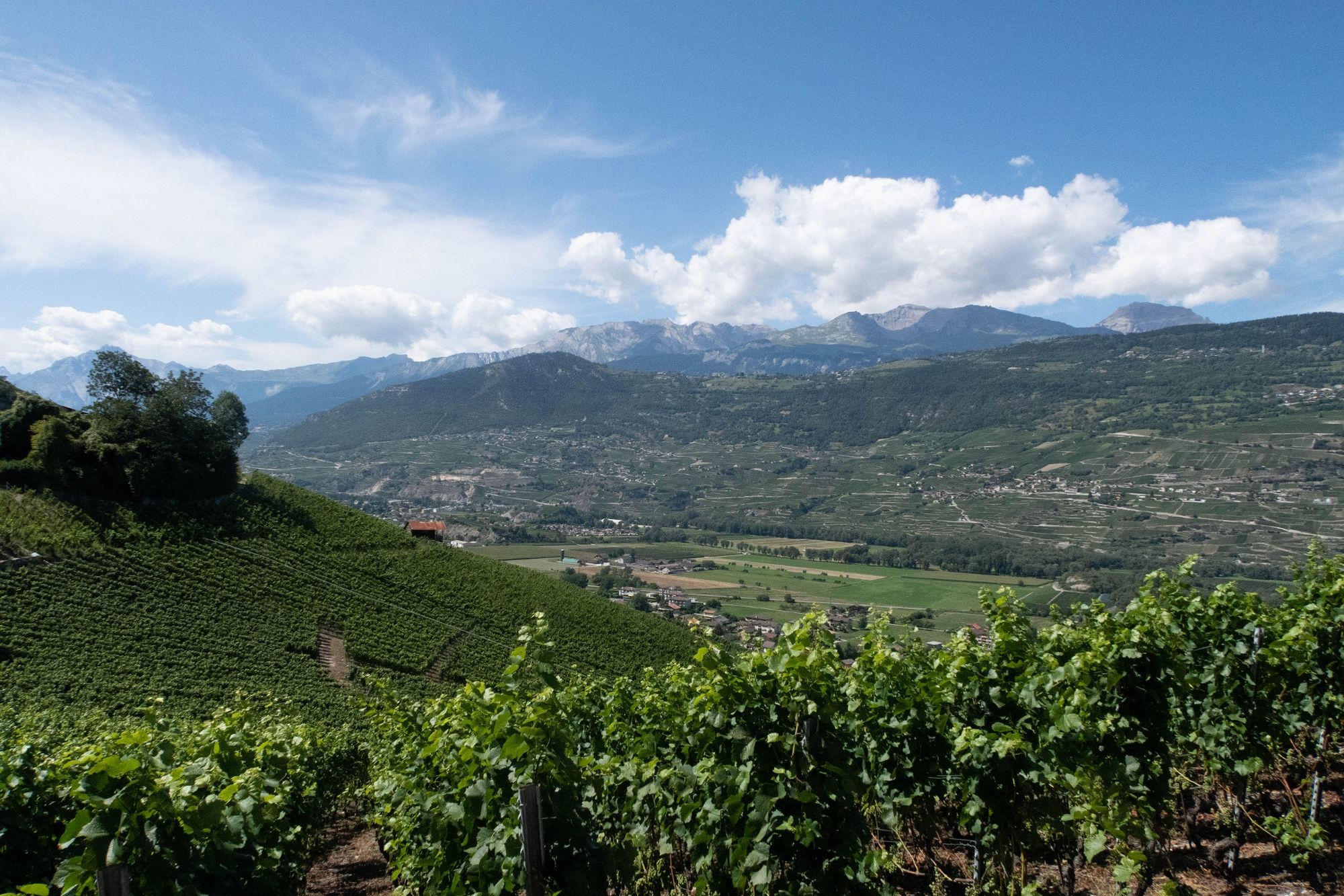
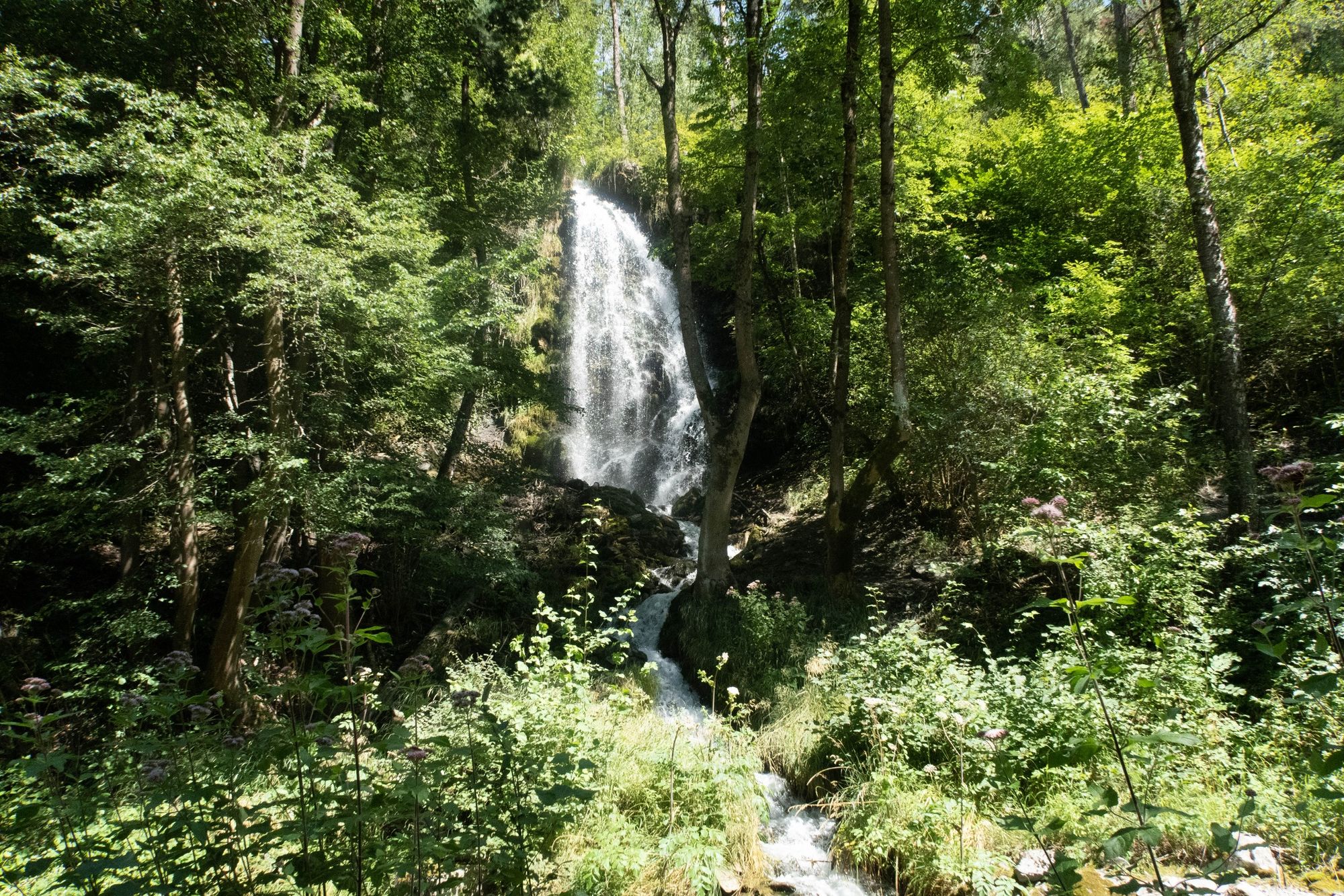
Drawing its water from the Navisence and flowing down to the Rèche, the Ricard bisse is the ideal place to enjoy the view over the heights of the village of Chalais.
- Moeilijkheid
-
gemakkelijk
- Waardering
-
- Route
-
Ancienne mine de charbon0,0 kmRéchy0,6 kmSchalei (557 m)1,9 km
- Beste seizoen
-
janfebmrtaprmeijunjulaugsepoktnovdec
- Maximale hoogte
- 662 m
- Bestemming
-
Crétillons arch
- Hoogteprofiel
-
 © outdooractive.com
-

-
AuteurDe rondleiding De Chalais aux chalets ... en passant par LE RICARD wordt gebruikt door outdooractive.com op.
GPS Downloads


Algemene info
Cultureel/Historisch
Flora
Veelbelovend
Meer rondleidingen in de regio's
-
Thyon les Collons
1433
-
Crans - Montana
984
-
Chalais
327