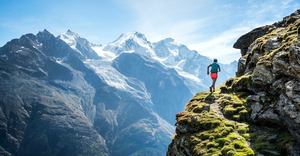
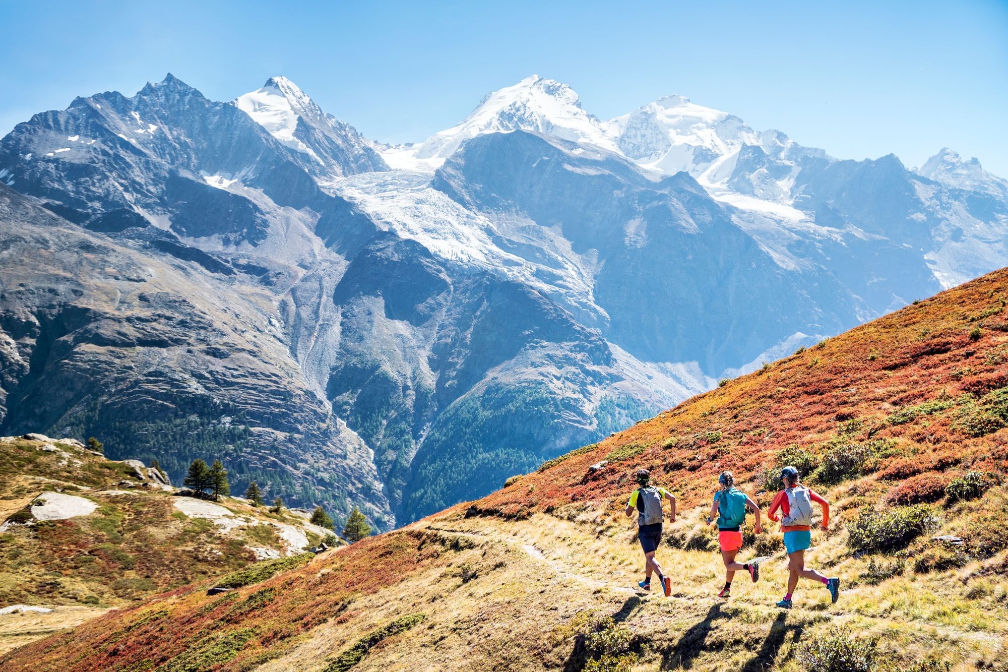
© AlpsInsight - PatitucciPhoto
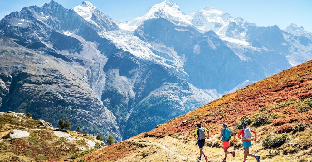
© AlpsInsight - PatitucciPhoto
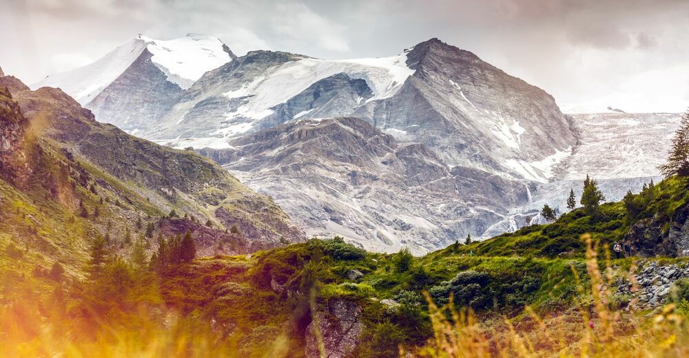
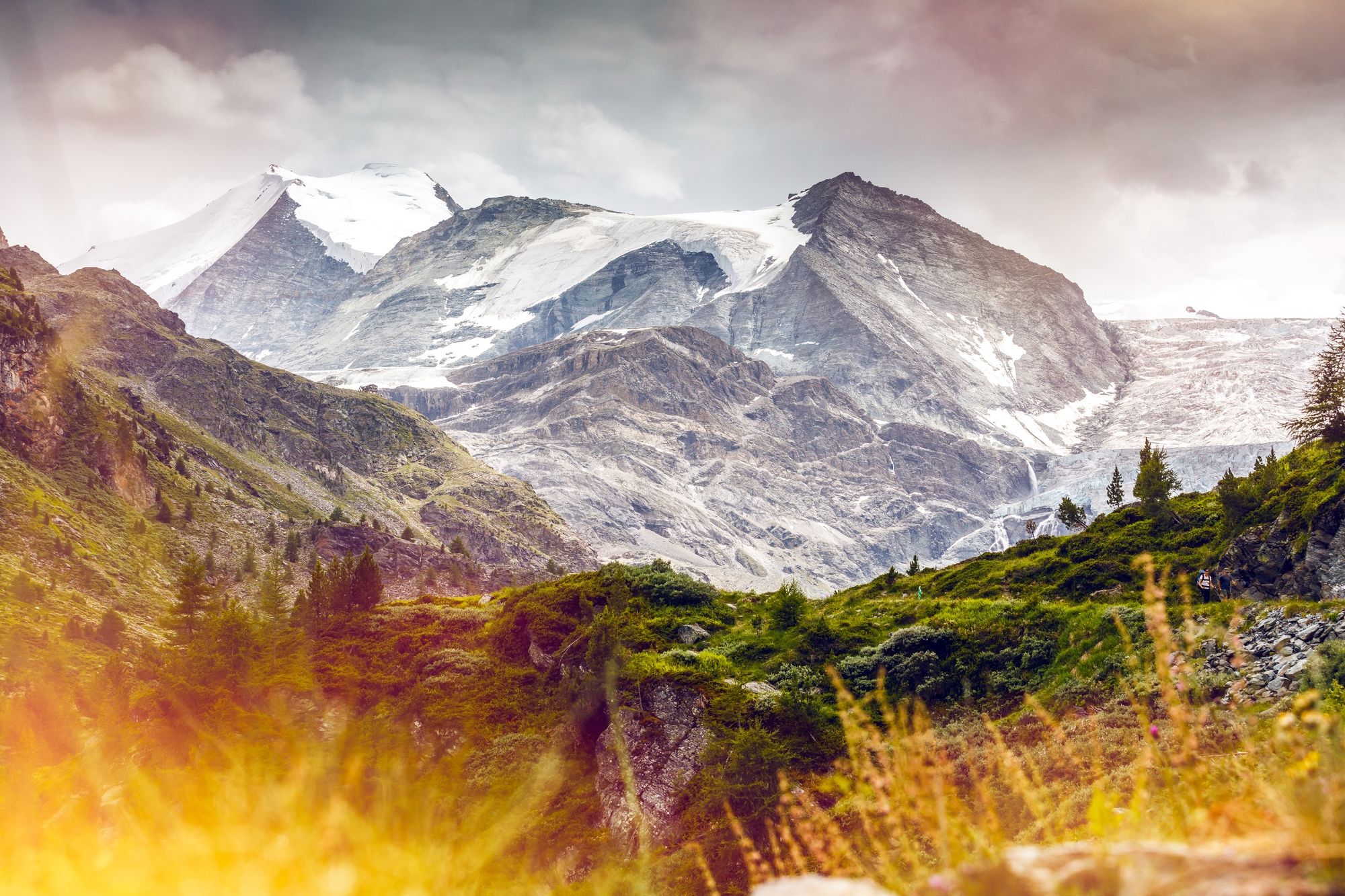
© Valais/Wallis Promotion - Frederic Huber


- Korte beschrijving
-
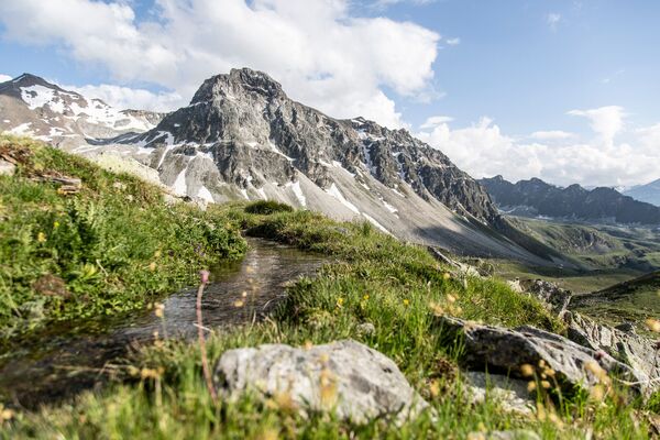
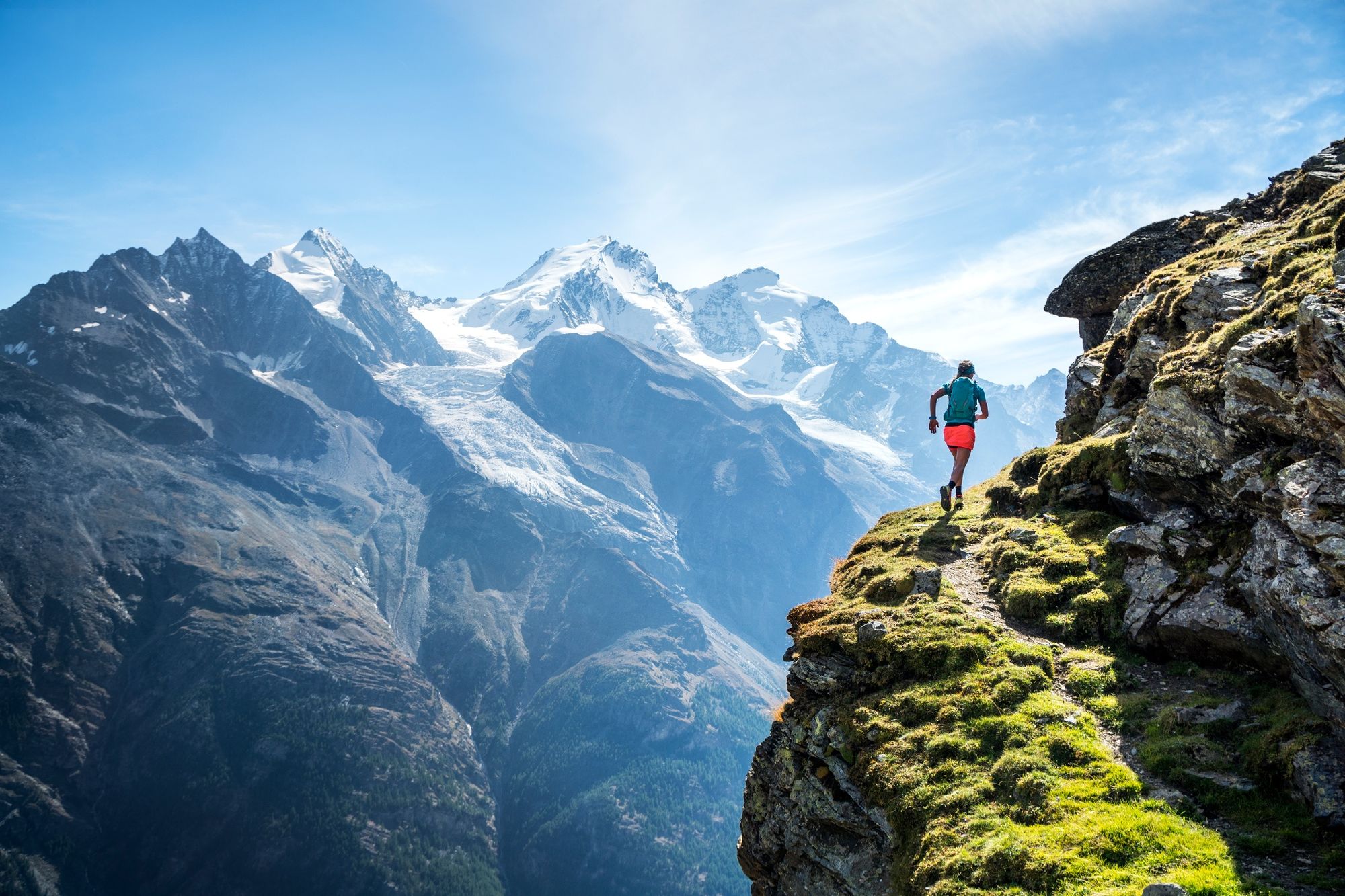
Discover the most incredible leg of the Via Valais with its varied terrain, amazing views and peak at 3,610 metres, making it the highest trail in the Alps.
- Moeilijkheid
-
zwaar
- Waardering
-
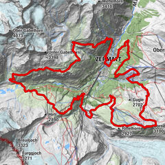
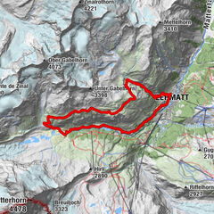
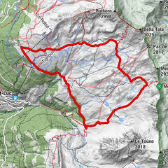
- Route
-
BrunnenGässi (2.641 m)0,9 kmP33923,8 kmP30205,6 kmRanda (1.406 m)19,0 km
- Beste seizoen
-
janfebmrtaprmeijunjulaugsepoktnovdec
- Maximale hoogte
- 3.327 m
- Bestemming
-
Randa
- Hoogteprofiel
-
 © outdooractive.com
- Auteur
-
De rondleiding Via Valais Turtmann Hut - Randa (Stage 7) wordt gebruikt door outdooractive.com op.
GPS Downloads
Algemene info
Verfrissingsstop
Tip voor insiders
Flora
Fauna
Veelbelovend
Meer rondleidingen in de regio's
-
Oberwallis
107
-
Mattertal
34
-
Täsch
17