© Valais/Wallis Promotion - Hélène Delaloye

© Verbier Promotion

© Valais/Wallis Promotion - Hélène Delaloye

© Verbier Promotion


© Valais/Wallis Promotion - Hélène Delaloye

© Verbier Promotion

© Verbier Promotion

- Korte beschrijving
-
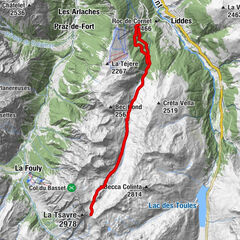
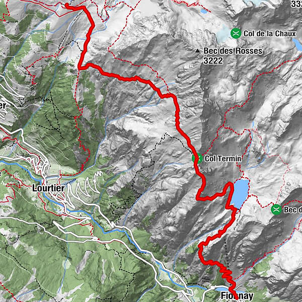
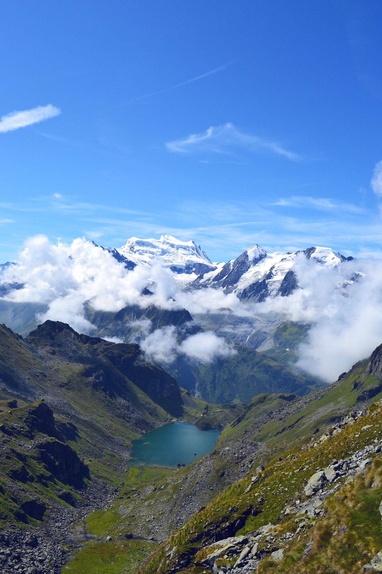
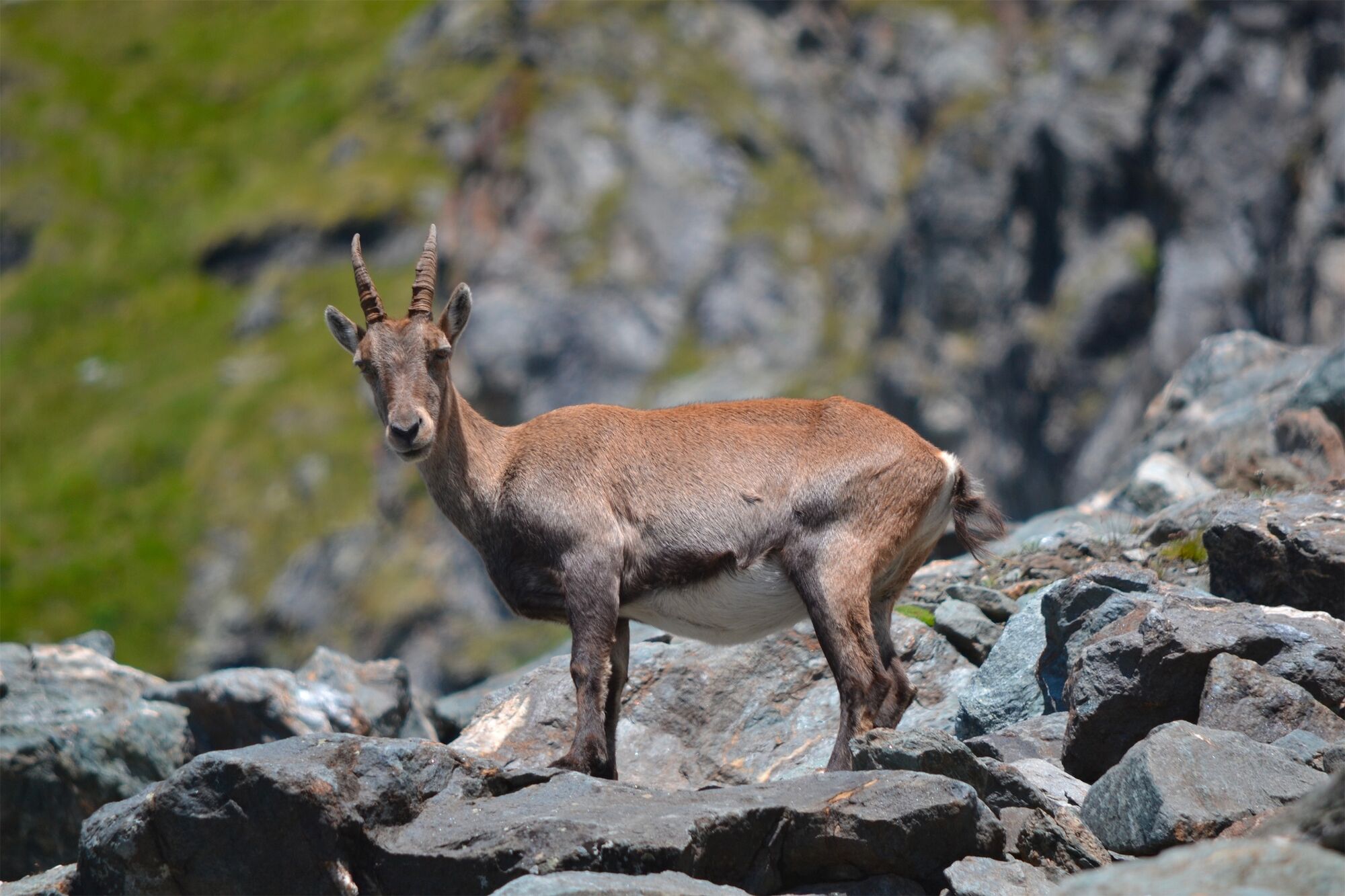
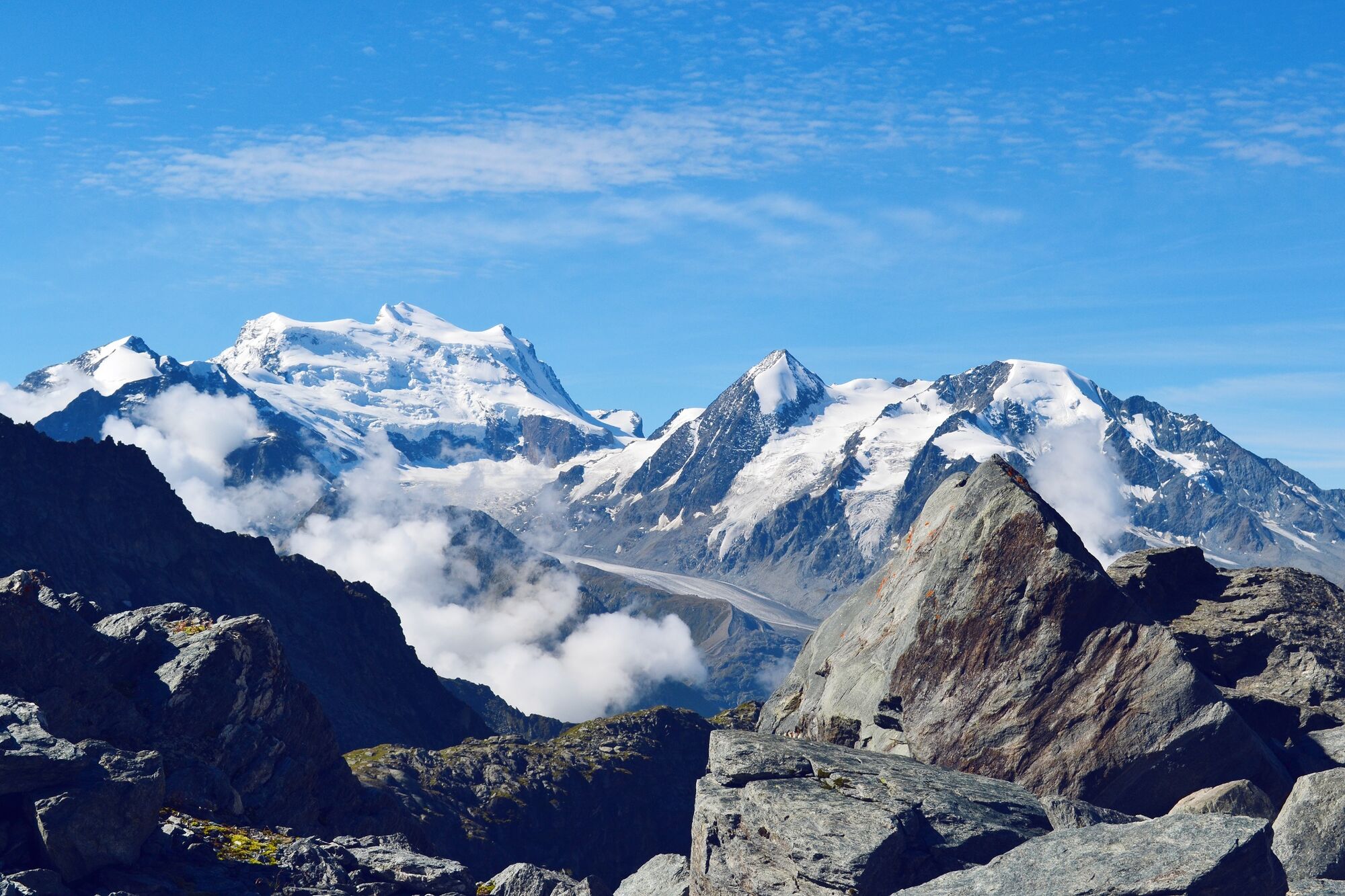
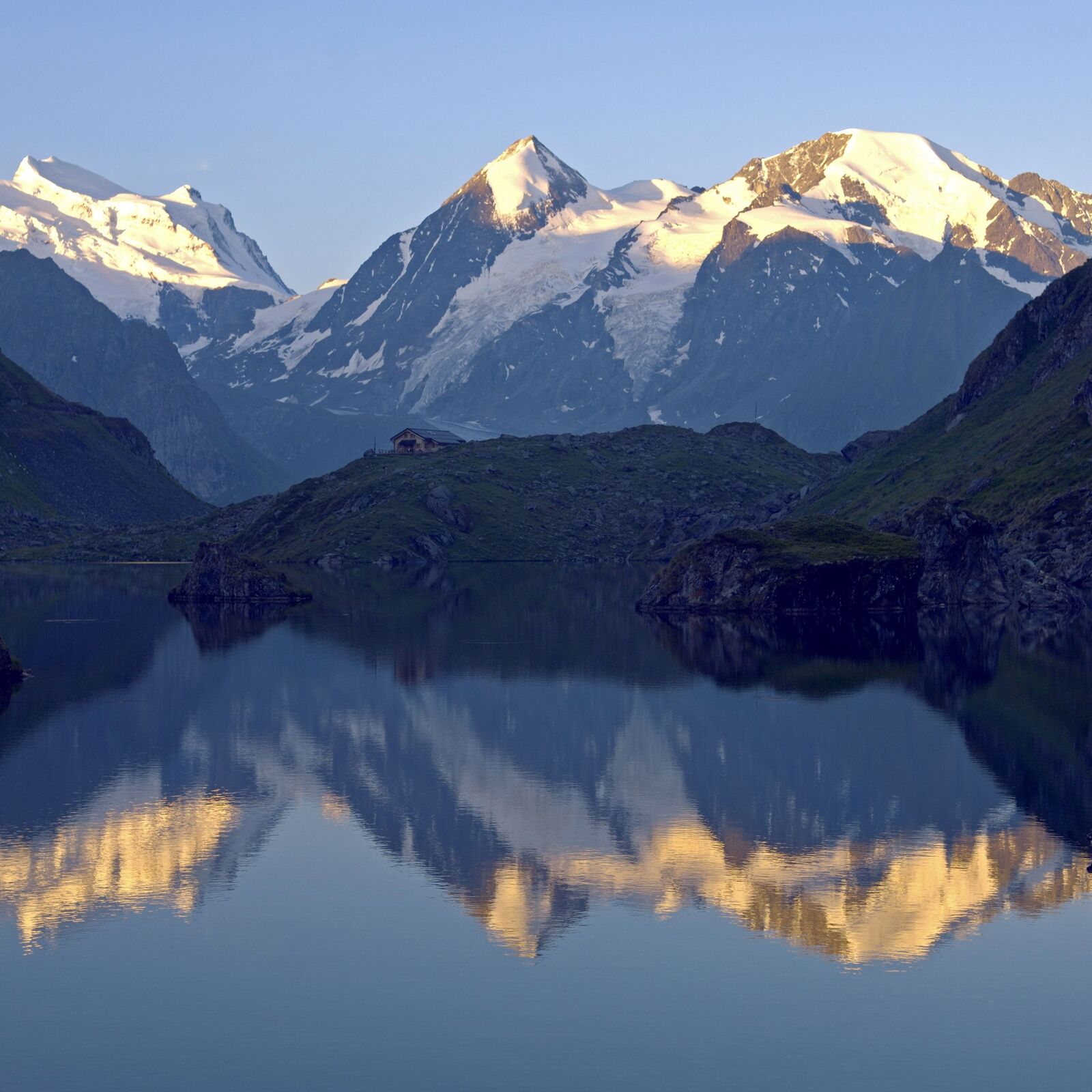
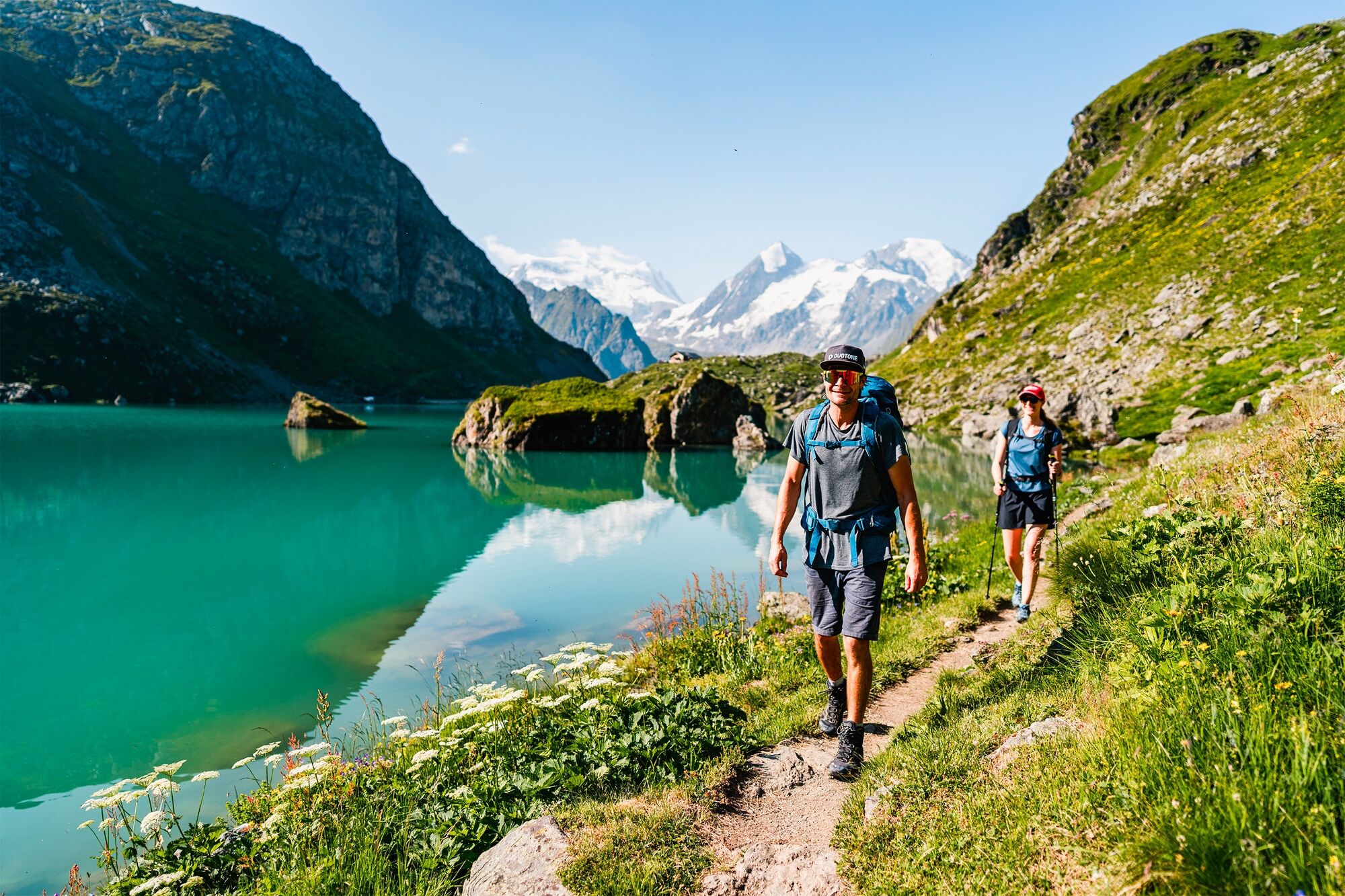
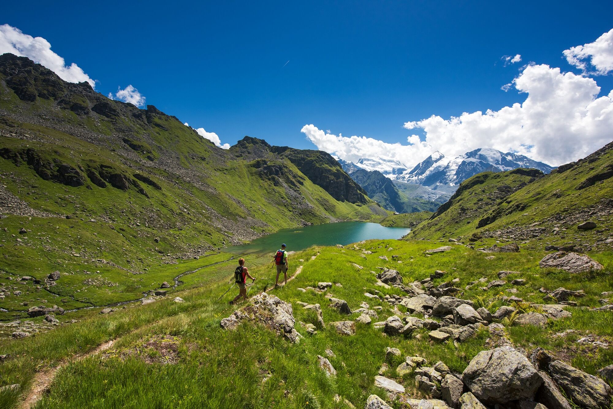
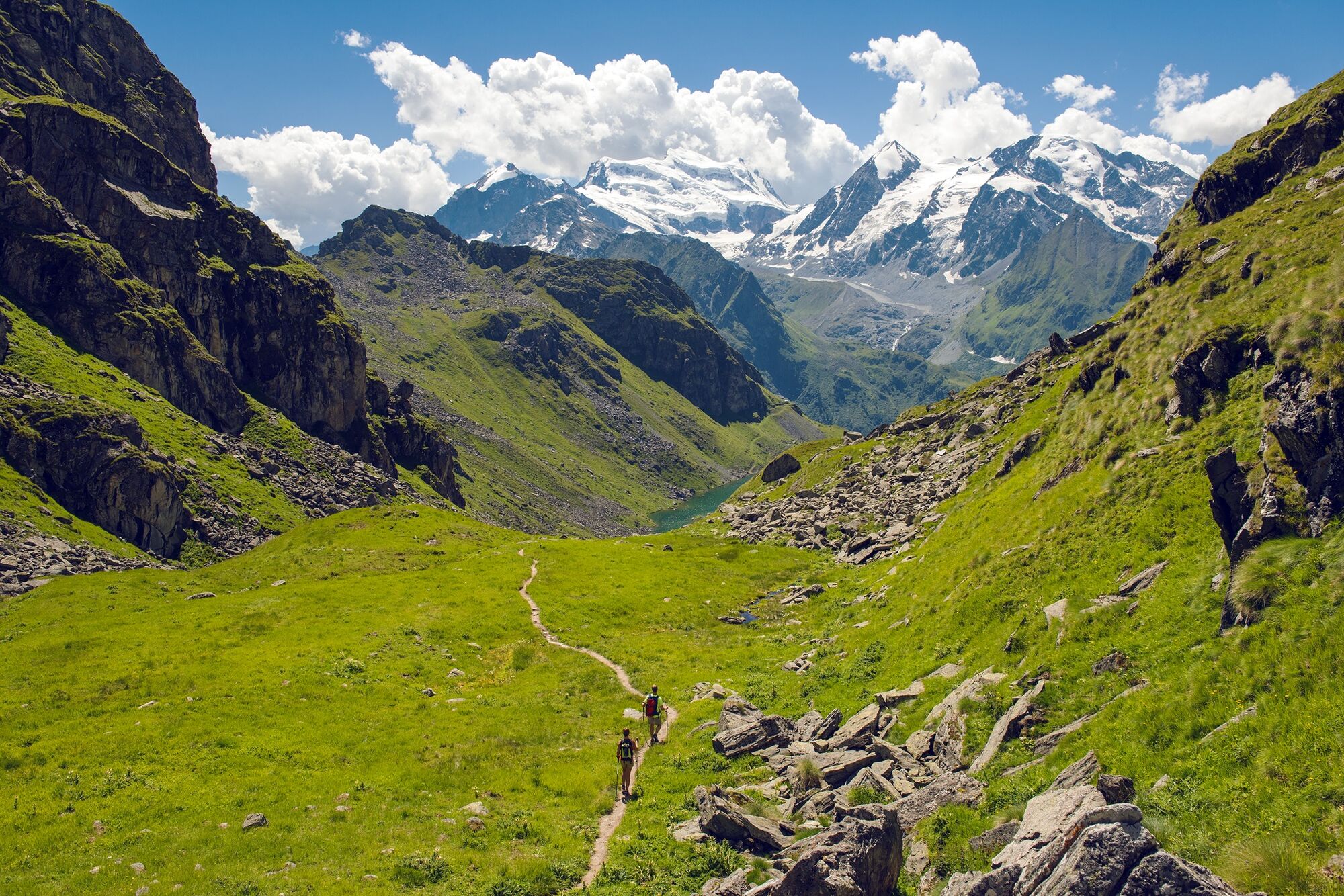
The “Path of the chamois” into the nature reserve of the Haut Val de Bagnes leads along steep slopes high above the valley floor, offering dramatic views and plenty of chances to spot local wildlife.
- Moeilijkheid
-
zwaar
- Waardering
-
- Route
-
Cabane de Louvie7,8 kmFionnay (1.491 m)11,5 km
- Beste seizoen
-
janfebmrtaprmeijunjulaugsepoktnovdec
- Maximale hoogte
- 2.644 m
- Bestemming
-
Fionnay (bus stop)
- Hoogteprofiel
-
 © outdooractive.com

-

-
AuteurDe rondleiding Sentier des Chamois wordt gebruikt door outdooractive.com op.
GPS Downloads


Algemene info
Verfrissingsstop
Helende klimaat
Tip voor insiders
Flora
Fauna
Veelbelovend
Meer rondleidingen in de regio's
-
Unterwallis
1196
-
Verbier
336
-
Bruson
83