

© Crans-Montana Tourisme & Congrès - Laura Rey

© Crans-Montana Tourisme & Congrès - Laura Rey

© Crans-Montana Tourisme & Congrès - Laura Rey

© Crans-Montana Tourisme & Congrès - Laura Rey

© Crans-Montana Tourisme & Congrès - Chételat Dylan

© Crans-Montana Tourisme & Congrès - Laura Rey

© Crans-Montana Tourisme & Congrès - Laura Rey

© Crans-Montana Tourisme & Congrès - Laura Rey


- Korte beschrijving
-
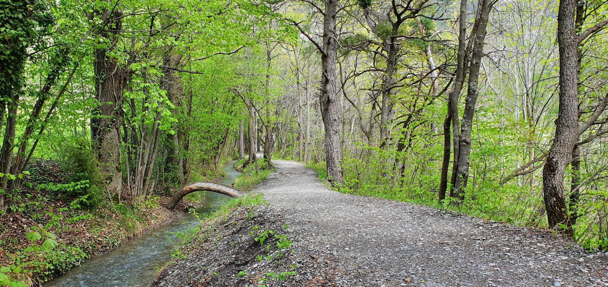
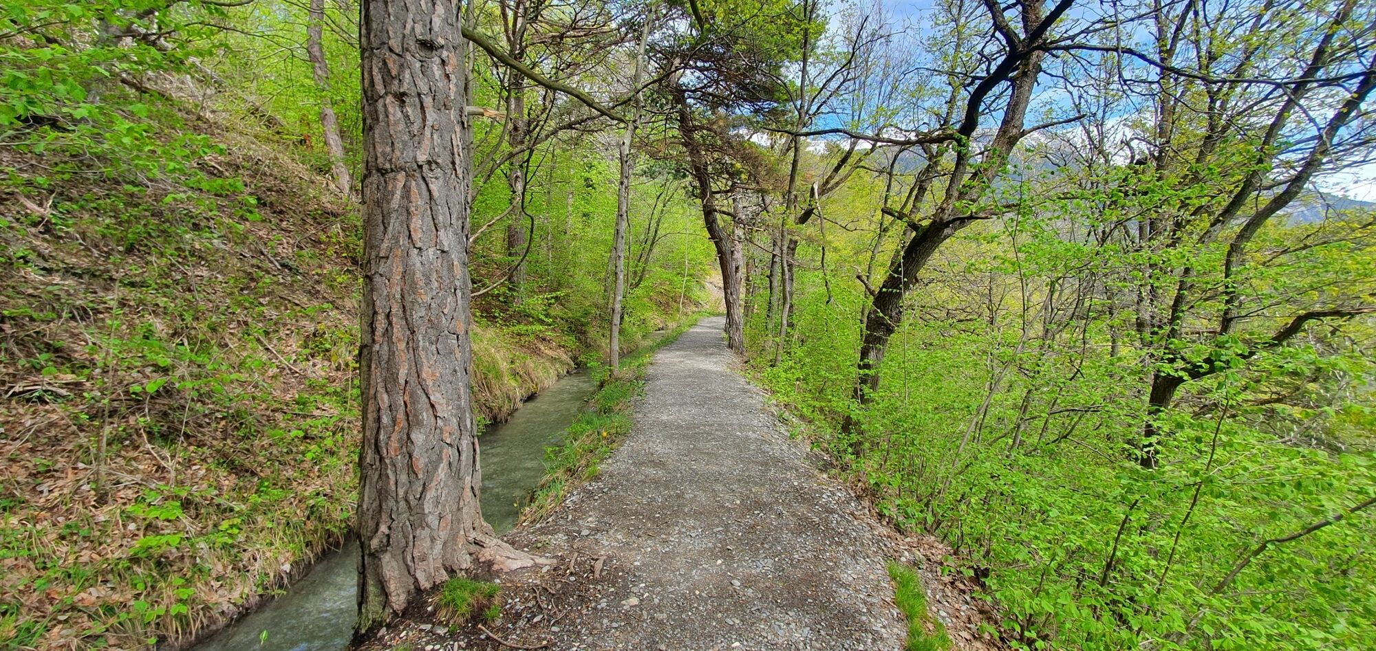
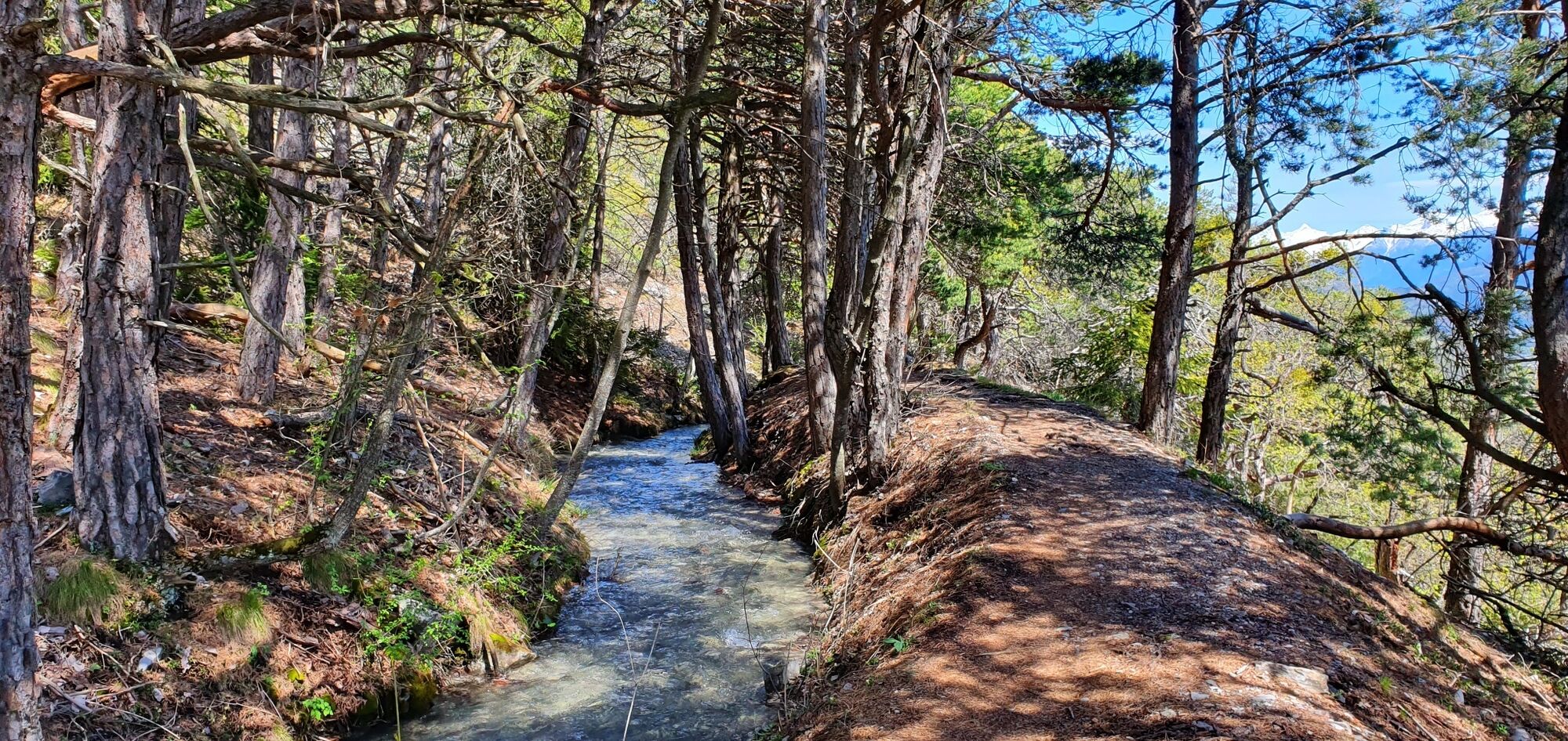
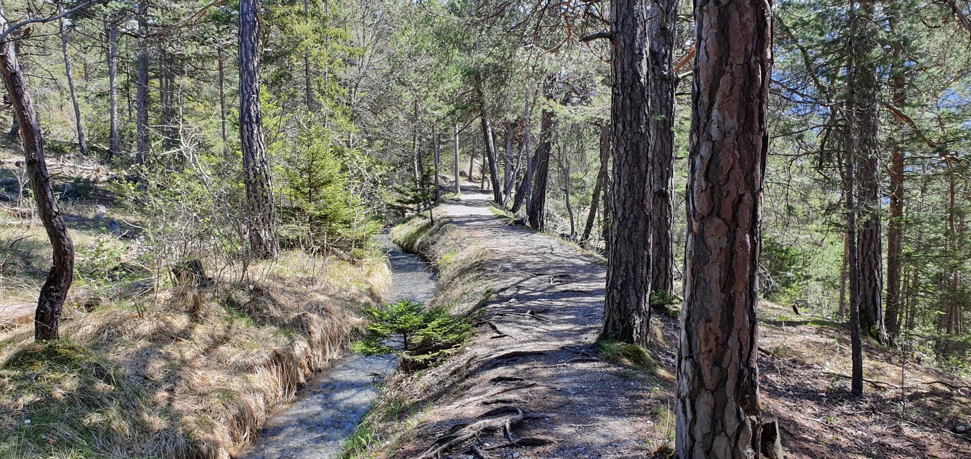
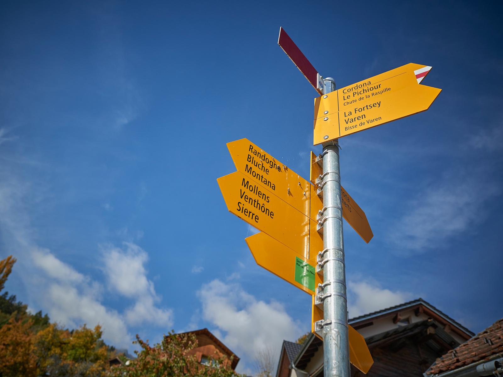
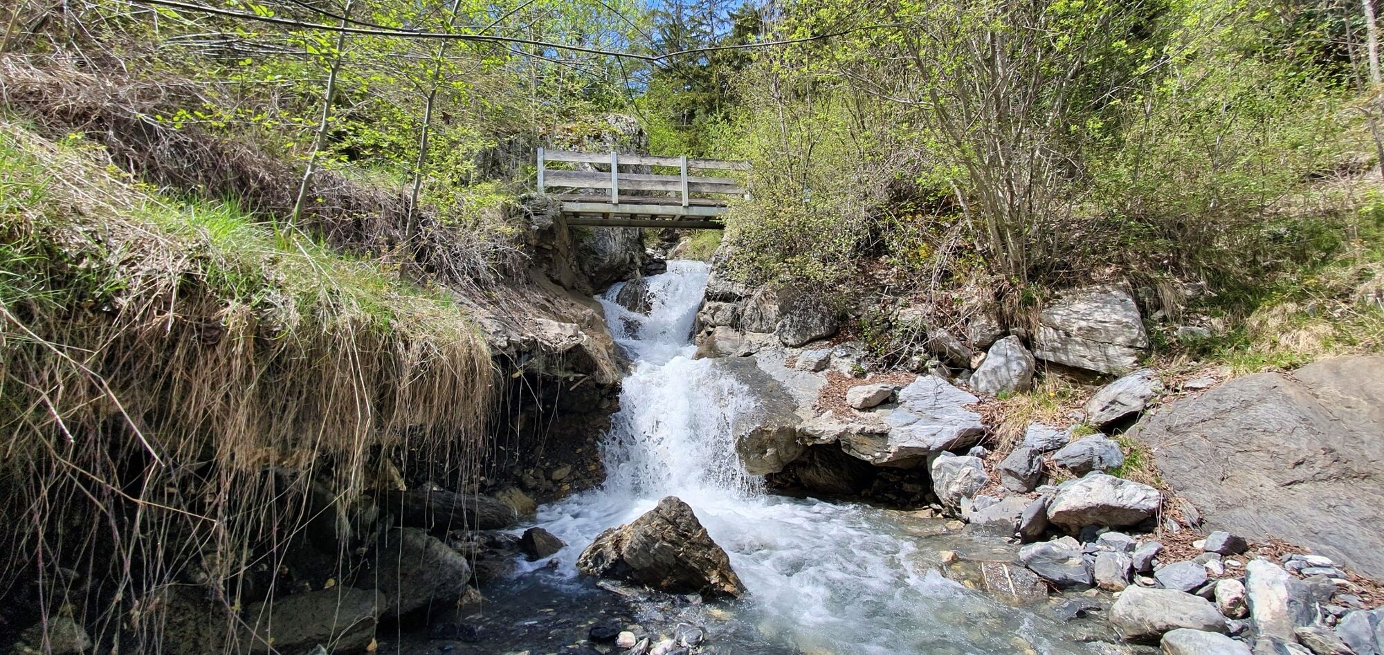
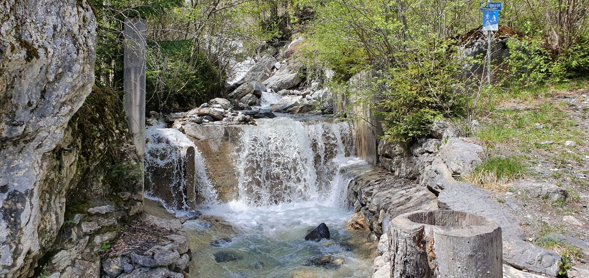
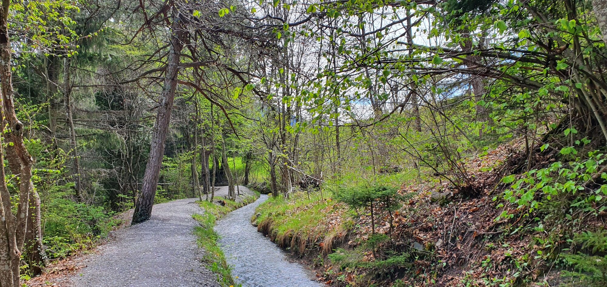
This walk takes you through some very beautiful countryside, enhanced by pines and leafy trees. The end of the Bisse Neuf and the beginning of the Bisse de Varen are located at Valais' linguistic border. This border is geographically marked by the Raspille.
- Moeilijkheid
-
gemakkelijk
- Waardering
-
- Route
-
Siders (533 m)0,3 kmVenthen (799 m)0,3 kmLa Poprija5,0 kmVaronne10,6 km
- Beste seizoen
-
janfebmrtaprmeijunjulaugsepoktnovdec
- Maximale hoogte
- 1.038 m
- Bestemming
-
Varen, Post
- Hoogteprofiel
-
 © outdooractive.com
- Auteur
-
De rondleiding Bisse Neuf and Bisse de Varen wordt gebruikt door outdooractive.com op.
GPS Downloads


Algemene info
Helende klimaat
Flora
Veelbelovend
Meer rondleidingen in de regio's
-
Oberwallis
1871
-
Crans - Montana
971
-
Salgesch
275


