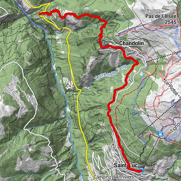
Tour of the Val d’Anniviers: Pontis - Chandolin - St-Luc (stage 1)

Wandelen

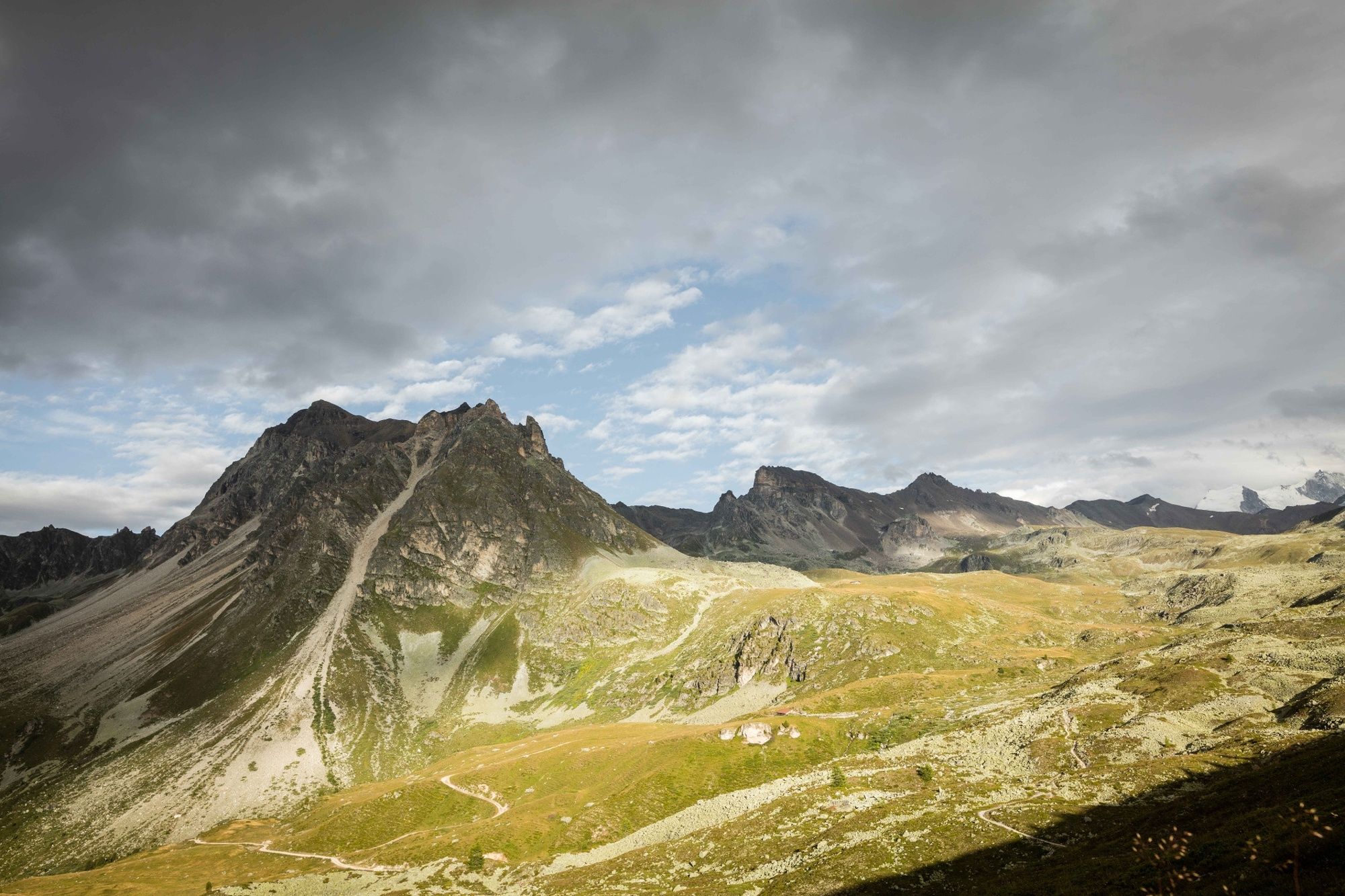
© Valais/Wallis Promotion - Pascal Gertschen

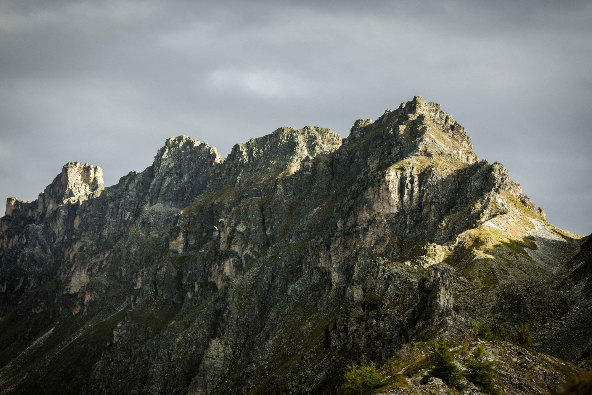
© Valais/Wallis Promotion - Pascal Gertschen

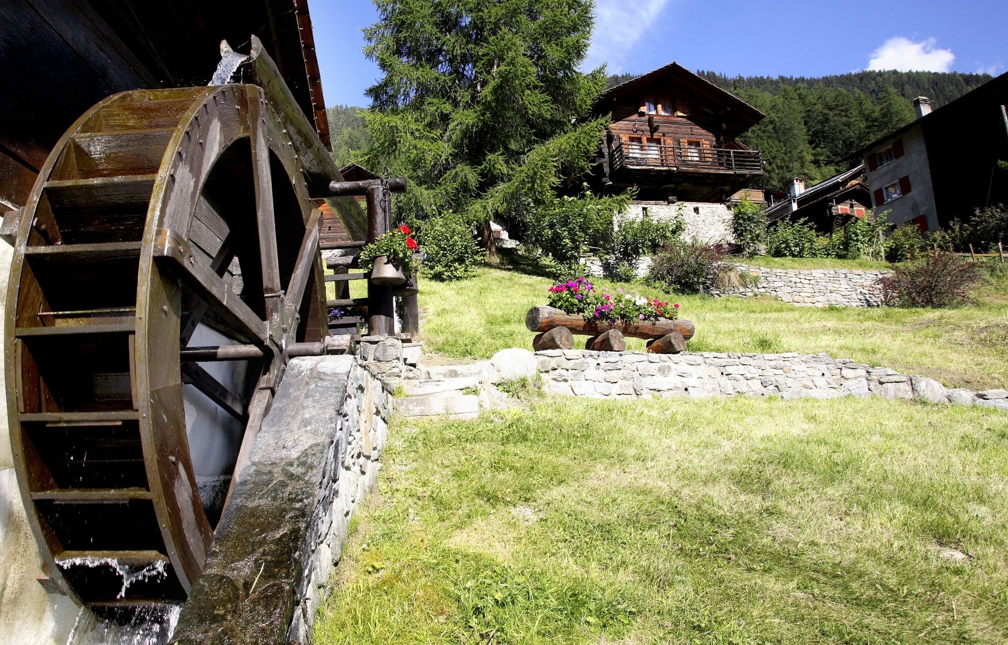
© Unbekannt

- Korte beschrijving
-
Panoramic hike high above the Val d’Anniviers through an idyllic hamlet and two of the valley’s most charming villages.
- Moeilijkheid
-
medium
- Waardering
-
- Route
-
Soussillon1,5 kmLes Ponss2,9 kmAux 20004,2 kmChandolin (1.920 m)4,5 kmLes Tisses4,6 kmLe Fougzètt6,6 kmSaint-Luc (1.655 m)8,9 kmSt-Luc (1.684 m)9,3 km
- Beste seizoen
-
janfebmrtaprmeijunjulaugsepoktnovdec
- Maximale hoogte
- 1.917 m
- Bestemming
-
St-Luc (or Chandolin)
- Hoogteprofiel
-
 © outdooractive.com
-

-
AuteurDe rondleiding Tour of the Val d’Anniviers: Pontis - Chandolin - St-Luc (stage 1) wordt gebruikt door outdooractive.com op.
GPS Downloads


Algemene info
Verfrissingsstop
Cultureel/Historisch
Flora
Fauna
Veelbelovend
Meer rondleidingen in de regio's
-
Oberwallis
1873
-
Sierre Anniviers
782
-
St-Luc / Chandolin
333


