© Valais/Wallis Promotion - Frederic Huber

© Valais/Wallis Promotion - Frederic Huber

© Unbekannt - Samira Schwery

- Korte beschrijving
-
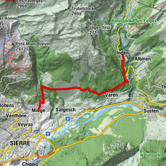
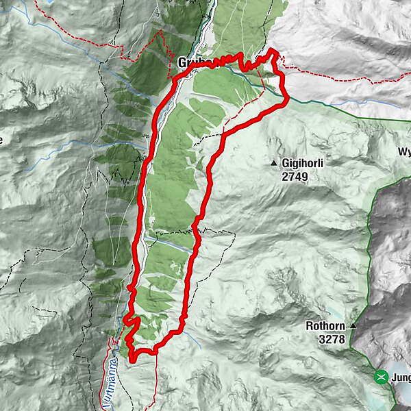
This loop around the Turtmann valley follows a high trail along the eastern slopes of the valley. After the descent through the forest, the route follows the lovely Turtmänna creek back to Gruben/Meiden.
- Moeilijkheid
-
zwaar
- Waardering
-
- Route
-
Restaurant Schwarzhorn (1.825 m)0,1 kmGruben0,2 kmP21511,6 kmGigi Oberstafel3,8 kmHungerli Mittelstafel (2.235 m)5,3 kmBrändji Oberstafel (2.297 m)6,1 kmHolustei7,5 kmGruben12,4 km
- Beste seizoen
-
janfebmrtaprmeijunjulaugsepoktnovdec
- Maximale hoogte
- 2.361 m
- Bestemming
-
Meiden
- Hoogteprofiel
-
 © outdooractive.com

-

-
AuteurDe rondleiding Turtmanntaler Aussischtsweg wordt gebruikt door outdooractive.com op.
GPS Downloads


Algemene info
Verfrissingsstop
Tip voor insiders
Flora
Fauna
Veelbelovend
Meer rondleidingen in de regio's
-
Oberwallis
1872
-
Turtmanntal
963
-
Oberems VS
286