© Valais/Wallis Promotion - Marco Schnyder

© Valais/Wallis Promotion - Marco Schnyder

© Valais/Wallis Promotion - Marco Schnyder

© Valais/Wallis Promotion - Marco Schnyder

© Valais/Wallis Promotion - Marco Schnyder

- Korte beschrijving
-
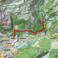
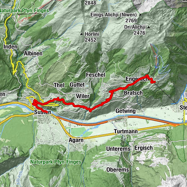
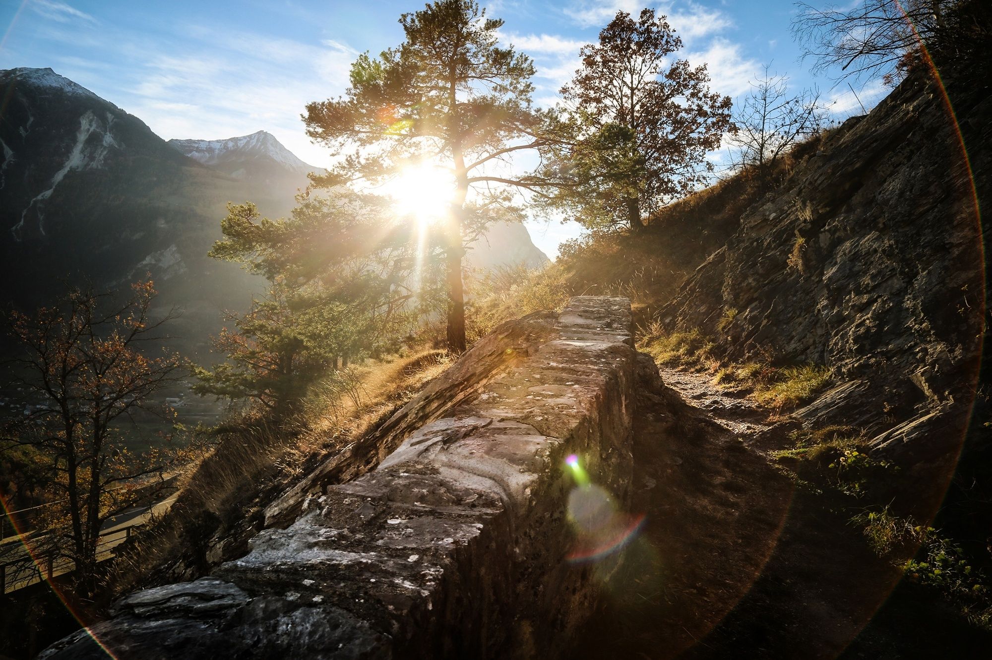
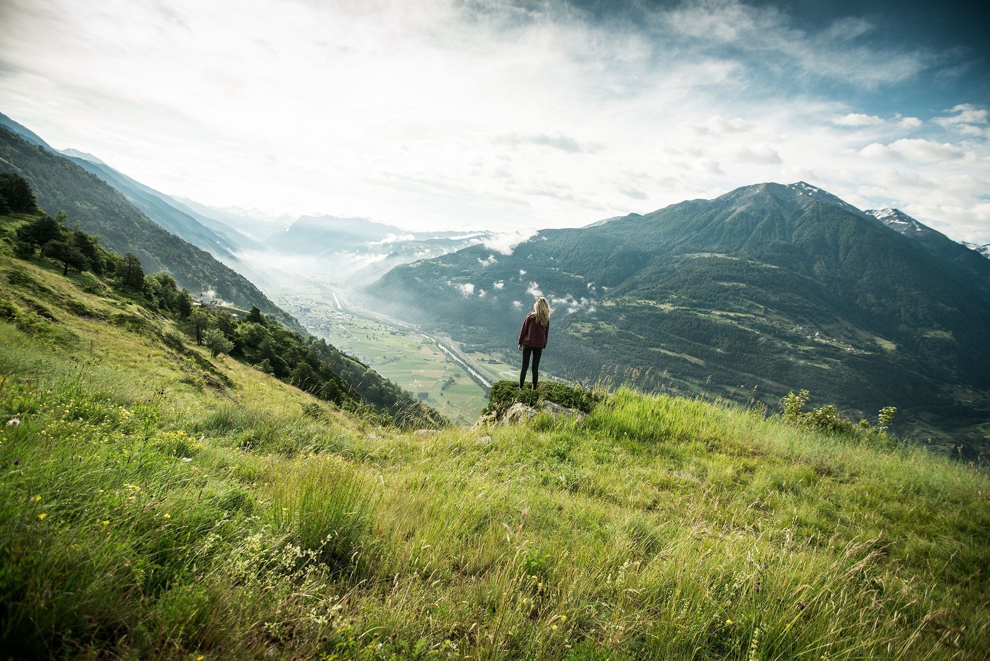
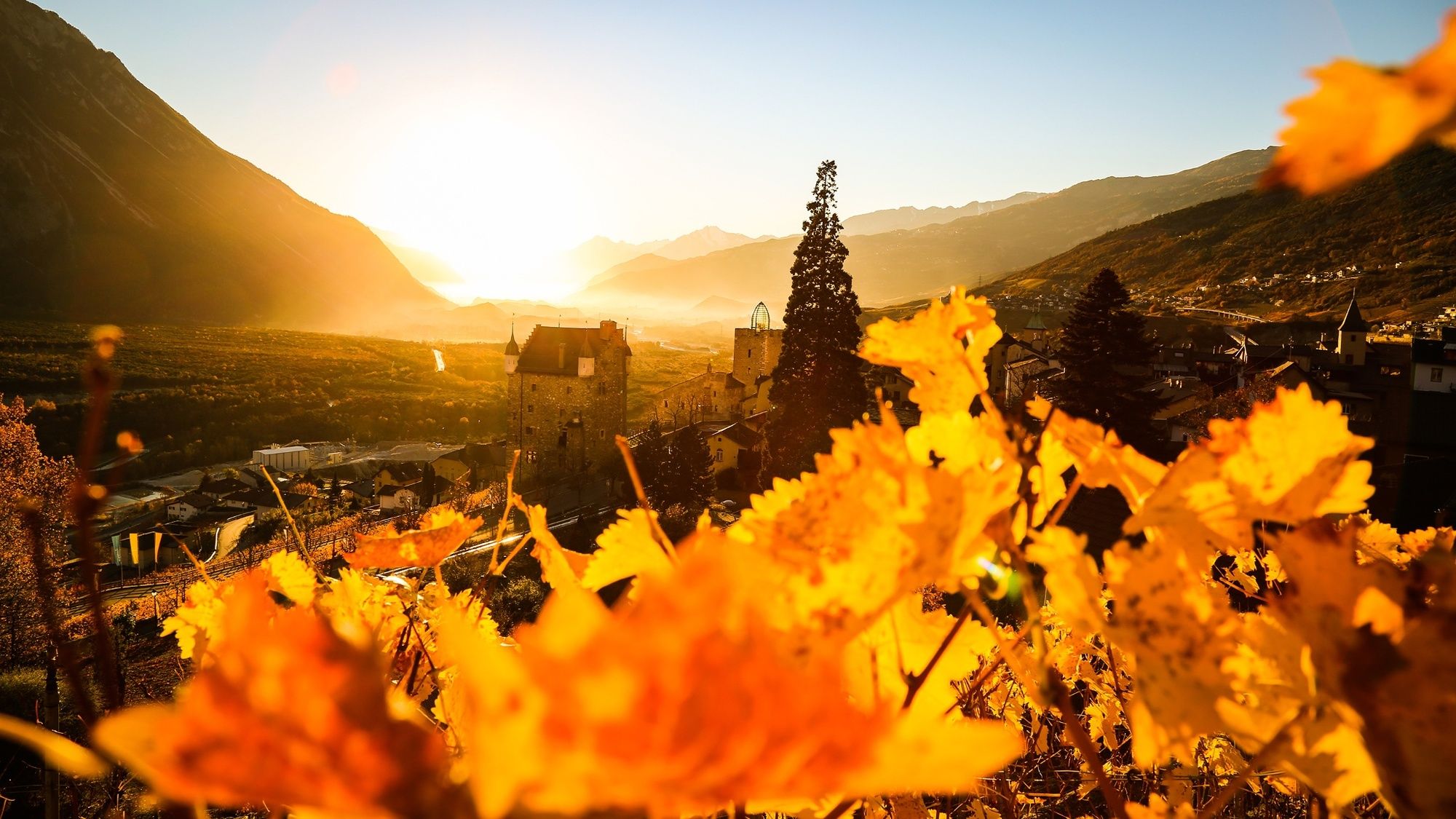
Panoramic hike through the Pfyn-Finges Nature Park, from the mountain village of Jeizinen along the sunny south-facing slopes of the Rhône valley to Leuk. Discover the village of Erschmatt with its rye centre, and the satellite ground station above Leuk.
- Moeilijkheid
-
gemakkelijk
- Waardering
-
- Route
-
BrumattenJeizinen (1.525 m)BiältiRestaurant Bielti (1.490 m)0,0 kmKirche Geburt Mariens0,1 kmHengert0,1 kmHohflüä0,2 kmTrogachra0,5 kmEngersch1,5 kmErschmatt (1.228 m)3,5 kmRoggen Stube3,6 kmOber Rotafen6,3 kmBrunnen6,5 kmWiler6,7 kmLeuk Stadt (731 m)9,8 kmKirche10,0 kmSusten (630 m)11,3 kmLeuk (623 m)11,4 km
- Beste seizoen
-
janfebmrtaprmeijunjulaugsepoktnovdec
- Maximale hoogte
- 1.518 m
- Bestemming
-
Leuk, railway station
- Hoogteprofiel
-
 © outdooractive.com
-

-
AuteurDe rondleiding Leuker Sonnenberge wordt gebruikt door outdooractive.com op.
GPS Downloads


Algemene info
Verfrissingsstop
Cultureel/Historisch
Flora
Veelbelovend
Meer rondleidingen in de regio's
-
Oberwallis
1873
-
Turtmanntal
949
-
Agarn
271