

© Saastal Tourismus AG

© Saastal Tourismus AG

© Saastal Tourismus AG

© Saastal Tourismus AG

© Saastal Tourismus AG

- Korte beschrijving
-
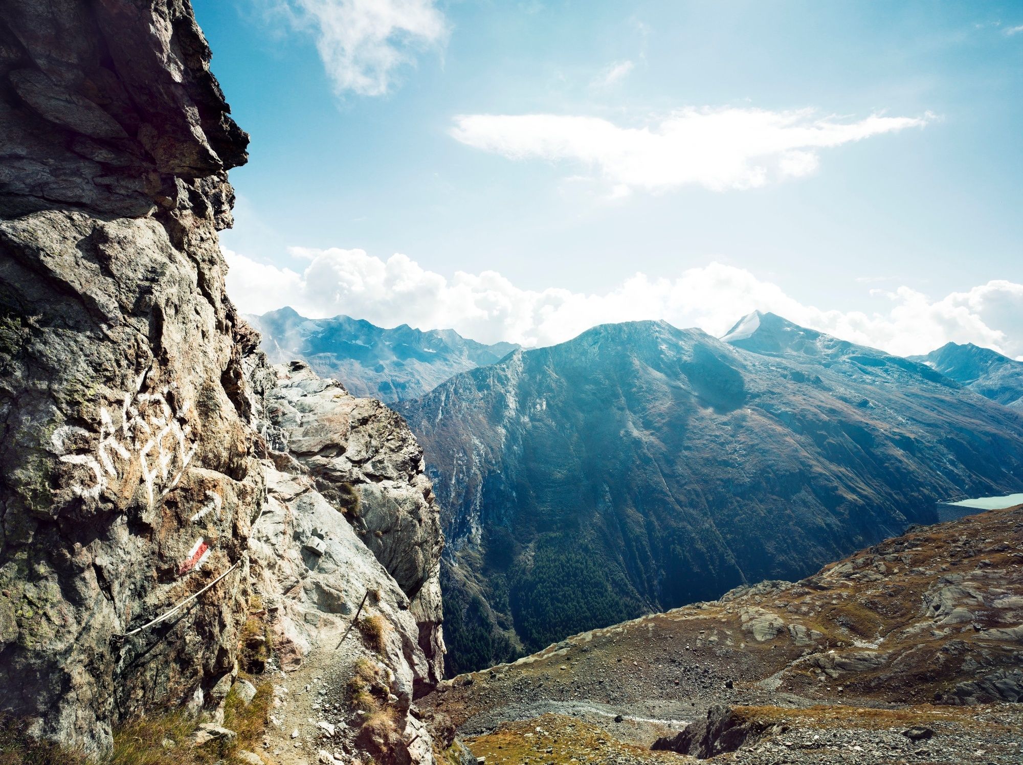
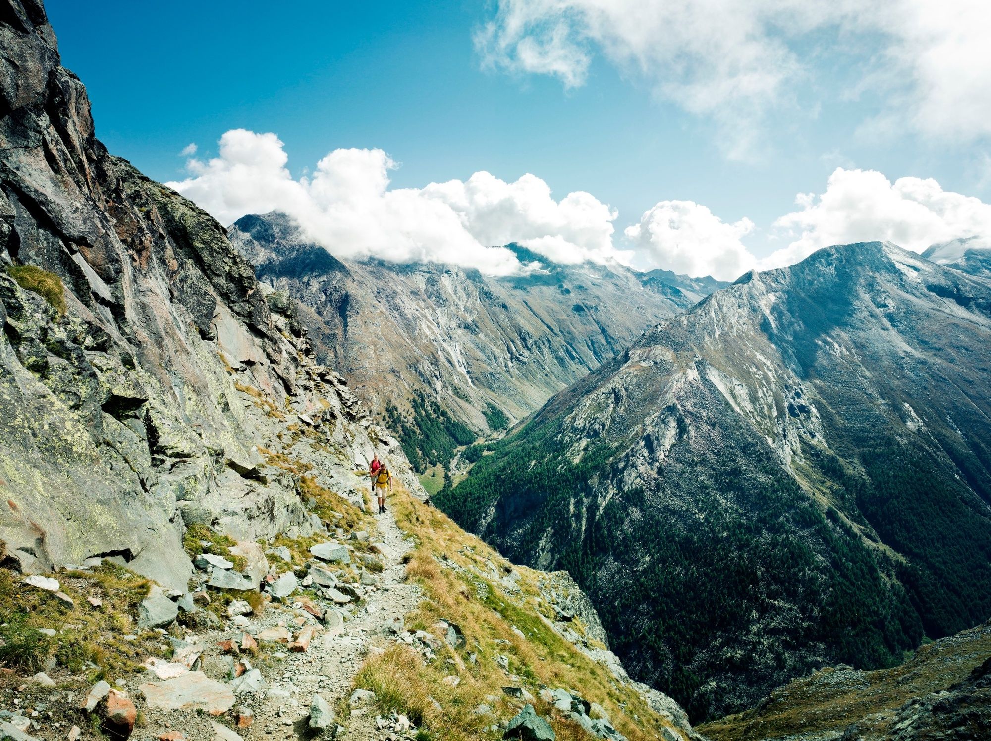
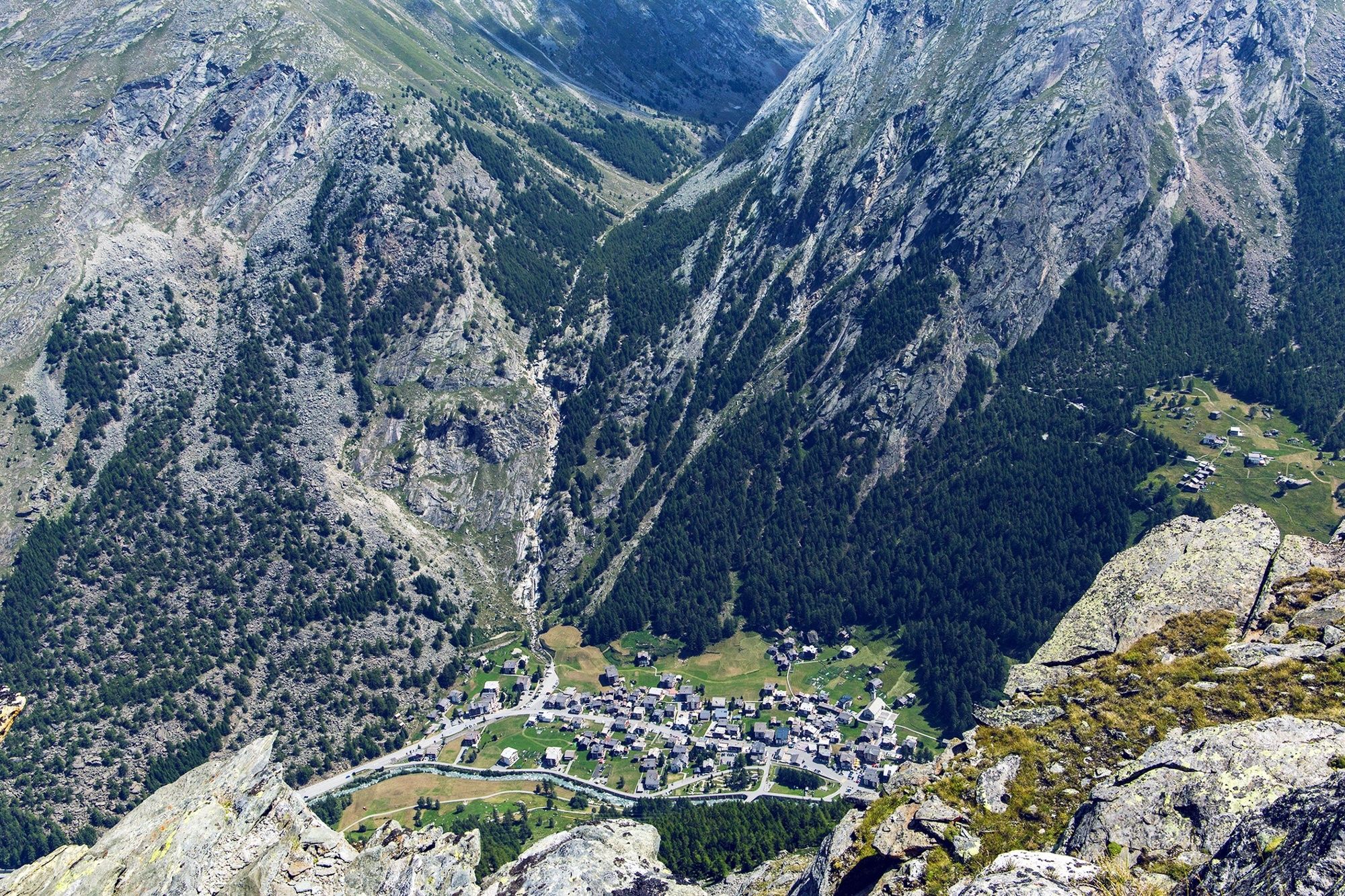
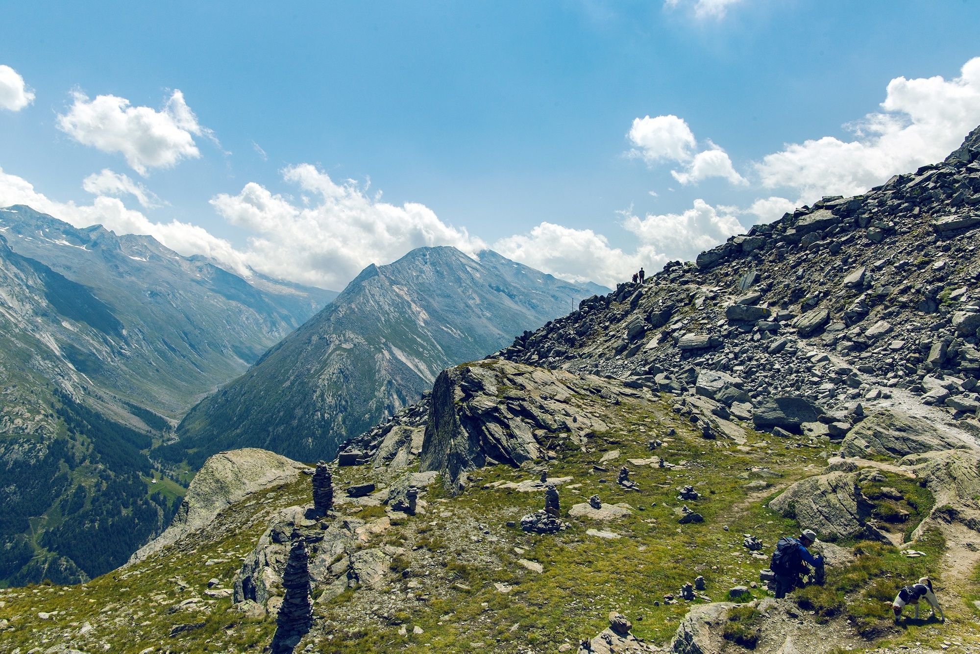
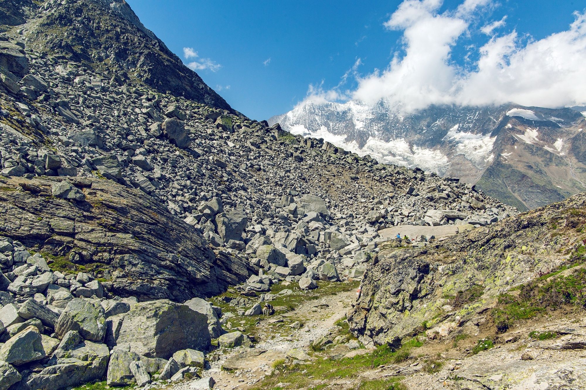
High-altitude hike through a wild glacial landscape between two cable car summit stations. Glorious views plus an ascent to a historical mountaineers’ hut.
- Moeilijkheid
-
zwaar
- Waardering
-
- Route
-
Felskinn (2.989 m)Britanniahütte (3.030 m)2,9 kmPlattjen7,3 kmBergrestaurant Plattjen Terminus7,3 km
- Beste seizoen
-
janfebmrtaprmeijunjulaugsepoktnovdec
- Maximale hoogte
- 3.024 m
- Bestemming
-
Plattjen, cable car summit station
- Hoogteprofiel
-
 © outdooractive.com
-

-
AuteurDe rondleiding From Felskinn to the Britannia hut and Plattjen wordt gebruikt door outdooractive.com op.
GPS Downloads


Algemene info
Verfrissingsstop
Cultureel/Historisch
Veelbelovend
Meer rondleidingen in de regio's
-
Oberwallis
1875
-
Saastal
484
-
Saas-Fee
128


