© Blatten-Belalp Tourismus - Debora Schwitter


© Blatten-Belalp Tourismus - Debora Schwitter

© Blatten-Belalp Tourismus - Debora Schwitter


© Blatten-Belalp Tourismus - Debora Schwitter

© Blatten-Belalp Tourismus - Debora Schwitter

© Blatten-Belalp Tourismus - Debora Schwitter
- Korte beschrijving
-
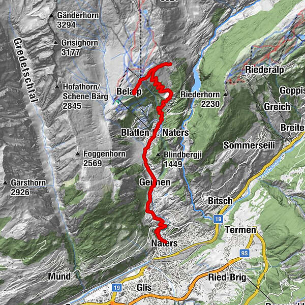
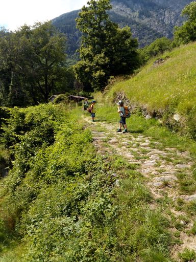
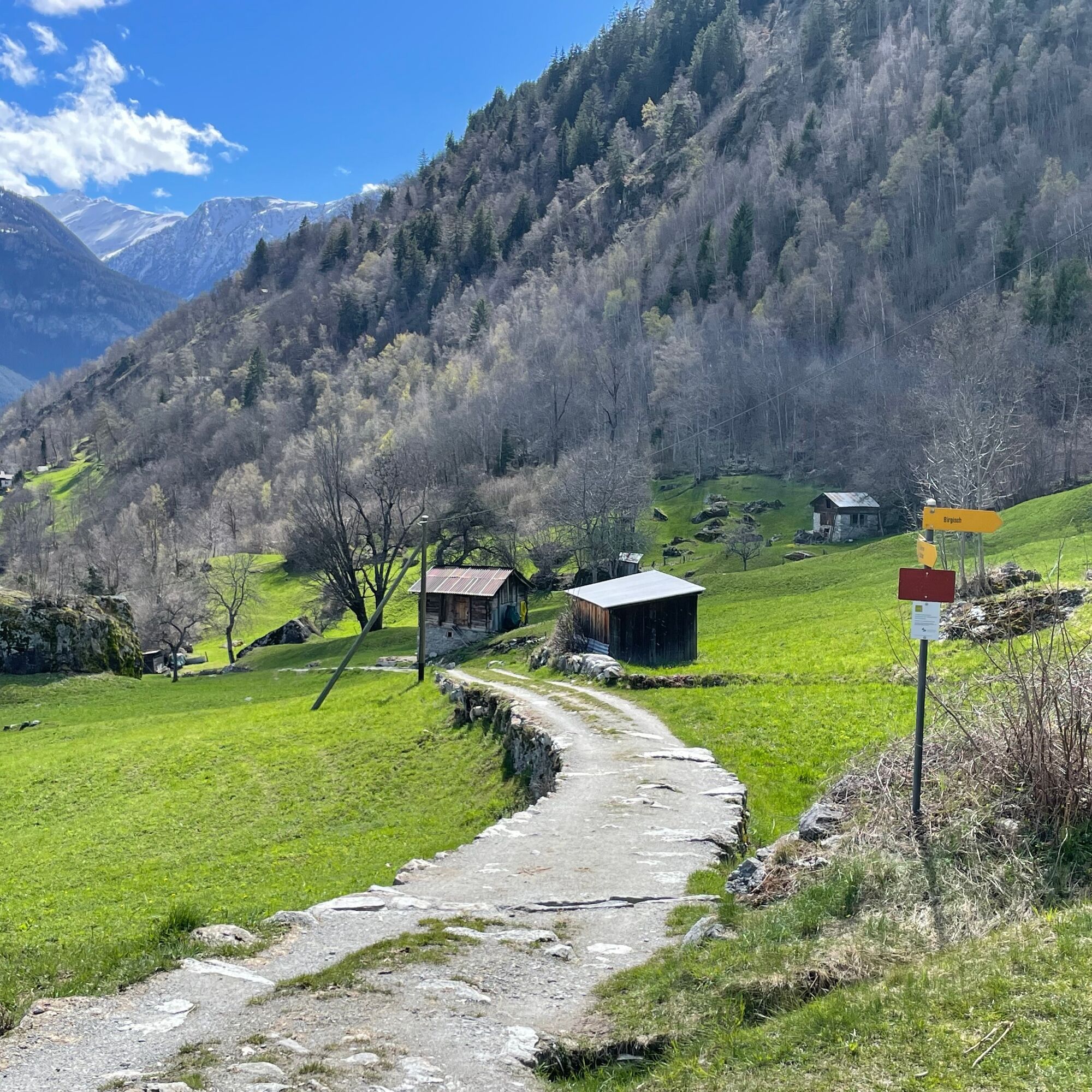
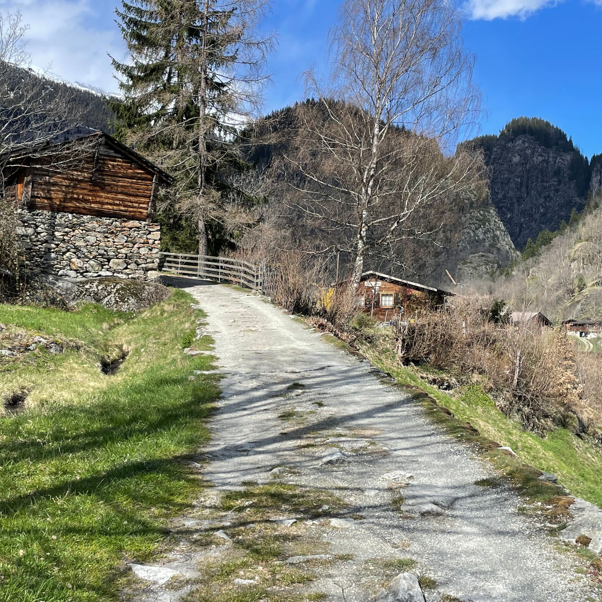
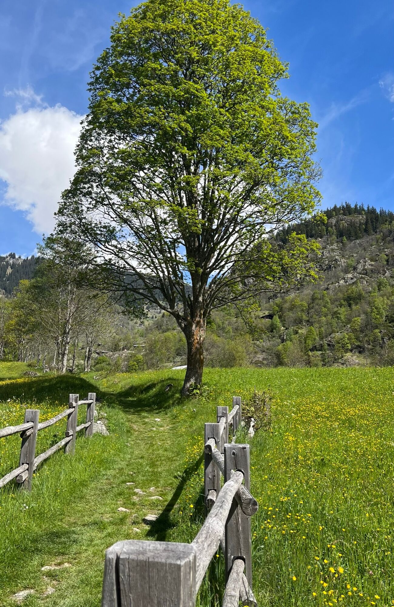
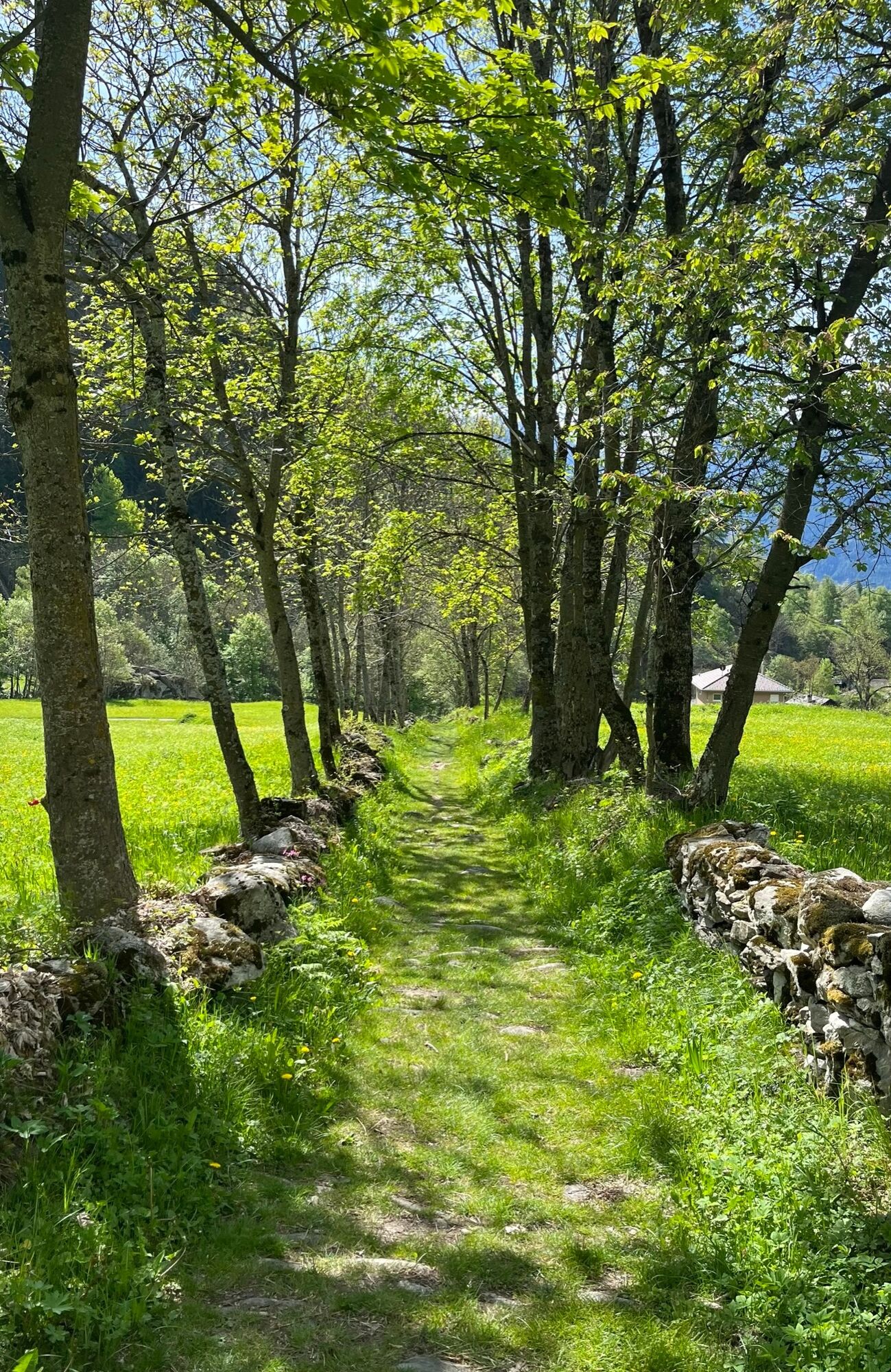
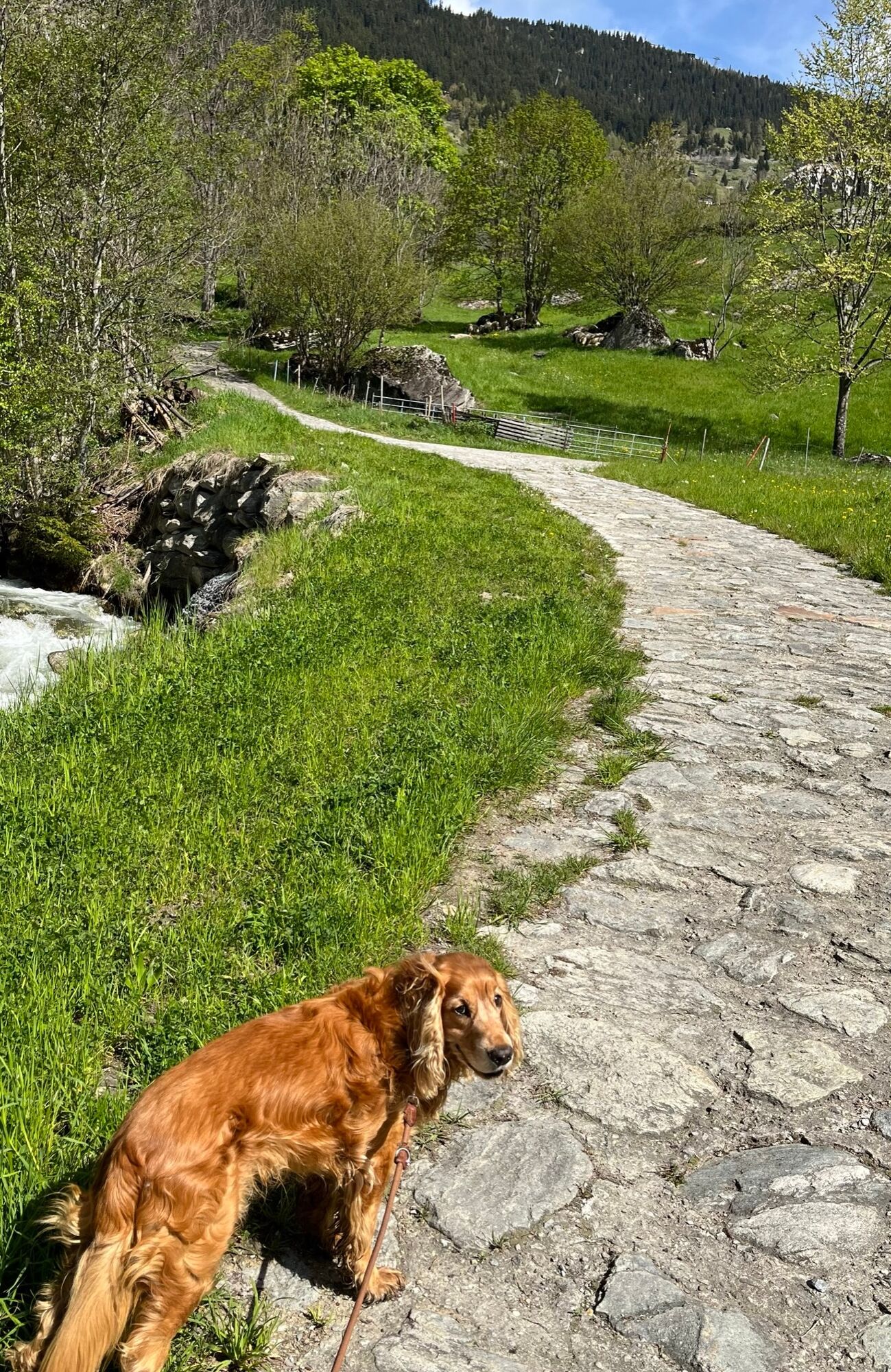
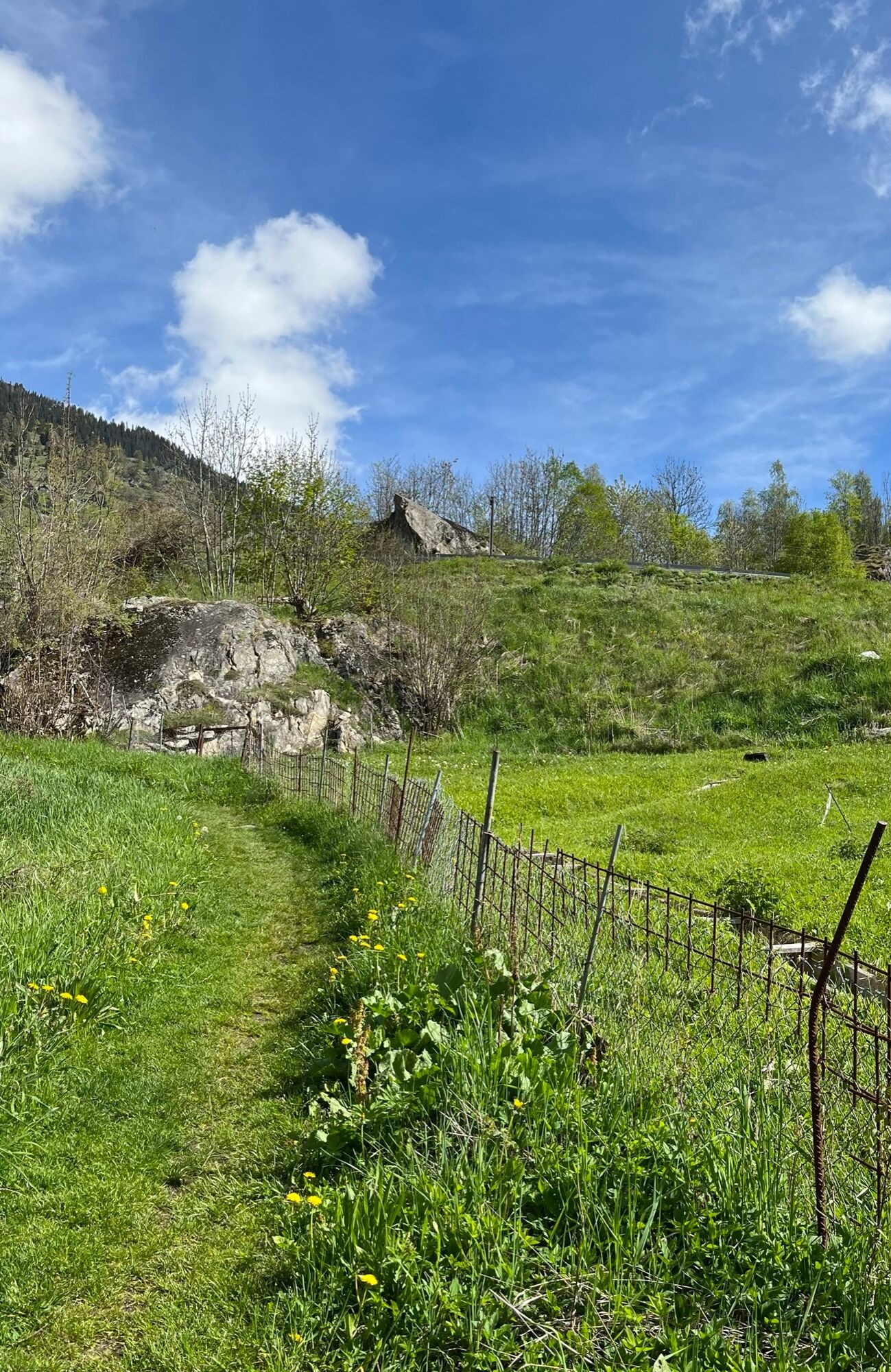
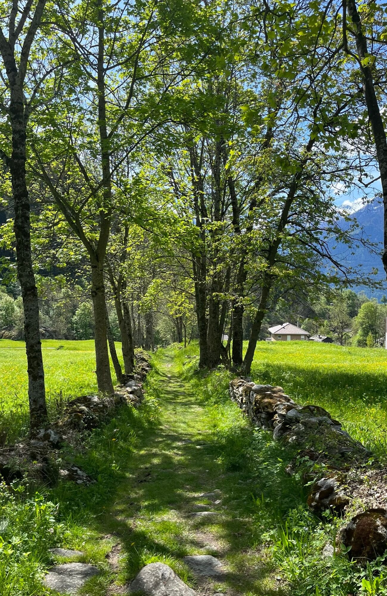
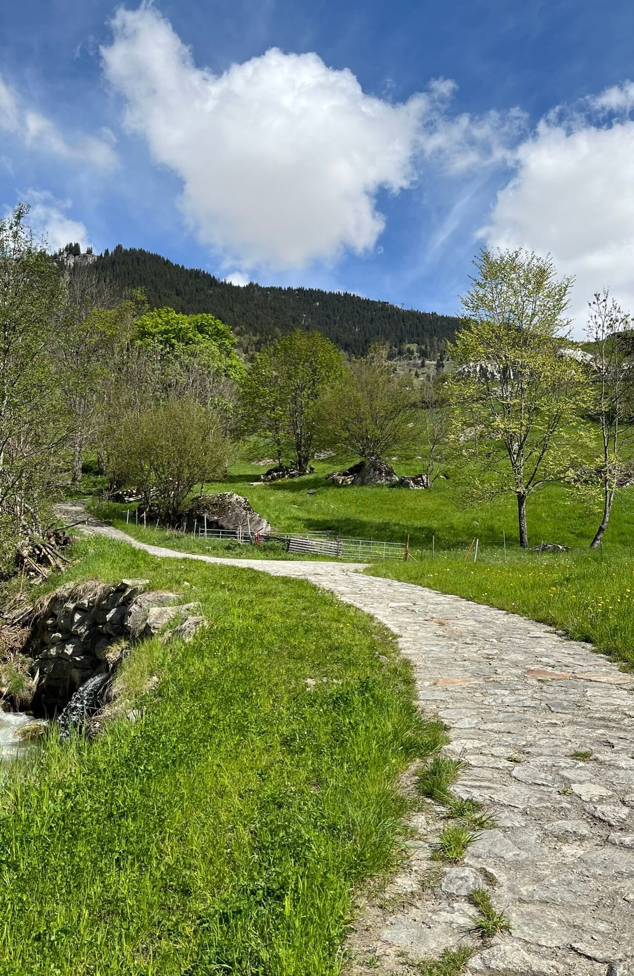
This hike starts in Naters and takes you along the historic road past dry stone walls and mule troughs up to Belalp, where you will be rewarded with a fantastic view of the Great Aletsch Glacier at the Aletschbord.
- Moeilijkheid
-
medium
- Waardering
-
- Route
-
Brig (691 m)Naters (673 m)Kirche St. Mauritius0,1 kmWieri2,0 kmMoos2,2 kmGeimen3,3 kmMehlbaum3,8 kmTheodulskapelle5,2 kmBlatten b. Naters (1.327 m)5,3 kmBlatten (1.331 m)5,4 kmBelstar5,6 kmEgga7,6 kmHotel Belalp10,7 kmRestaurant Bergstation12,6 kmBelalp (2.094 m)12,6 km
- Beste seizoen
-
janfebmrtaprmeijunjulaugsepoktnovdec
- Maximale hoogte
- 2.131 m
- Bestemming
-
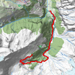
Belalp, Aletschbord
- Hoogteprofiel
-
 © outdooractive.com


-

-
AuteurDe rondleiding Historical road Naters - Belalp wordt gebruikt door outdooractive.com op.
GPS Downloads


Algemene info
Verfrissingsstop
Cultureel/Historisch
Tip voor insiders
Veelbelovend
Meer rondleidingen in de regio's
-
Aletsch Arena
1487
-
Brig Simplon
484
-
Blatten-Belalp
184