© Crans-Montana Tourisme & Congrès - Dylan Chételat

- Korte beschrijving
-
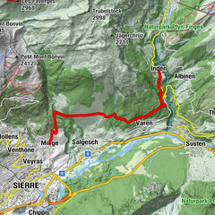
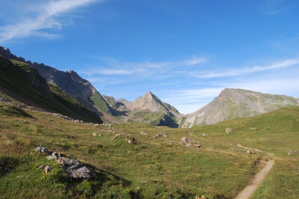
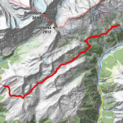
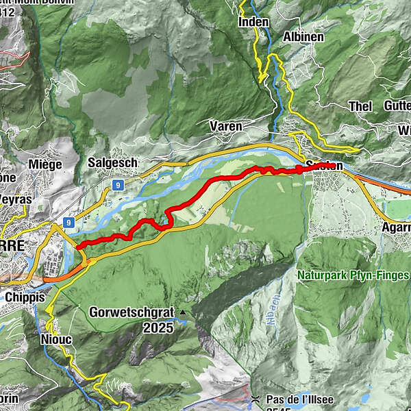
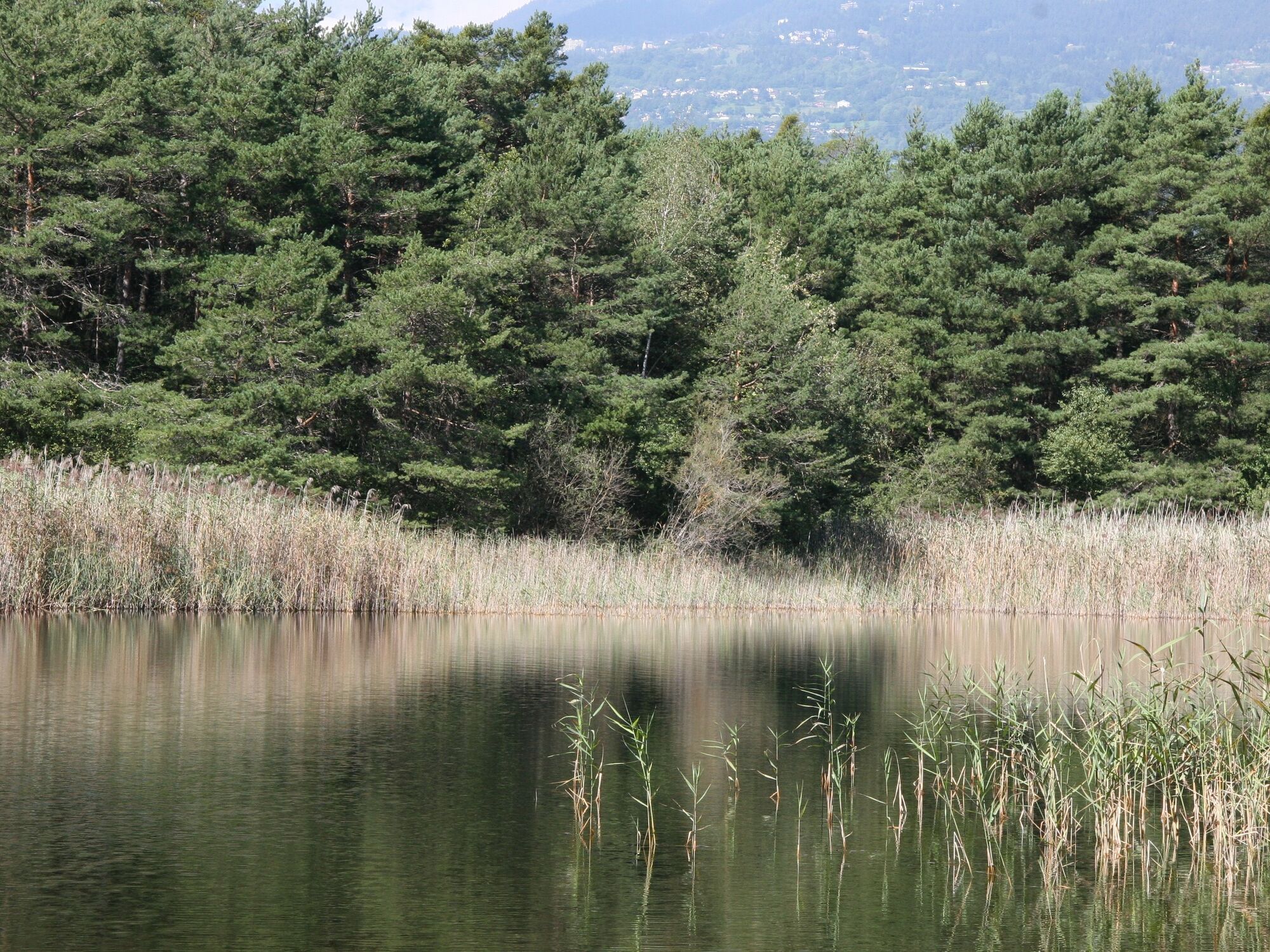
The protected Bois de Finges site in the Pfyn-Finges region nature park – one of the biggest pine forests in the Alps – is a protected site of national importance. The Finges forest borders one of the last wild branches of the Rhône, and is home to a large number of animals and plants.
Since 1997, the region has been under protection and in 2000, the local communes founded an association to develop soft tourism in the reserve and to build a natural park. Since November 2005, "Bois de Finges" has been proudly named as Natural Regional Park.
- Moeilijkheid
-
gemakkelijk
- Waardering
-
- Route
-
Buvette Milljeran2,3 kmSusten (630 m)8,5 kmLeuk (623 m)8,8 km
- Beste seizoen
-
janfebmrtaprmeijunjulaugsepoktnovdec
- Maximale hoogte
- 631 m
- Bestemming
-
Loèche station
- Hoogteprofiel
-
 © outdooractive.com
- Auteur
-
De rondleiding Finges walk wordt gebruikt door outdooractive.com op.
GPS Downloads


Algemene info
Verfrissingsstop
Helende klimaat
Flora
Fauna
Meer rondleidingen in de regio's
-
Oberwallis
1872
-
Leuk/Leukerbad
1028
-
Varen
278