

© Val d'Anniviers - Anniviers Tourisme

© Val d'Anniviers - Anniviers Tourisme

© Val d'Anniviers - Anniviers Tourisme

© Val d'Anniviers - Anniviers Tourisme

© Val d'Anniviers - Anniviers Tourisme

© Val d'Anniviers - Anniviers Tourisme

© Val d'Anniviers - Anniviers Tourisme

© Val d'Anniviers - Anniviers Tourisme

© Val d'Anniviers - Anniviers Tourisme

© Val d'Anniviers - Anniviers Tourisme
- Korte beschrijving
-
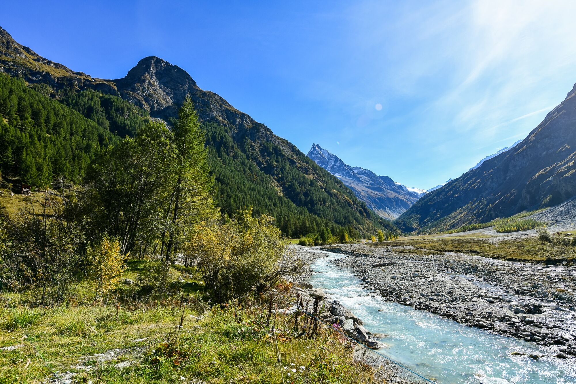
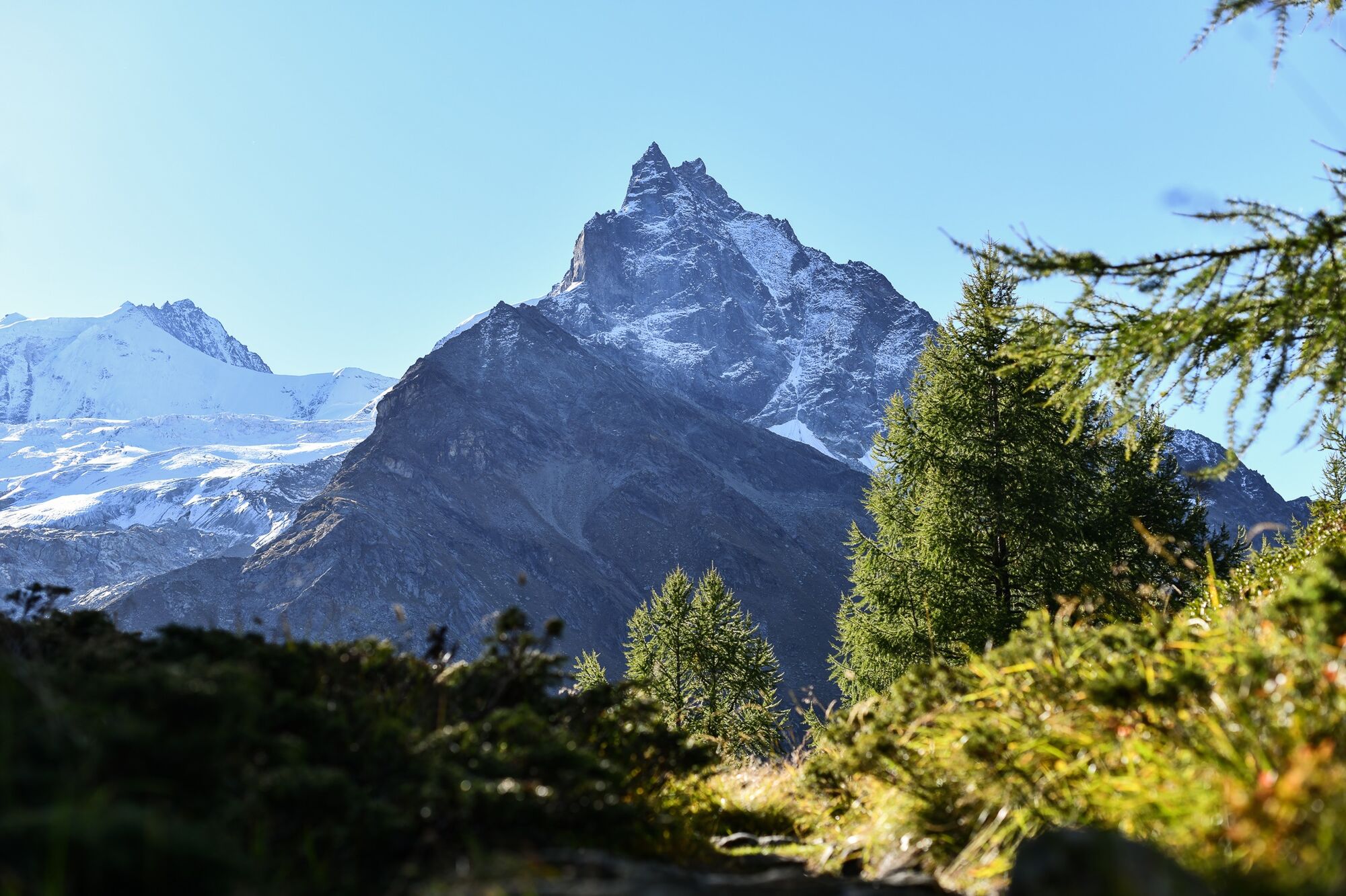
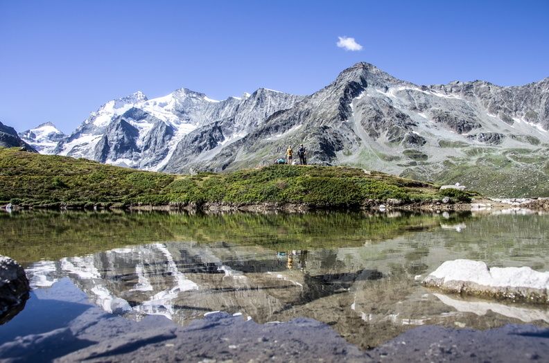
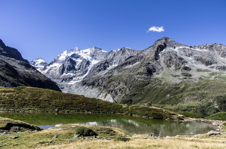
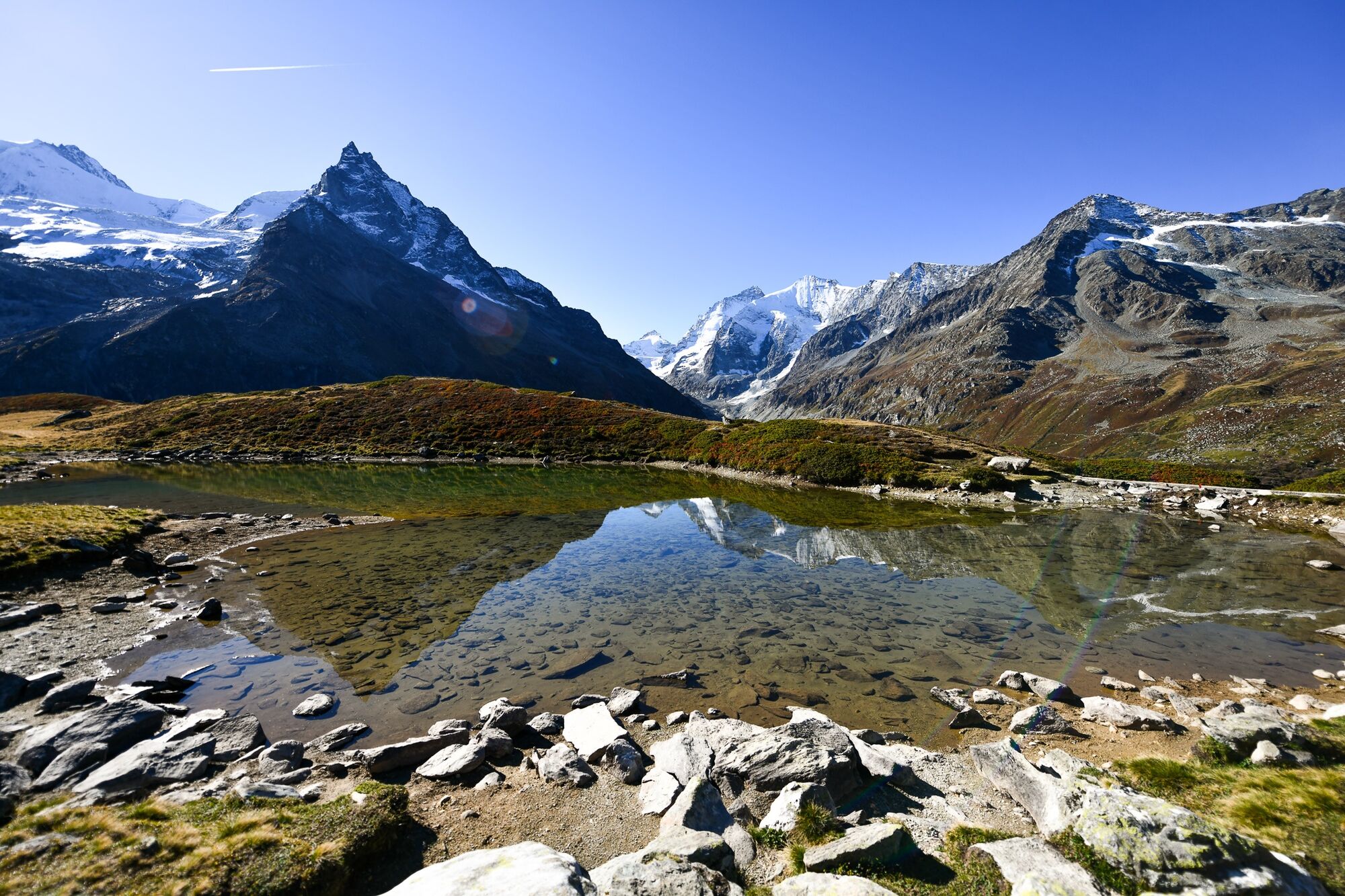
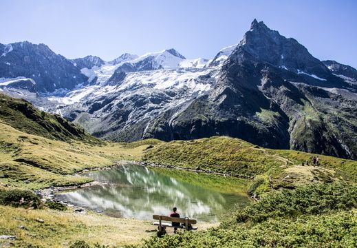
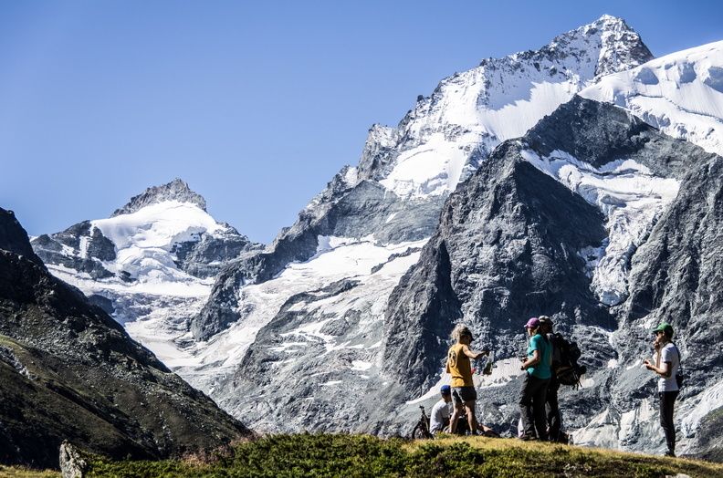
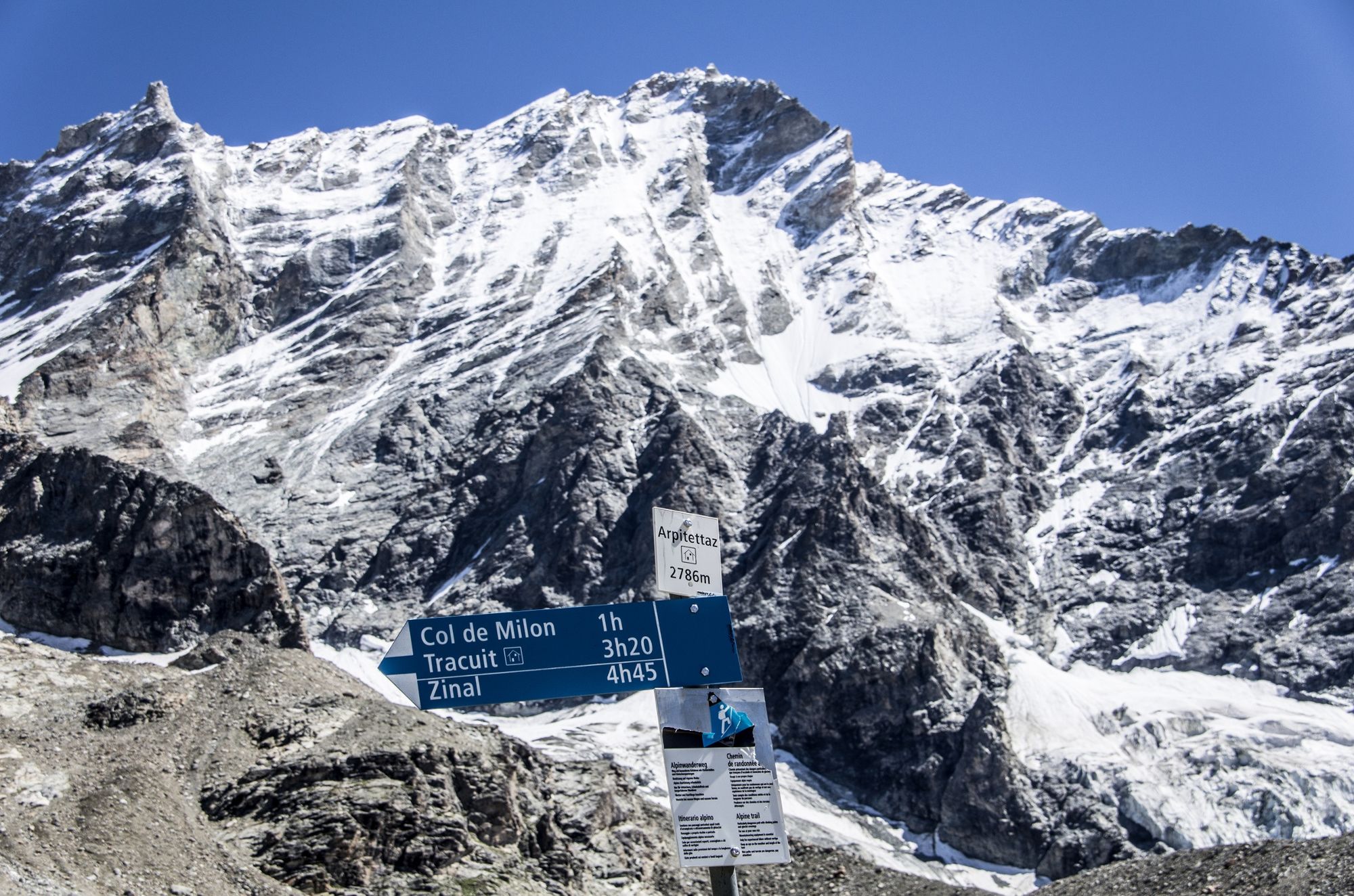
With a spectacular passage along the Arpitettaz lake, this bucolic hike takes you to the foot of the Weisshorn, offering a jaw dropping view of the surrounding glaciers and peaks.
- Moeilijkheid
-
zwaar
- Waardering
-
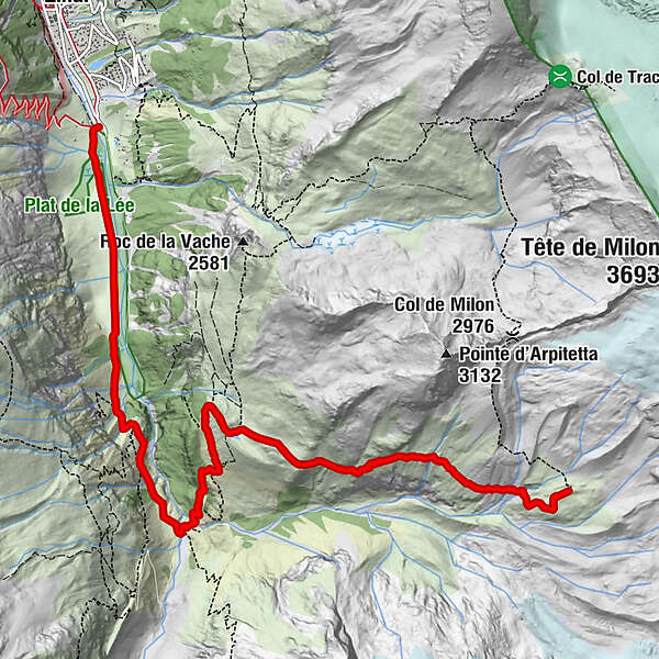
- Route
-
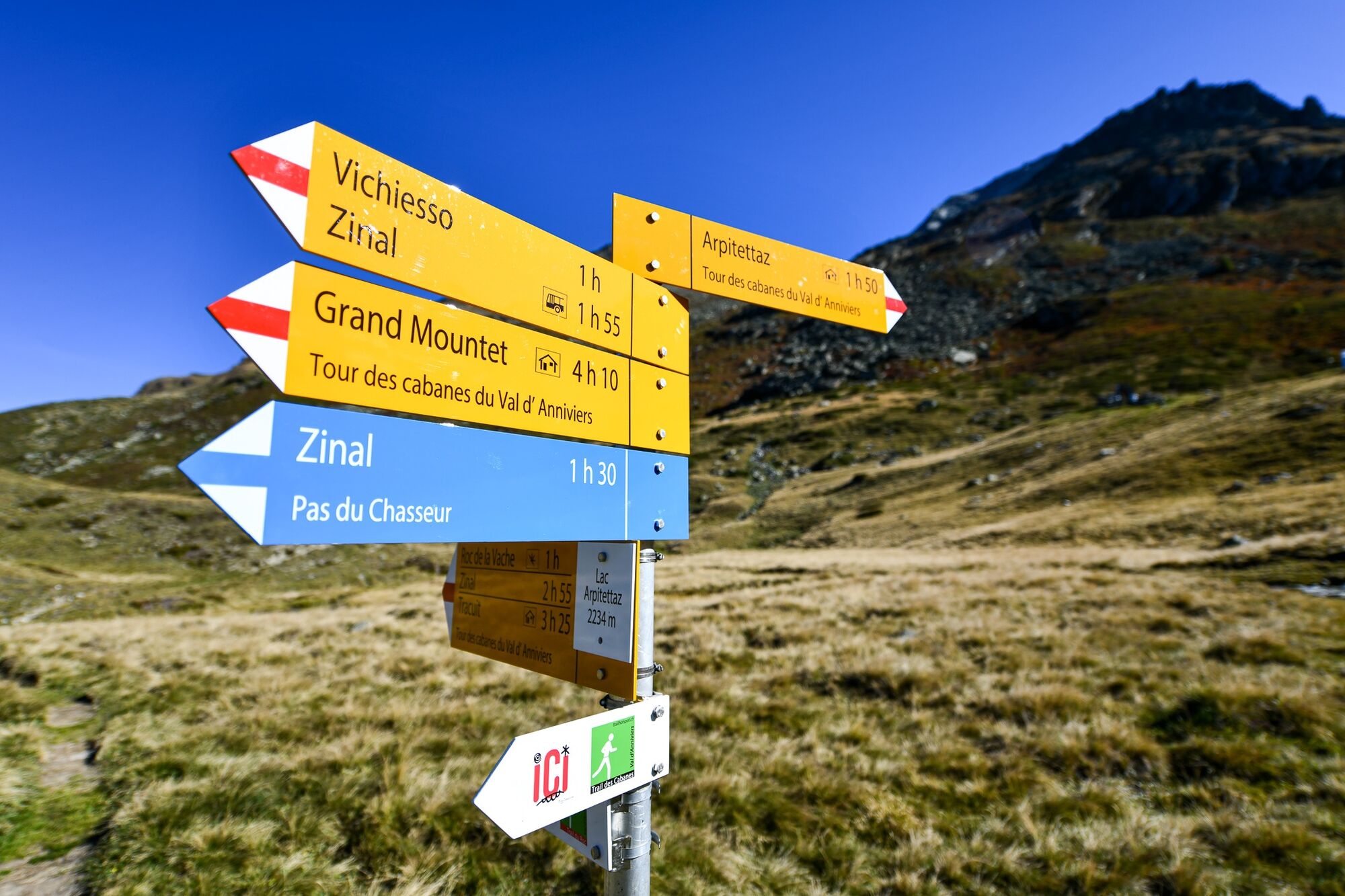
Cascade de la Volermò4,0 km
- Maximale hoogte
- 2.768 m
- Bestemming
-
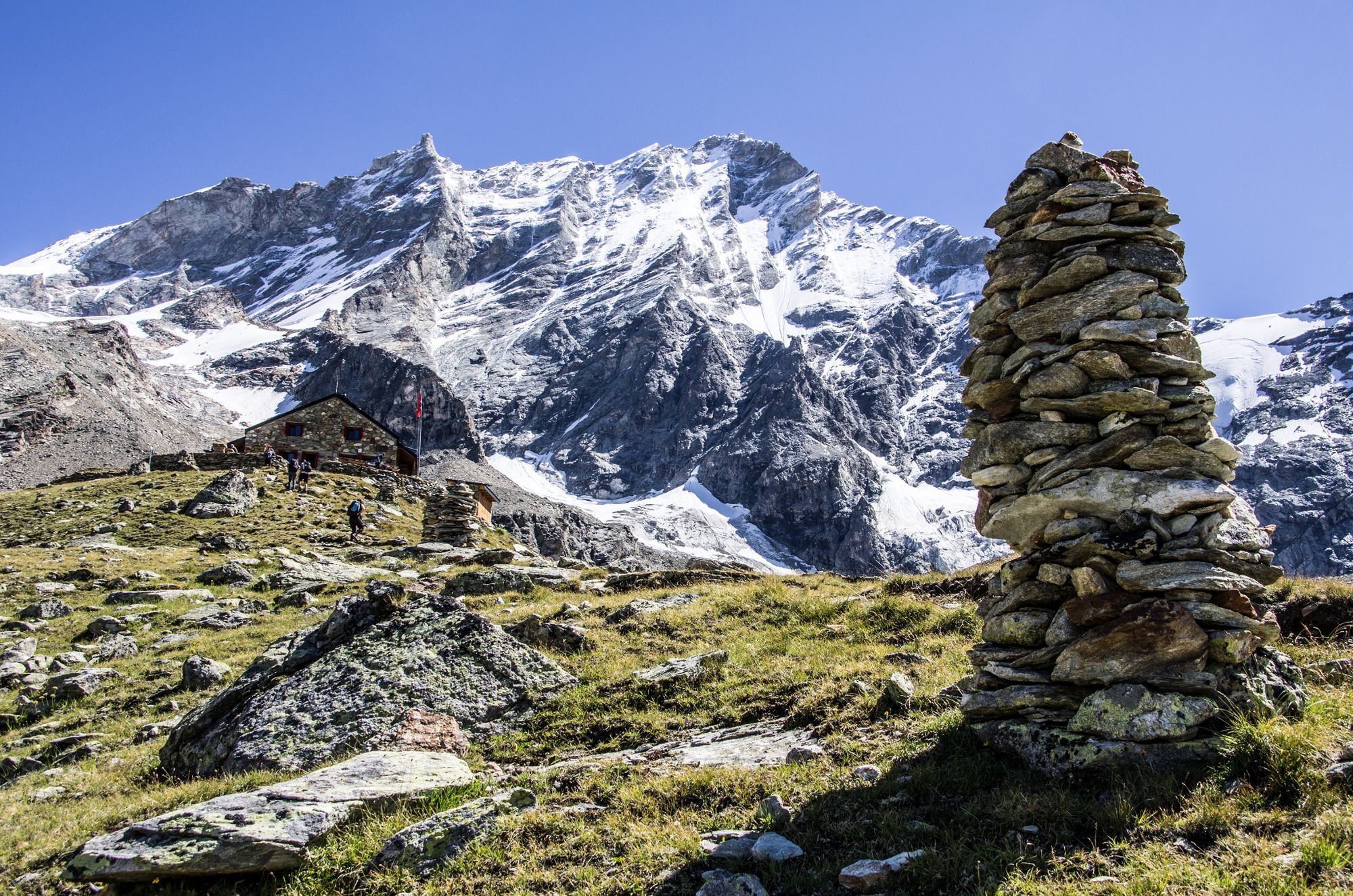
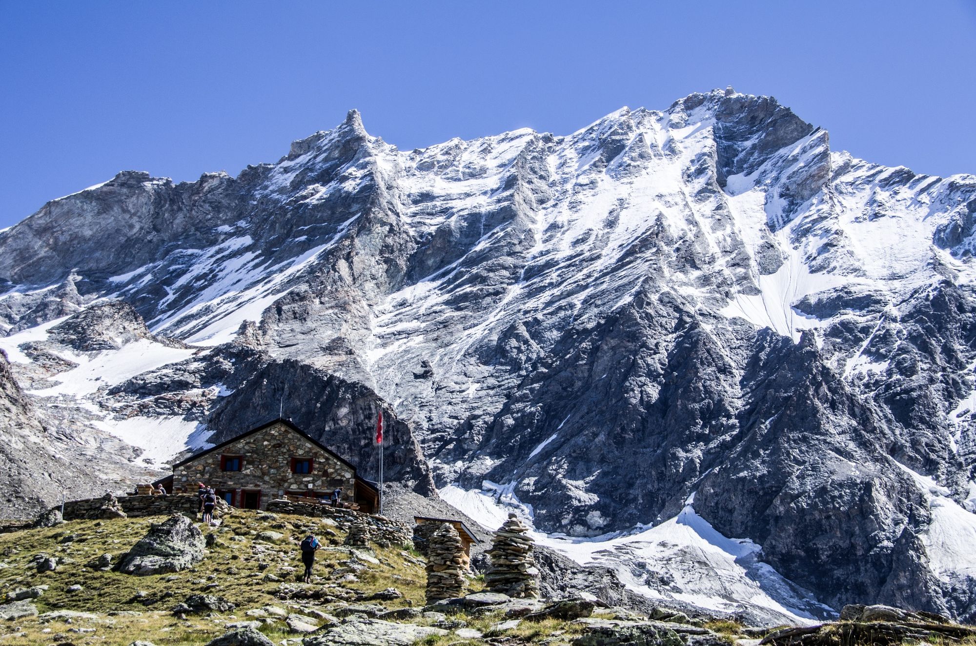
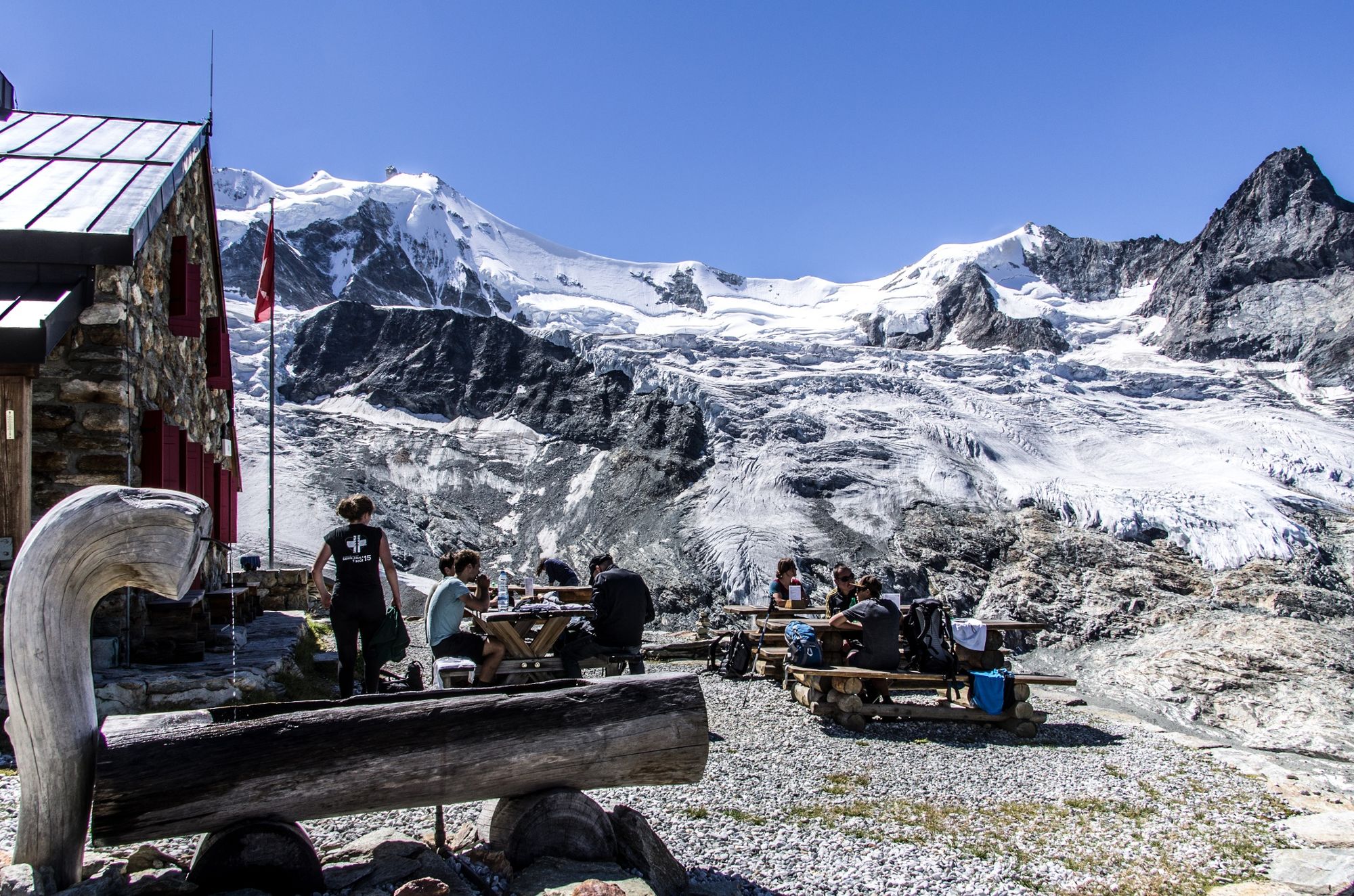
Cabane d'Arpitettaz
- Hoogteprofiel
-
 © outdooractive.com


-

-
AuteurDe rondleiding Zinal - Cabane d'Arpitettaz n°10 wordt gebruikt door outdooractive.com op.
GPS Downloads


Algemene info
Verfrissingsstop
Flora
Meer rondleidingen in de regio's
-
Unterwallis
1196
-
Sierre Anniviers
790
-
Zinal
277
")


