© © PaysduStBernard
© © PaysduStBernard - Gaëtan Tornay
© © PaysduStBernard
© © PaysduStBernard

© Valais/Wallis Promotion - Mégane Roduit

- Korte beschrijving
-
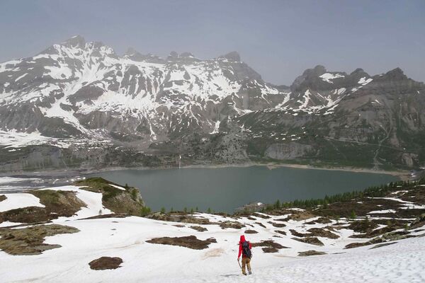
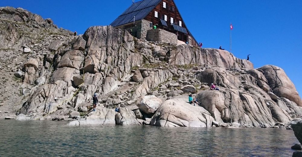
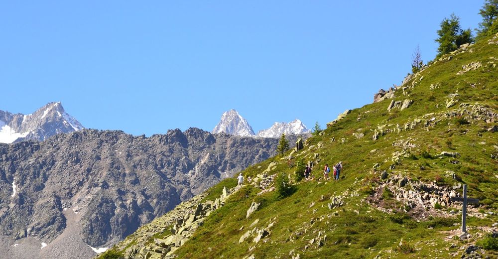
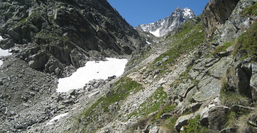
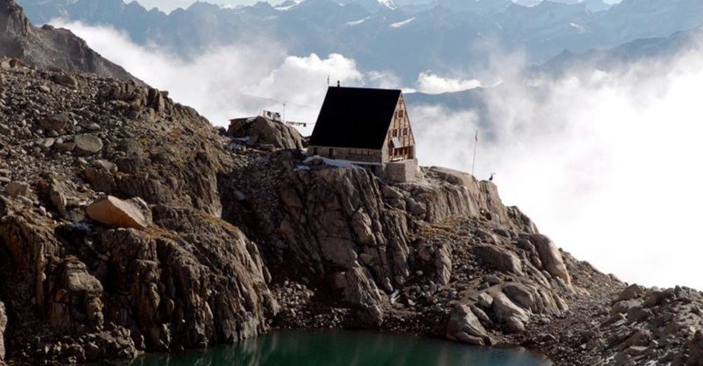
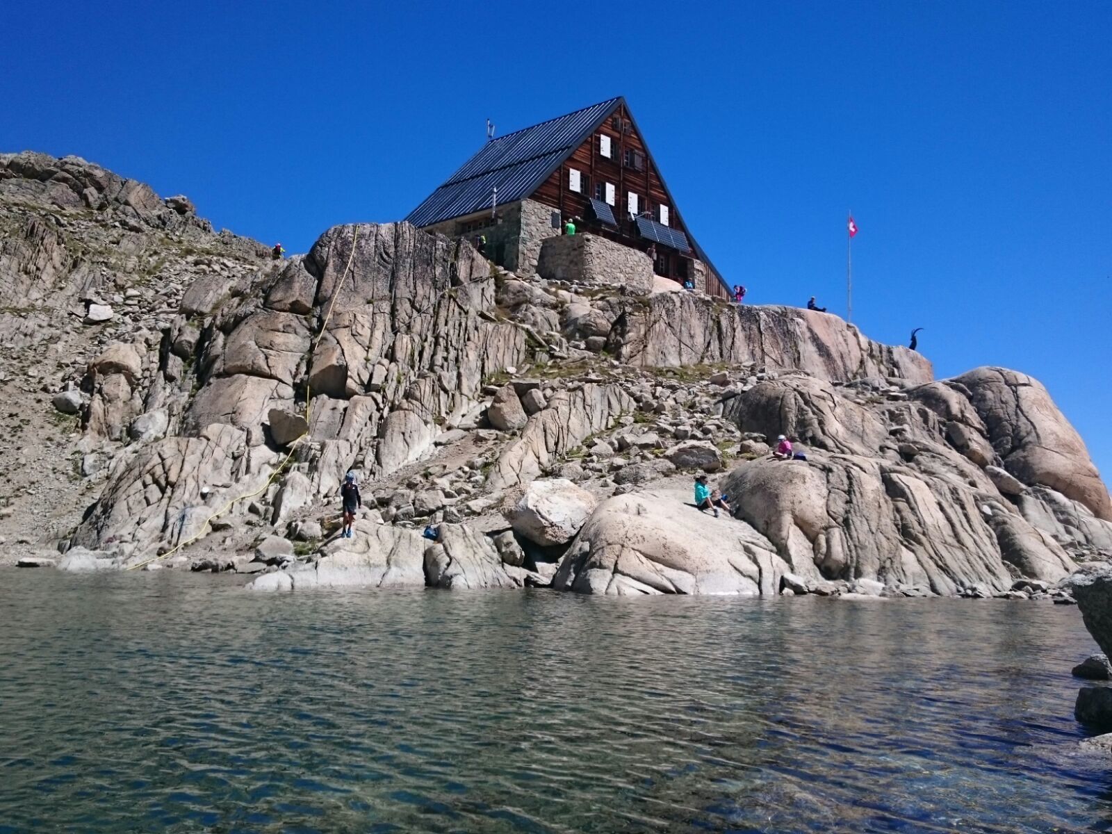
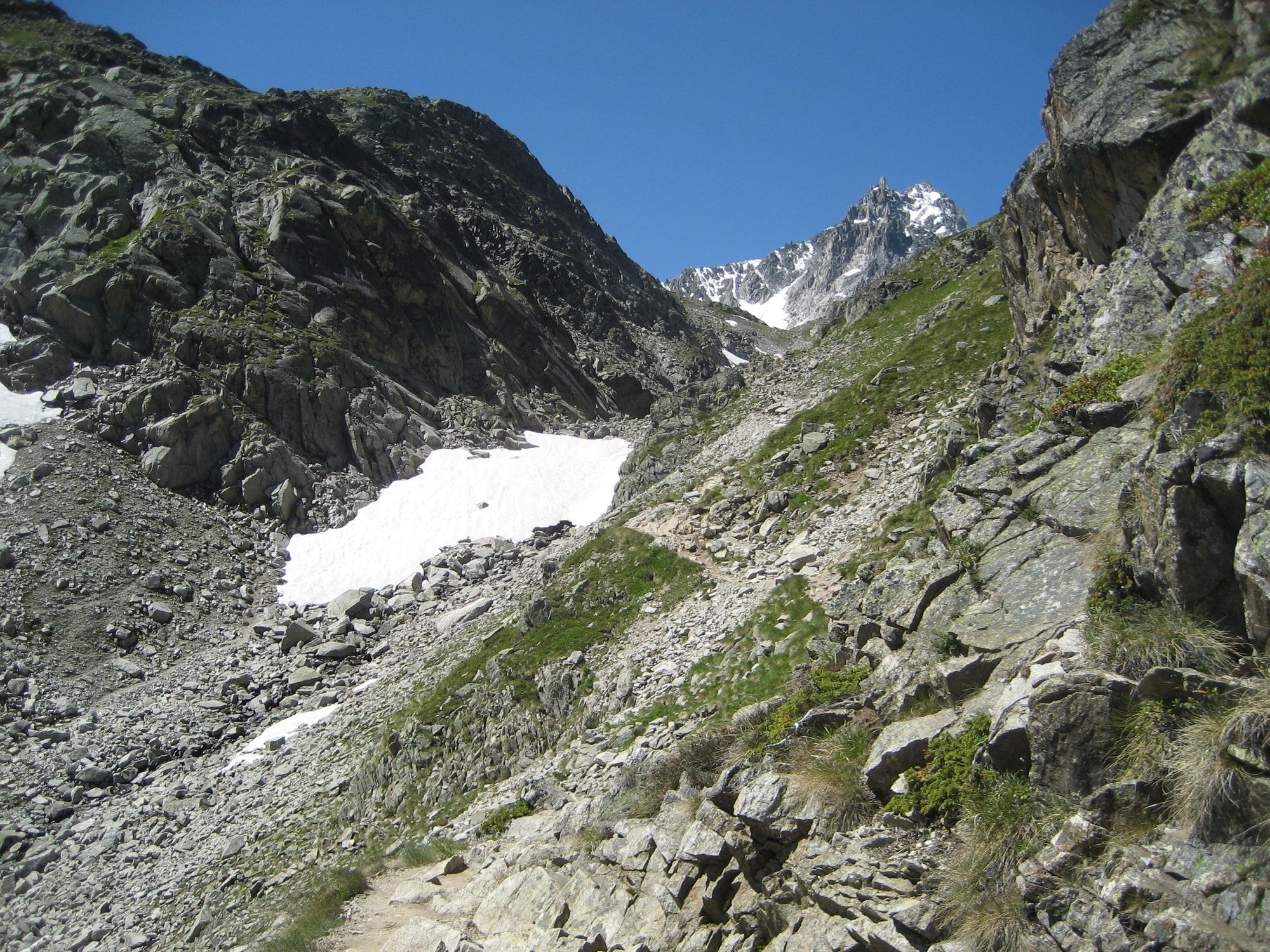
This hike at the foot of the glaciers passes by two mountain huts in the Champex-Lac region and offers a spectacular view of the Mont Blanc massif.
- Moeilijkheid
-
zwaar
- Waardering
-
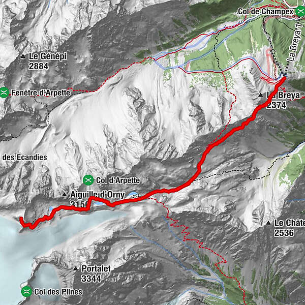
- Route
-
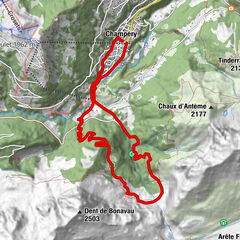
Cabane d'Orny (2.831 m)4,5 kmCabane du Trient (3.170 m)6,6 kmCabane d'Orny (2.831 m)8,7 km
- Beste seizoen
-
janfebmrtaprmeijunjulaugsepoktnovdec
- Maximale hoogte
- 3.155 m
- Bestemming
-
La Breya
- Hoogteprofiel
-
 © outdooractive.com


- Auteur
-
De rondleiding Orny and Trient mountain huts wordt gebruikt door outdooractive.com op.
GPS Downloads


Algemene info
Verfrissingsstop
Helende klimaat
Tip voor insiders
Flora
Fauna
Veelbelovend
Meer rondleidingen in de regio's
-
Portes du Soleil
974
-
Pays du Saint-Bernard
323
-
Champex-Lac
104