
Toerdatums
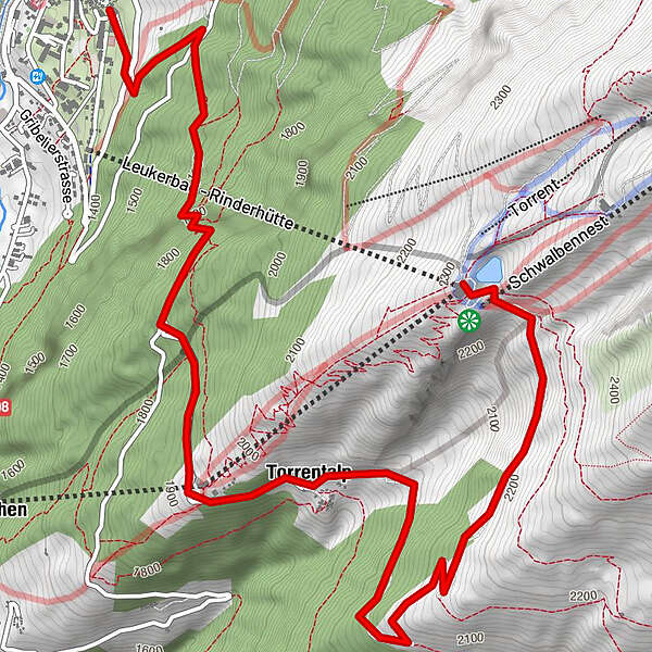
7,02km
1.411
- 2.307m
4hm
04:30h
- Korte beschrijving
-
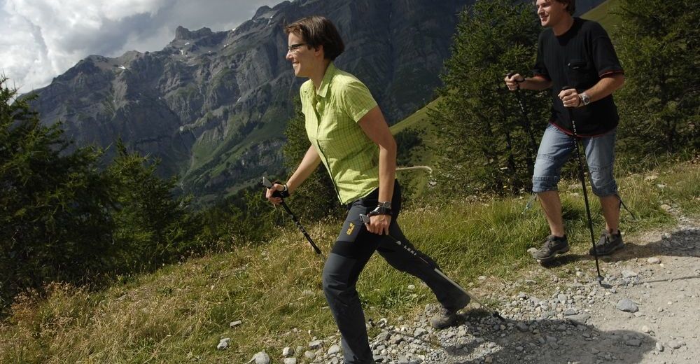
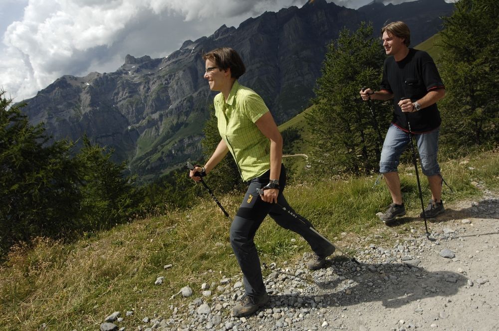
Abwechslungsreiche Wanderung von Leukerbad ins Torrentgebiet
- Waardering
-
- Startpunt
-
Leukerbad
- Route
-
Rinderhütte0,0 kmTorrentalp (1.928 m)3,4 kmBriand3,7 kmAlpengruss3,8 kmLoèche-lès-Bains (1.402 m)6,9 km
- Maximale hoogte
- 2.307 m
- Rust/Retraite
-
Zwei Restaurants in der Mittelstation Torrentalp, Bergrestaurant Rinderhütte
- Kaartmateriaal
-
Das Wanderbooklet ist erhältlich für CHF 2.-- bei den Torrent-Bahnen Leukerbad-Albinen in Leukerbad
GPS Downloads


Condities van het pad
Asfalt
Steenslag
Weide
Bos
Rots
Moeilijk
Meer rondleidingen in de regio's
-
Oberwallis
1875
-
Leuk/Leukerbad
1017
-
Leukerbad
304


