


- Korte beschrijving
-
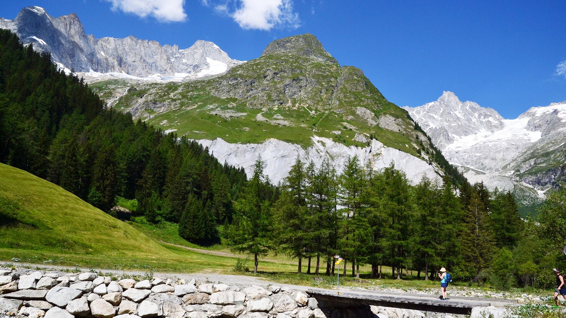
Family hike of medium difficulty.
- Moeilijkheid
-
medium
- Waardering
-
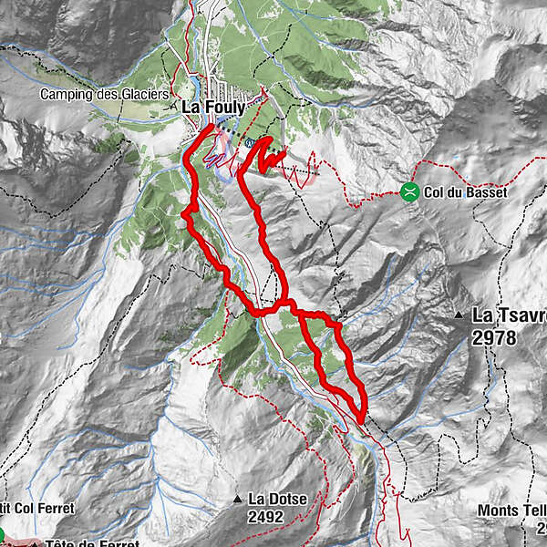
- Route
-
Arpalle 10,0 kmFerret2,6 kmFerret6,3 kmGîte de la Léchère7,1 kmLe Clou8,1 kmLa Fouly8,8 km
- Beste seizoen
-
janfebmrtaprmeijunjulaugsepoktnovdec
- Maximale hoogte
- 1.978 m
- Bestemming
-
La Fouly
- Hoogteprofiel
-
 © outdooractive.com
- Auteur
-
De rondleiding N. 36 Sentier des Bouquetins wordt gebruikt door outdooractive.com op.
GPS Downloads


Algemene info
Verfrissingsstop
Helende klimaat
Veelbelovend
Meer rondleidingen in de regio's
-
Unterwallis
1201
-
Pays du Saint-Bernard
323
-
Val Ferret - La Fouly
113


