

© Stéphanie Marie-Couson - Zermatt Tourismus

© Zermatt - Matterhorn - Zermatt Tourismus

© Zermatt - Matterhorn - Zermatt Tourismus

© Zermatt Tourismus - Richi Lehner

© Zermatt - Matterhorn - Zermatt Tourismus

© Zermatt Tourismus - Richi Lehner

© Zermatt - Matterhorn - Zermatt Tourismus

© Fabienne Schaller - Zermatt Tourismus


- Korte beschrijving
-
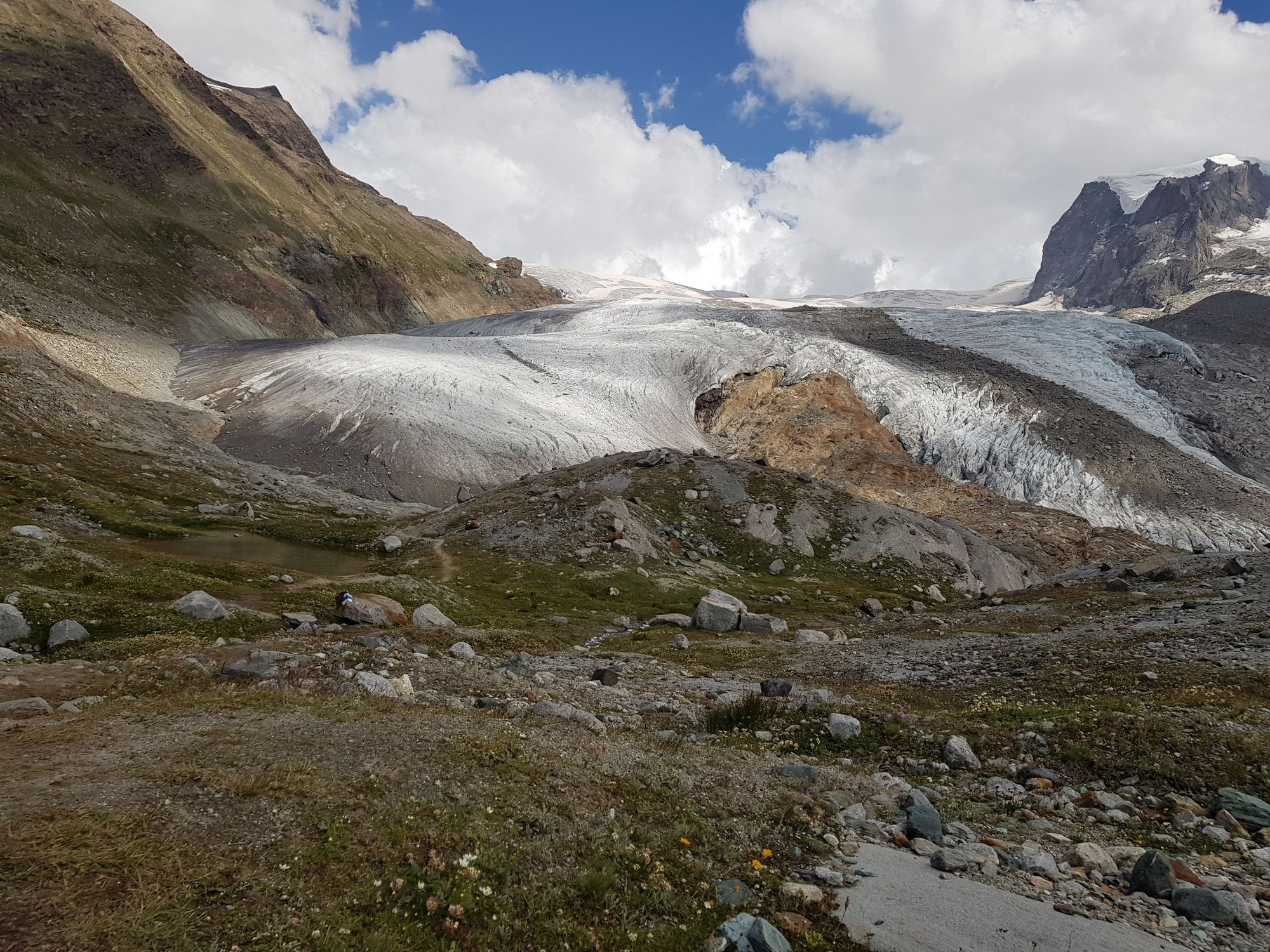
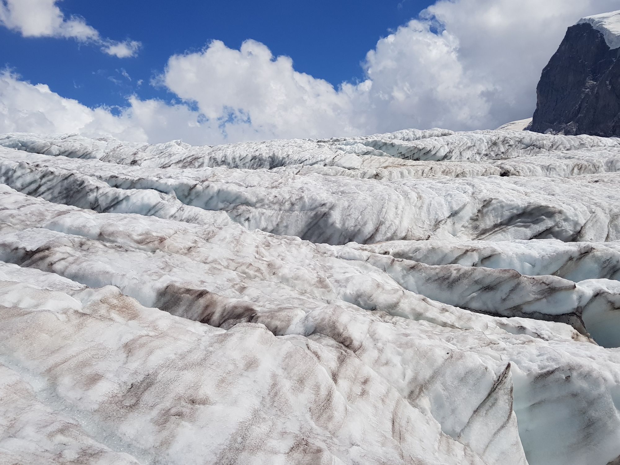
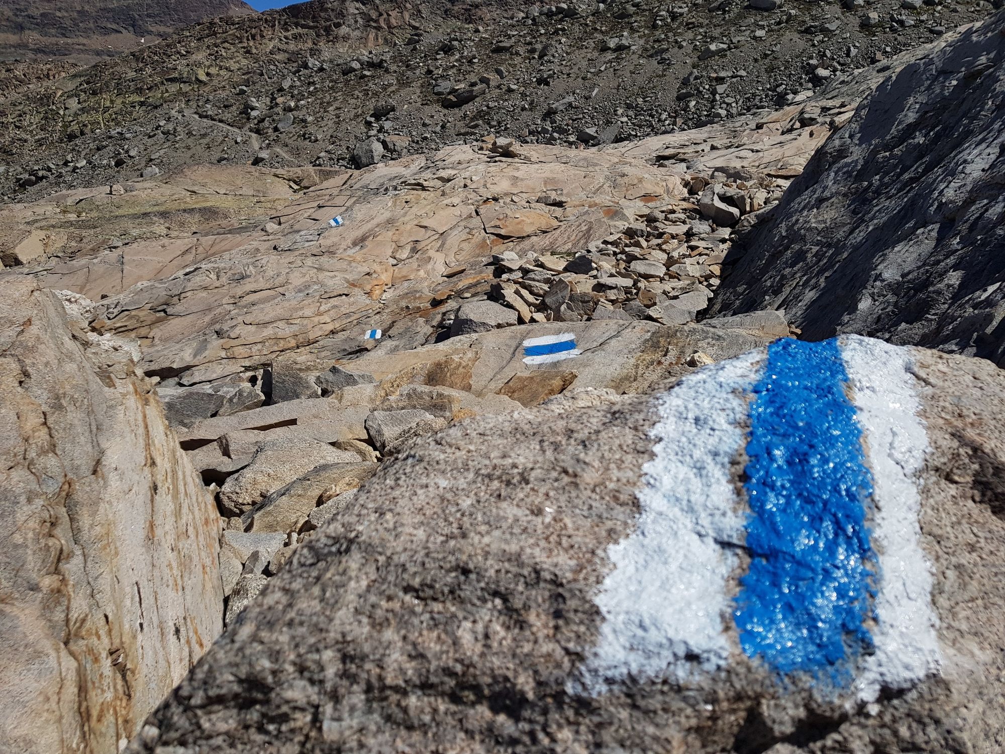
Glacier trekking to the Monte Rosa hut is a unique experience. Instead of a standard hiking trail, the route leads you over glaciers and moraines.
- Moeilijkheid
-
zwaar
- Waardering
-
- Route
-
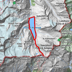
Rotenboden (2.819 m)Monte Rosa Hütte (2.883 m)8,0 km
- Beste seizoen
-
janfebmrtaprmeijunjulaugsepoktnovdec
- Maximale hoogte
- 2.899 m
- Bestemming
-
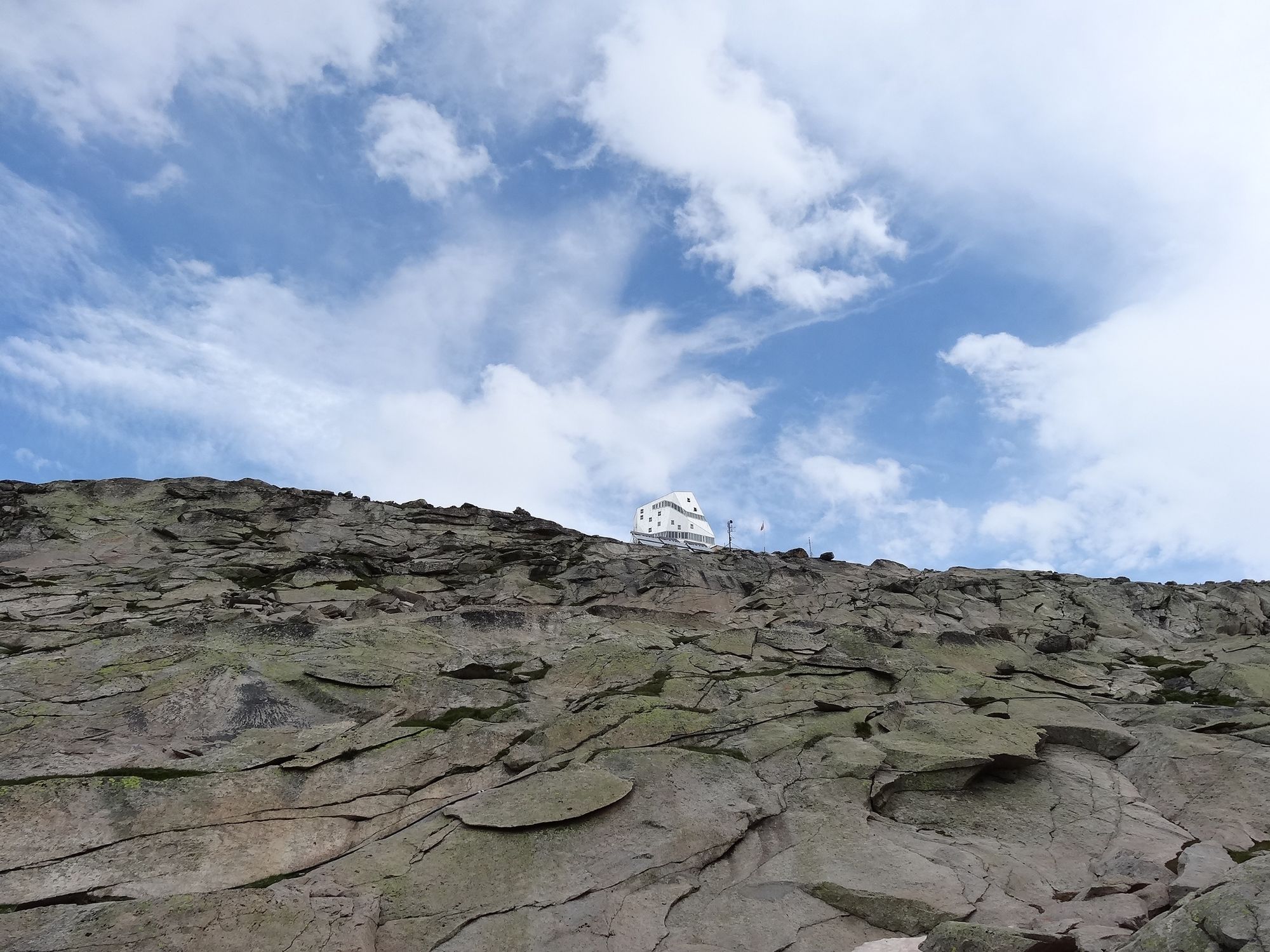
Monte Rosa Hut (2,883 m)
- Hoogteprofiel
-
 © outdooractive.com


- Auteur
-
De rondleiding Glacier trek to the Monte Rosa Hut (Nr. 21a) wordt gebruikt door outdooractive.com op.
GPS Downloads


Algemene info
Verfrissingsstop
Flora
Fauna
Veelbelovend
Meer rondleidingen in de regio's
-
Unterwallis
1196
-
Mattertal
555
-
Zermatt
154

")


