
© Unbekannt - Zermatt Tourismus

© Leander Wenger - Zermatt Tourismus

- Korte beschrijving
-
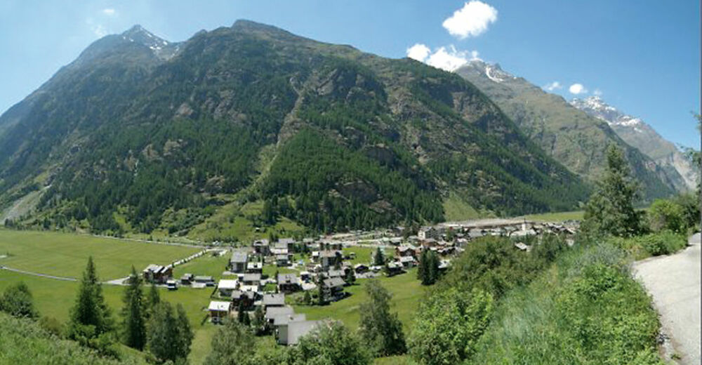
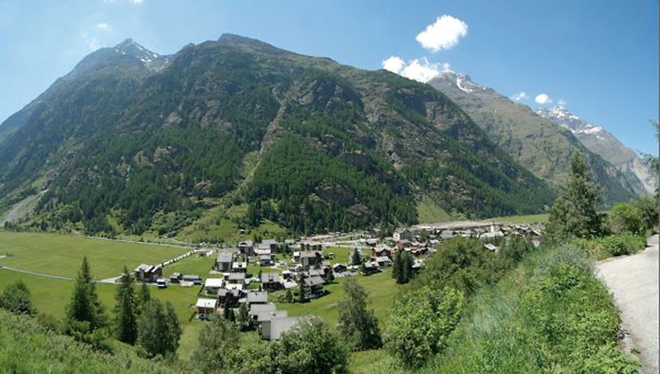
The panorama reflects the topography: the valley floor is deep, the mountains all around extremely high. The views of the Breithorn and Klein Matterhorn are enchanting. A good opportunity to observe the mountain forest close up.
- Moeilijkheid
-
gemakkelijk
- Waardering
-
- Route
-
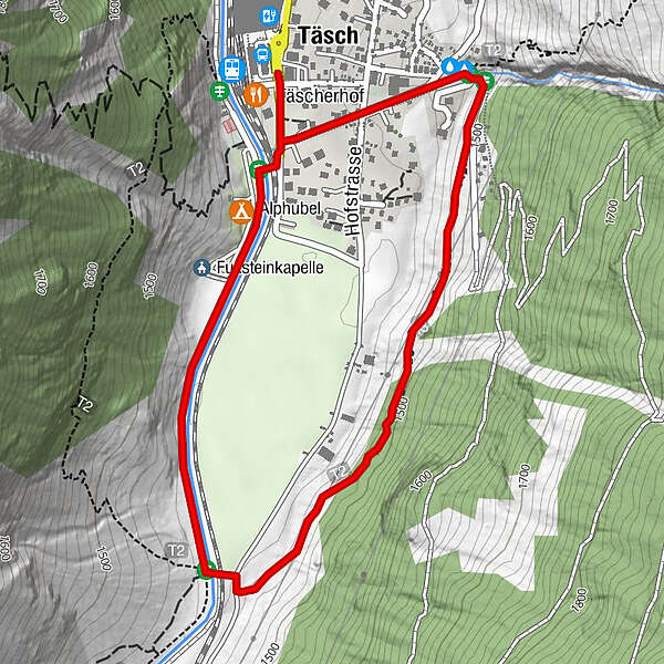
Täscherhof0,0 kmRestaurant Walliserkanne2,9 kmTäsch (1.449 m)2,9 km
- Beste seizoen
-
janfebmrtaprmeijunjulaugsepoktnovdec
- Maximale hoogte
- 1.481 m
- Bestemming
-
Täsch (1,450 m)
- Hoogteprofiel
-
 © outdooractive.com
- Auteur
-
De rondleiding Täsch Panorama Trail (Nr. 43) wordt gebruikt door outdooractive.com op.
GPS Downloads


Algemene info
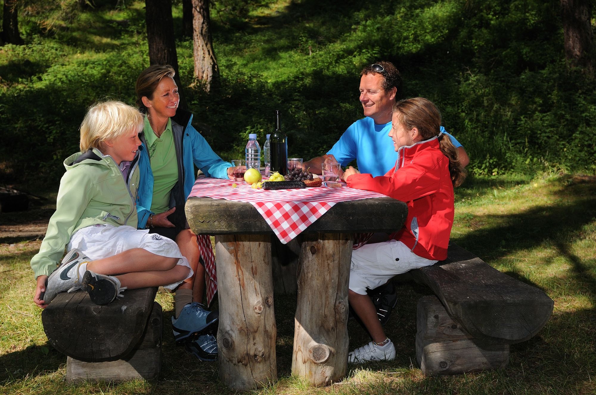
Verfrissingsstop
Flora
Fauna
Meer rondleidingen in de regio's
-
Oberwallis
1873
-
Mattertal
555
-
Täsch
195


")


