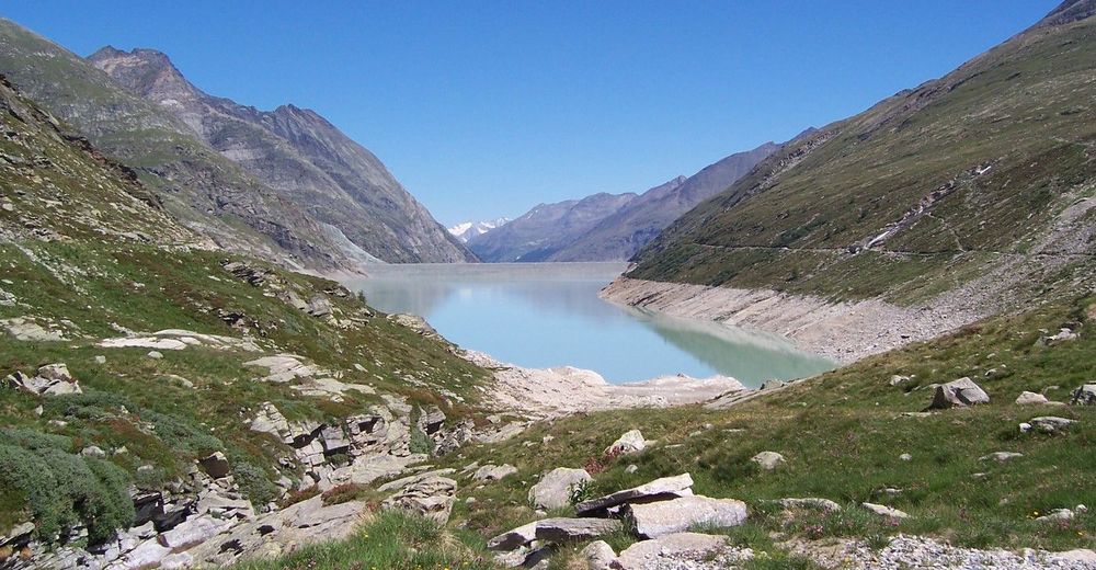
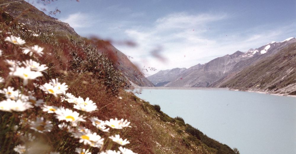
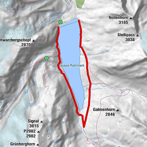
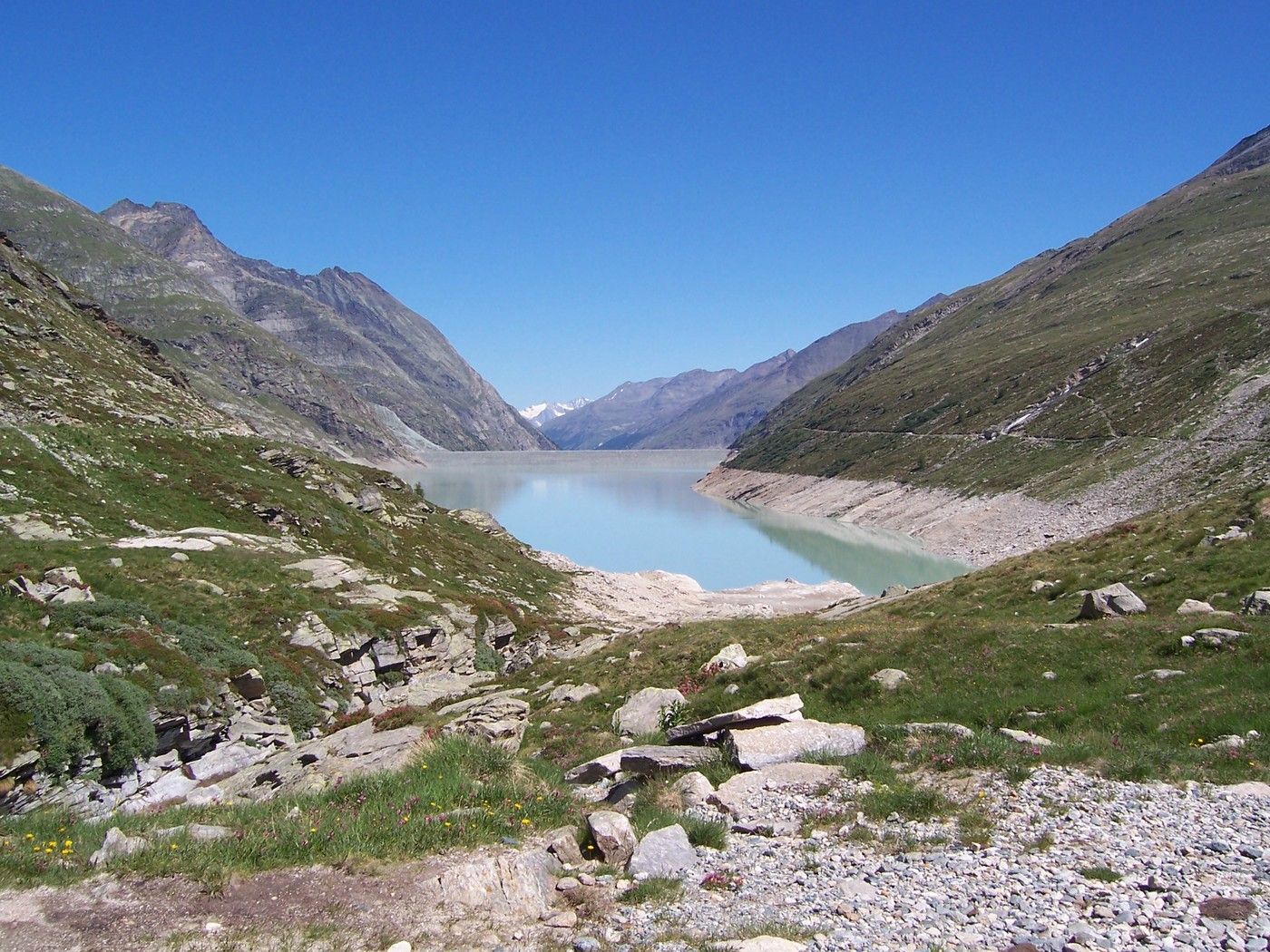
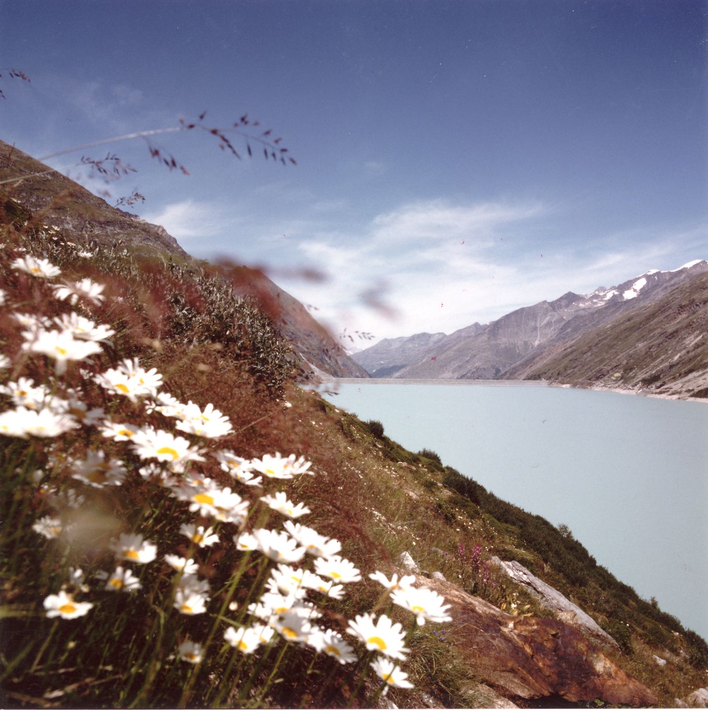
Staudamm Mattmark - Distelalp - Tälliboden - Ofental - Staudamm Mattmark

Wandelen
Toerdatums
8,01km
2.194
- 2.353m
394hm
03:30h
- Waardering
-
- Maximale hoogte
- 2.353 m
GPS Downloads


Meer rondleidingen in de regio's
-
Oberwallis
1872
-
Saastal
484
-
Saas-Almagell
96


