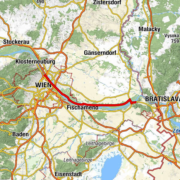
Danube Cycle Path, stage 8, north bank: Vienna/Nordbrücke - Hainburg

Lange afstand fietsroute
© Donau Niederösterreich Tourismus GmbH - Donau Niederösterreich/Steve Haider
© Donau Niederösterreich/Steve Haider
© Donau Niederösterreich/Steve Haider
© Donau Niederösterreich Tourismus GmbH - Steve Haider

- Korte beschrijving
-
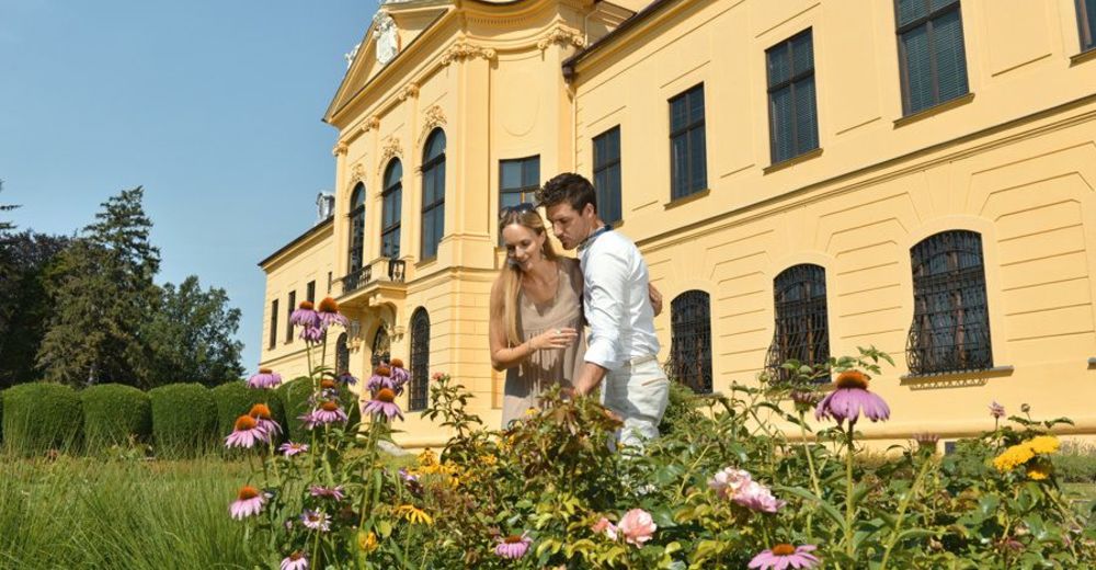
Appealing contrasts
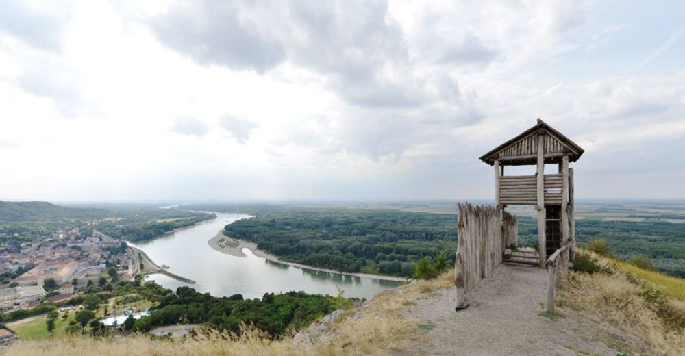
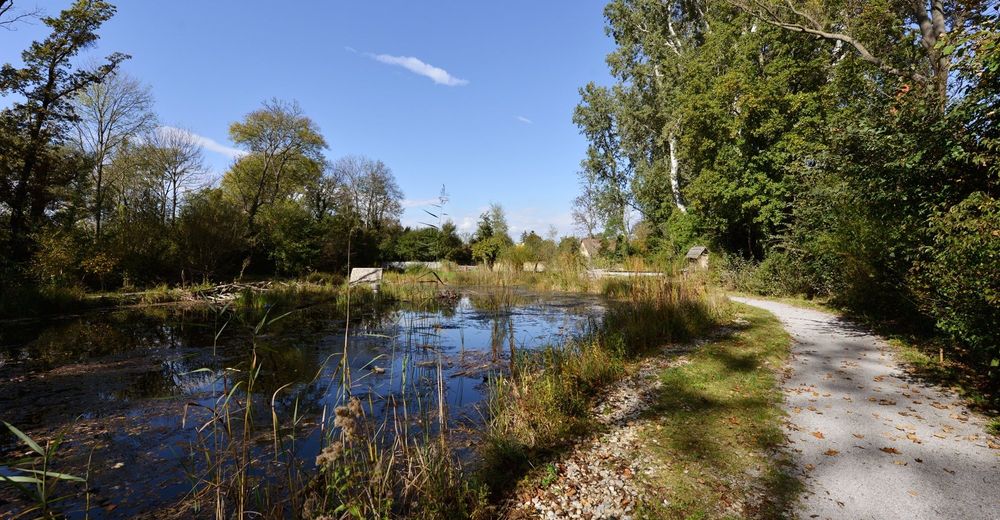
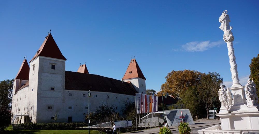
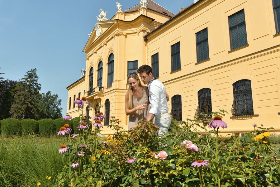
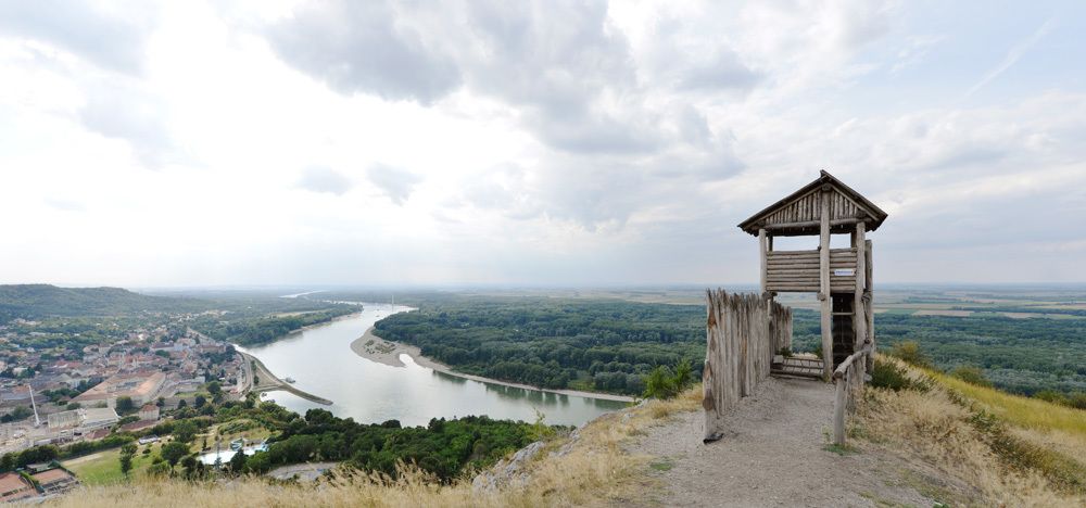
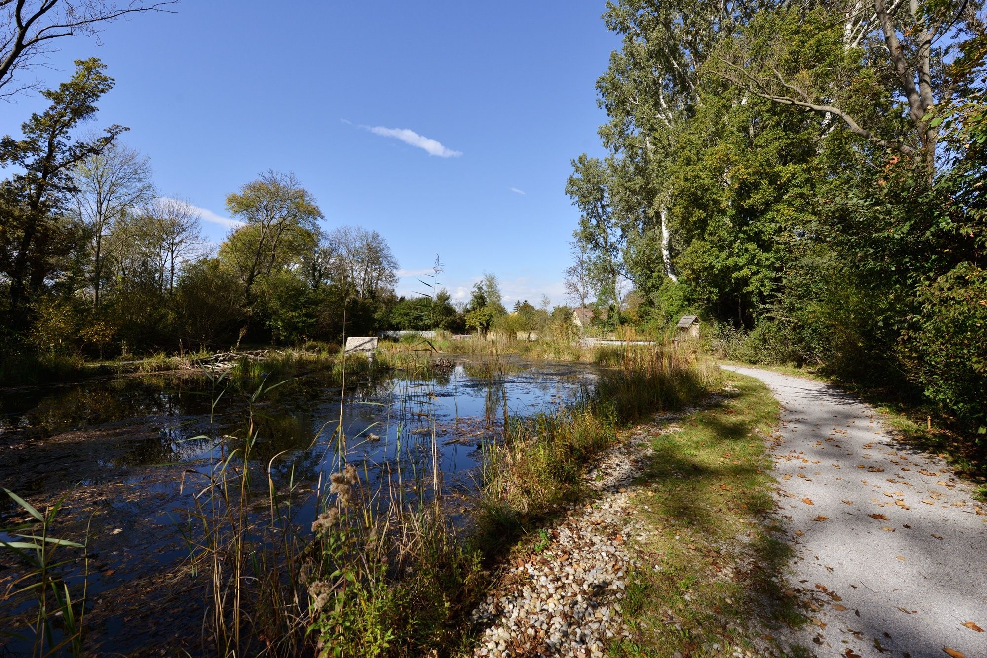
You see a lot of the Danube only at the start of the eighth stage. After that the bike path passes through the Danube Wetlands National Park, which is no less scenic. The destination on this leg is Austria’s eastern-most city Hainburg. This community on the Slovak border has many attractions, from an old castle to a modern Lutheran church.
Please note:
- Due to construction works between Eckartsau and Stopfenreuth, the River Danube Cycle Trail will be diverted probably until 2021. A diversion route has been created with separate signposting. The diversion is approx. 7 km longer than the original route.
- Moeilijkheid
-
medium
- Waardering
-
- Route
-
Floridsdorfer Brücke1,1 kmNeue Donau1,5 kmVienna (542 m)4,0 kmKaisermühlen4,1 kmInseltreff Barbados6,5 kmToni's Inselgrill7,5 kmSchönau an der Donau23,6 kmStopfenreuth44,0 kmHainburg an der Donau Kulturfabrik49,8 kmHainburg an der Donau (161 m)50,3 km
- Beste seizoen
-
janfebmrtaprmeijunjulaugsepoktnovdec
- Maximale hoogte
- 166 m
- Bestemming
-
Hainburg
- Hoogteprofiel
-


- Auteur
-
De rondleiding Danube Cycle Path, stage 8, north bank: Vienna/Nordbrücke - Hainburg wordt gebruikt door outdooractive.com op.
GPS Downloads


Algemene info
Verfrissingsstop
Cultureel/Historisch
Meer rondleidingen in de regio's

