


alpannonia® 4-Castles-Route


Foto's van onze gebruikers
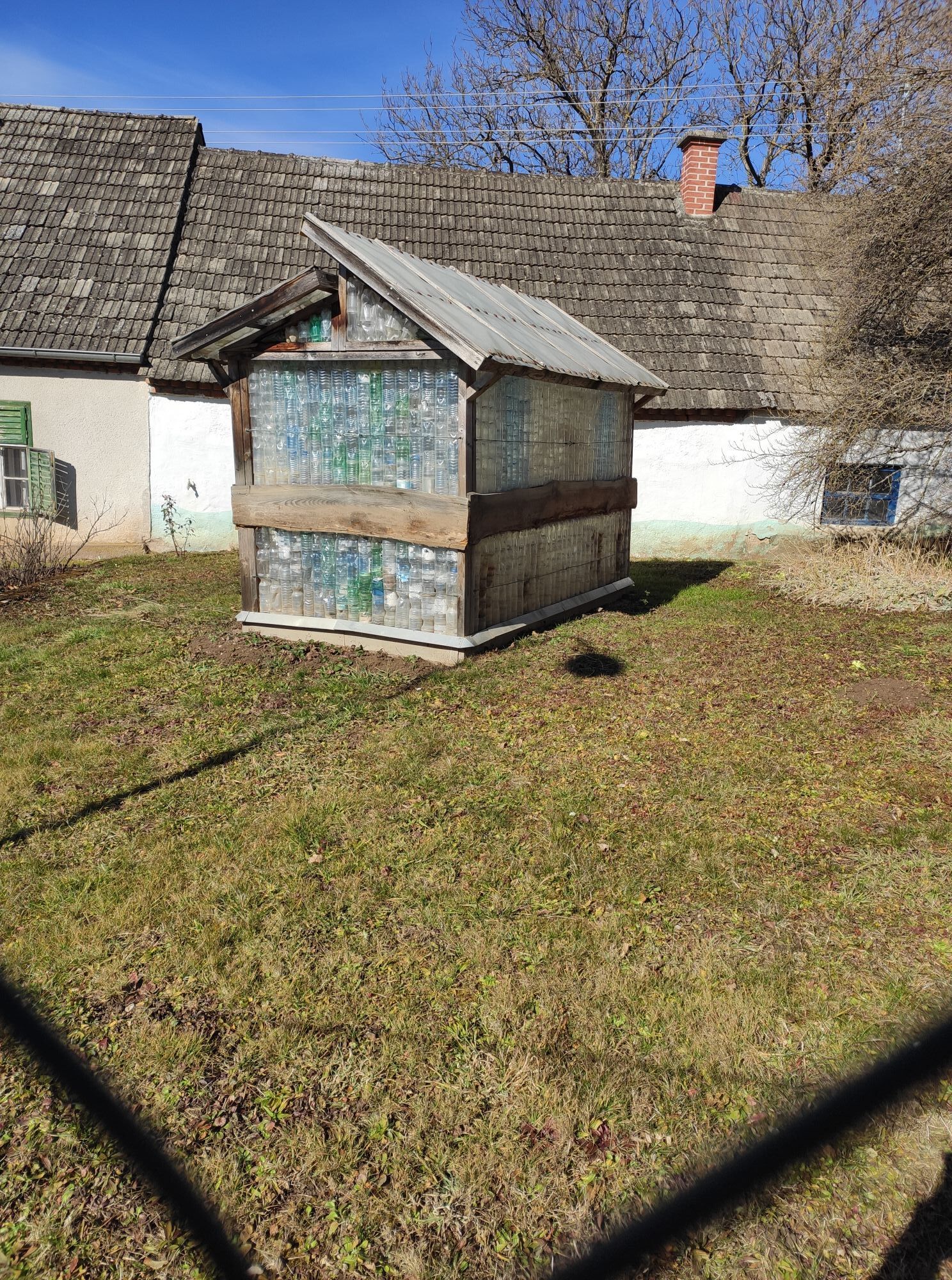
 © Thomas KuncicGemaakt op 18.11.2025
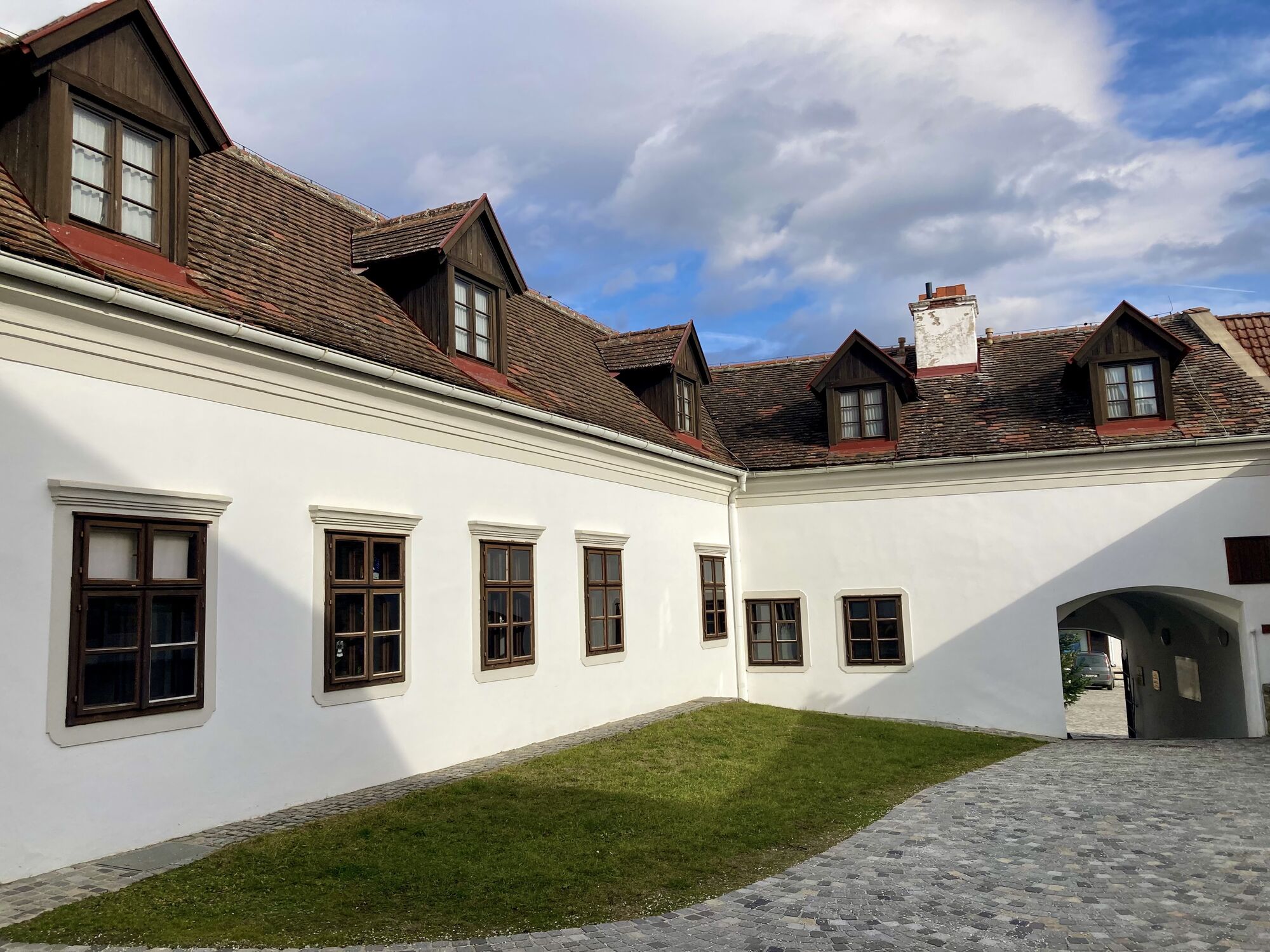
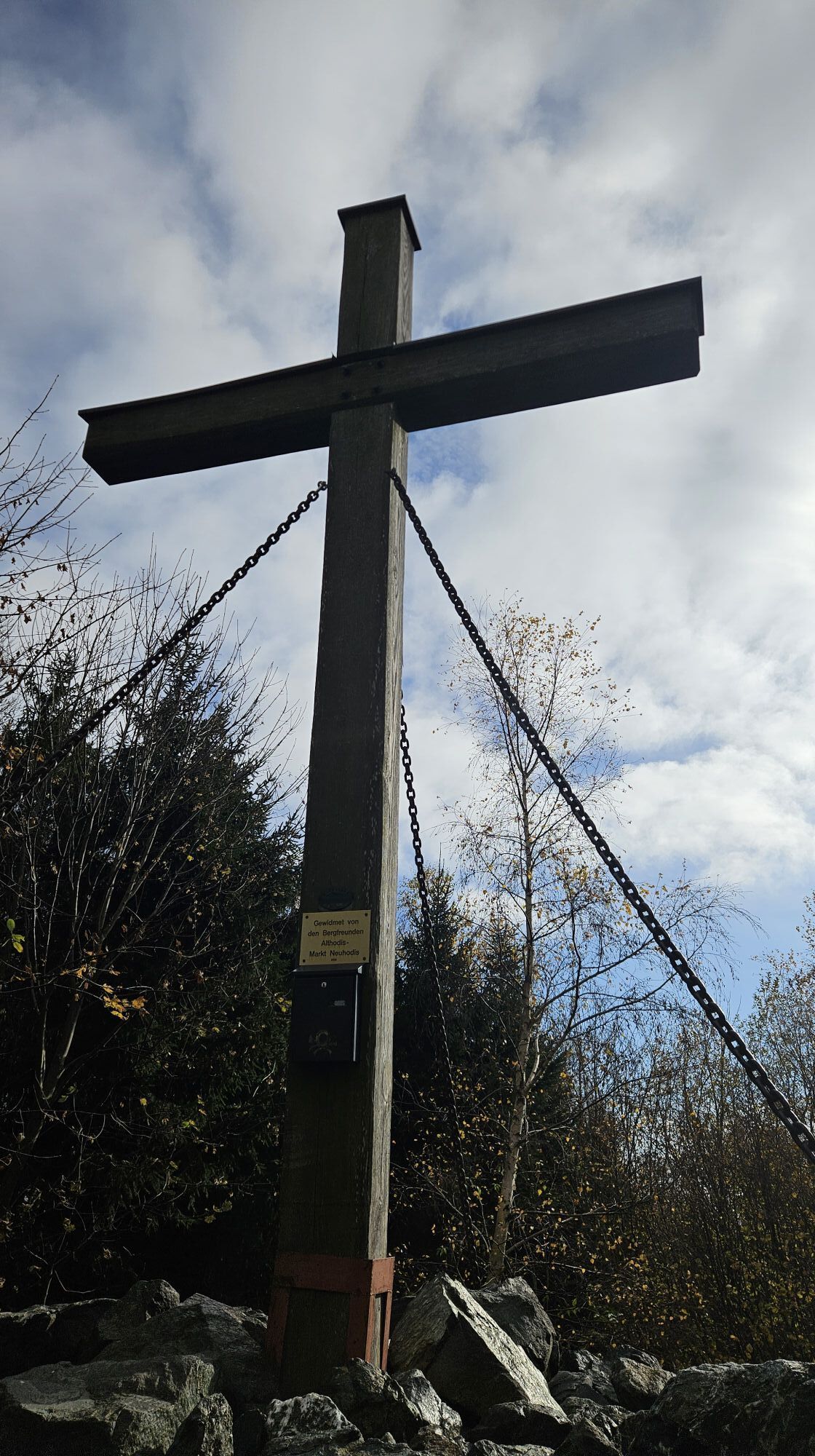
 © Richard HuberGemaakt op 09.11.2025
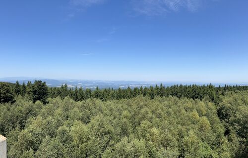
 © Ágnes KecskésGemaakt op 09.08.2025
 © Ágnes KecskésGemaakt op 09.08.2025
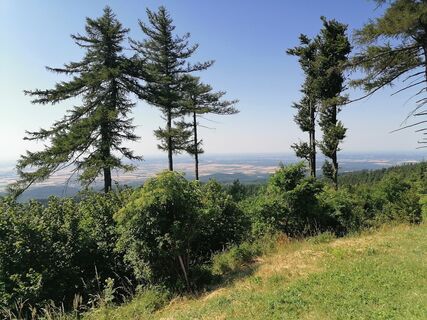
 © Varga TamásGemaakt op 06.07.2025
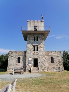 © Varga TamásGemaakt op 06.07.2025
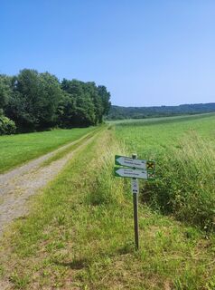 © stuebiGemaakt op 10.06.2025
 © stuebiGemaakt op 10.06.2025
 © stuebiGemaakt op 20.04.2025
 © stuebiGemaakt op 20.04.2025
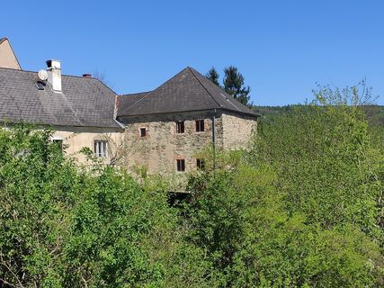 © stuebiGemaakt op 20.04.2025
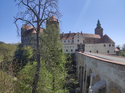 © stuebiGemaakt op 20.04.2025
 © stuebiGemaakt op 20.04.2025
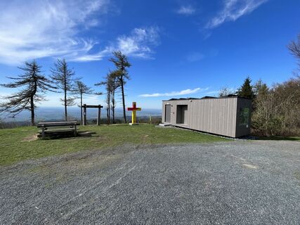 © Stefan WusitsGemaakt op 20.04.2025
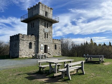 © Stefan WusitsGemaakt op 20.04.2025
 © Stefan WusitsGemaakt op 20.04.2025
 © Stefan WusitsGemaakt op 20.04.2025
 © Stefan WusitsGemaakt op 20.04.2025
 © Stefan WusitsGemaakt op 20.04.2025
 © Ingrid HGemaakt op 27.03.2025
 © Ingrid HGemaakt op 27.03.2025
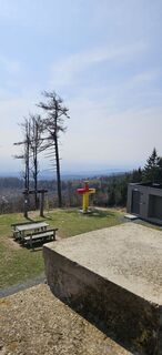 © Ingrid HGemaakt op 27.03.2025
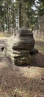 © Ingrid HGemaakt op 27.03.2025
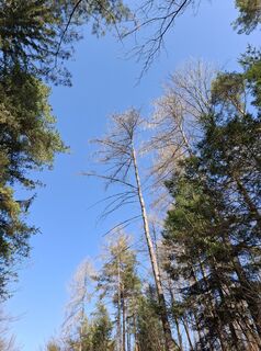
 © AnitaGemaakt op 09.03.2025
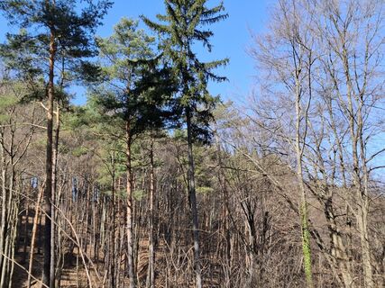 © AnitaGemaakt op 09.03.2025
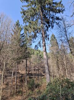 © AnitaGemaakt op 09.03.2025
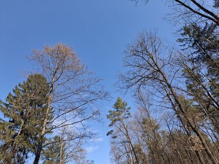 © AnitaGemaakt op 09.03.2025
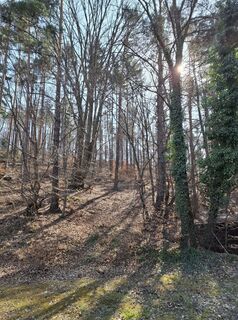 © AnitaGemaakt op 09.03.2025
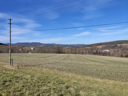 © stuebiGemaakt op 02.03.2025
 © stuebiGemaakt op 02.03.2025
 © CTGemaakt op 28.01.2025
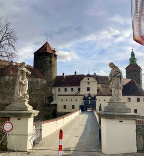 © CTGemaakt op 28.01.2025
 © CTGemaakt op 28.01.2025
 © Soma GyimesiGemaakt op 02.11.2024
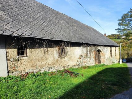 © stuebiGemaakt op 20.10.2024
 © Martina Abraham 1Gemaakt op 29.10.2024
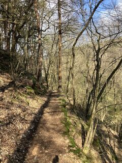
 © Christian KakuskaGemaakt op 19.03.2024
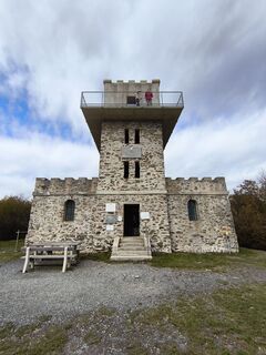
 © Péter SzabóGemaakt op 28.10.2025
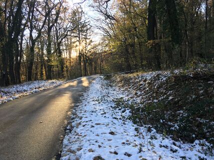
 © Gyula GerecsGemaakt op 23.11.2024
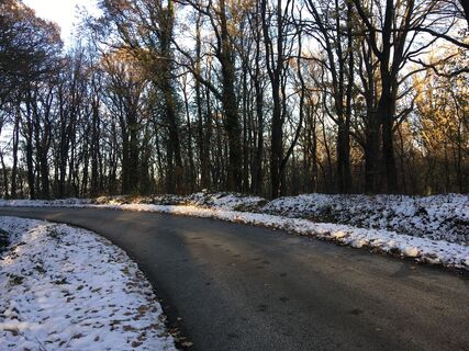 © Gyula GerecsGemaakt op 23.11.2024
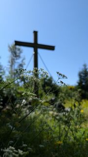
 © Klaus LehnerGemaakt op 31.07.2024
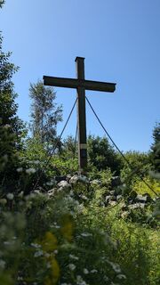 © Klaus LehnerGemaakt op 31.07.2024
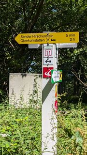 © Klaus LehnerGemaakt op 31.07.2024
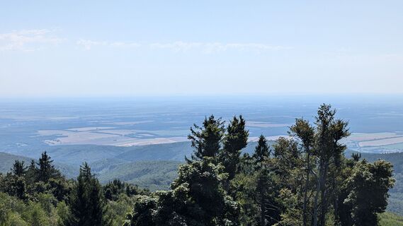 © Klaus LehnerGemaakt op 31.07.2024
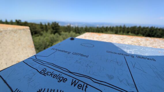 © Klaus LehnerGemaakt op 31.07.2024
 © Klaus LehnerGemaakt op 31.07.2024
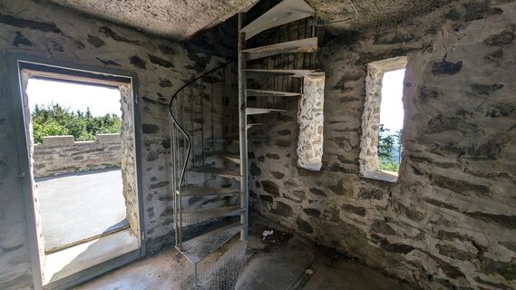 © Klaus LehnerGemaakt op 31.07.2024
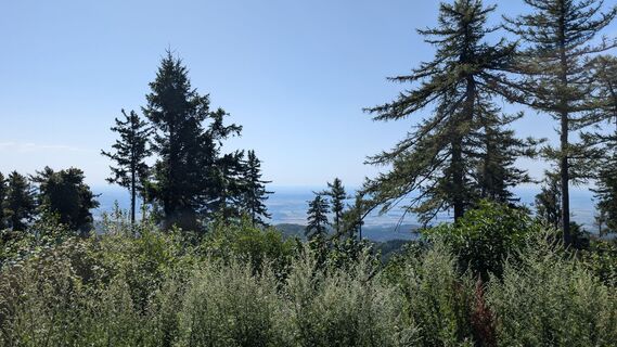 © Klaus LehnerGemaakt op 31.07.2024
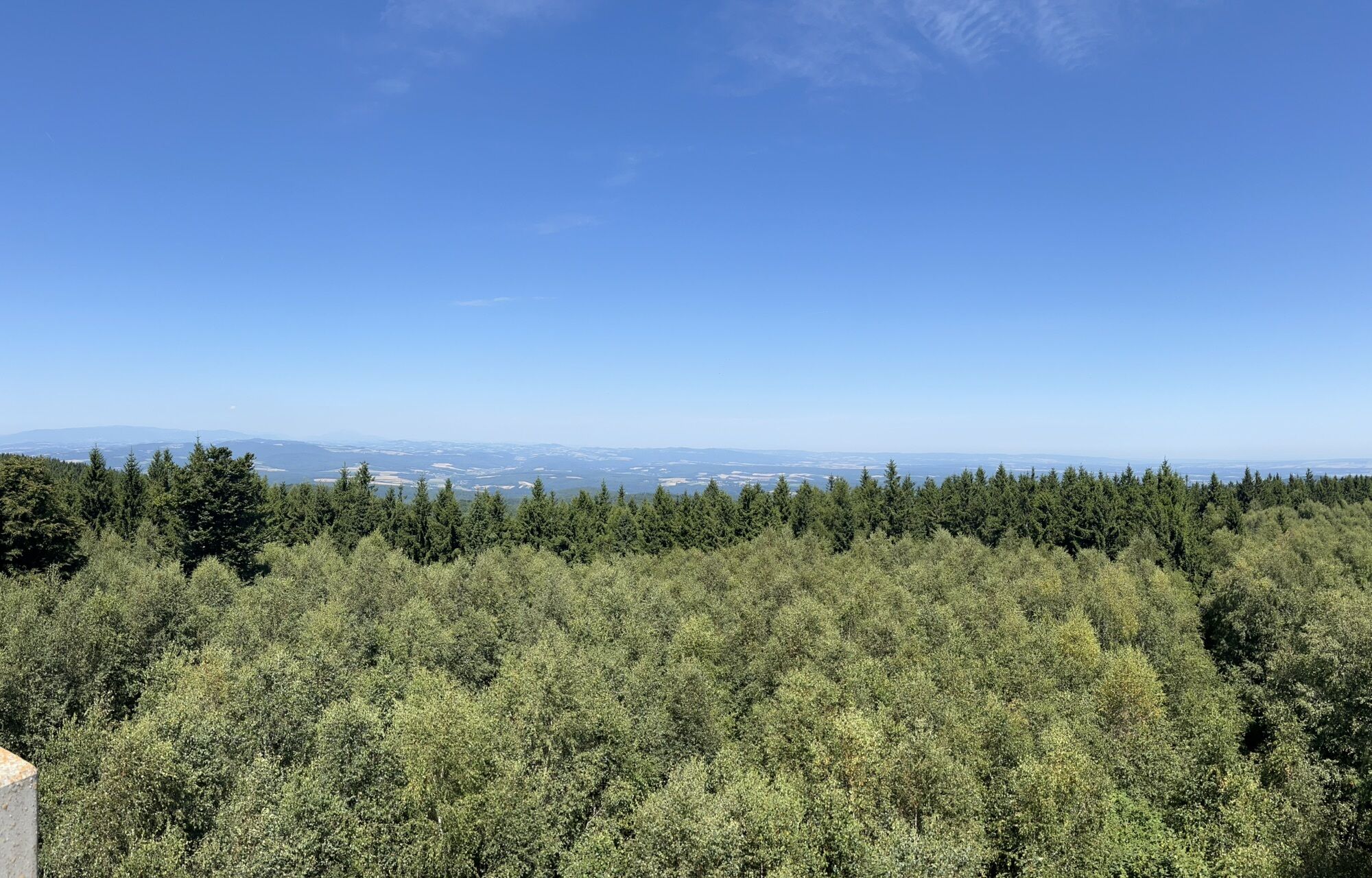
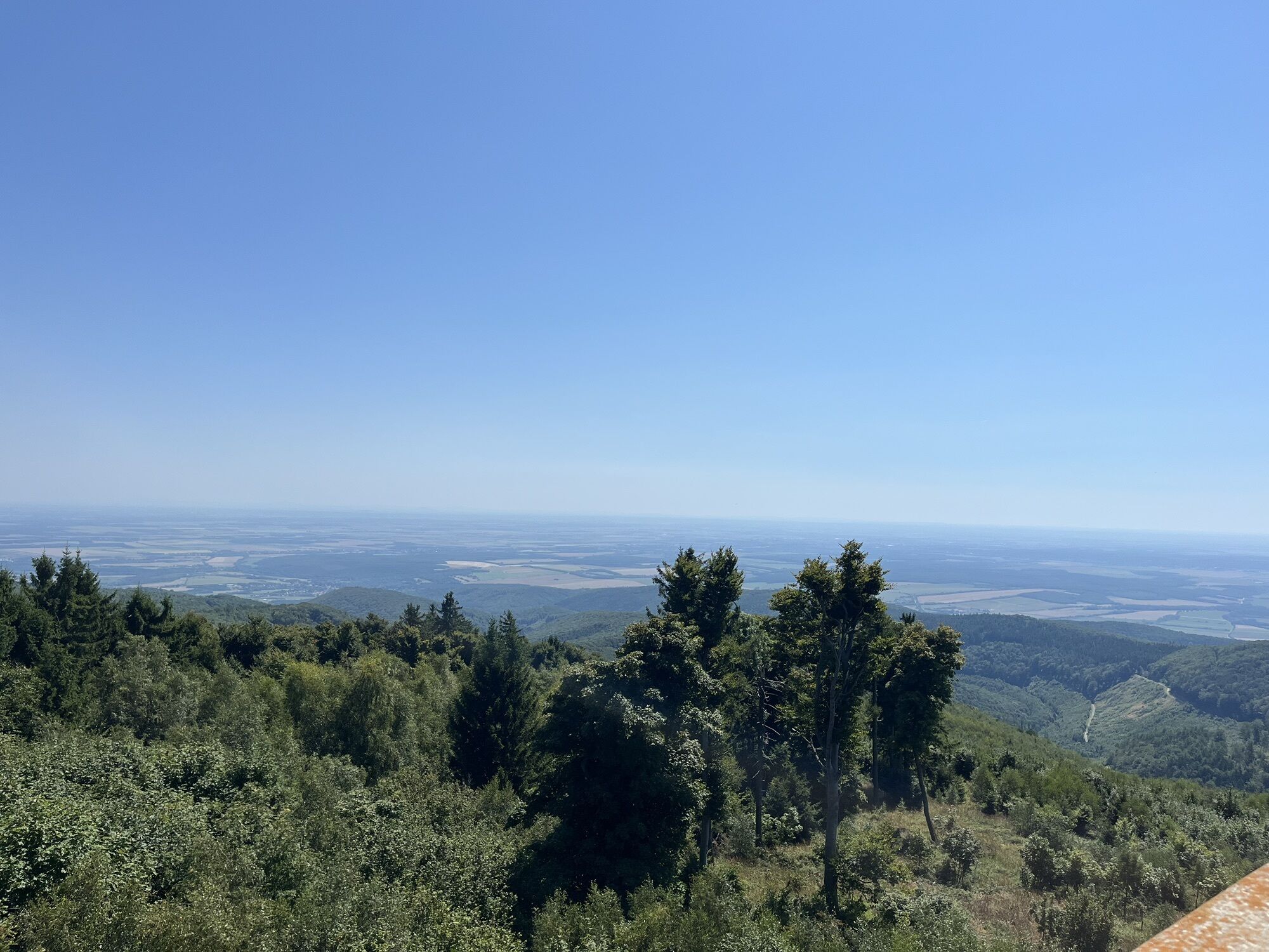
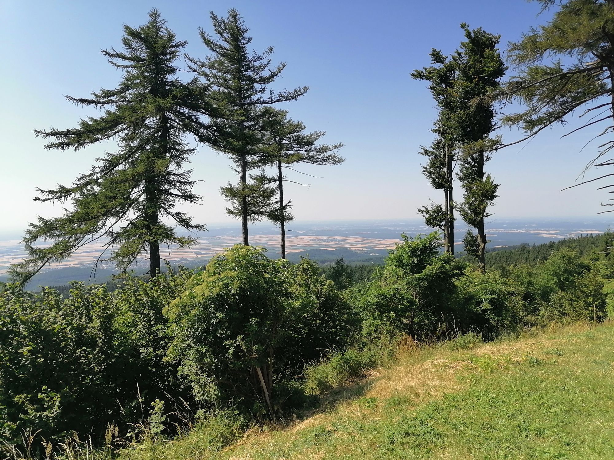


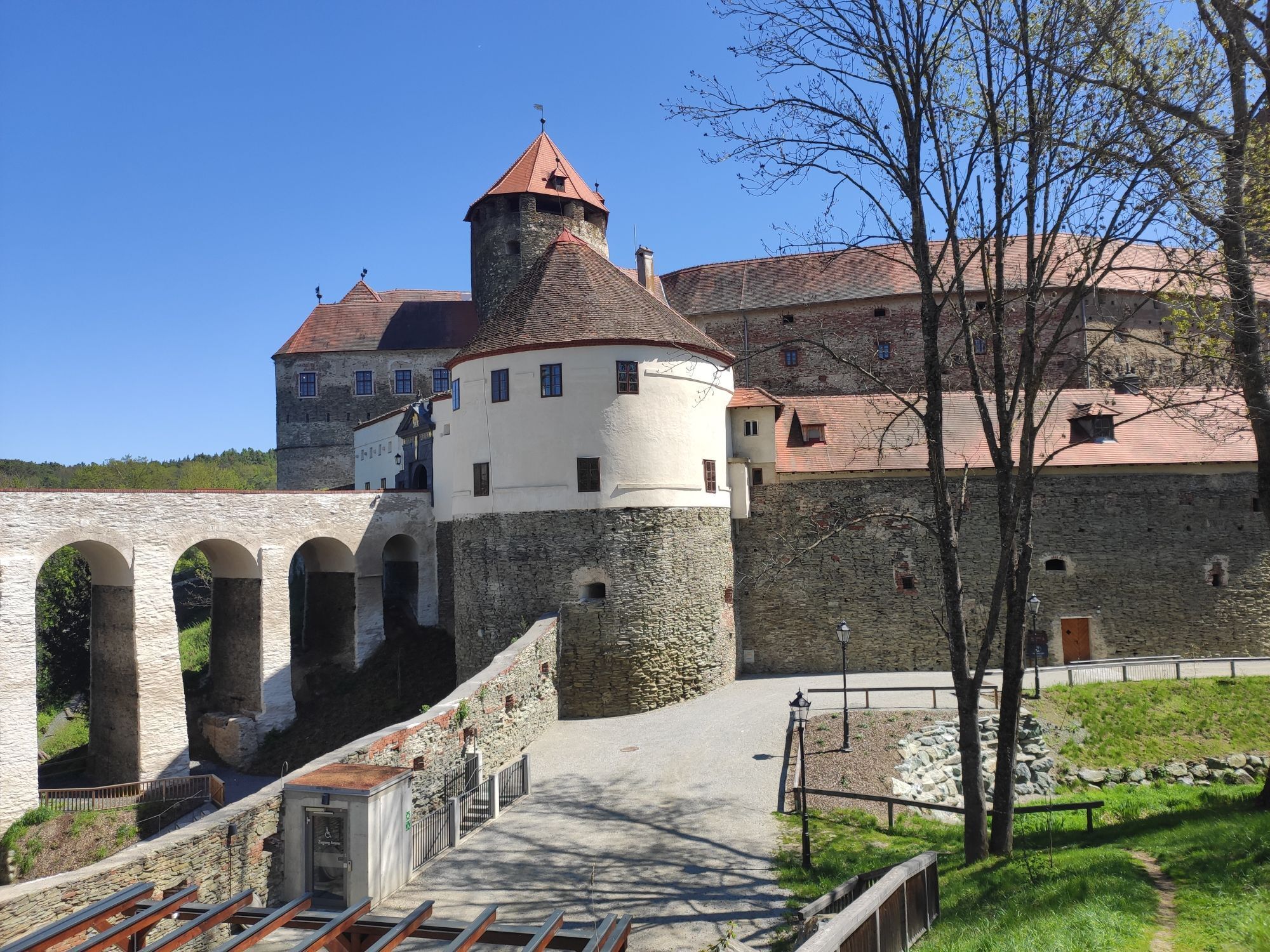


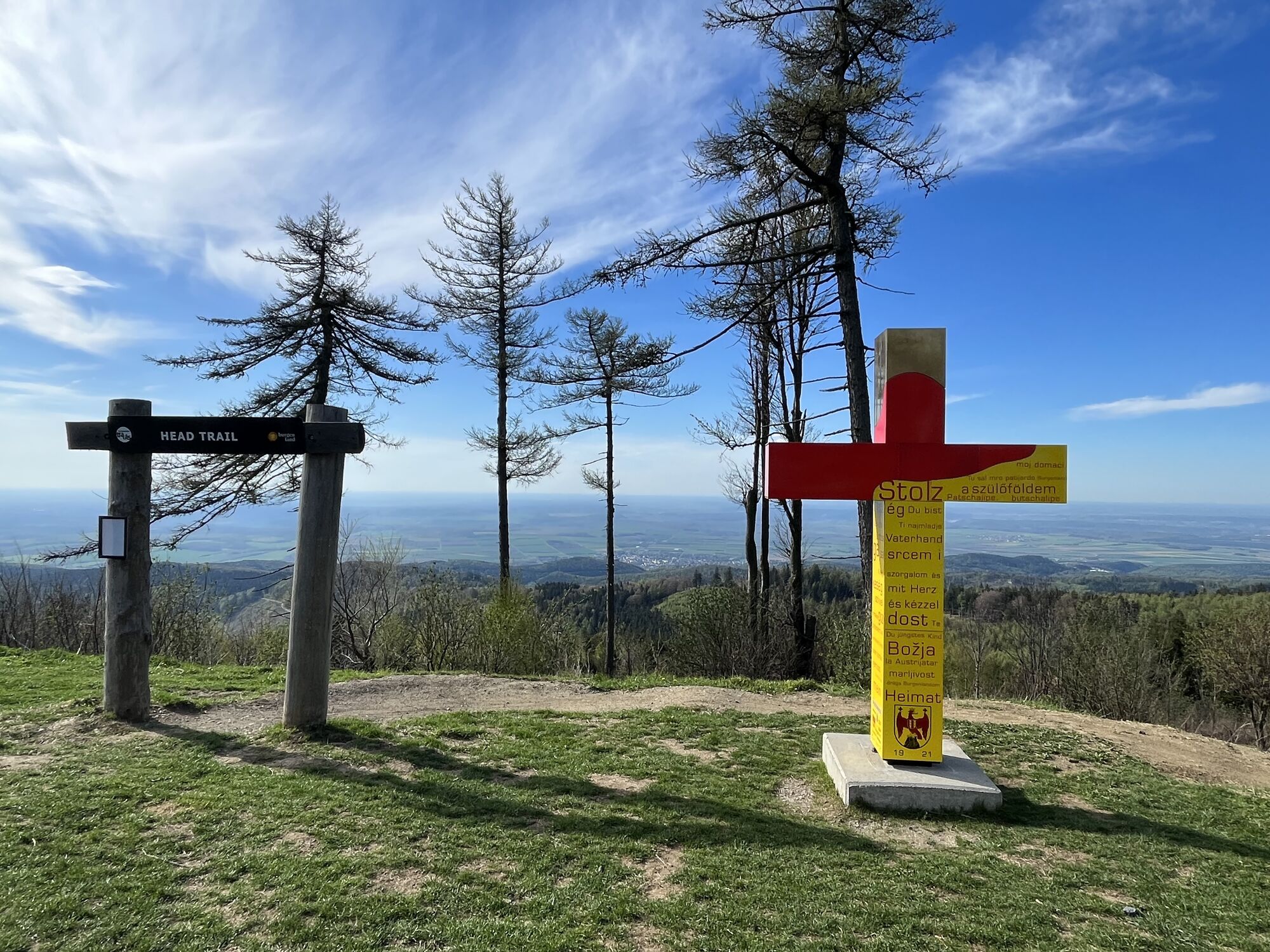


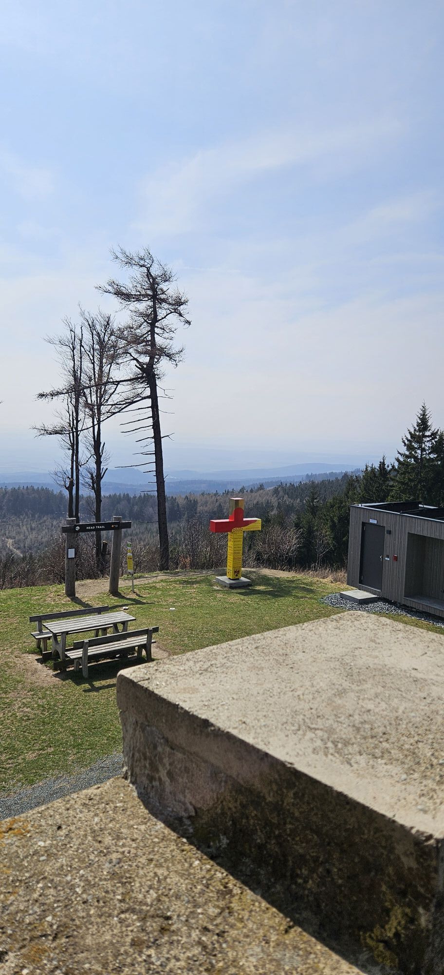


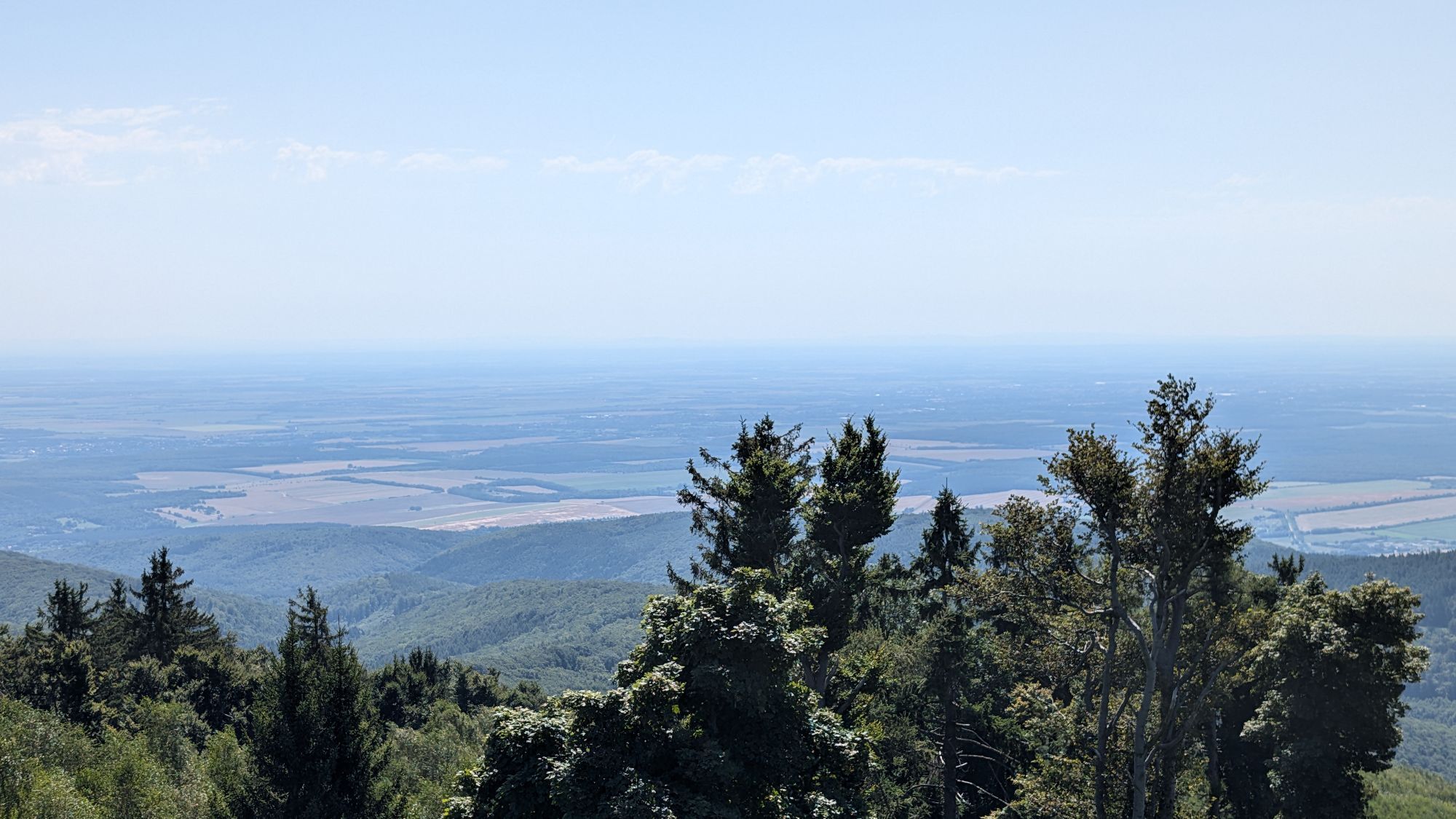
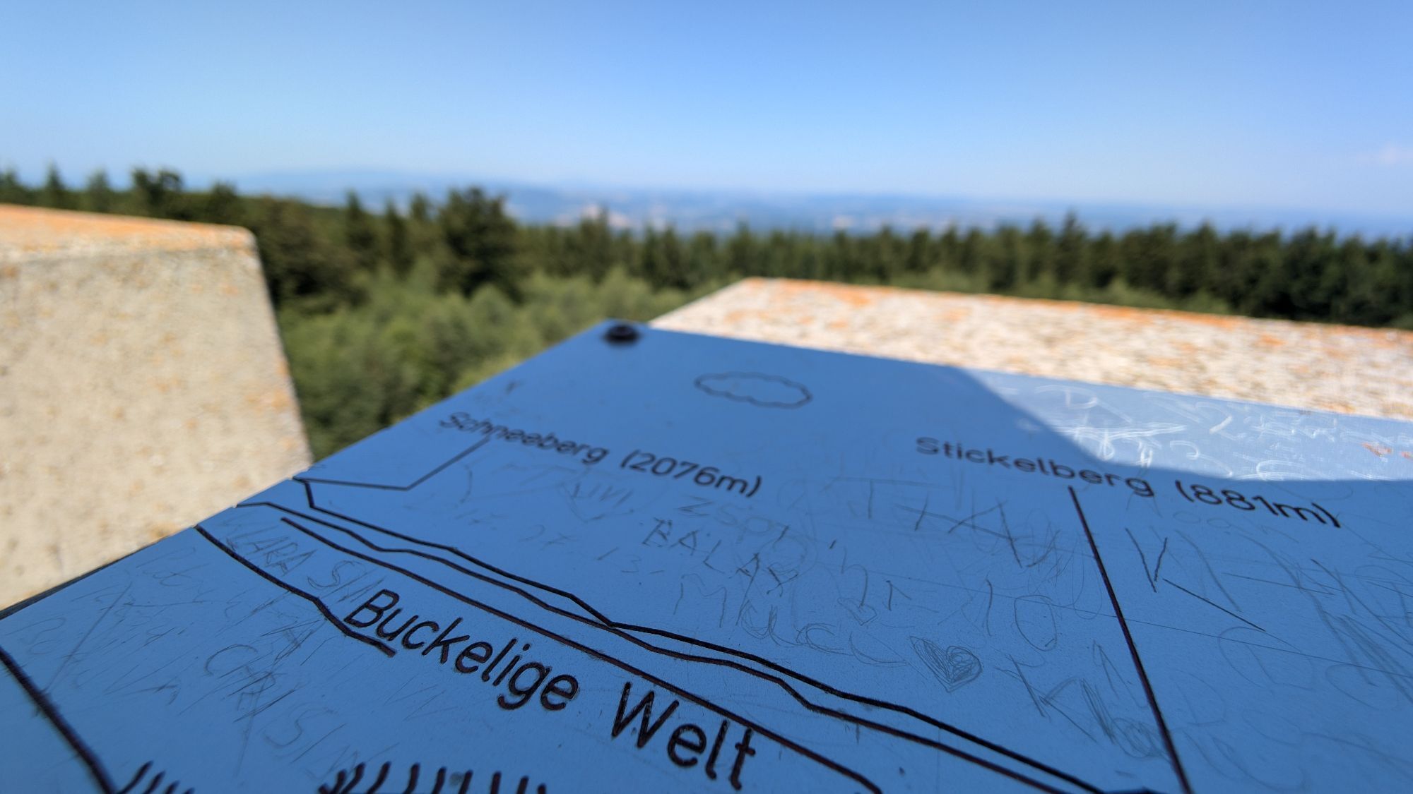


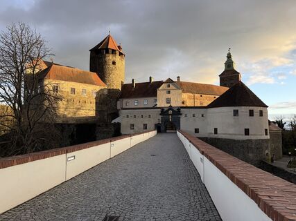
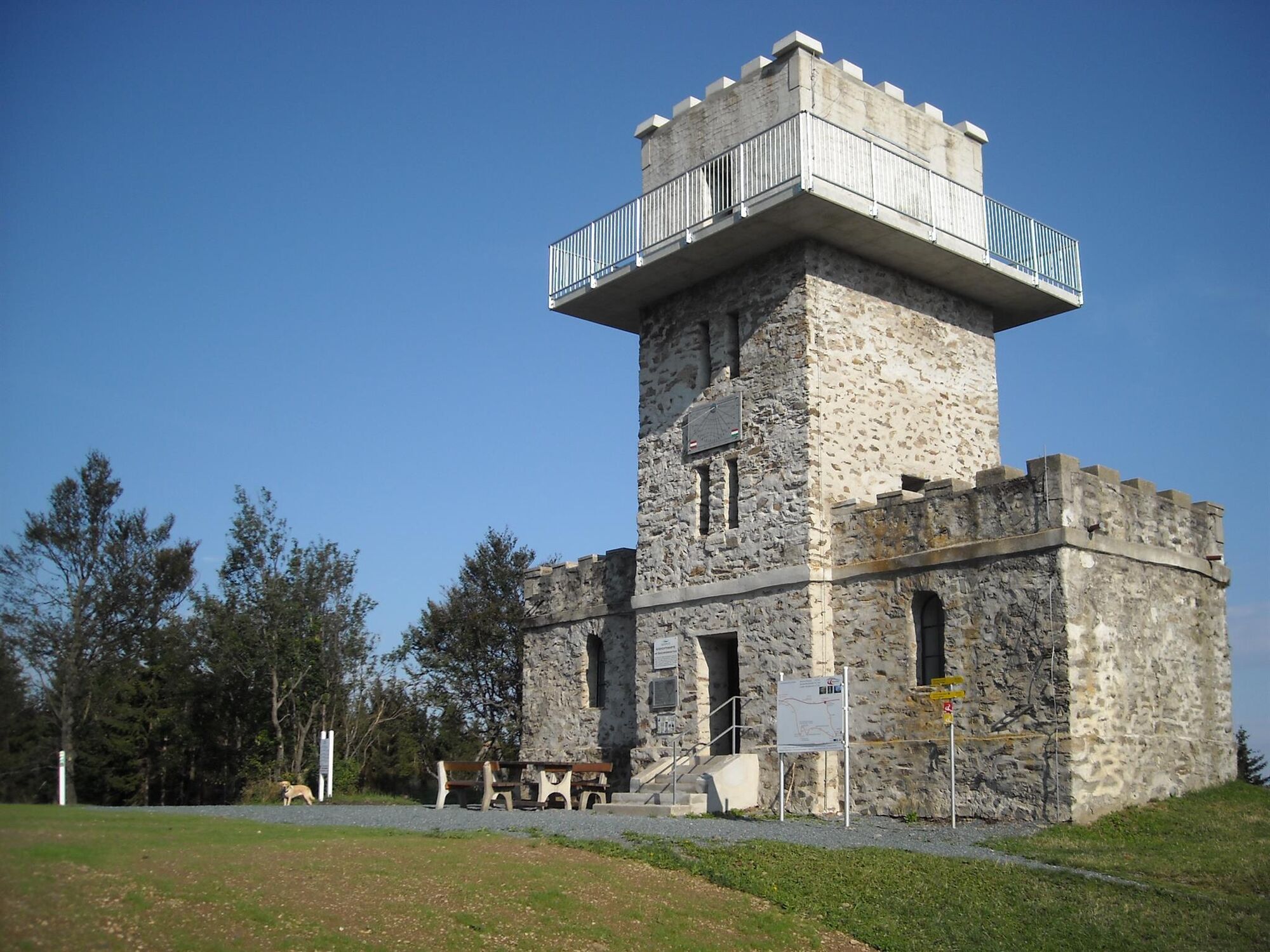
The highest point of Burgenland with the 884 m high border tower on the Geschriebenstein is on the main stage from Kőszeg to Lockenhaus. Four castles as starting point or stage destination make the hiking...
The highest point of Burgenland with the 884 m high border tower on the Geschriebenstein is on the main stage from KÅ‘szeg to Lockenhaus. Four castles as starting point or stage destination make the hiking route unique. The tour is not only a pleasure for long-distance hikers, but also offers cultural enthusiasts an additional attraction through the exhibitions of the castles and palaces on the route.
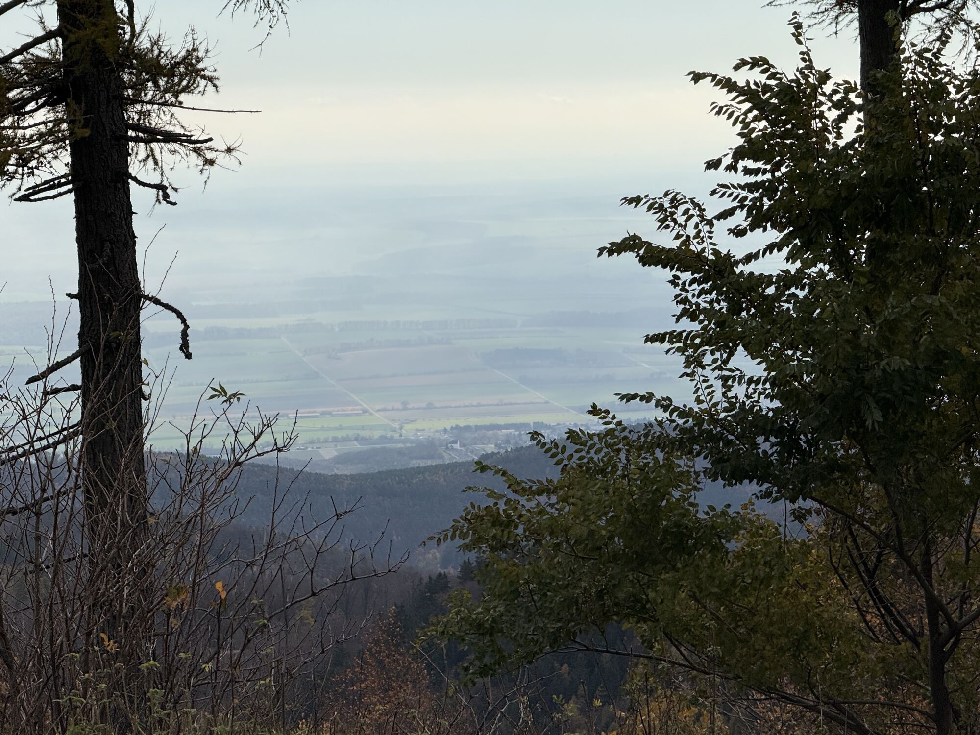
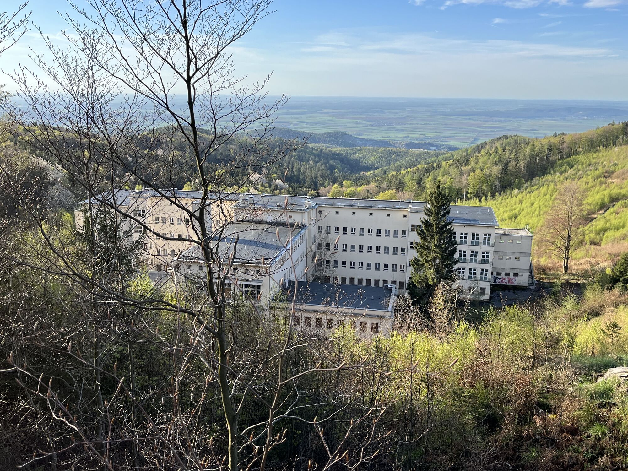
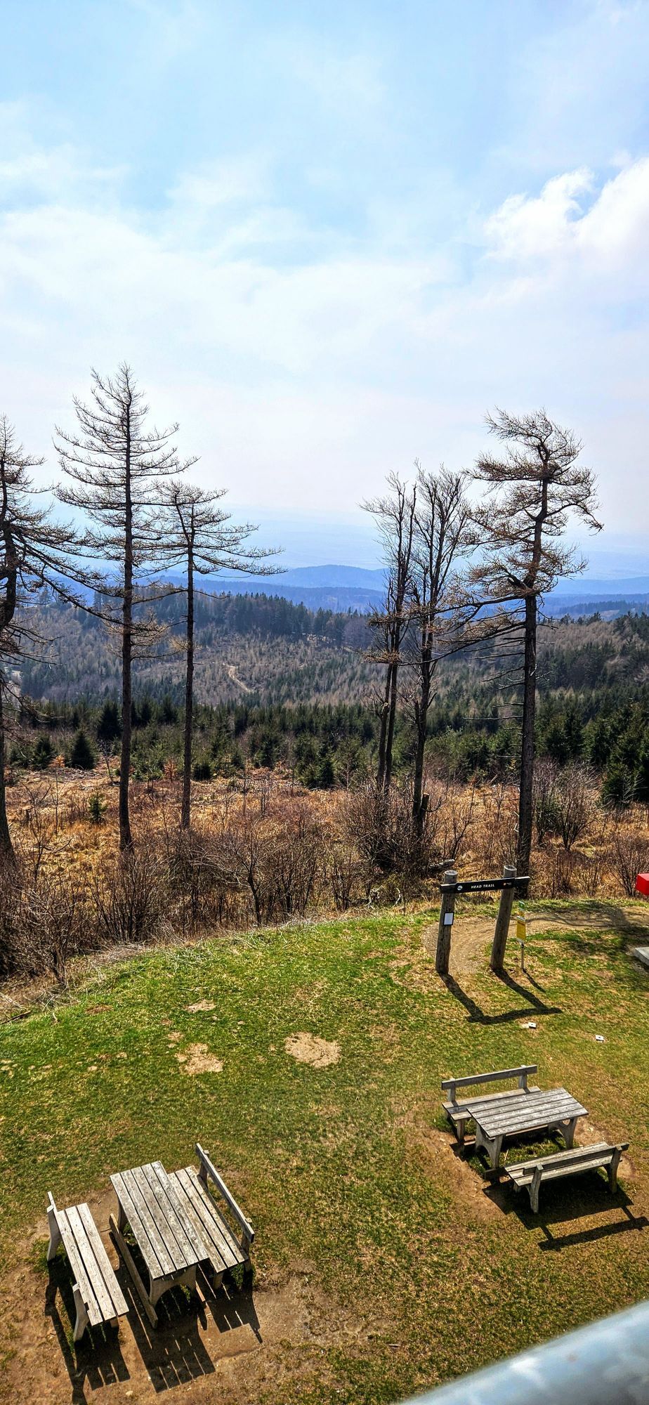
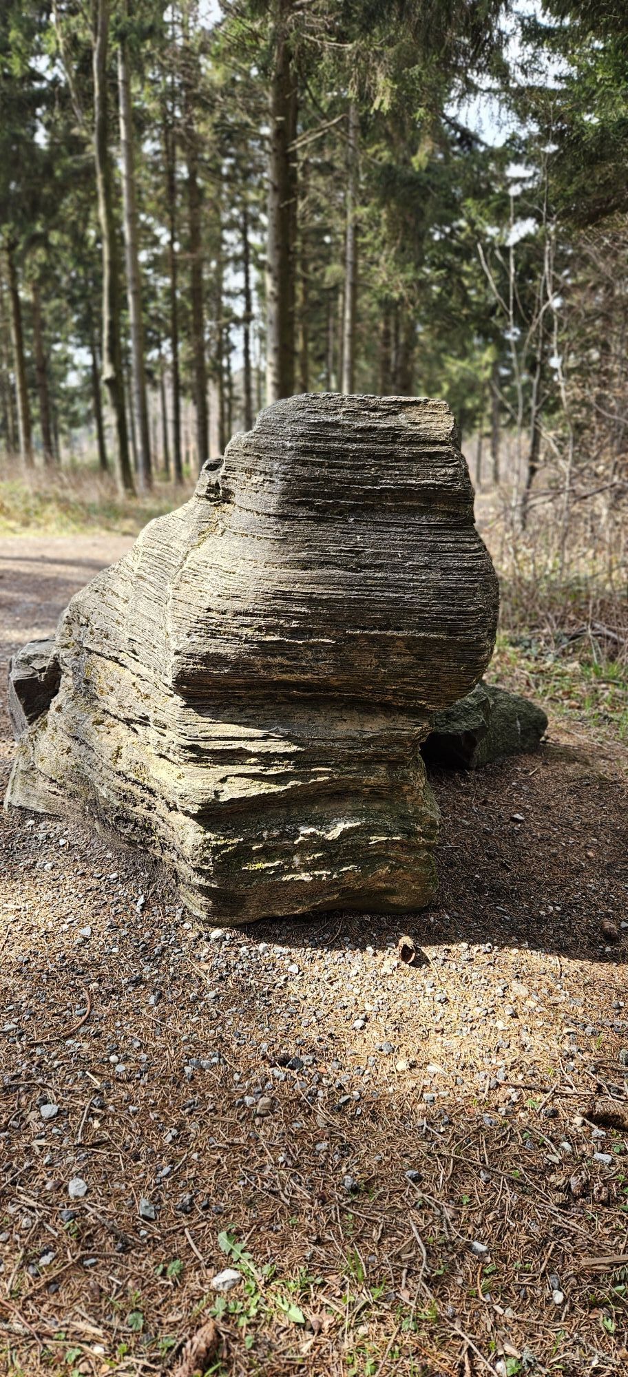
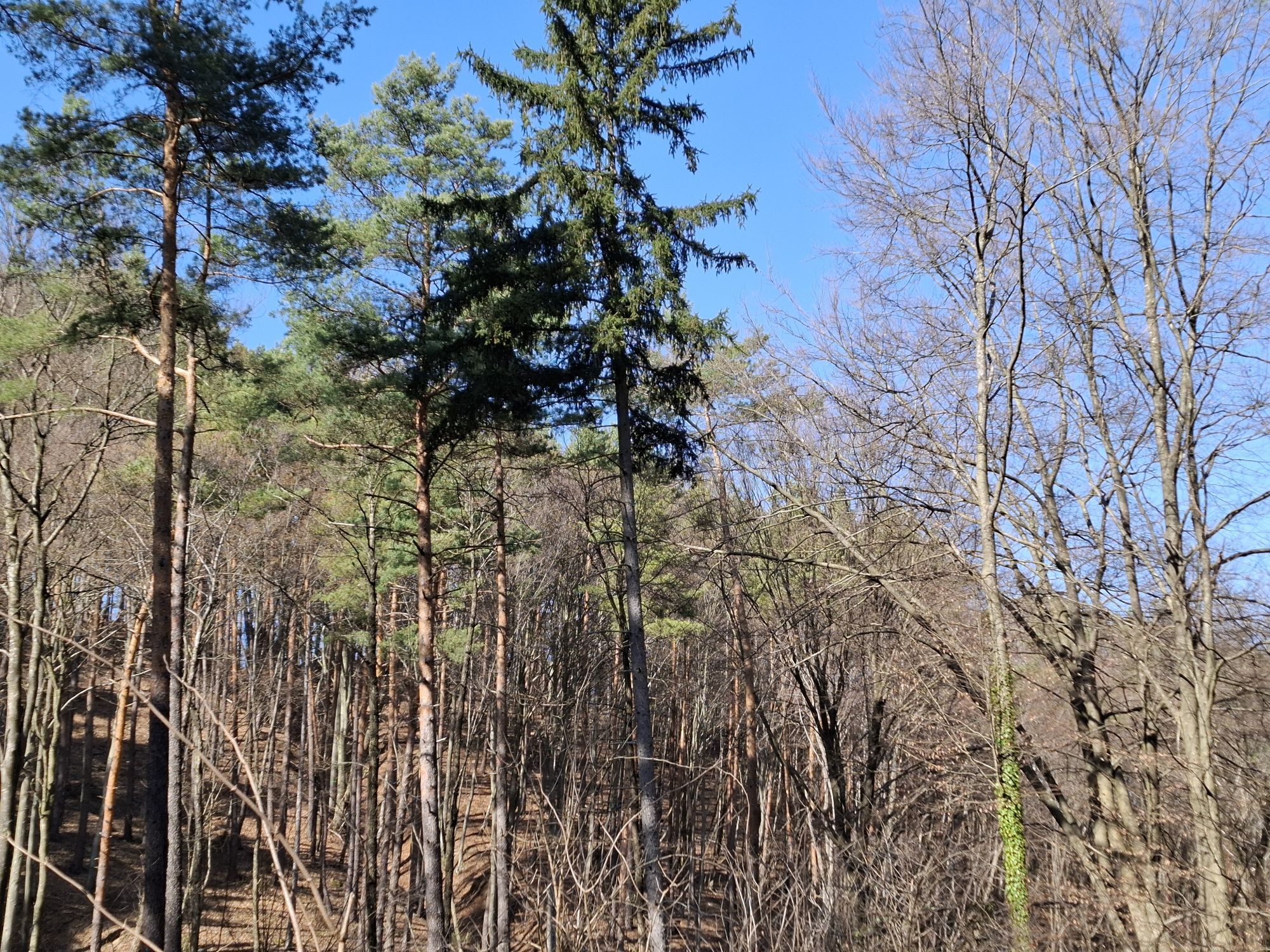
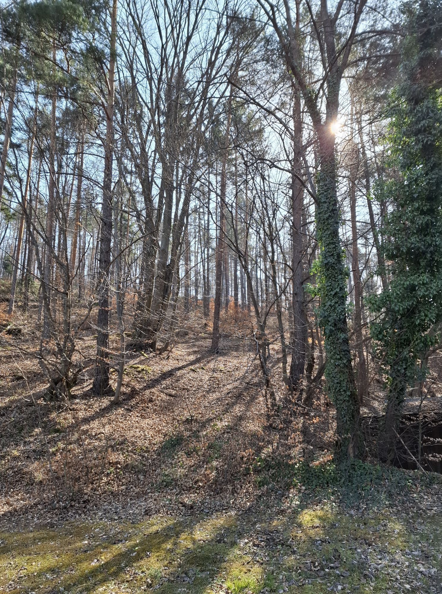
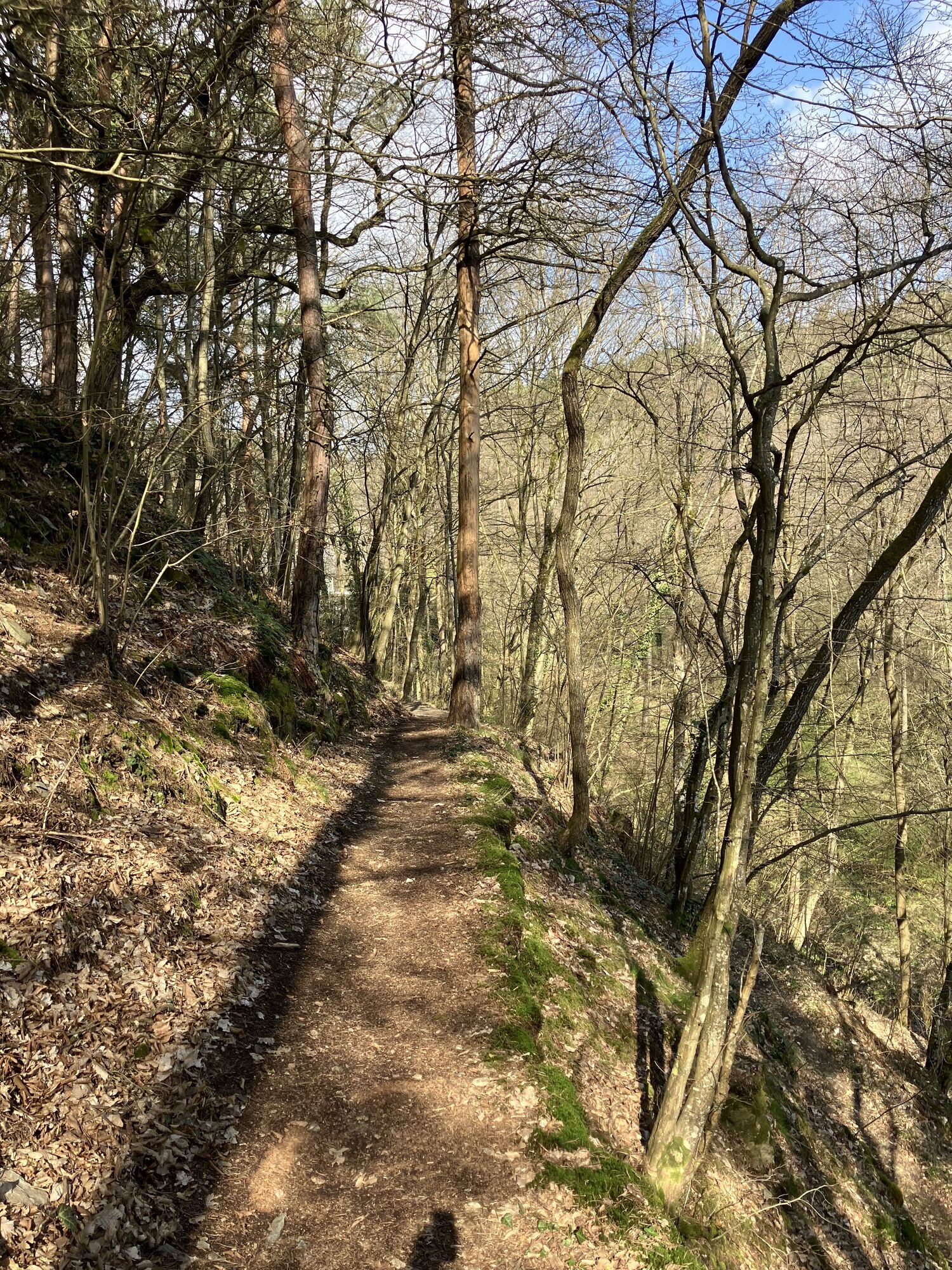
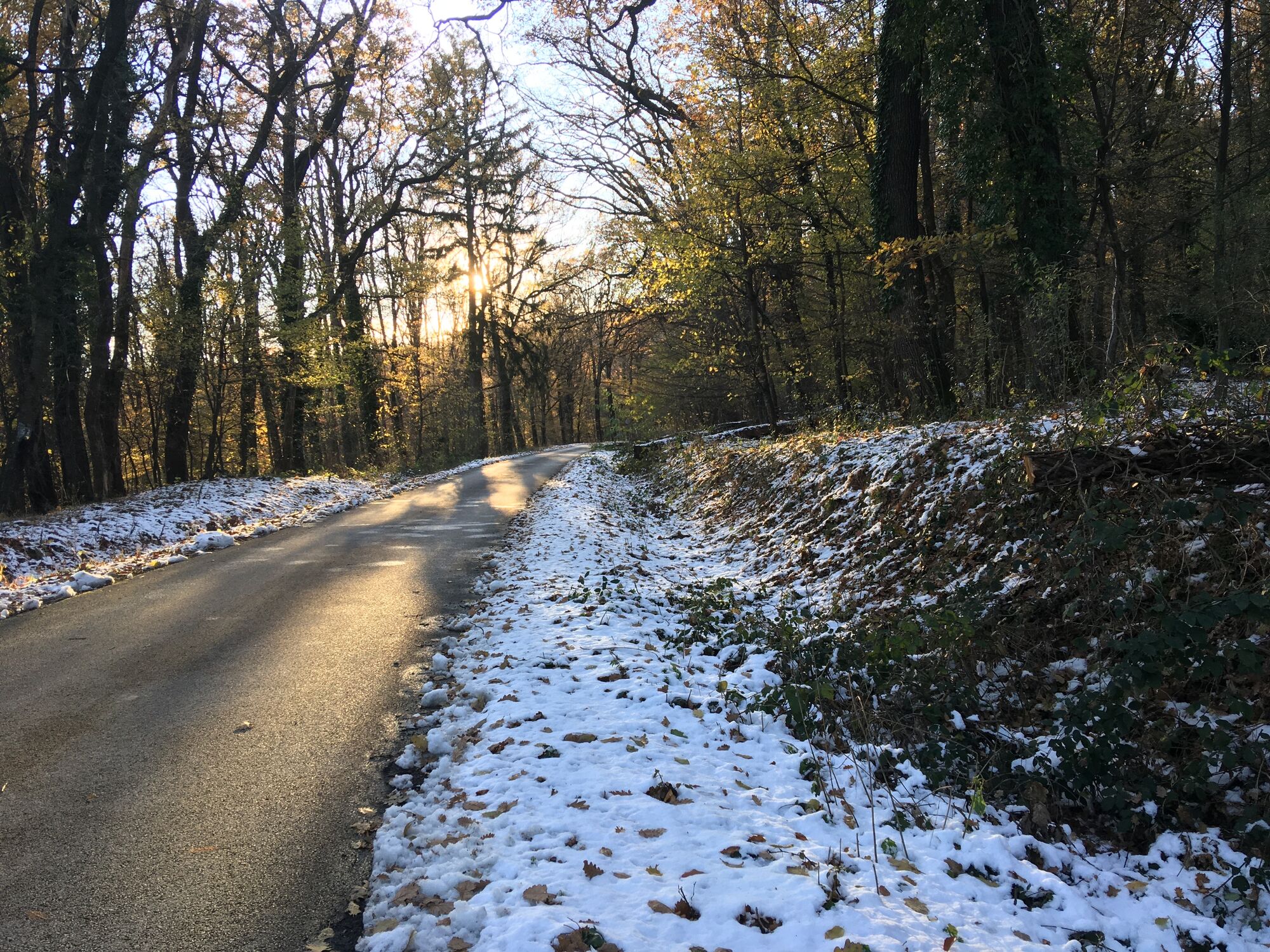
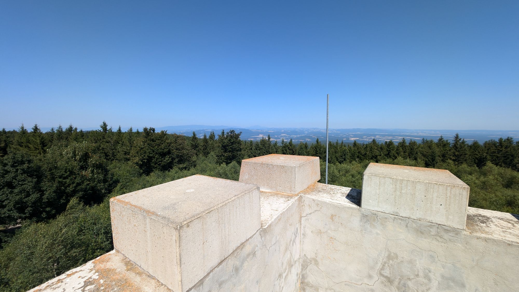
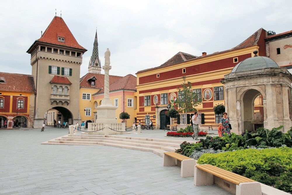
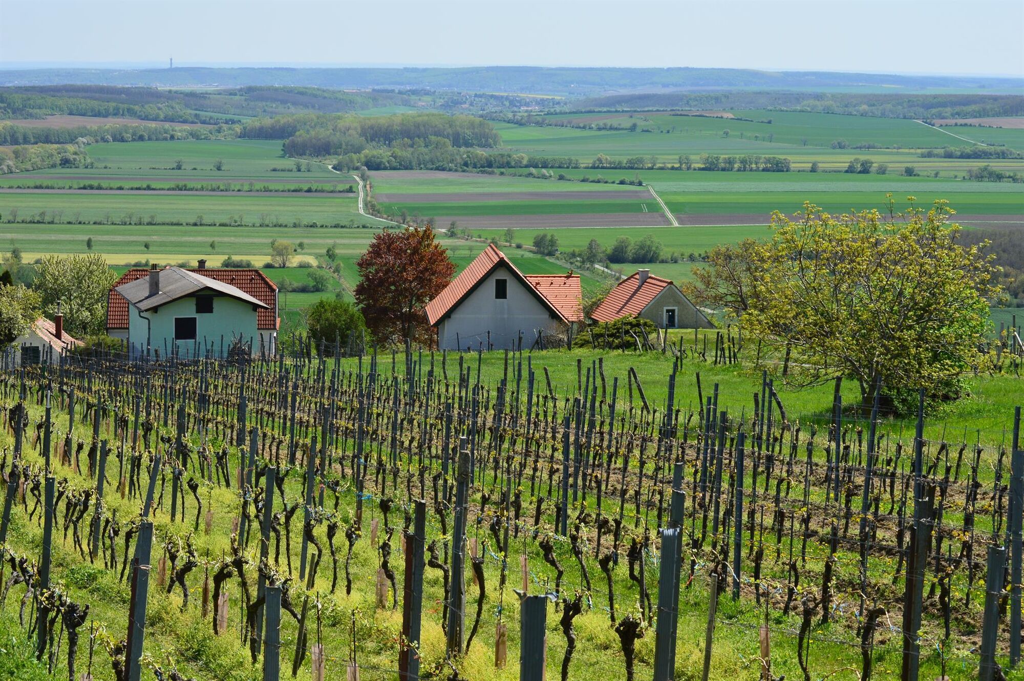
On the five stages, you walk through the entire Güns Mountains to the transition to the Pannonian Plain in KÅ‘szeg. The route leads as a high-altitude hiking trail mainly on natural paths through forest and vineyard areas with magnificent panoramic sections. Especially the stage from Rechnitz to KÅ‘szeg leads along the Rechnitz wine mountains through the "Suburb vineyards" to the town center of KÅ‘szeg, one of the most beautiful cities in Hungary (awarded the József Hild Architecture Prize).

Mainly on natural paths, stage from Lockenhaus to Bernstein partly on bike path B58.
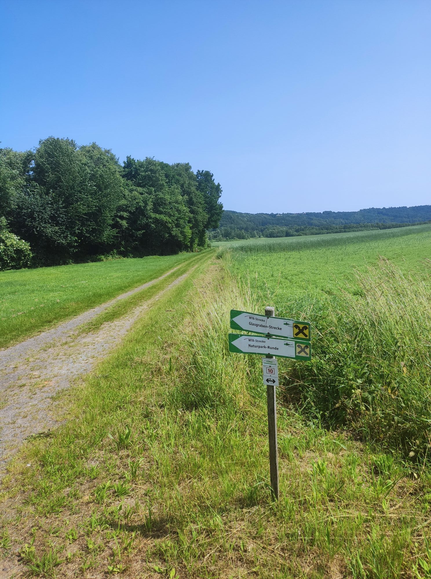
Trail markings:
Stage Bernstein to Stadtschlaining:
Section a) Bernstein to Goberling on alpannonia main route (red marking)
Section b) Goberling to Stadtschlaining on alpannonia feeder route (yellow marking)
Stage Stadtschlaining to Rechnitz
Section a) Stadtschlaining to Hirschenstein on alpannonia feeder route (yellow marking)
Section b) Hirschenstein to Rechnitz on alpannonia feeder route (yellow marking)
Stage Rechnitz to KÅ‘szeg (town center)
Follow the entire stage marking "Geschriebenstein-Roas" (blue marking/icon)
Stage KÅ‘szeg to Lockenhaus
Section a) KÅ‘szeg to Geschriebenstein tower on alpannonia main route (red marking)
Section b) Geschriebenstein to Lockenhaus on alpannonia feeder route (yellow marking) or marking WW 07 (red/yellow)
Stage Lockenhaus to Bernstein
Section a) Lockenhaus to Weißenbachl on marking "Geschriebenstein-Roas" (blue marking/icon)
Section b) Weißenbachl to Holzschlag on circular hiking trail Unterkohlstätten no. 1
Section c) Holzschlag to intersection L364/B50 about 1.8 km on road L364
Section d) Intersection L364/B50 on farm road 4.5 km via Langau and Oberhasel to Bernstein
Ja
Since it is a high-altitude and panoramic trail and mainly on natural paths, a small daily supply package (drinks, snack) is recommended!
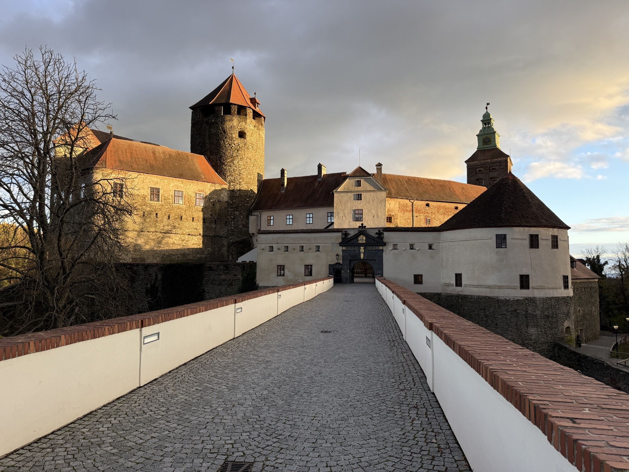
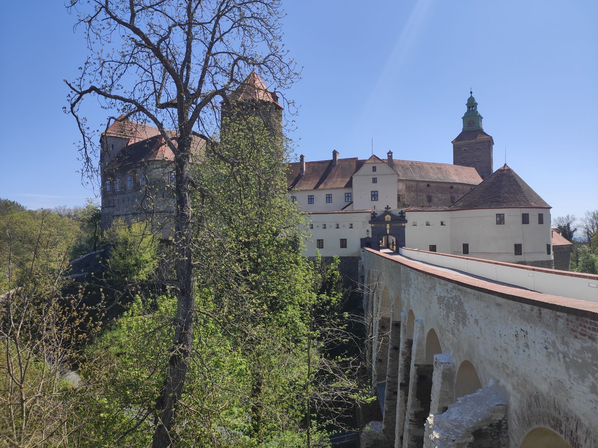
Plan time to visit one of the castles and palaces. As a rest day between stages or as an extra overnight stay after the hiking tour.
Populaire rondleidingen in de buurt
- 4,3
Railway track bike path
mediumFietsen41,6 km - 4,7
S21 Friedensrundweg
lichtWandelen11,4 km Südburgenländischer Bahntrassen-Radweg
lichtFietsen67 km- 3,0
R1 anniversary cycle path
mediumLange afstand fietsroute271,4 km - 4,2
Summit hiking route
zwaarWandelen20,6 km - 2,7
Günser Gebirge: Rechnitz - Geschriebenstein
lichtWandelen7,71 km - 4,0
See, Vogelparadies & Ödes Schloss Rechnitz
lichtWandelen7,09 km - 5,0
Geschriebenstein Roas
zwaarWandelen55,3 km - 4,0
Geschriebenstein
lichtWandelen3,90 km - 4,0
Bad Tatzmannsdorf - Sulzriegel - Jormannsdorf - Oberschützen - Bad Tatzmannsdorf
lichtWandelen9,20 km
Wandelen en spoorzoeken


Mis geen aanbiedingen en inspiratie voor je volgende vakantie
Uw e-mailadres is toegevoegd aan de mailinglijst.