


32.05 Poschiavo - Tirano, Trans Altarezia Bike


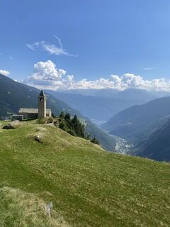
Foto's van onze gebruikers
-
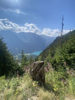
 © Marco Angelo BonginiGemaakt op 18.08.2025
 -
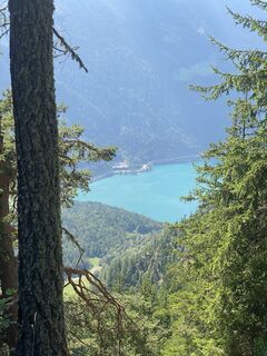 © Marco Angelo BonginiGemaakt op 18.08.2025
 -
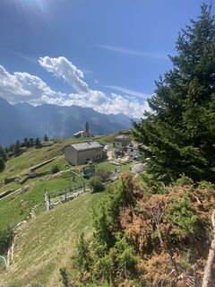 © Marco Angelo BonginiGemaakt op 18.08.2025
 -
 © Marco Angelo BonginiGemaakt op 18.08.2025
 -
 © Marco Angelo BonginiGemaakt op 18.08.2025
 -
 © Marco Angelo BonginiGemaakt op 18.08.2025
 -
 © Marco Angelo BonginiGemaakt op 18.08.2025


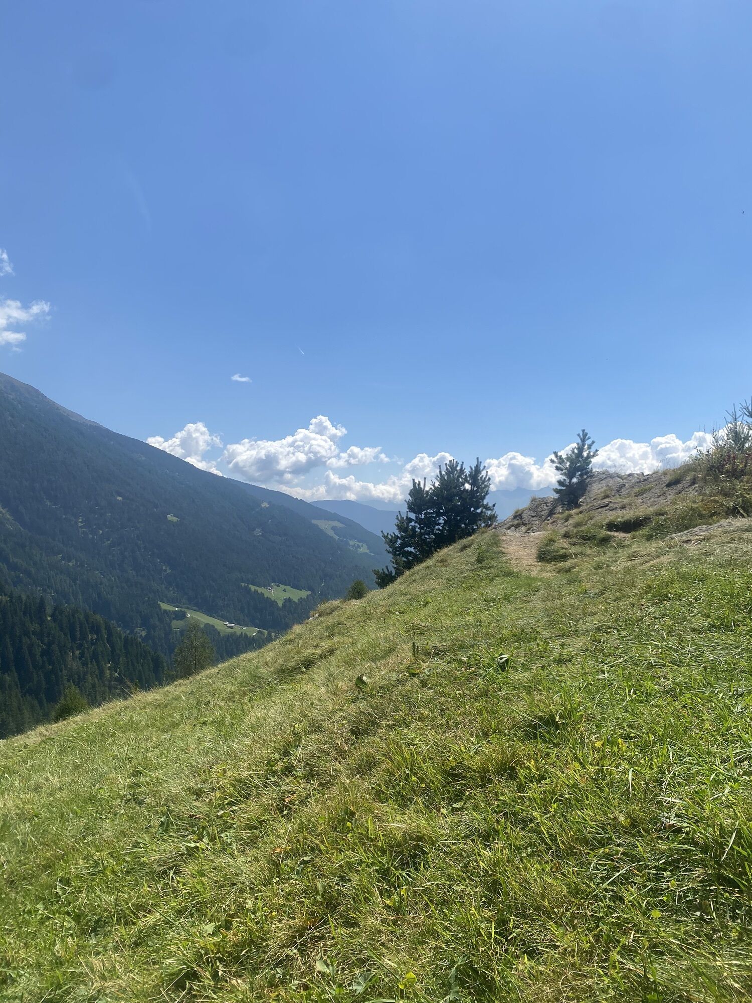

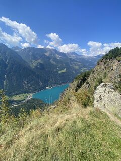
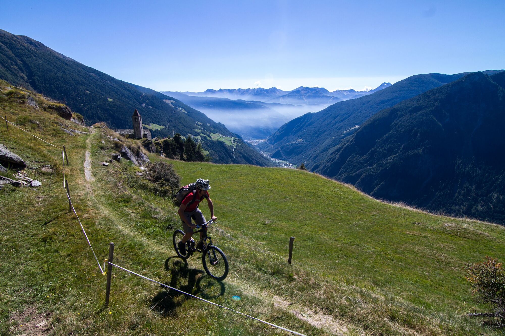
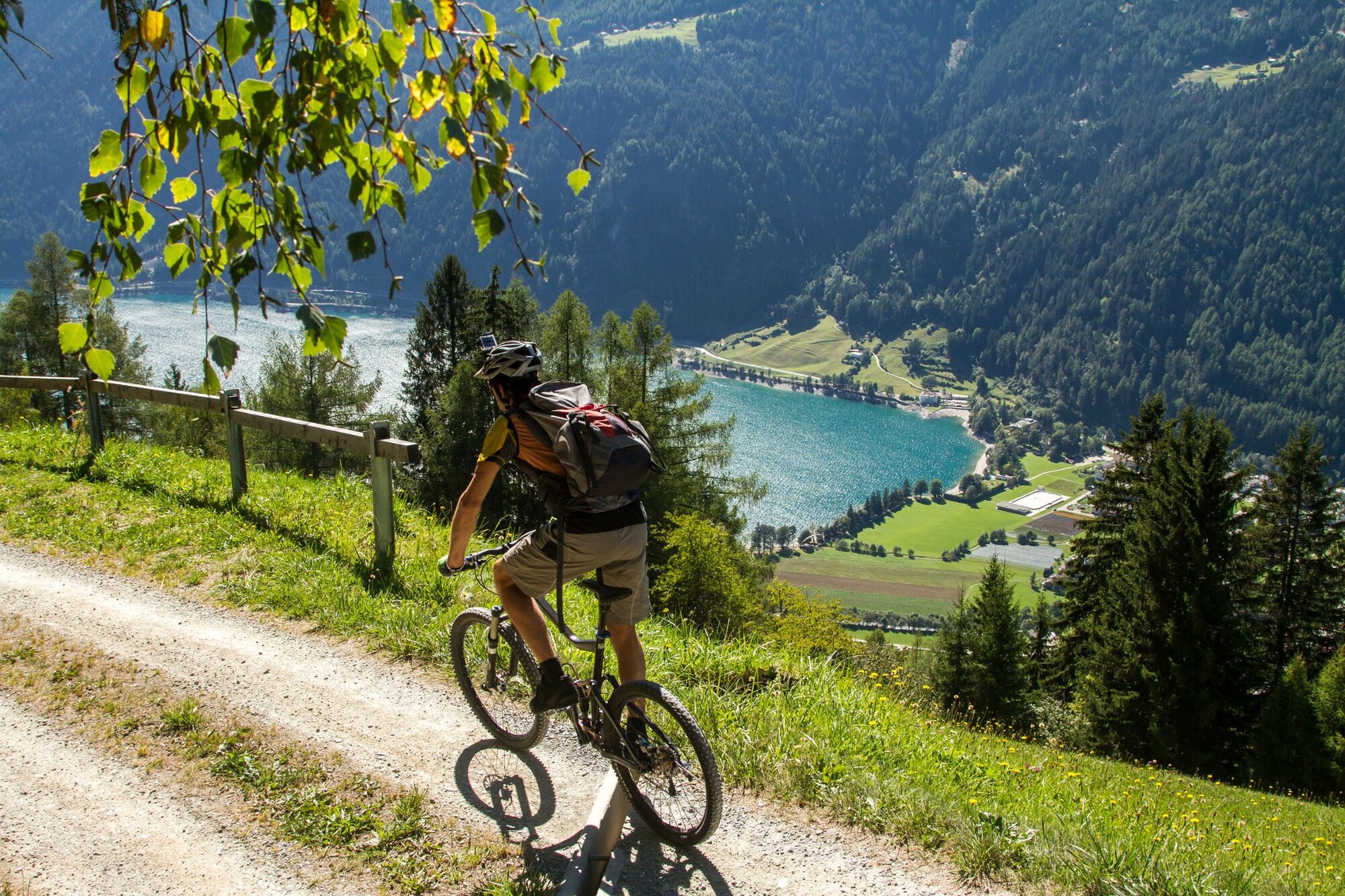
Along the «King's Stage» from northern Italy to the southern portal of the tunnel and over the pass. The mountain hike leads past the crystal-clear Palpuognasee lake, over Weissenstein Alp or Crap Alv...
Along the «King's Stage» from northern Italy to the southern portal of the tunnel and over the pass. The mountain hike leads past the crystal-clear Palpuognasee lake, over Weissenstein Alp or Crap Alv up to the Fuorcla Crap Alv (2466 m altitude) and steeply down into Val Bever to the idyllic stage destination of Spinas.


This route is only signposted in one direction: Poschiavo–Tirano
Ausweispapiere mitnehmen, da die Route grenzüberschreitend ist.
Valposchiavo Turismo
Vial da la Stazion 12
7742 Poschiavo
T. +41 81 839 00 60
Alpentaxi:
Balzarolo SA (Taxi)
7742 Poschiavo (GR)
+41 81 844 10 42 / +41 79 599 96 76
Carry identification as this is a cross-border route.
To shorten the section you can also pre-order a taxi (alpie taxi) from Poschiavo.
Snowfields possible into summer months on high-level sections
Populaire rondleidingen in de buurt
-
5,0
Mountain hike to Lagh da Saoseo
zwaarWandelen 15,0 km -
5,0
Ospizio Bernina Station - Alp Grüm (-Cavaglia)
lichtWandelen 4,97 km -
5,0
53 Bernina-Tour Schweiz: Stage 1 Poschiavo - Bernina Pass
mediumWandelen 14,6 km -
5,0
53 Bernina route: Stage 1 Poschiavo-Bernina Pass
mediumWandelen 14,6 km -
4,5
Da Sfazù a lago Saoseo
lichtWandelen 11,0 km -
33.08 Ospizio Bernina - Cavaglia, Via Albula / Bernina
mediumWandelen 9,39 km -
5,0
Ospizio Bernina - Cavaglia (Via Val da Pila)
Wandelen 7,94 km -
5,0
Alp Grüm - Cavaglia (via Val da Pila)
Wandelen 5,49 km -
Alp Grüm - Cavaglia - Poschiavo
mediumWandelen 9,41 km -
Bergwanderung zum «See des Verrückten» - Kurz Version
Wandelen 11,4 km
Wandelen en spoorzoeken


Mis geen aanbiedingen en inspiratie voor je volgende vakantie
Uw e-mailadres is toegevoegd aan de mailinglijst.