Bonaduzer Wald (256)
licht
Mountainbike
Navigeer naar
Navigeer naar
Ontvang deze tour op je mobiele telefoon
Kaart
Bonaduzer Wald (256)
licht
Mountainbike
13,21 km
Scan de QR-code en start de navigatie in de bergfex app.
QR Code
Wandelen en spoorzoeken

Bonaduzer Wald (256)

Afstand
13,21 km
Duur
01:30 h
Opstijging
299 hm
Zeespiegel
656 - 944 m
Track downloaden
Kaart
Bonaduzer Wald (256)
licht
Mountainbike
13,21 km

The best place to start this mountain bike tour is in the village of Bonaduz, which together with Rhäzüns forms an actual high plateau. Bonaduz is also the gateway to the Rhine Gorge natural monument....


Beschrijving van de

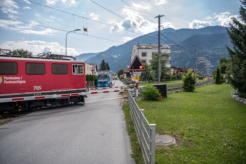
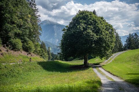
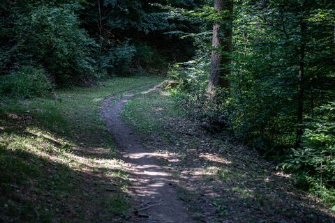
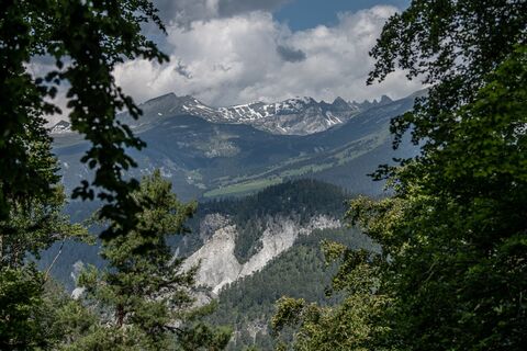
The best place to start this mountain bike tour is in the village of Bonaduz, which together with Rhäzüns forms an actual high plateau. Bonaduz is also the gateway to the Rhine Gorge natural monument. After you have crossed the idyllic forest landscape near Bonaduz on well-maintained forest paths, there follows an ascent on a road with little traffic, which leads to Sigl Ault with a view. A single trail soon awaits you, leading smoothly down to the panoramic road above the Rhine Gorge. The "Ruinaulta", as the gorge is called in Romansh, is one of the most magnificent and diverse landscapes in the Alps, created 10,000 years ago by a landslide. You now follow this gorge with a magnificent view, past the "Zault" viewing platform (a photo stop is recommended), before finally diving back into the woods and returning to Bonaduz on extensive forest paths.

Beschrijving van de

Snowline map  

While at higher altitudes there is at best already snow, the trails in the valley are still free of snow. Our interactive snow depth map helps you to plan your tour. Here you can see at a glance at www.flims.com/schneesituation where you can already expect snow on the paths and trails and where you can still be on the road without getting cold feet. 


This tour opens up a magnificent view of the imposing Rhine Gorge. From Bonaduz, the route leads through beautiful forest paths into the Rhine Gorge and back again.

Technologie
2 / 6
Voorwaarde
2 / 6
Landschap
4 / 6
Ervaring
5 / 6
Beste tijd van het jaar
Jan
Feb
Maa
Apr
Mei
Jun
Jul
Aug
Sep
Okt
Nov
Dec
Auteur
Geleverd door Flims Laax Falera
De Bonaduzer Wald (256) rondleiding wordt verzorgd door outdooractive.com.
Logo
Deel tour
Kaart
Bonaduzer Wald (256)
licht
Mountainbike
13,21 km
Fout
Er is een fout opgetreden. Probeer het opnieuw.
Route-informatie
Route

Bonaduz - Sigl Ault - Zault - Bonaduz

Enkele reis

Ja

Uitrusting

Repair and first aid kit belong in the rucksack

Veiligheidsinstructies

Watch out for hikers. In the canton of Graubünden we share the paths.

Aankomst informatie
Aankomst

By car on the A13 motorway from Zurich to Chur, exit 18 Reichenau

Openbaar vervoer
Stop:

Flims Dorf, mountain railways
By post bus from Chur or the public Flims Laax Falera Shuttle.

Timetable
www.sbb.ch

Parkeren

You will find parking spaces in Bonaduz at the railway station.

Aanvullende informatie & tips
Aanvullende informatie
App
Inside Laax

- with all tours and information

Tips

Photo stop at the "Zault" viewing platform

Nog geen beoordelingen
Schrijf een review

Beoordelingen helpen andere gebruikers bij het kiezen van hun volgende avontuur. Beoordeel alleen de tour, niet het weer of je tussendoortje.

Selecteer een van de sterren om de tour te beoordelen
Slechte tour
Zwakke tour
Middelmatige tour
Goede rondleiding
Uitstekende rondleiding
bergfex logo Inzicht krijgen Altijd live op locatie met meer dan 9.500 webcams. bergfex Als Pro-gebruiker kun je nu de bijbehorende webcams voor veel tours zien in de tours-app van. Zo kun je de actuele omstandigheden direct bekijken.
Wandelen en spoorzoeken

Wandelen en spoorzoeken

Wandelen en spoorzoeken
Meer dan 550.000 suggesties voor tochten, gedetailleerde kaarten en een intuïtieve routeplanner maken de app een must-have voor alle natuurliefhebbers.
Wandelen en spoorzoeken