


Sulzfluh Trail


Foto's van onze gebruikers
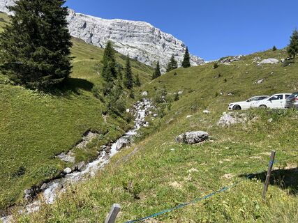
 © Marco AllemannGemaakt op 09.08.2025
 © Marco AllemannGemaakt op 09.08.2025
 © Bruno GrossmannGemaakt op 14.02.2024
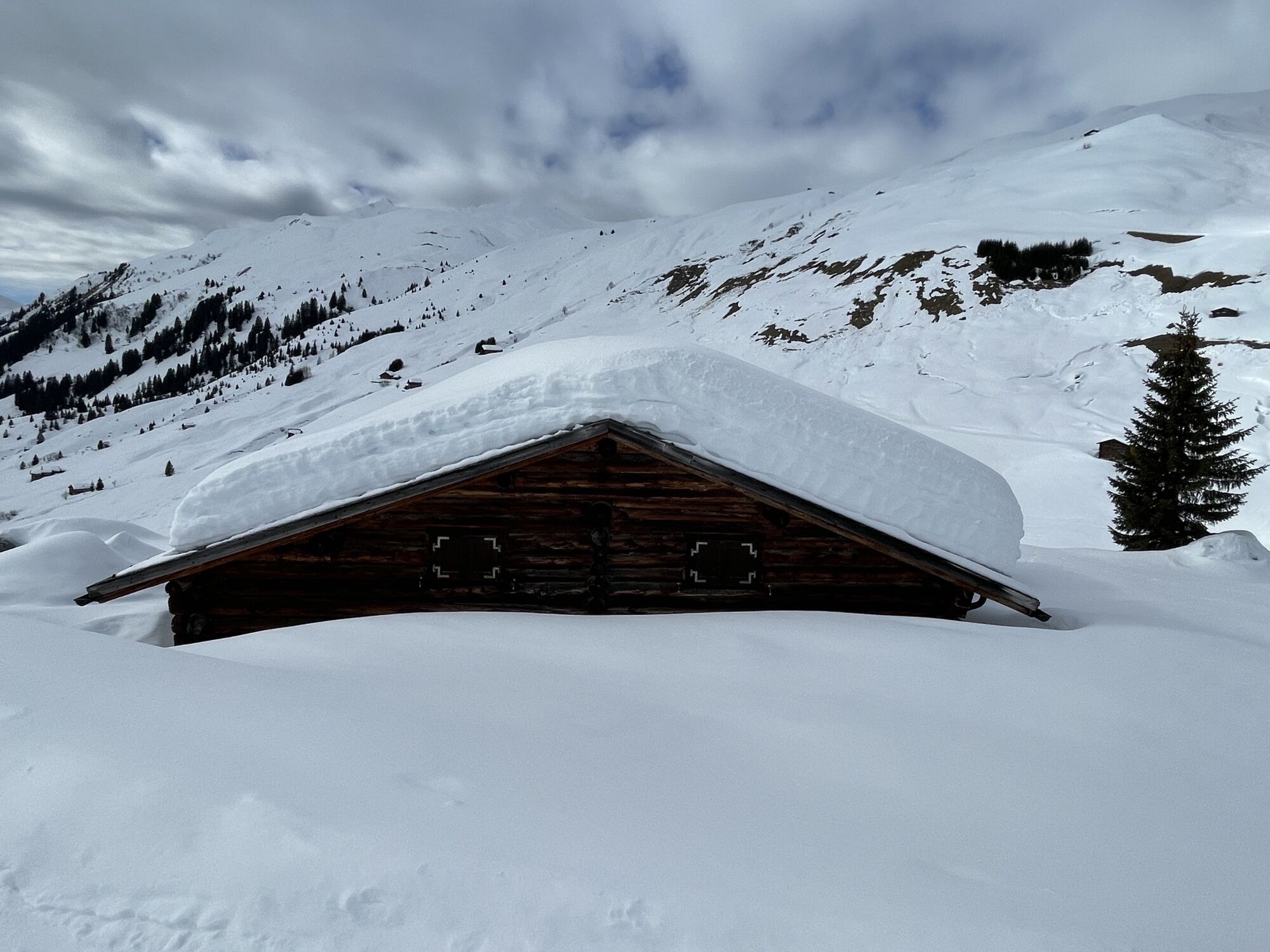
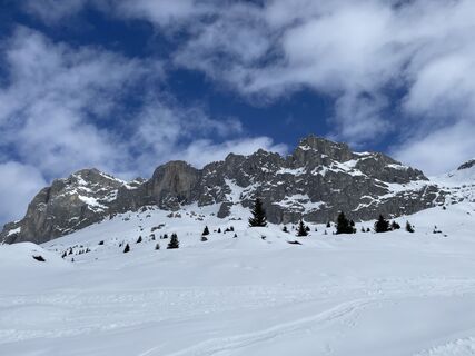 © Bruno GrossmannGemaakt op 14.02.2024
 © Bruno GrossmannGemaakt op 14.02.2024
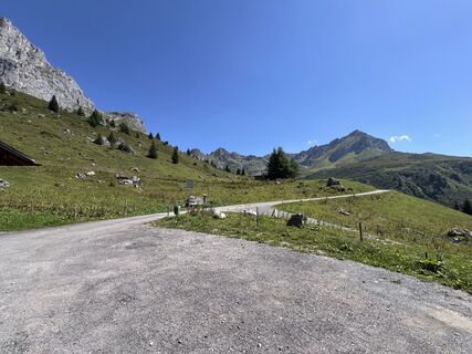 © Marco AllemannGemaakt op 09.08.2025
 © Marco AllemannGemaakt op 09.08.2025
 © Marco AllemannGemaakt op 09.08.2025
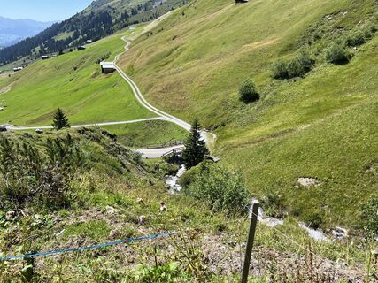 © Marco AllemannGemaakt op 09.08.2025
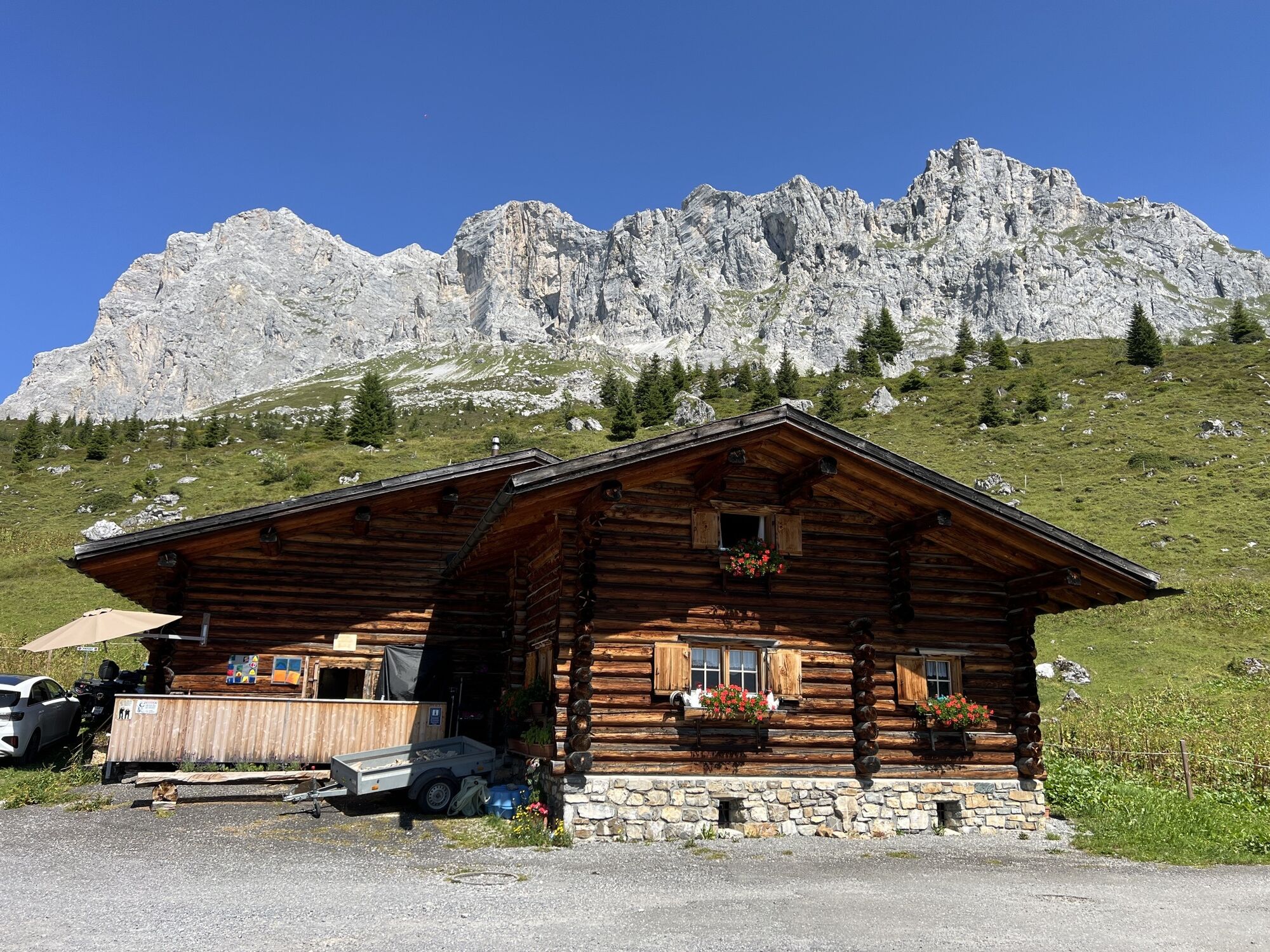
 © Priska Thomann-BischofbergerGemaakt op 22.07.2025
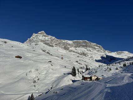
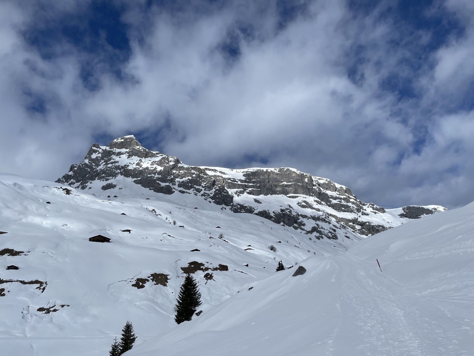
 © Thilo KarrenbergGemaakt op 15.02.2025


Starting in Partnun, you climb over lush pastureland to the entrance of Gamstobel. A small rock step secured with wire ropes requires concentration before the path ascends steeply and, through loose scree,...
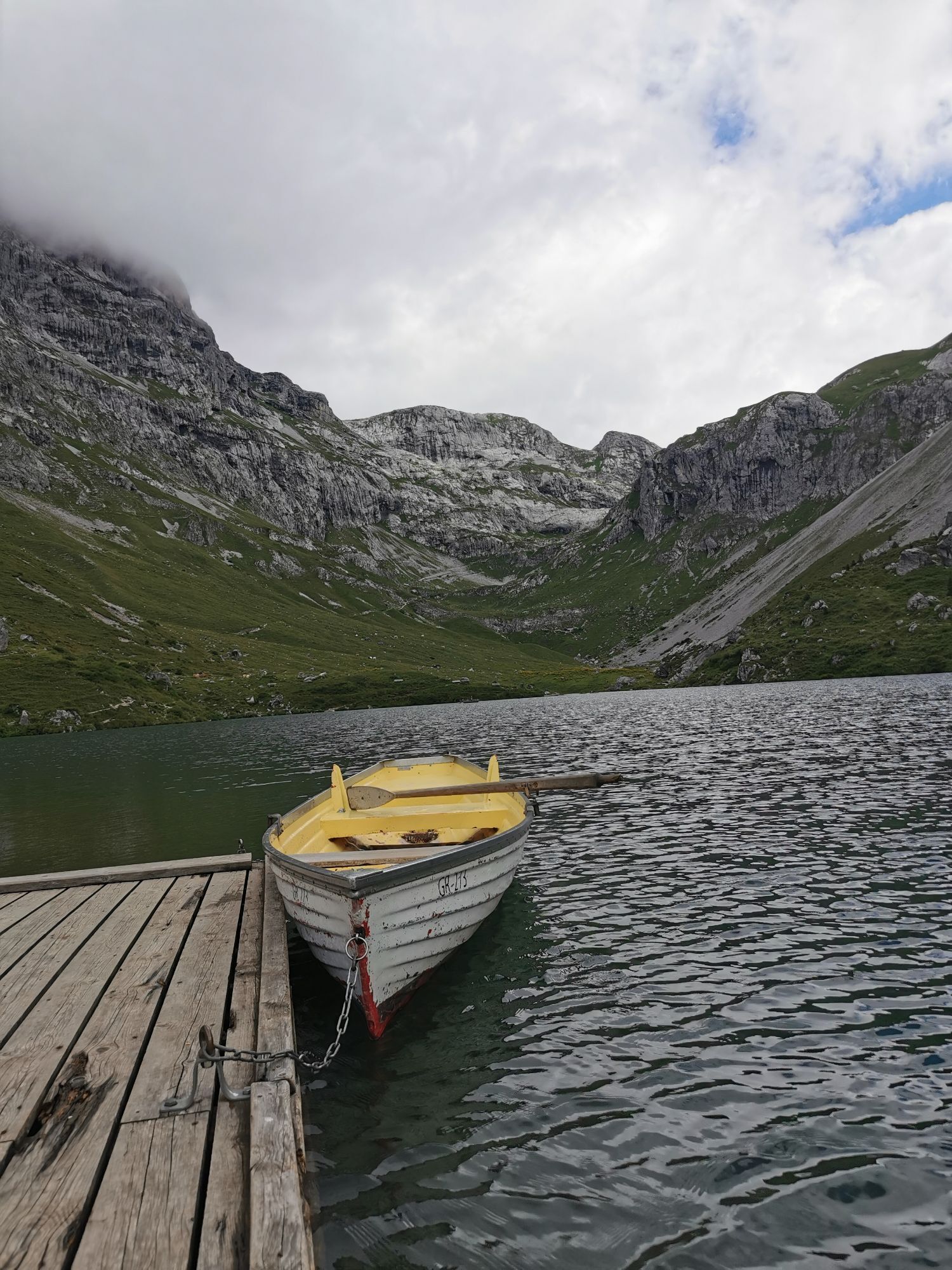
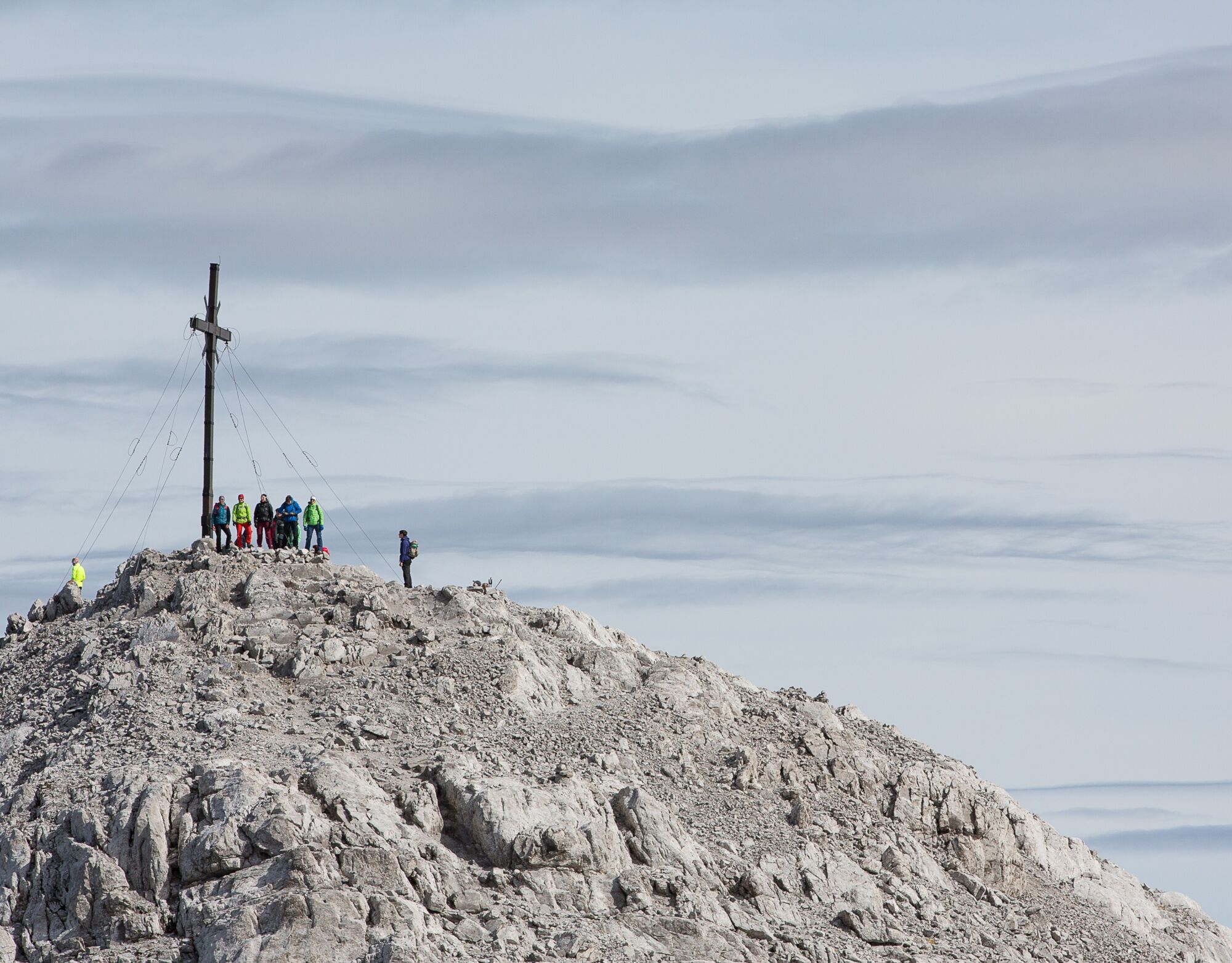
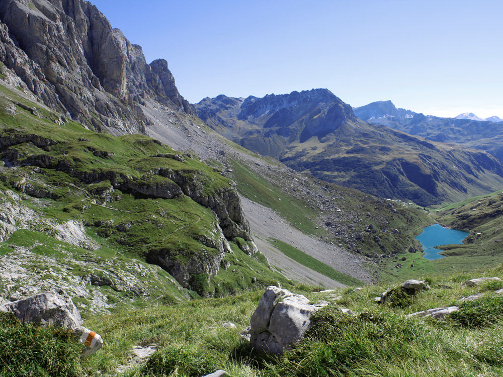
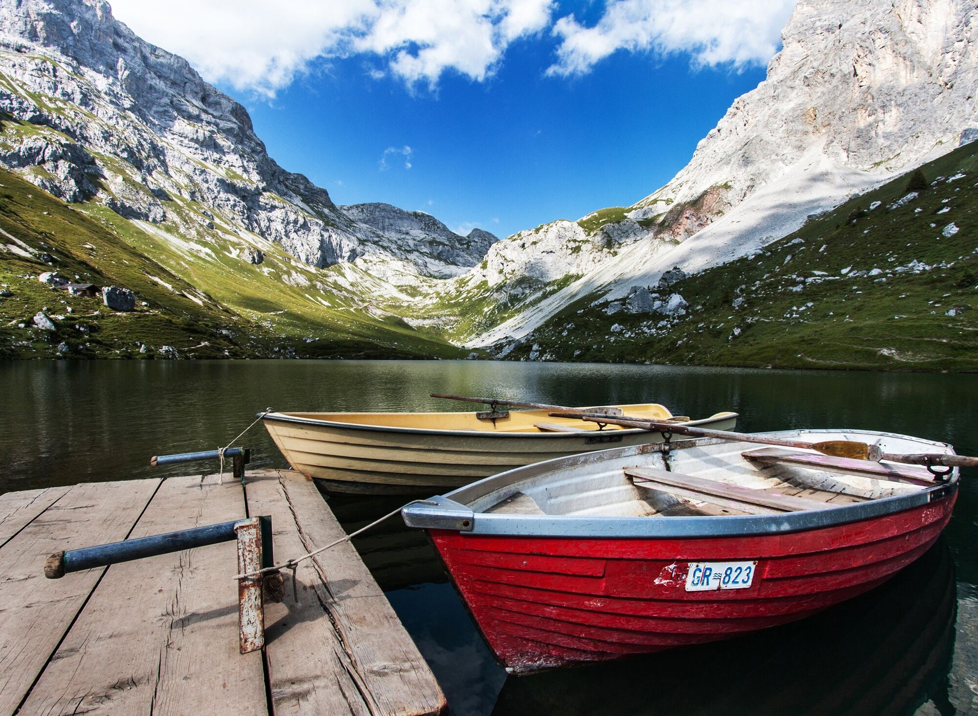
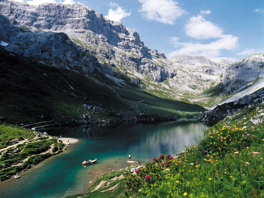
Starting in Partnun, you climb over lush pastureland to the entrance of Gamstobel. A small rock step secured with wire ropes requires concentration before the path ascends steeply and, through loose scree, also strenuous towards Sulzfluh. Upon reaching point 2698, a detour to the 2817m high Sulzfluh summit is worthwhile. The panorama compensates for all effort. Across the extensive and barren karst terrain, you follow the scree field along the border to Austria towards Tilisunahütte. The terrain turns gently green again. After a short detour to Tilisunahütte, ascend to Grünen Fürggli, where the border returns to Switzerland. Then the path descends past karst caves and flat limestone walls with a view of the crystal-clear Partnunsee. Passing the lake to the right, you soon reach the starting point in Partnun.
About the author:
Stephan Hugenschmidt is winner and course record holder of the Eiger Ultra, Zugspitz Ultratrail, and Madrisa Trail. Stephan lives in Grüsch and knows the trails in Prättigau like the back of his hand. He especially loves that the trails in Prättigau are not overcrowded and that you can spend hours in intact nature.


Partnun - Gemschtobel - Pt. 2698 - Tilisunahütte - Grünen Fürggli (Pt. 2318) - Partnunsee - Partnun
Ja
Suitable trail running shoes, backpack with drink (water or energy drink), food (bars, gels or maybe a sandwich with Prättigau mountain cheese and Bündnerfleisch?), wind jacket, mobile phone, and emergency kit.
Sure-footedness and fitness are required.
Motorway A13 to Landquart. Take exit 14 and follow the national road N28 towards Landquart, Davos, Vereina. Leave the national road in Küblis towards St. Antönien, Küblis. Then follow the mountain road to St. Antönien and then towards Partnun.
Take the Rhaetian Railway to Schiers or Küblis and then the post bus to St. Antönien. Some routes go to the Sagaris / Garstett stop, which is half an hour's walk below Partnun, others to St. Antönien Platz (village). From St. Antönien Sagaris you can use the Bus Alpin Bus alpin to Partnun.
All parking in St. Antönien is subject to charges. Payments can be made in cash, via the Parkingpay app, Easy-Park or Twint. The last parking lot P6 with day ticket is located below Partnunstafel, about 3.5 km outside St. Antönien. The parking below the mountain houses is reserved for guests.
This trail is one of many top routes in the shared trail network Prättigau-Klosters-Davos.
Discover more routes at:
https://www.davos.ch/sommer/aktivitaeten/trailrunning/trailrunning-touren/
Enjoy a few extra altitude meters and the spectacular view from the 2817m high Sulzfluh summit!
Populaire rondleidingen in de buurt
- 4,7
Schmugglerpfad
mediumThemapad8,60 km - 5,0
Douglasshütte, Lünersee, Gafalljoch Brand bei Bludenz, Vorarlberg
lichtWandelen9,16 km - 4,4
Golm-Rundwanderweg im Rätikon
mediumThemapad7,28 km - 5,0
Lindauer Hütte (1.744m)
lichtToerskitocht14,0 km - 4,8
Vom Kristberg über Wildried nach Silbertal
lichtWandelen13,8 km - 4,3
Golmer, Höhenweg und Golmer Seenrundweg
mediumBergwandelen7,62 km - 4,8
Gauertal - Lindauer Hütte
mediumSneeuwschoen14,0 km - 3,5
Golmer Höhenweg - Geißspitze
mediumWandelen13,8 km - 4,7
Alpgues circular route
mediumThemapad9,36 km - 5,0
Schesaplana (15.07.2018)
zwaarWandelen8,68 km
Wandelen en spoorzoeken


Mis geen aanbiedingen en inspiratie voor je volgende vakantie
Uw e-mailadres is toegevoegd aan de mailinglijst.