


Ela circular route


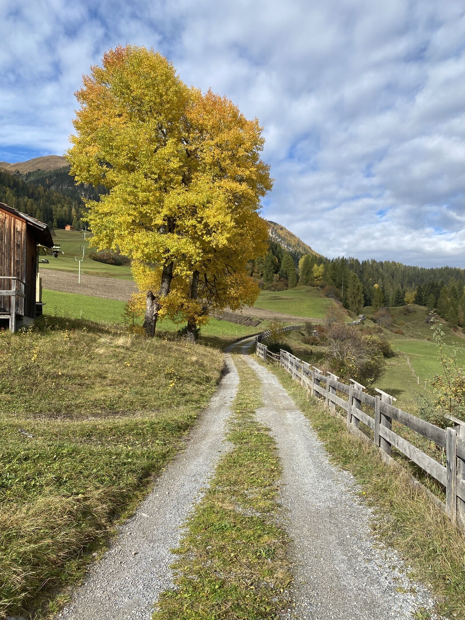
This varied hike starts in Bergün and leads past the Ela hut, the Ela pass, and the Fuorcla Tschitta to Naz and back to Bergün. The route is, of course, also possible in the opposite direction.

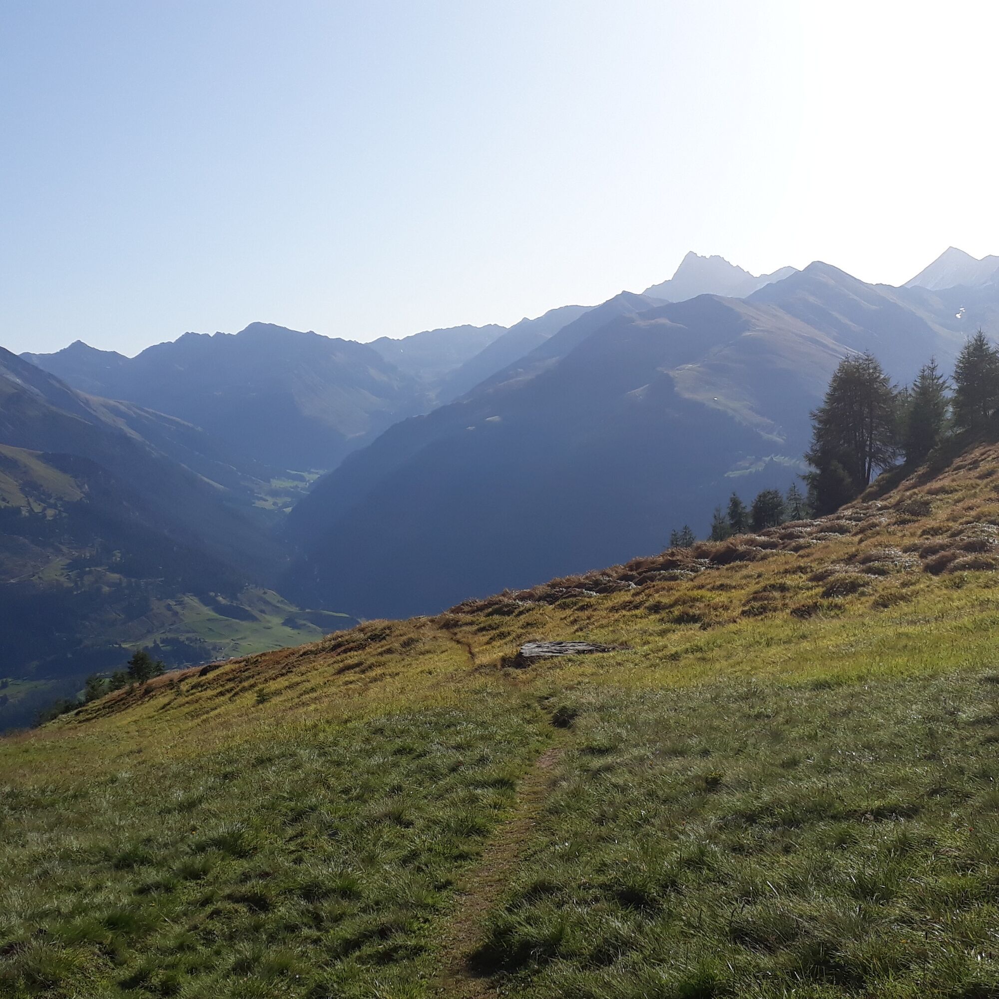
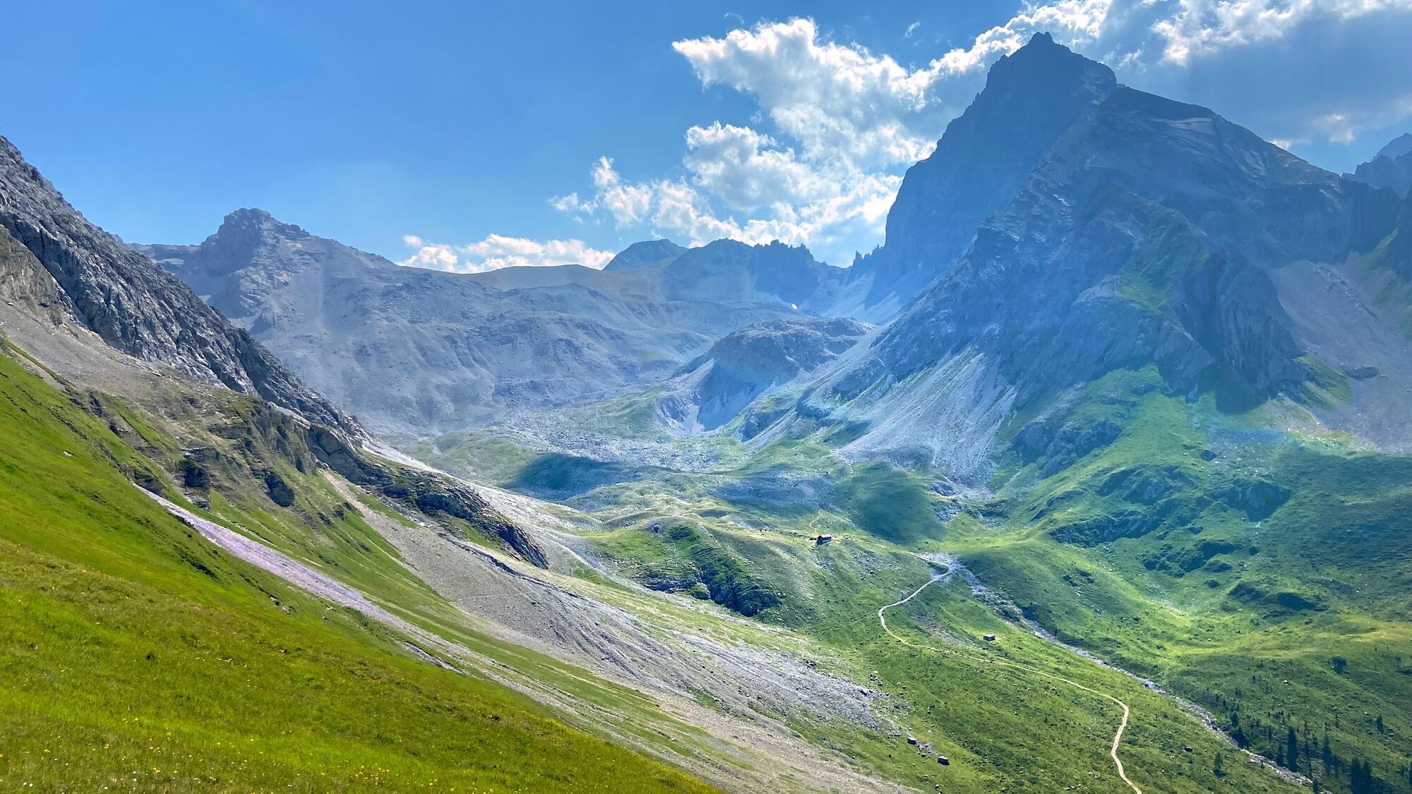
The route starts at the sawmill in Bergün and leads over a steep ascent to the Chavaigl grond junction. From there, you enjoy a fantastic view of the Val Tuors and Val Tisch. After a short descent to the Ela hut SAC, you reach the Ela pass via a steadily ascending path. As an addition, you can hike the detour over the Orgels Pass.
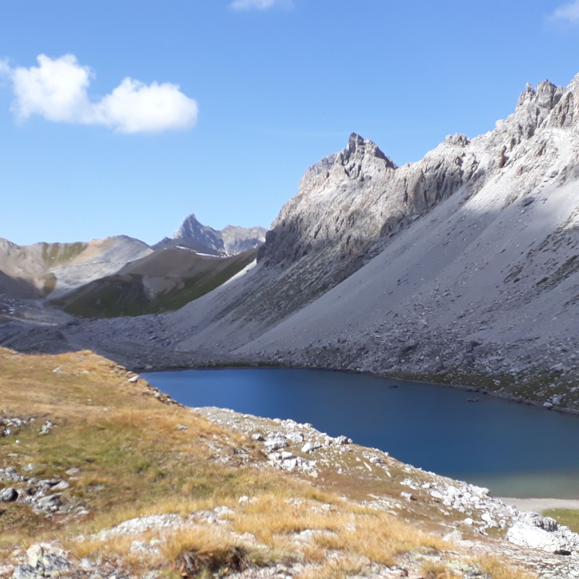
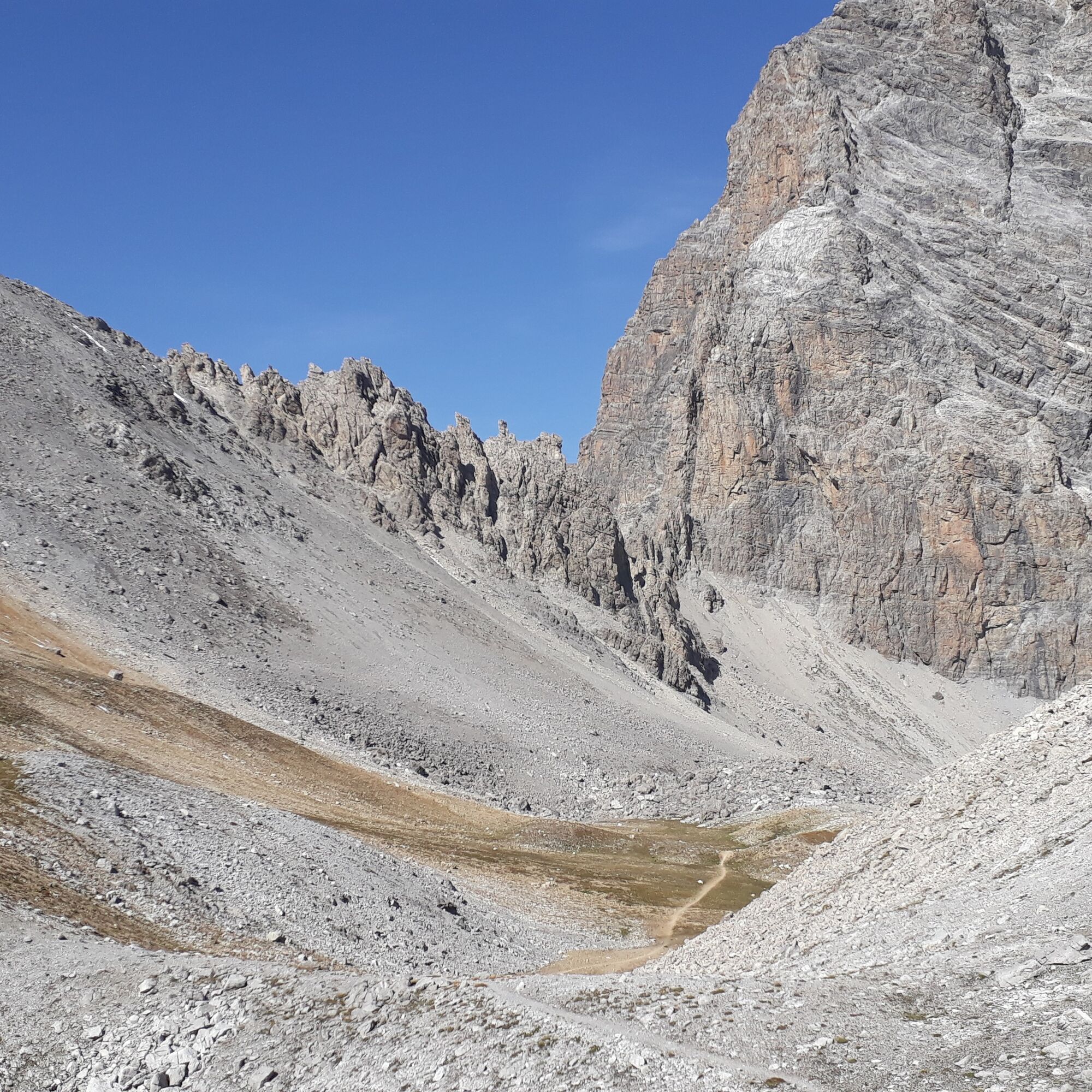
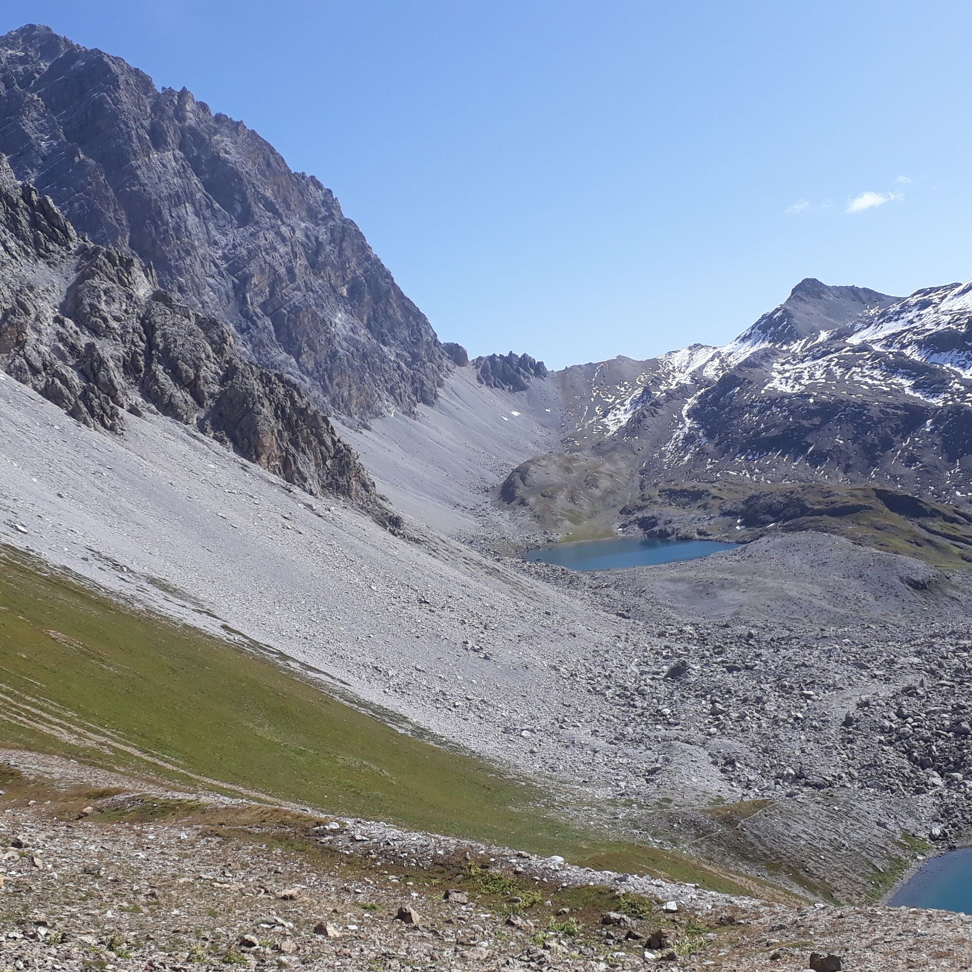
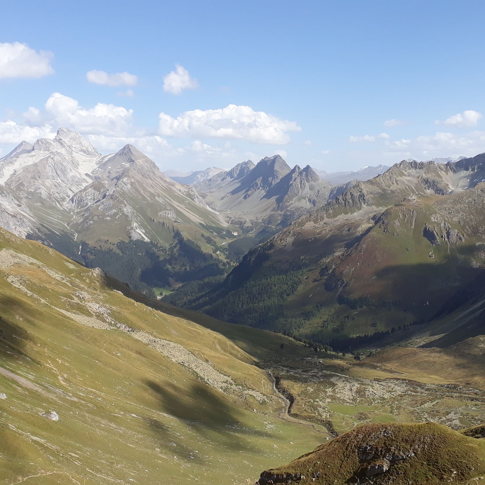
From the Ela pass, the path leads down to the three mountain lakes. In this area, the various types of rock can be seen very well, and with Piz Ela close at hand, the hike becomes a special experience. The ascent to Fuorcla Tschitta is rewarded with a beautiful view of the mountain scenery around the Albulapass. After the pass crossing, the path leads over alpine meadows to the Maiensäss settlement Naz. The return is via the railway adventure path to Bergün.
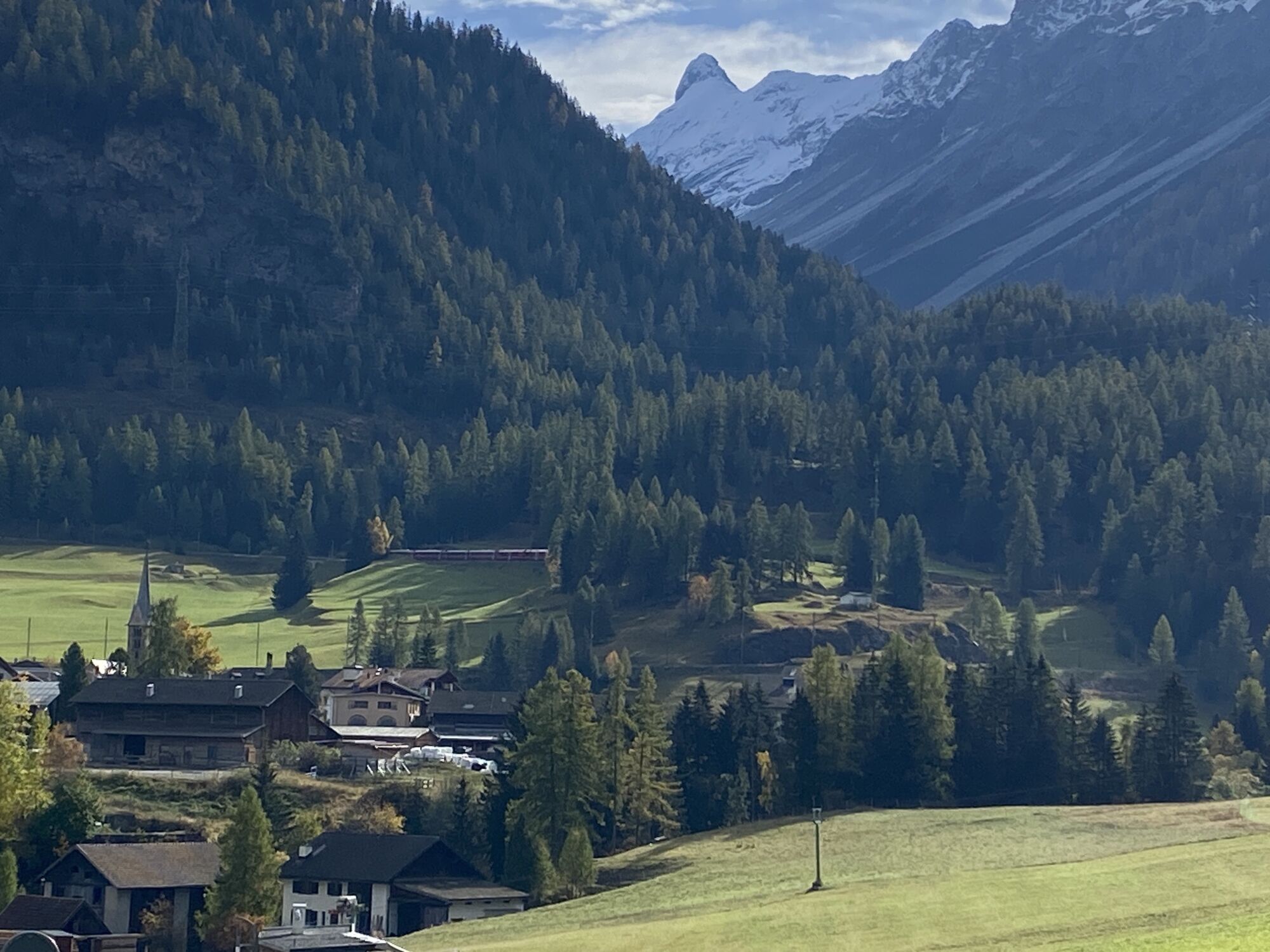
The circular hike can be finished in Preda. From there, a train runs to Bergün every hour.
Ja
Walking poles and sturdy hiking boots are recommended.
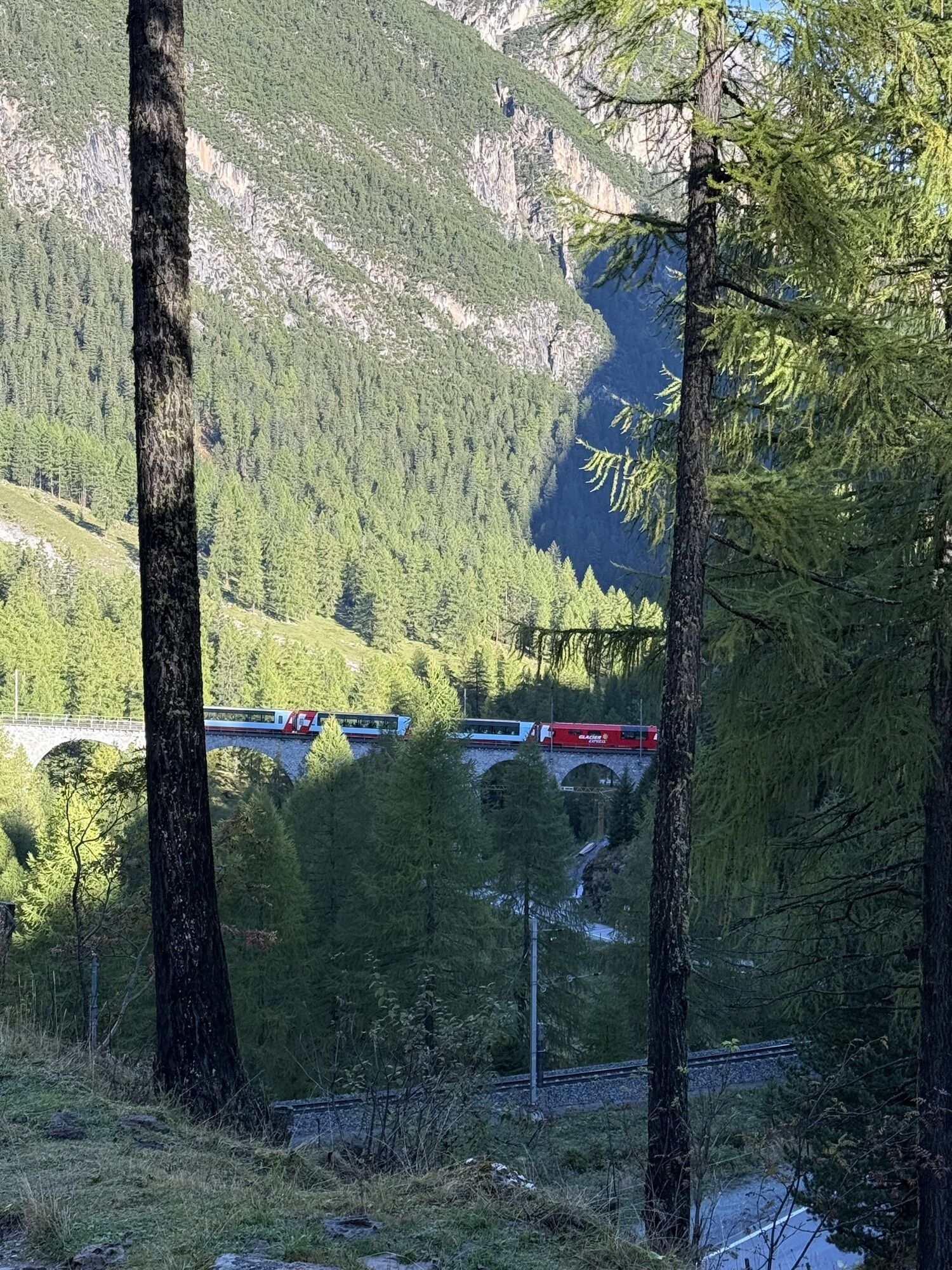
By train to Bergün
Webcams van de tour
Populaire rondleidingen in de buurt
-
Kesch Trek Tour (4 stages)
mediumlangeafstandswandelpad 47,6 km -
4,0
Piz Nair - Corviglia - Chantarella
mediumWandelen 8,20 km -
Piz Nair-Val Bever-Celerina
mediumMountainbike 21,2 km -
Panoramaweg Darlux
mediumWandelen 9,42 km -
Piz Ot
zwaarHigh rope 14,5 km -
5,0
Winter hiking path Marguns - Chantarella
mediumWinterwandelen 3,71 km -
ALP FLIX
mediumWandelen 13,0 km -
La Punt-Albulapass-Es-cha Hut-Madulain
mediumMountainbike 25,9 km -
3,7
Spinas - Fuorcla Crap Alv - Preda
mediumWandelen 12,1 km -
Corviglia – Marguns
mediumWinterwandelen 3,05 km
Wandelen en spoorzoeken


Mis geen aanbiedingen en inspiratie voor je volgende vakantie
Uw e-mailadres is toegevoegd aan de mailinglijst.